Hiking Around Las Vegas

Hikes at Red Rock Canyon National Conservation Area
Locate hikes on a click map. Locate trailheads on a click map.
Red Rock Canyon Area Backroads |
||||
Points of Interest |
||||
Red Rock Canyon National Conservation Area (NCA) is located on the west edge of the Las Vegas Valley (map) and includes the red and white sandstone cliffs that can be seen from most places in town. The scenery is spectacular and worth a visit even for non-hikers. The sandstone cliffs lie up against the Spring Mountains, and as the name implies, there are many springs and other water out there. Many of the hikes lead up narrow canyons to creeks and waterfalls, which during summer give a nice respite from the heat. During winter, full-sun hikes can be warm and delightful. Red Rock Canyon NCA is large (197,000 acres), but many locals refer to the Scenic Loop area as "Red Rocks." When locals say that they are going to Red Rocks, they usually mean that they are going to the Scenic Loop area, which is only a small portion of the National Conservation Area. Access to the Scenic Loop Road is controlled by a reservation system between November 3 through May 31 of each year. Timed Entry Permits are for a vehicle, not for people in the vehicle, and allows entry at the top of each hour with an allowance for 30-minute early arrival and 30-minute late arrival. For example, with a 9:00 am. Timed Entry Permit, visitors can enter the Scenic Loop Road between 8:30 am. and 9:30 am. Reservations are available through the Recreational website and cost $2 each per day. All of the rest of Red Rock Canyon NCA remains free and reservations are not required. For details, see Frequently Asked Questions on Timed Entry Permit System at Red Rock Canyon National Conservation Area. The Visitor Center is located near the start of the one-way, Scenic Loop Road. Stop at the Visitor Center to learn about the area, then drive around the Scenic Loop Road. This is a 12-mile, one-way road, so get a map and plan your trip so that you don't pass something that might interest you. You can always drive the loop again, but good planning will save you some time and gasoline. For Lyft and Uber users, there is wifi, but no cell service, at the Visitor Center. Elsewhere, there is no wifi and limited cell service. This has resulted in people getting a ride out to the Visitor Center, but then being stranded when they want to get to a trailhead or back to town. Folks at the front desk can help. The Scenic Loop provides access to a number of hiking and picnic areas. As you drive the loop, you will pass the two Calico Hills Overlook areas (Calico I, Calico II), Sandstone Quarry, the Highpoint Overlook, the turn off to White Rock Springs, Willow Springs and Lost Creek, Ice Box Canyon, Pine Creek, and the turn off to Oak Creek Canyon. Except for the Highpoint, all of these are trailheads. For More Information on Getting to Red Rock Canyon NCA, Hours of Operation, Entrance Fees, Car Camping, Hiking Permits, Precautions, Rules and Regulations, and Links to More Information, visit the Red Rock Canyon National Conservation Area Overview Page. |
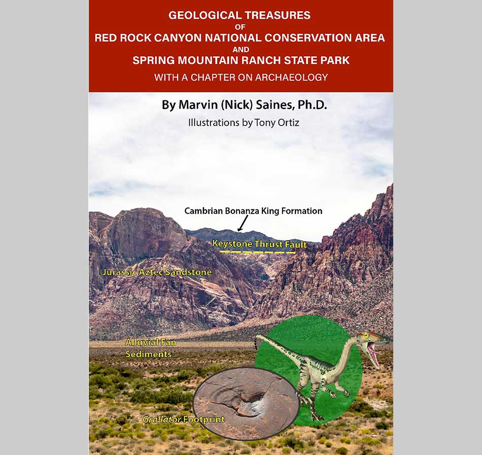
Interested in the Geology of Red Rocks? Local geologist, Nick Saines, just published an update to Geological Treasures of Red Rock Canyon National Conservation Area and Spring Mountain Ranch State Park. The book is revised from his 2021 PDF version with a new dedication and index. The book is listed on Amazon for $22.
Happy Hiking! All distances, elevations, and other facts are approximate.
![]() ; Last updated 250308
; Last updated 250308
| Hiking Around Las Vegas | Glossary | Copyright, Conditions, Disclaimer | Home |
