Hiking Around Las Vegas, Red Rock Canyon National Conservation Area
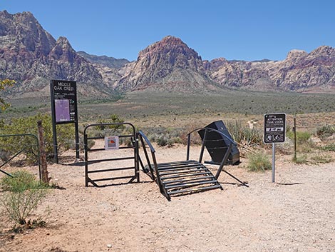 Middle Oak Creek trailhead sign and gate through fence (view W) |
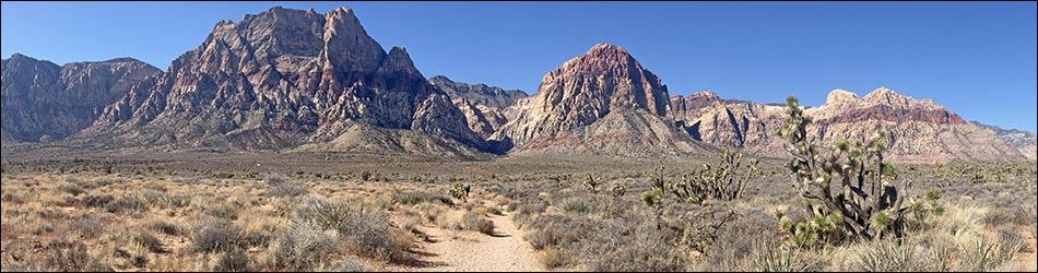
Overview The Middle Oak Creek Trail provides a pleasant walk across Red Rock Valley into Oak Creek Canyon, connecting with the regular Oak Creek Canyon Trail after 1.5 miles. For people who don't want to drive the entire Scenic Loop Road to get to the Oak Creek Canyon Trailhead, and for people who just don't want to pay the entrance fee, the Middle Oak Creek Trail provides alternate access to hiking and rock climbing areas along the Red Rock Cliffs. This hike starts in an area burned during the 2007 Bonnie Springs Fire (see map). The contrast between the burned and unburned areas displays dramatically what happens when the Mojave Desert Scrub burns, and as importantly, how slowly the desert scrub grows back. Link to trail map and confusing trail junction map. Link to BLM Georeference PDF map file. |
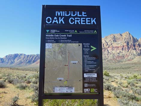 Middle Oak Creek trailhead sign (view SW) |
Watch Out Other than the standard warnings about hiking in the desert, ...this is a safe hike, even for kids. While hiking, please respect the land and the other people out there, and try to Leave No Trace of your passage. Also, this hike is just a short connector route, so be sure to bring what you need of the 10 Essentials for the entire hike. Getting to the Trailhead This hike is located in Red Rock Canyon National Conservation Area, about 40 minutes from town, but not on the Scenic Loop Road. Drive out West Charleston Blvd, past the Scenic Loop Road entrance and exit, to the Middle Oak Creek Trailhead. Park here; this is the trailhead. Alternatively, hikers may stop and park a few yards before the regular trailhead at another gate (Wpt. 07) in the highway fence, but this parking area is smaller and harder to use. Also, on the way back with tired legs, hikers will have to hike straight up the hill rather than hiking diagonally across the hillside at a more gentle grade. |
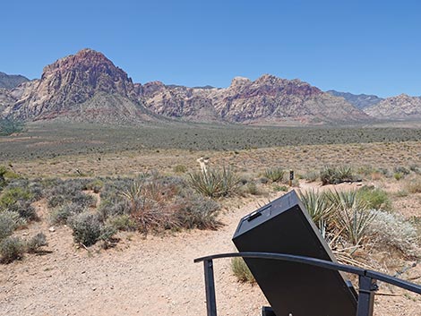
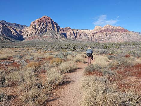
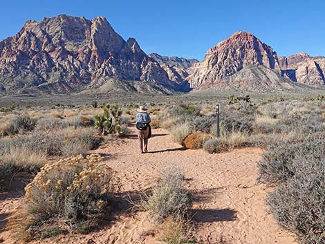
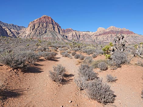
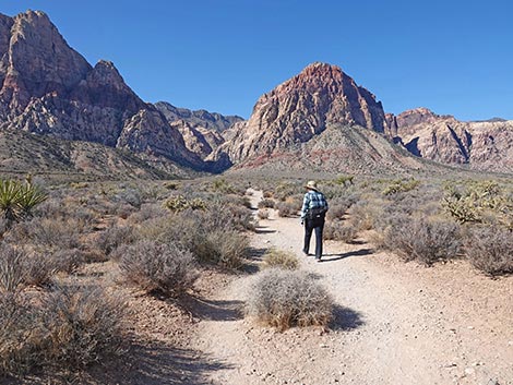
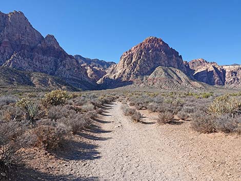
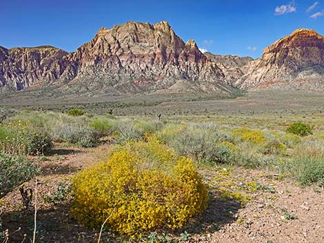 Grand view from the Middle Oak Creek trailhead (view W) |
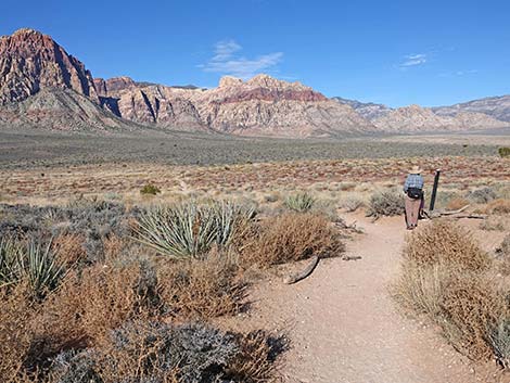
The Hike From the trailhead (Table 1, Waypoint 06), the Middle Oak Creek Trail runs through a gate that provides access to non-ambulatory hikers using vehicles like hand-cranked trikes and motorized wheel chairs (but not mountain bikes and ATVs). The trail starts heading northwest and runs down across a hillside that burned during the 2007 Bonnie Springs Fire (see map). There are several use-trails that branch off to the left into the burn area, but the main trail continues down across the hillside to the base of the slope. At the bottom of the slope, the Middle Oak Creek Trail bends left and merges with a trail (Wpt. 08) that comes down from the alternative trailhead. Now together, the Middle Oak Creek Trail heads west out across the desert flats towards the escarpment. While fighting the fire, firefighters successfully used this part of the trail as a fire break. Through here, the north side of trail is unburned and thickly vegetated with shrubs including Blackbrush, Eastern Joshua Trees, Mojave Yucca, Mojave Cottonthorn, Indigo Bush, Big Galleta Grass, Spiny Menodora, Buckhorn Cholla, and Buckhorn Cholla. |
 Crossing the Middle Oak Creek trailhead adaptive gate (view NW) |
On the south side of the trail, the vegetation is growing back, but the dominant species are grasses and early successional subshrubs such as Globemallow, Matchweed, and a few of the burned Banana Yucca are resprouting from the burned stumps. Comparing the burned and unburned sides, it is clear that many years will pass before nature reclaims the burn area, and probably many more years after that before Cactus Wrens, which build nests in the Buckhorn Cholla, return. Before long, the trail passes out of the burn area, and gradually begins to climb towards the Escarpment. Higher on the bajada, the vegetation becomes more diverse with many more Mojave Yucca, Eastern Joshua Trees, and also Desert Almond, which usually is more common in dry washes. |
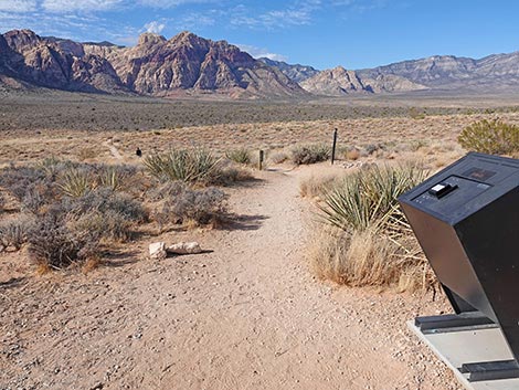 Start of Middle Oak Creek Trail (view NW) |
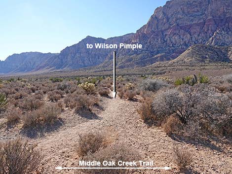
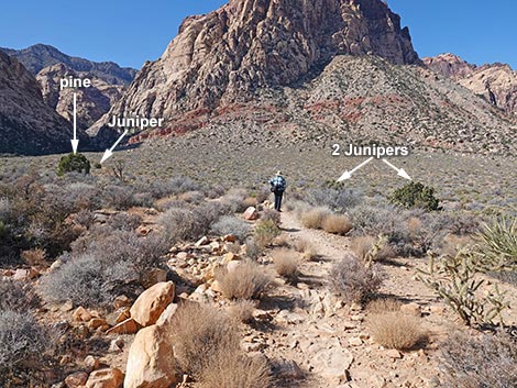
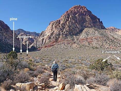
Up ahead, closer to the cliffs, Utah Juniper will begin to appear, and many Narrowleaf Goldenbush and California Buckwheat join the vegetation mix. The Middle Oak Creek Trail runs more-or-less straight west, passing several side trails along the way. At about 0.18 (Wpt. 09) and 0.64 miles out (Wpt. 10), use-trails to the right run north to the parking lot at the exit to the Scenic Loop Road (Exit Trailhead), and at 0.75 miles out (Wpt. 11), a use-trail to the left runs south to join the many use-trails around Wilson Pimple. At about 0.83 miles out, the nice, sandy trail crosses onto a different soil type and the trail becomes much more rocky. In stead of sand with a few rocks, the trail become rocks with a few smaller rocks. In this area, it also become more apparent that this trail was an old two-track road, and the trail becomes braided sometimes with three tracks in the width of the old road. |
 Sign and trail counter when departing the trailhead (view NW) |
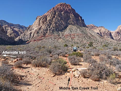
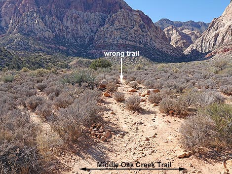
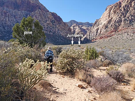
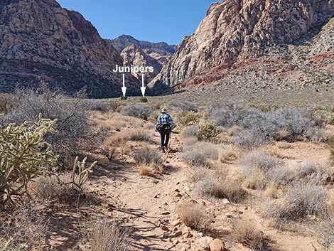
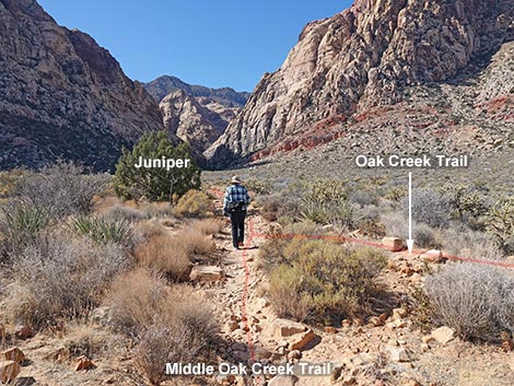
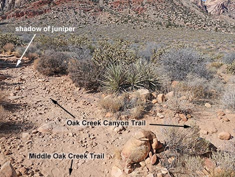
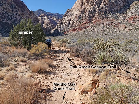
At about 1.3 miles out, the trail encounters a confusing junction where it seems that the old road bends hard to the left. Hikers can get there from here, but the left is not a better way to go. Instead, the trail continues straight up the hillside even though bushes obscure the trail ahead. Eventually the Middle Oak Creek Trail climbs onto and runs over a low ridge, passes to the left of a pair of isolated Utah Junipers, and drops to join the Oak Creek Canyon Trail (Wpt. 02). This area is confusing (map), as there is some multiple trailing and unmarked junctions with trails going in different directions, but by hiking west towards the mouth of the canyon, any trail will work. In general, the trail passes left of the pair of Utah Junipers, passes just to the right of an isolated Singleleaf Pinyon Pine (Wpt. 12), and then continues to join the Oak Creek Trail (Wpt. 02) a few yards short of the next isolated Utah Juniper tree. The last isolated Utah Juniper tree is near the Knoll Trail junction (Wpt. 03). |
 Information sign near the trailhead (view NW) |
When hiking back out, many people get confused and stay on the Oak Creek Canyon Trail (map), which leads to the wrong trailhead. Recall that the Oak Creek Canyon Trail passes the Knoll Trail junction, runs adjacent to the next isolated juniper, and then forks (Wpt. 02). The Middle Oak Creek Trail stays right (straight) at the fork aiming for the north side of the isolated pinyon pine tree (Wpt. 12). From the pine, the trail passes south of the pair of isolated Utah Juniper trees before crossing over the low ridge. From atop the low ridge, the Middle Oak Creek Trailhead is visible in the distance and the trail back is more obvious. |
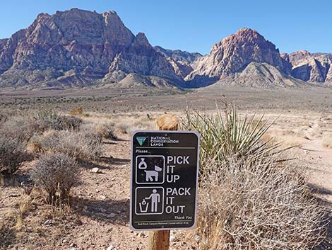 Poop on the trail is gross, and it harms the vegetation (view W) |
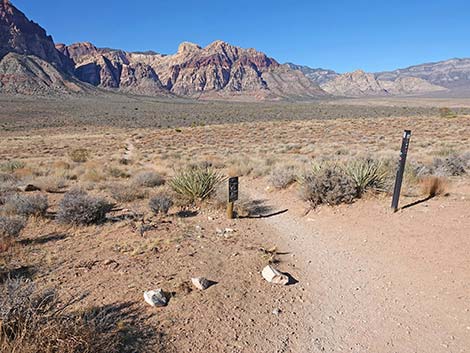
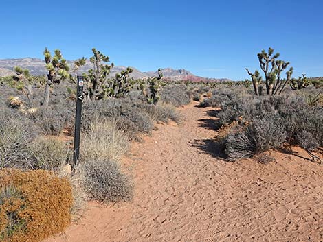
 Hiker passing the first trail marker (view NW) |
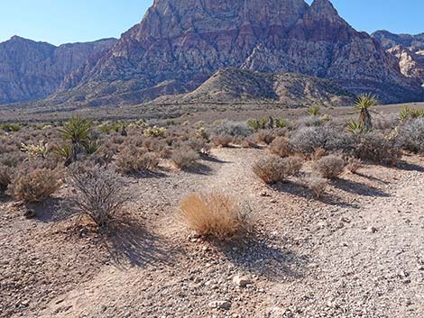
 The trail descends gently across an old wildfire scar (view NW) |
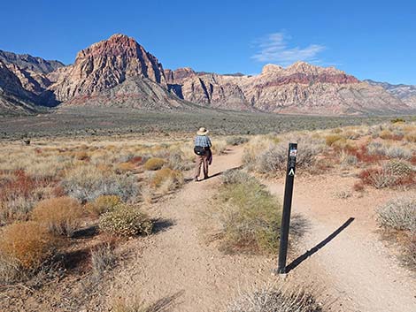 Hiker passing a second trail marker (view NW) |
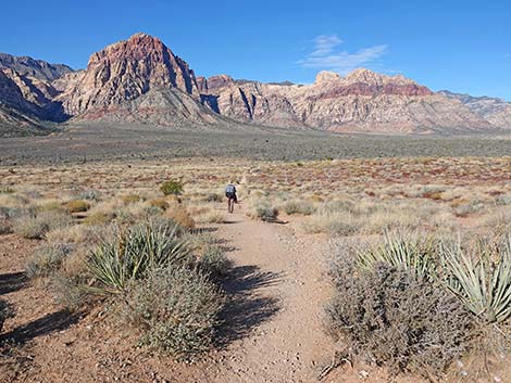
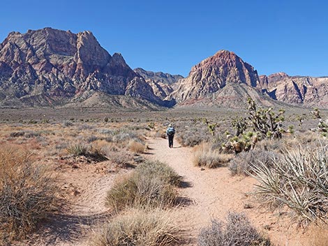
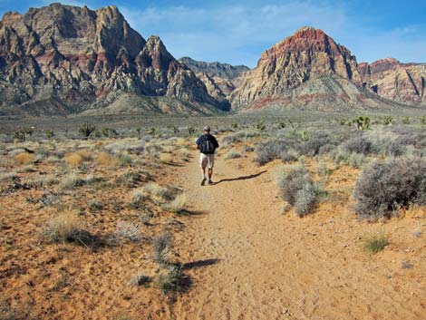
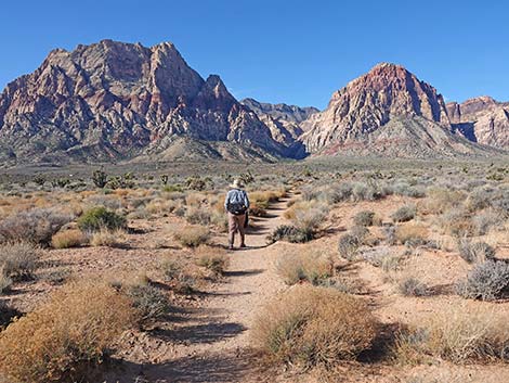
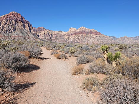
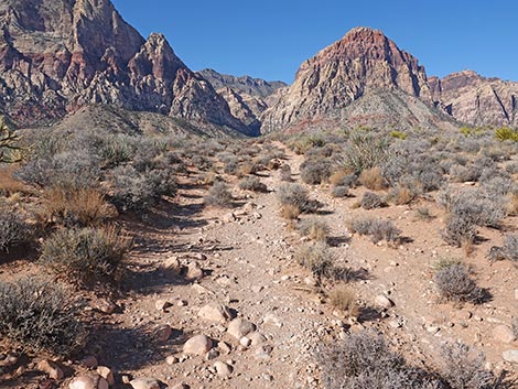
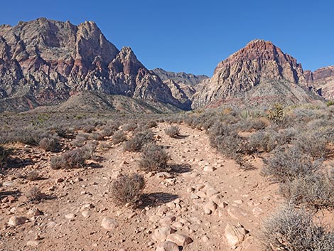
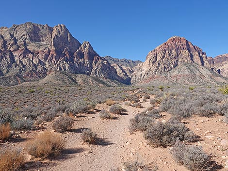
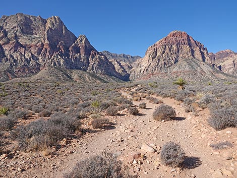
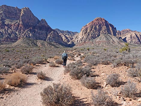
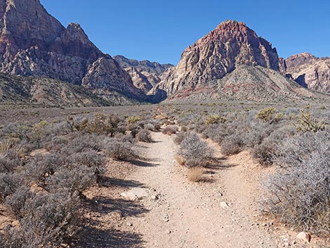
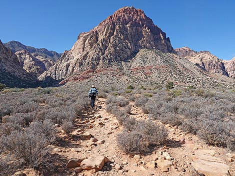
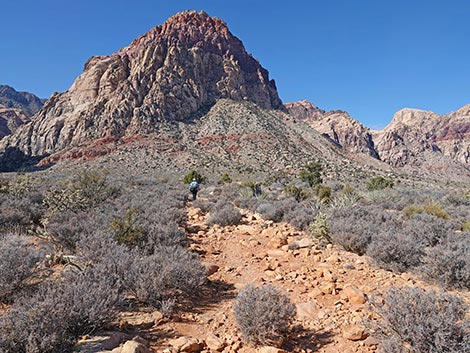
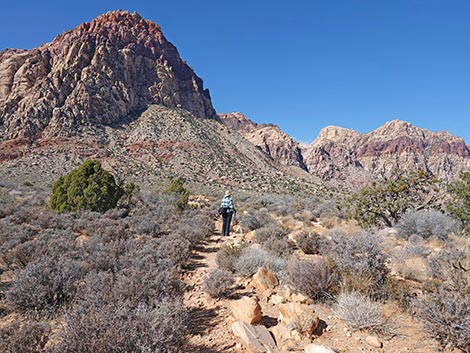
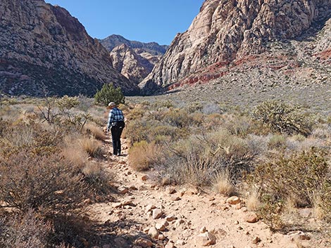
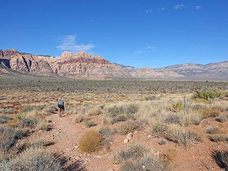 Grand scenery (view NW) |
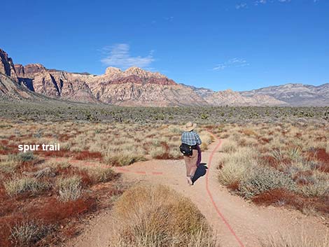 Hiker staying right at an unmarked spur-trail junction (view NW) |
 Spur use-trail; not the main trail (view SW) |
 Hiker in the burned area in 2009, 2 years after the fire (view NW) |
 The trail continues across burn area (view NW) |
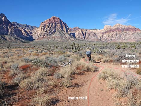 The main trail merges with trail from alternate trailhead (view W) |
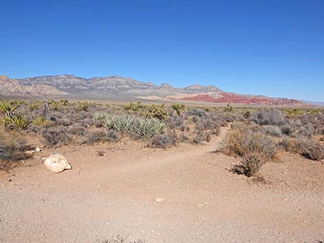
 Trail continues across desert flats (winter; view W) |
 The old road held as a fireline (May 2019; burn on the left, spring) |
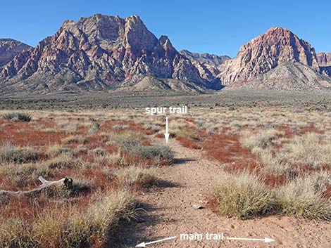
 Hiker at trail junction: main trail continues straight (view W) |
 Wide use-trail to the right (view NE) |
 Narrow use-trail to the left (view SW) |
 The old road held as a fireline (Feb 2011; burn on the left) |
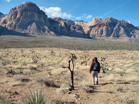
 Hiker continues through the old burn zone (view W) |
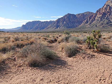
 Trail passes out of the burn zone and into unburned desert scrub |
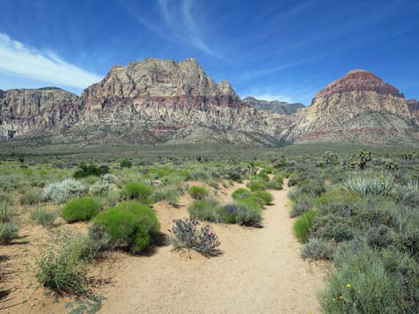
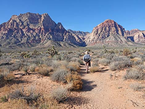
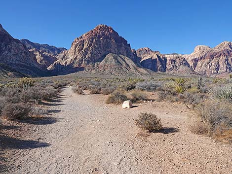
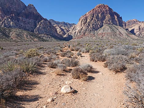
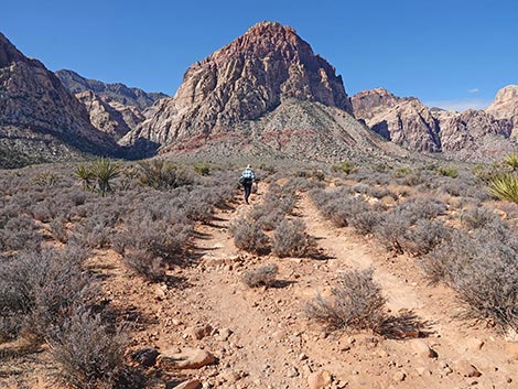
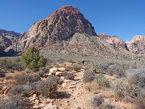
 Trail continues across unburned desert scrub (view W) |
 Middle Oak Creek Trail crosses wash and starts up hillside (view W) |
 Middle Oak Creek Trail runs up across the hillside (view W) |
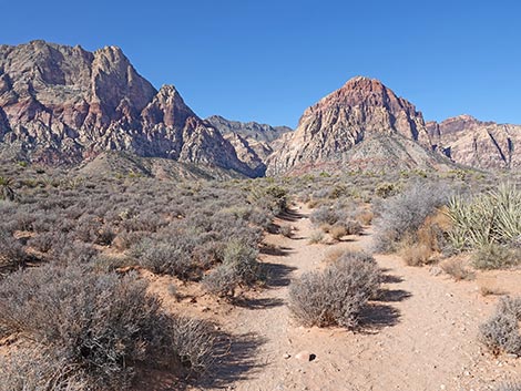
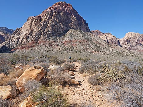
 Middle Oak Creek Trail (view NW) |
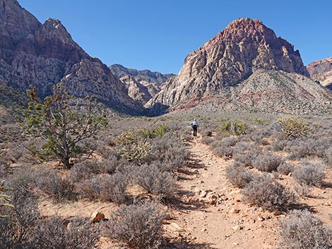
 Middle Oak Creek Trail (view W) |
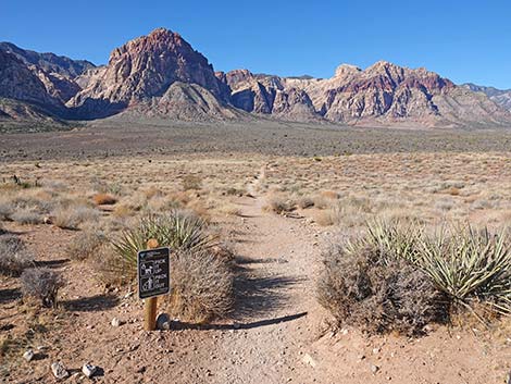
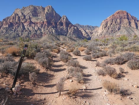 Middle Oak Creek Trail passes a trail marker (view W) |
 The trail starts getting rocky on the hillside (view W) |
 Rocky trail arriving atop the hillside (view W) |
 After climbing the hill, a nice bit of flat trail (view W) |
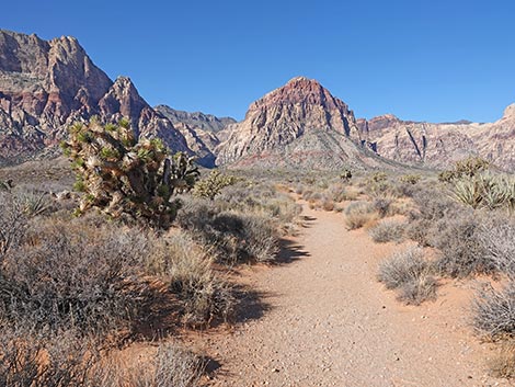
 Middle Oak Creek Trail (view W) |
 Middle Oak Creek Trail (view W) |
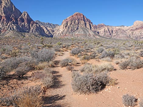
 Middle Oak Creek Trail (view W) |
 Unmarked trail junction to Scenic Road Exit Trailhead (view W) |
 Trail to Scenic Road Exit TH (view NE from Oak Creek Middle Trail) |
 Middle Oak Creek Trail (view W) |
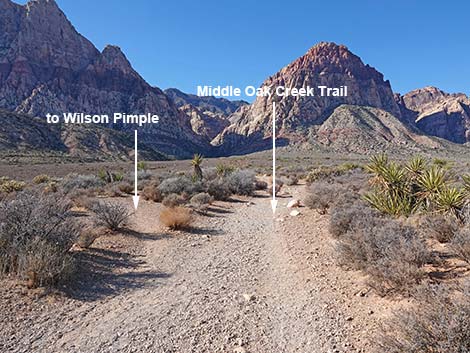 Trail junction; direct route to Wilson Pimple stays left (view W) |
 Trail junction; direct route to Wilson Pimple stays left (view W) |
 Wilson Pimple (view SW from Middle Oak Creek Trail) |
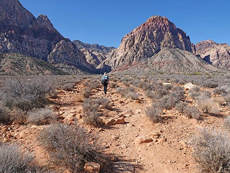
 Most of the Middle Oak Creek Trail to here is easy walking (view W) |
 Approaching the end of the easy walking (view W) |
 Suddenly, soils change, and the trail becomes quite rocky (view W) |
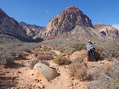
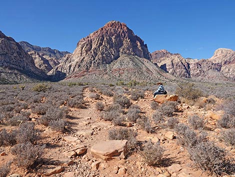 Hiker resting on the first really nice sitting rock (view W) |
 Some sections are not as rocky as others (view W) |
 Some sections are more rocky than others (view W) |
 Hiker at second nice sitting rock (Shinarump Conglomerate) |
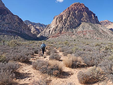 Middle Oak Creek Trail (view W) |
 Hiker approaching an unmarked trail junction (view W) |
 Trail forks; the left is not a better route; hiker on trail (view W) |
 The left is not a better route (view SW) |
 Hiker continuing on Middle Oak Creek Trail (view W) |
 Hiker continuing on Middle Oak Creek Trail (view W) |
 Hiker approaching the top of a low rise (view NW) |
 Hiker atop the low rise (view NW) |
 From atop low rise, note isolated trees (view NW) |
 The trail passes left of a pair of juniper trees (view W) |
 Trail passes adjacent to Singleleaf Pinyon Pine tree (view W) |
 The trail gets confusing here - hike towards juniper trees (view W) |
 Several interconnected trails - hike towards juniper trees (view W) |
 Several interconnected trails - hike towards juniper trees (view W) |
 Middle Oak Creek Trail terminates at Creek Canyon Trail (view NW) |
 Middle Oak Creek Trail ends at Oak Creek Canyon Trail junction view NW) |
 Hiker at first Juniper on Oak Creek Canyon Trail view W from Middle Oak Creek Trail) |
Table 1. Hiking Coordinates Based on GPS Data (NAD27; UTM Zone 11S). Download Hiking GPS Waypoints (*.gpx) file.
| Wpt. | Location | Easting | Northing | Elevation (ft) | Point-to-Point Distance (mi) | Cumulative Distance (mi) |
|---|---|---|---|---|---|---|
| 06 | Middle Oak Creek Trailhead | 639608 | 3996173 | 3,834 | 0.00 | 0.00 |
| 07 | Alternate Trailhead | 639597 | 3996293 | 3,825 | . | . |
| 08 | Old Road | 639432 | 3996298 | 3,797 | 0.14 | 0.14 |
| 09 | Trail Junction | 639372 | 3996294 | 3,780 | 0.04 | 0.18 |
| 10 | Trail Junction | 638669 | 3996324 | 3,866 | 0.45 | 0.63 |
| 11 | Trail Junction | 638510 | 3996325 | 3,881 | 0.10 | 0.73 |
| 12 | Trail Junction | 637384 | 3996374 | 4,025 | 0.71 | 1.44 |
| 02 | Oak Creek Trail | 637273 | 3996351 | 4,021 | 0.08 | 1.52 |
| 03 | Knoll Trail Jct | 637160 | 3996333 | 4,104 | . | . |
Happy Hiking! All distances, elevations, and other facts are approximate.
![]() ; Last updated 250524
; Last updated 250524
| Hiking Around Red Rocks | Hiking Around Las Vegas | Glossary | Copyright, Conditions, Disclaimer | Home |