Backroads Around Las Vegas, Red Rock Canyon National Conservation Area
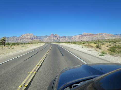
 West Charleston Blvd approaching Highway I-215 (view W) |
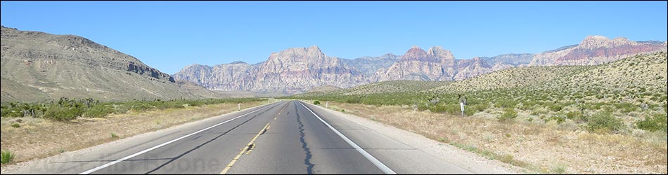
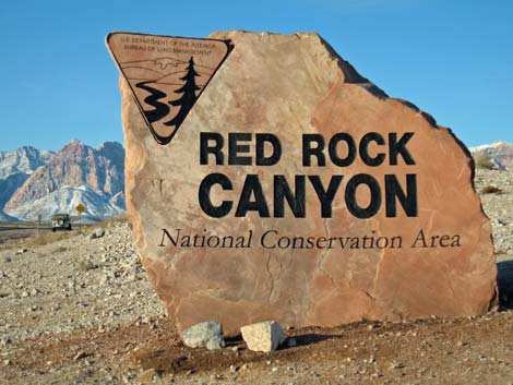
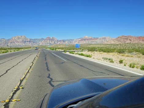
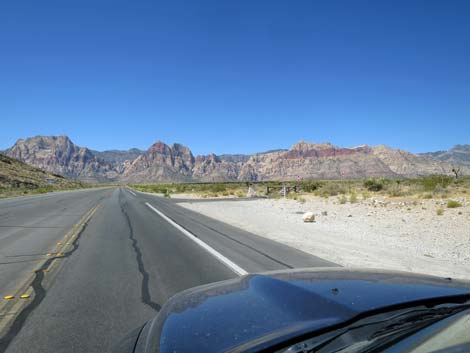
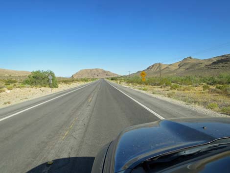
Overview West Charleston Blvd (Highway 159) is the access road to Red Rock Canyon National Conservation Area from west Las Vegas in the north or from Highway 160 in the south. The road is paved, two lanes (one in each direction), and has bicycle lanes that are also used by runners, people on scooters of various sorts, and people pushing baby strollers, so drivers always need to pay extra attention to driving despite the stunning scenery. West Charleston Blvd provides access to the main part of Red Rock Canyon NCA, two Wilderness areas, numerous hikes, scenic pullouts, rock climbs, picnic areas, Spring Mountain Ranch State Park, Cowboy Trail Rides, lots of grand scenery, Eastern Joshua Trees and a variety of desert vegetation types. For photos of the road in the other direction, see West Charleston Blvd - Eastbound. Link to Road Map. |
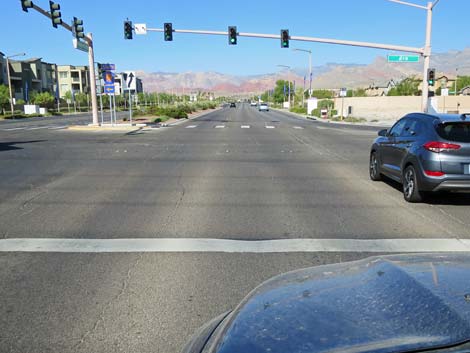
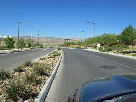
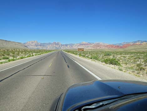
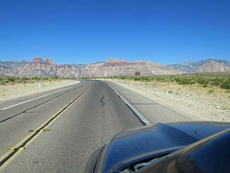
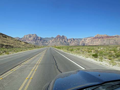
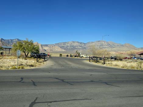
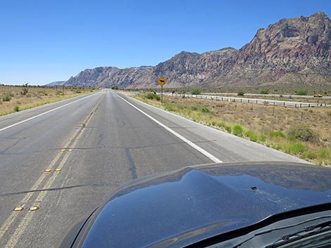
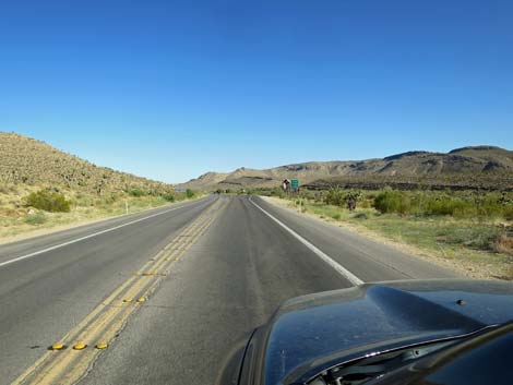
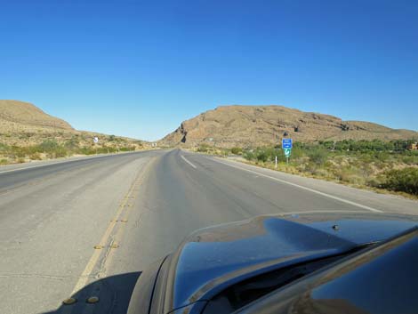
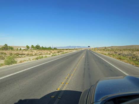
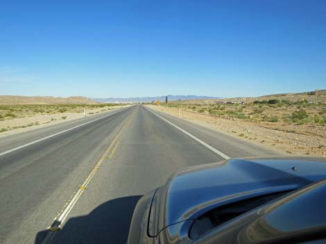
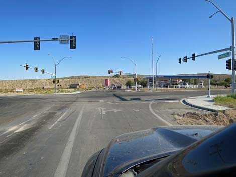
 West Charleston Blvd at Highway I-215 exit northbound (view W) |
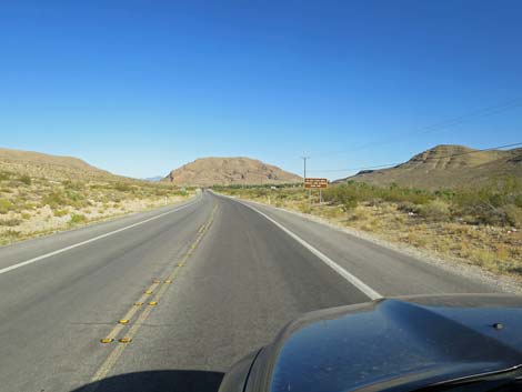
Watch Out Other than the standard warnings about driving in the desert, ...this is a fairly safe drive except that there are lots of pedestrians, bicycles, small animals, seemingly blind drivers, and people stopping at trailheads or along the road to take pictures. The speed limit is 50 mph, but many commuters drive much faster. Drive the speed limit, enjoy the view, and pay attention to warning signs. While out, please respect the land and the other people out there, and try to Leave No Trace of your passage. Also, even though this road is not in the backcountry, be sure to bring what you need of the 10 Hiking Essentials. |
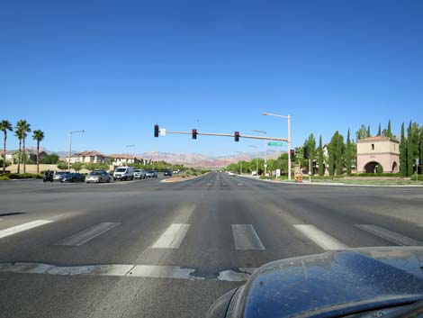
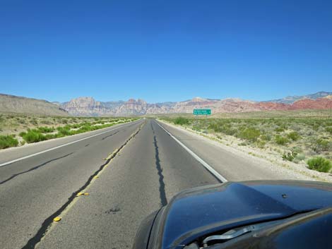
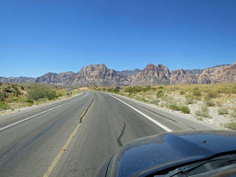
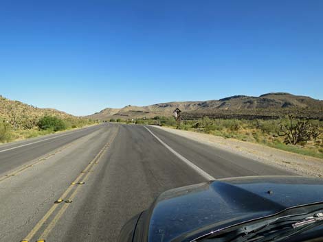
 West Charleston Blvd crossing Highway I-215 (view W) |
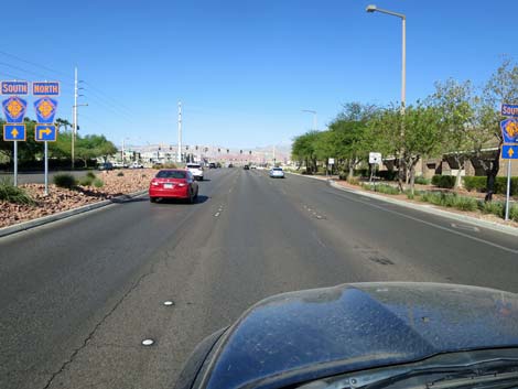
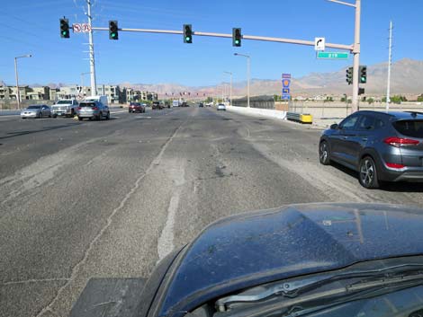
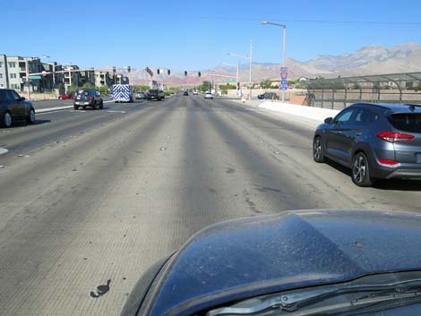
Getting to West Charleston Blvd (Highway 159) West Charleston Blvd (Highway 159) is one of the main east-west thoroughfare roads that stretch across the entire Las Vegas Valley. Inside Red Rock Canyon NCA, however, it bends to the south to connect with another of our main east-west highways: Highway 160 (the highway to Pahrump). As such, there are two ways to access West Charleston Blvd. From downtown Las Vegas, drive west on West Charleston Blvd out past the edge of town. It might be easier, however, to bypass city traffic by using Highway 95, Summerlin Parkway, and Highway 215 South to get to West Charleston Blvd. From southern parts of the Las Vegas Valley, consider driving west on Highway 160 out to the edge of town to access the southern end of West Charleston Blvd (watch for signs to Blue Diamond town). Alternatively, use Highway 215 to access the west end of West Charleston Blvd. |
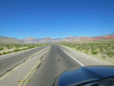
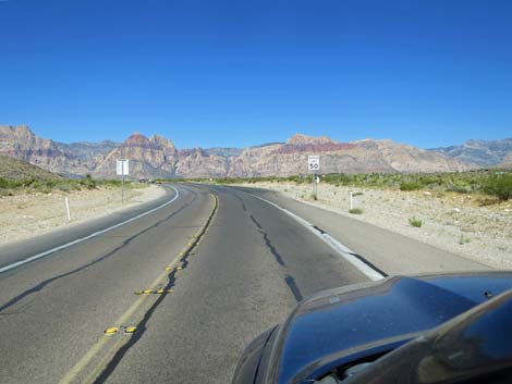
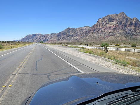
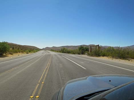
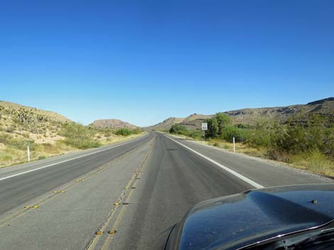
 West Charleston Blvd at Highway I-215 exit southbound (view W) |
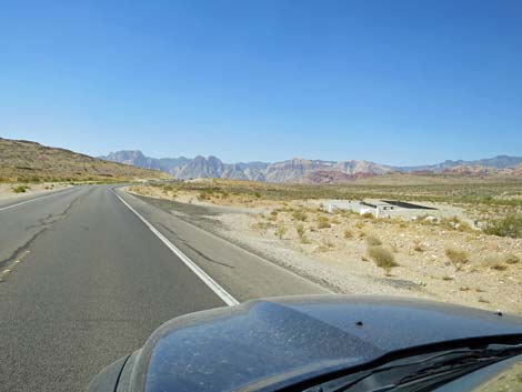
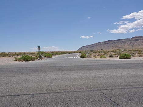
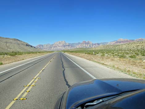
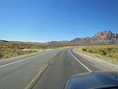
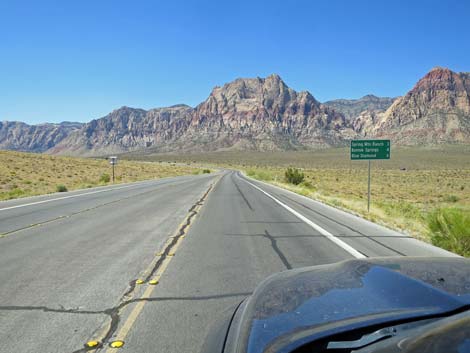
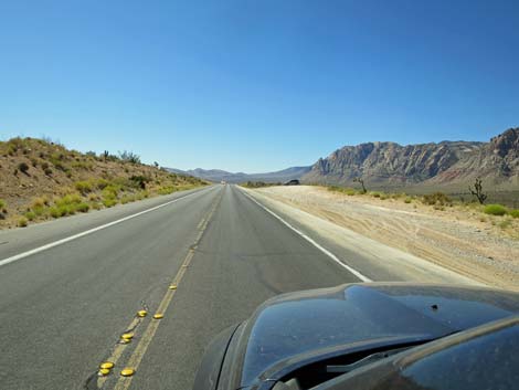
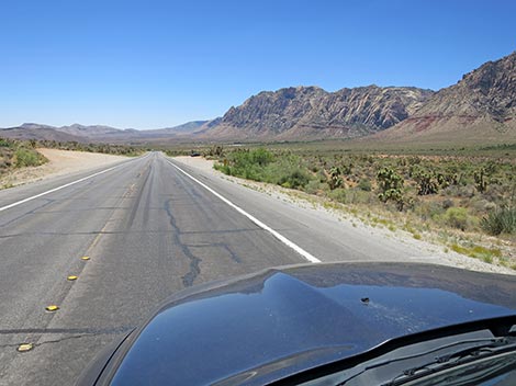
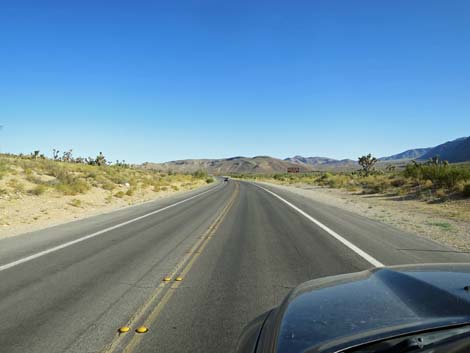
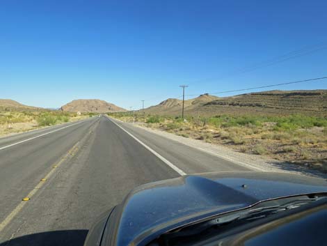
The Road From Highway 215 (Table 1, Site 0516), West Charleston Blvd runs west towards the red-and-white cliffs visible in the distance. The road runs straight passing two stoplights, a shopping center on the right (no gasoline), and a school on the left. The road begins to bend a bit to the left, passes Sky Vista Drive (on the right; watch for idiots coming out without stopping), and suddenly emerges into the desert. The road crosses a bridge over Red Rock Wash, and on the left a floodwater detention basin sometimes holds water. The bridge is a good place to start counting mileages. Across the bridge, at about 0.25 miles out, West Charleston passes the Gun Club Road on the left, and at about 0.7 miles out, passes the access road to the local model aircraft flight area on the right. Watch for the short, paved airstrip in the wash. |
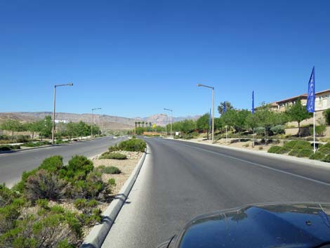
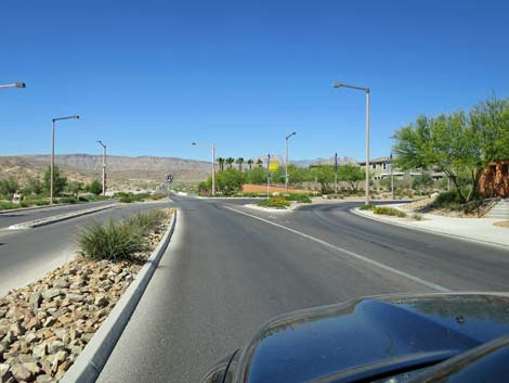
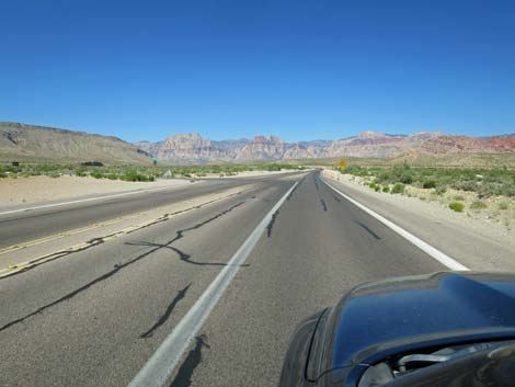
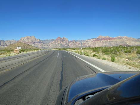
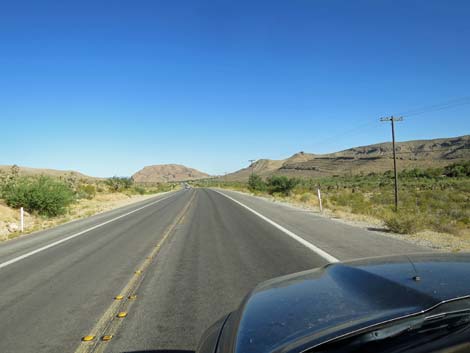
 West Charleston Blvd at Vista Center (view W) |
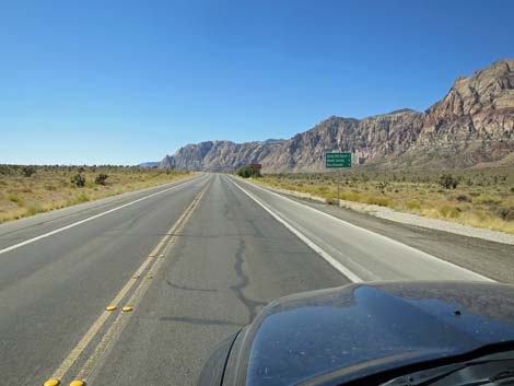
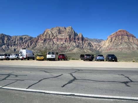
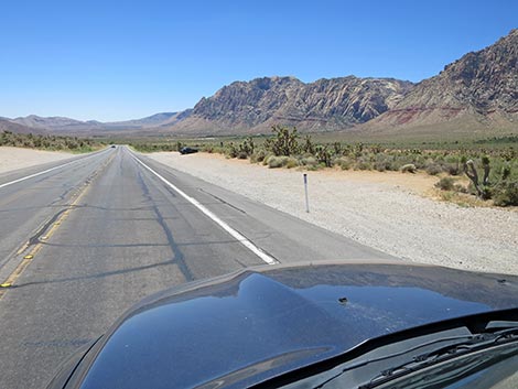
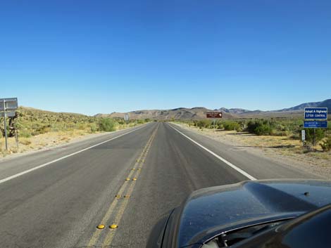
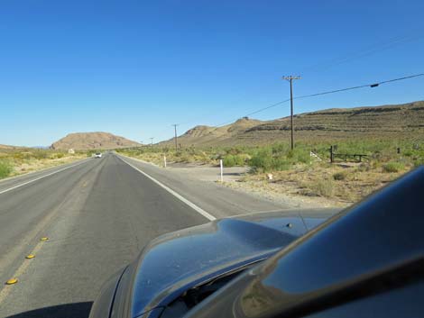
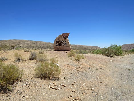
At about 1-mile out, West Charleston passes the "Welcome to Red Rock Canyon" photo-opp sign on the right. There is only roadside parking, so watch carefully for pedestrians in the roadway and drivers pulling back onto the pavement without checking for oncoming traffic. The sign is placed with, shall we say "not the most spectacular background," so hopefully our land managers will move it in the future and provide safe parking. Continuing, at about 1.9 miles out, West Charleston passes Moenkopi Road (Site 0995) on the left. This road leads to the BLM fire station and to Red Rock Campground. There is a sign when driving in the other direction. The campground is open seasonally during cooler weather, and the fire station is not generally open to the public. Continuing, West Charleston crosses back over Red Rock Wash, but here there is no bridge. During heavy winter storms and especially during the summer flashflood season, water flows across the pavement here. Never drive into deep flashflood waters. |
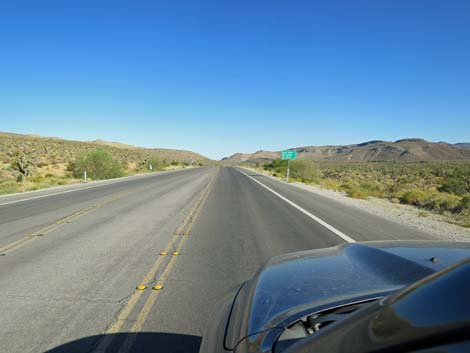
 West Charleston Blvd (Highway 159) on the west side of Las Vegas |
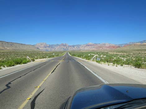
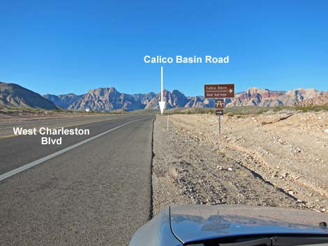
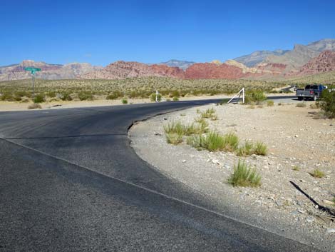
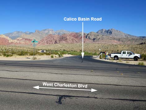
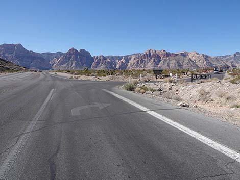
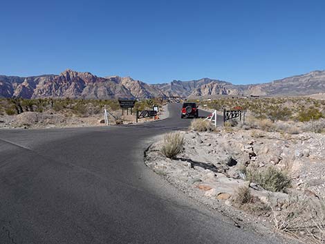
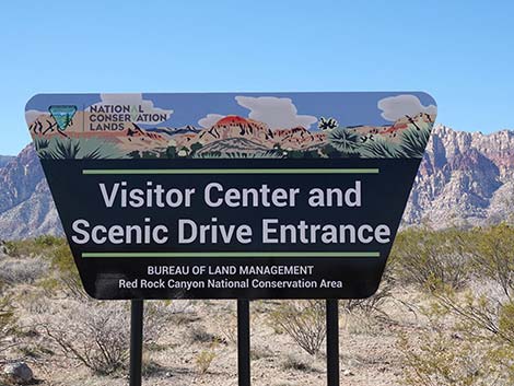
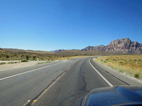
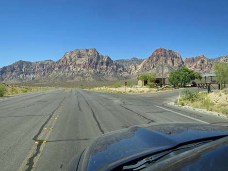
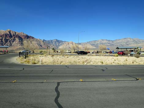
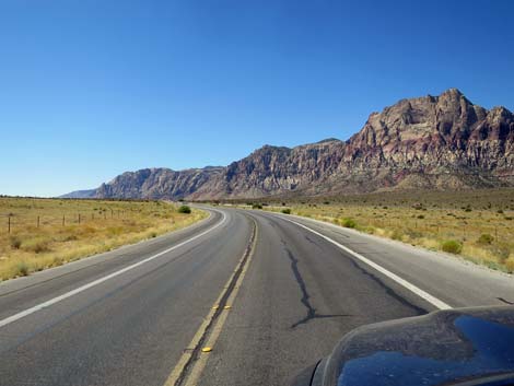
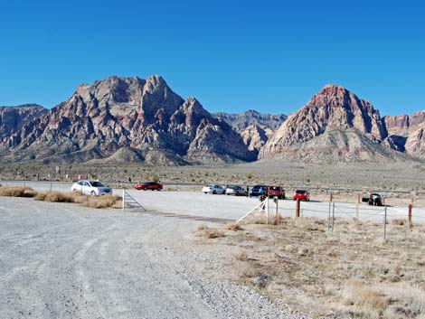
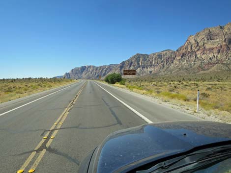
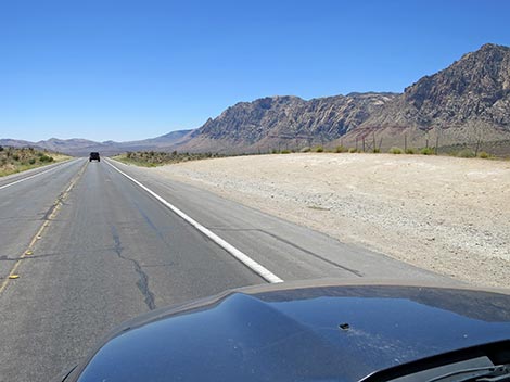
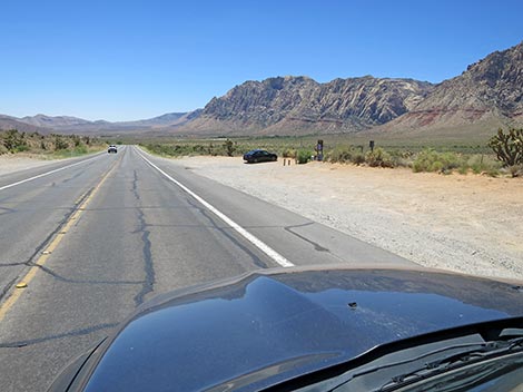
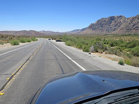
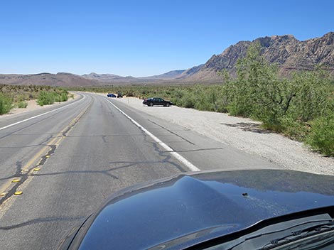
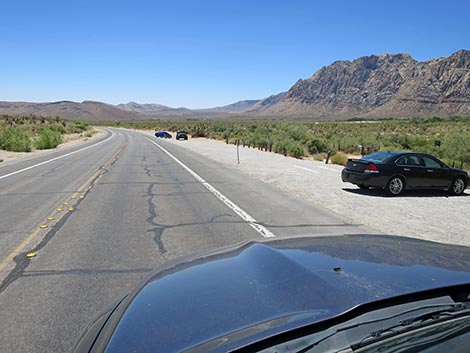
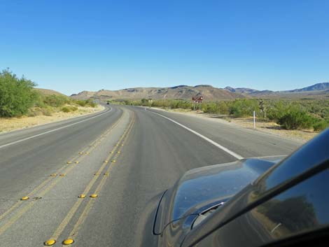
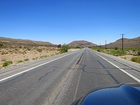
At about 2.4 miles out, West Charleston passes Calico Basin Road (Site 0520) to the right. This road leads into Calico Basin, an area with a picnic area, a boardwalk through the Red Spring meadows area, and several trailheads with miles of hiking opportunities outside the fee area. West Charleston winds along following Red Rock Wash, and at about 3.8 miles out, passes the entrance to the Red Rock Scenic Loop Road (Site 0519). The Scenic Loop Road provides access to the Red Rock Canyon Visitor Center, the 13-mile Scenic Loop Road (one-way only), and most of the popular hiking and picnicking areas, but visitors must first stop and pay the entrance fee. Continuing, at about 4.0 miles out, West Charleston passes the exit from the Scenic Loop Road. This exit primarily is for people who don't want to pay the entrance fee and people only going to the Visitor Center. |
 |
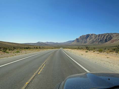
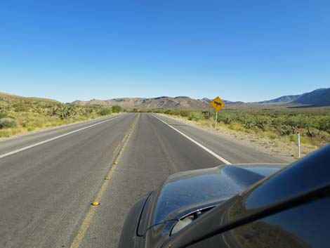
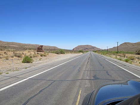
With grand views in all directions, West Charleston continues westward and crosses Red Rock Wash for the last time. Here, flood water flows through culverts under the roadway. Climbing over a low rise, the road begins to descend towards Cowboy Trail Rides, a concession providing horseback riding and other western ranching experiences. The only sign for Cowboy Trail Rides along the highway is a symbol sign of a cowboy on a horse. At about 4.9 miles out, West Charleston passes Cowboy Trail Rides access road (Site 0521). Watch for parking on the left and a traditional ranch gate advertising Horseback Riding. In addition to horseback riding, this trailhead also provides access to miles of bicycle and hiking trails on Blue Diamond Hill. This is the Cowboy Trail Rides trailhead. Now heading southwest, West Charleston climbs gently towards the next rise. To the left, some evidence of mining on Blue Diamond Hill can be seen, and on the right an unpaved parking area seems to attract ever larger crowds. There are no trails from here, but the scenery is grand. |
 The urban area seems to go on forever (view W) |
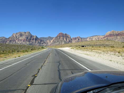
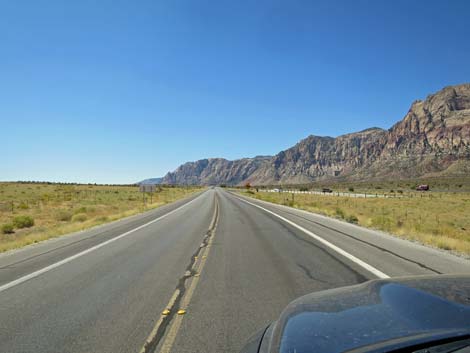
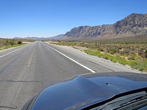
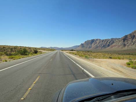
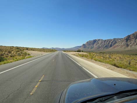
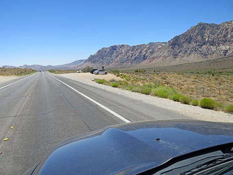
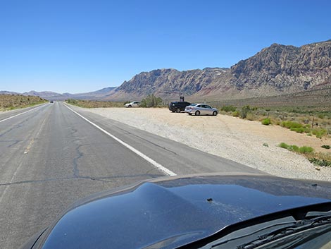
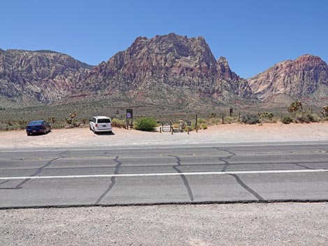
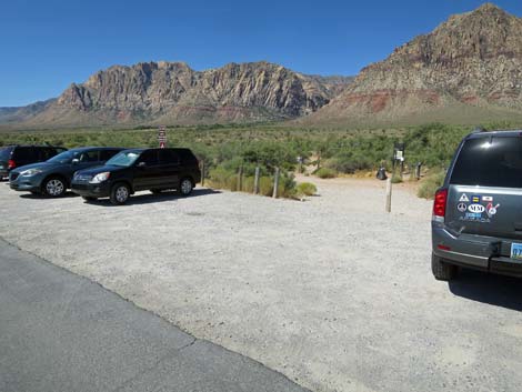
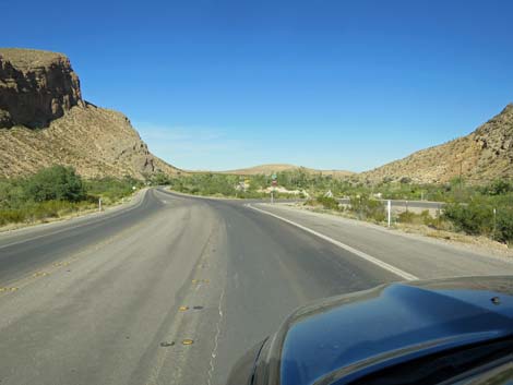
Climbing onto the rise, at about 5.6 miles out, West Charleston arrives at Red Rock Overlook (Site 1525), on the right. Red Rock Overlook is a scenic overlook and picnic area with the only public toilets along the road. This is a good place to stop and take photos of the mountains to the north and the red-and-white sandstone cliffs to the west. Continuing, West Charleston descends off the low rise and bends to the south. At about 6.1 miles out, West Charleston passes a large parking area on the right and the exit from the 13-miles Scenic Loop Road (Site 0532). Here, the Exit Trailhead provides ample parking for horse trailers and access to trails in the area. Now heading due south between the Wilson Cliffs to the right (west) and ridges associated with Blue Diamond Hill to the left (west), West Charleston begins a long run down into Cottonwood Valley. |
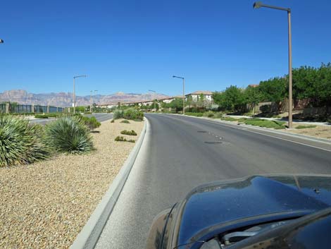
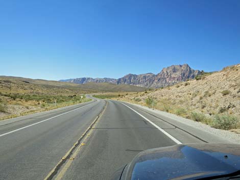
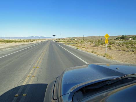
 West Charleston Blvd at Sky Vista Drive (view W) |
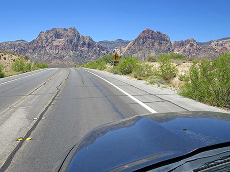
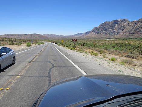
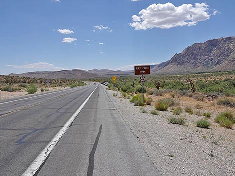
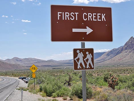
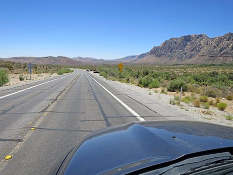
At about 6.7 miles out, West Charleston passes Middle Oak Creek Trailhead (Site 1037) with parking on the right and left. For hikers and climbers heading into Oak Creek Canyon, this provides free access and can be quicker than driving all the way around the Scenic Loop Road. Continuing, at about 7.6 miles out, West Charleston passes South Oak Creek Trailhead (Site 0894) with parking on the right and left. This trailhead provides access to the original campground (closed decades ago) and the Wilson Cliffs. Continuing, at about 8.1 miles out, West Charleston passes First Creek Trailhead (Site 0518) with parking mostly on the right. This trailhead is very popular and leads to First Creek Falls and up into First Creek Canyon. |
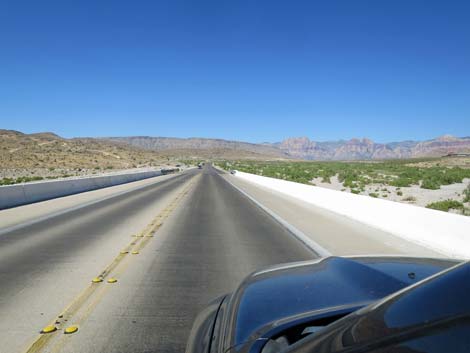 Bridge over Red Rock Wash (view SW) |
Now running southeast, at about 8.7 miles out, West Charleston passes the entrance road (Site 0673) to Spring Mountain Ranch State Park, on the right. This is a fee area, but has nice hiking trails, birdwatching, a picnic area, and the historical ranch house and outbuildings. During summer evenings, they host outdoor theater here. At about 9.4 miles out, West Charleston passes Bonnie Springs Road (Site 1345), on the right. This was a wild-west reenactment attraction that went out of business in early 2019. The area is scheduled for housing development. West Charleston continues southeast, and at about 10.0 miles out passes Oliver Ranch, on the right. This abandoned homestead was taken over by the BLM with hopes of developing an outdoor education center. With luck, those hopes are not dead. |
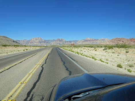
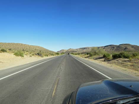
 Suddenly, drivers exit the urban area into the wilds of the desert |
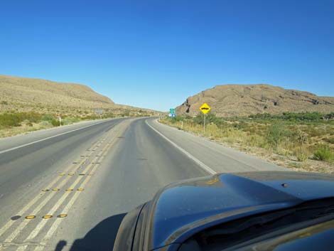
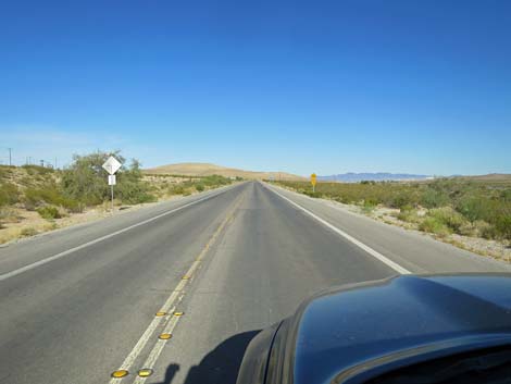
A bit farther along, at about 10.6 miles out, West Charleston passes a short dirt spur road (Site 1343) that leads to parking for Wheeler Camp Spring. This was the spring where travelers on the Old Spanish Trail stopped after leaving Las Vegas on their way to southern California. The spring is drying down, but moisture still feeds Fremont Cottonwood trees and Honey Mesquite thickets that attract lots of birds. At about 10.8 miles out, West Charleston passes the mine haul road from the gypsum mine atop Blue Diamond Hill. Watch for big trucks entering the highway. |
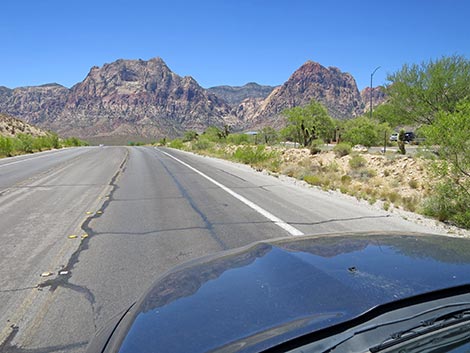
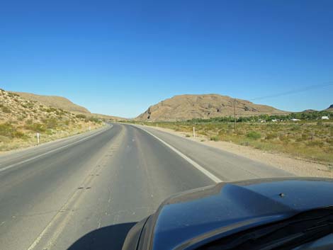
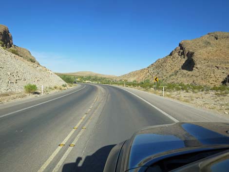
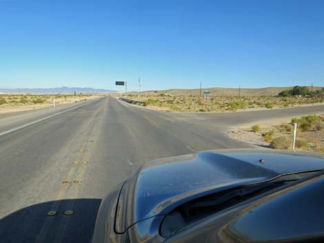
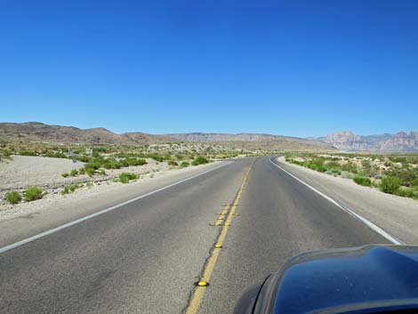 West Charleston approaching Gun Club Road (view SW) |
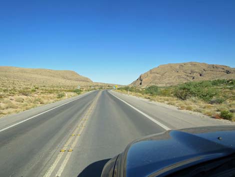
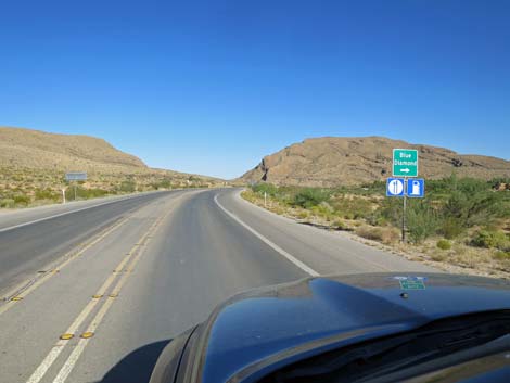
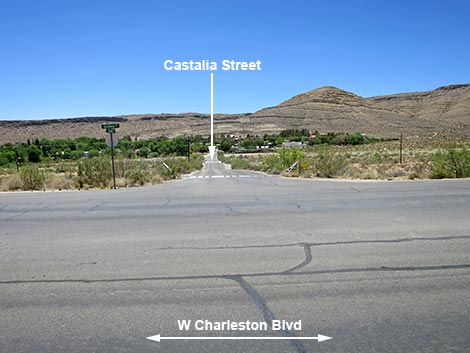
West Charleston continues southeast, and at about 11.4 miles out passes Castalia Street (Site 1344), on the right. This is the main access road to Blue Diamond Town. This is a private town that discourages tourists, but a bicycle shop (McGhie's Bike Outpost) and small restaurant (Cottonwood Station) are trying to buck the trend. This has become a popular place to start out on mountain bike trails in the area, and there are always wild burros grazing on the lawns. Now heading east, at about 12.0 miles out, West Charleston passes Arroyo Road, on the right. This is the southern road into Blue Diamond Town. At this point, West Charleston is also passing through a narrow canyon where the road is pinched between gray limestone cliffs. Emerging past the narrows, at about 12.6 miles out, West Charleston passes the access road to the gypsum plant on the left. |
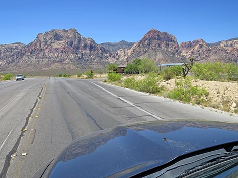
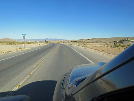
 West Charleston at Gun Club Road (view SW) |
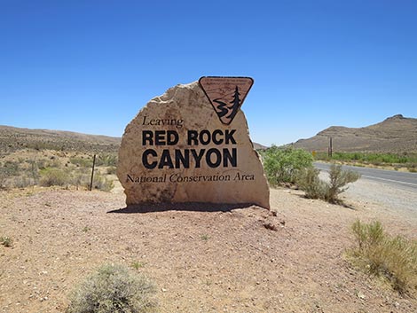
Descending to cross the broad Cottonwood Valley Wash, West Charleston crosses the wash and shortly a detention basin on the left. Then, at about 13.8 miles out, West Charleston passes Avery Street, on the right. This is a heavily used shortcut for drivers heading to Highway 160 westbound. The angle of the intersection impedes the view and makes this a dangerous intersection. Continuing, West Charleston bends a bit to the right and at about 14.4 miles out, comes to an end at a traffic light at the intersection with Highway 160 (Site 0848). Las Vegas is to the left, Pahrump is to the right, and a gas station convenience store with cold drinks is straight ahead. |
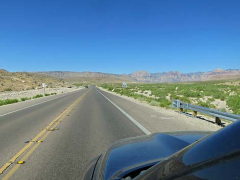
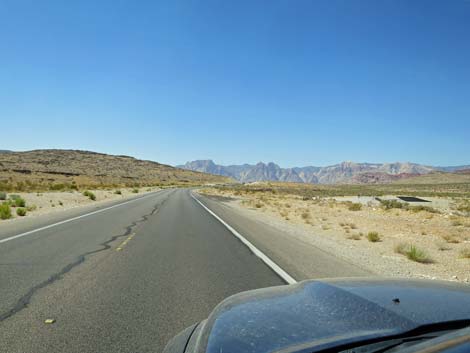
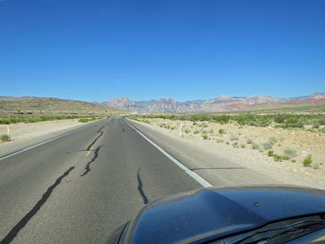 Red Rock Cliffs in the distance (view SW) |
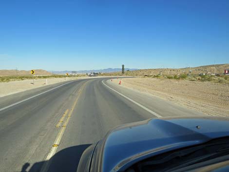
 West Charleston approaching Soaring Club Road (view SW) |
 West Charleston at Soaring Club Road (view SW) |
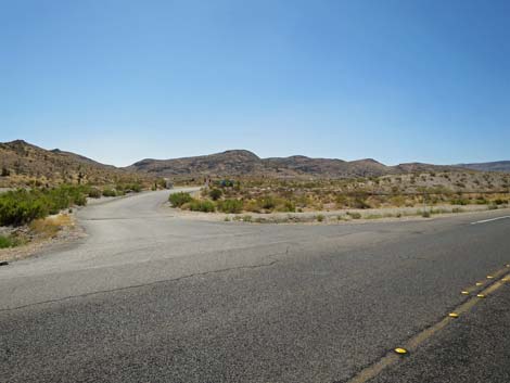
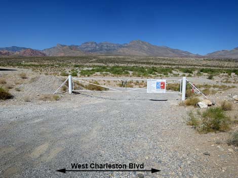 Soaring Club Road (view N from West Charleston Blvd) |
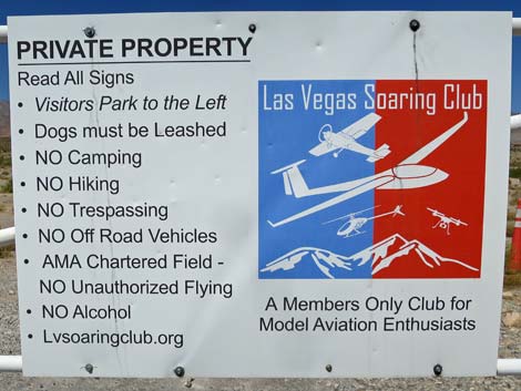 Sign: Las Vegas Soaring Club rules |
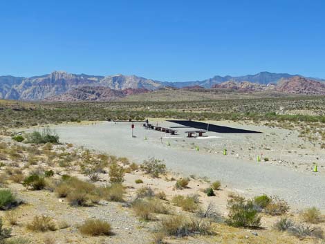 Las Vegas Soaring Club model aircraft airstrip (view W) |
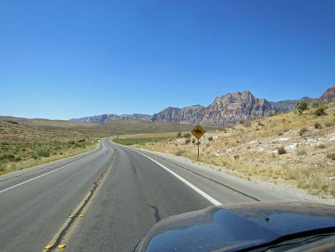
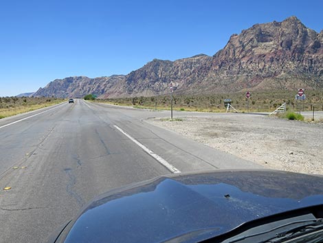
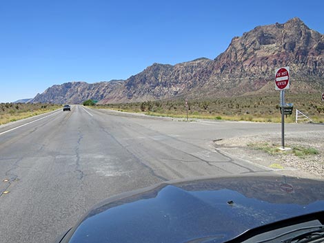
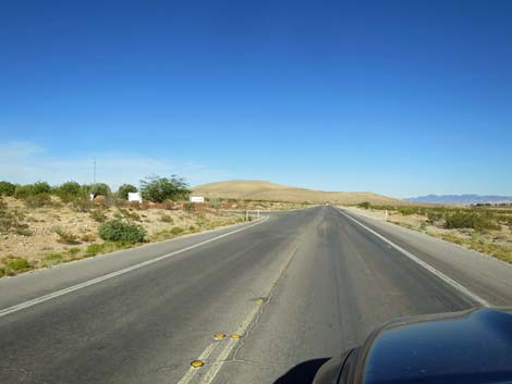
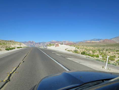 West Charleston approaching the northern photo-opp site (view SW) |
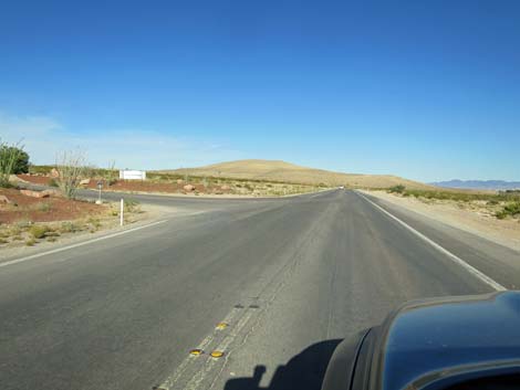
 West Charleston at the northern photo-opp site (view SW) |
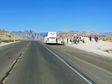
 Welcome to Red Rock Canyon NCA photo-opp site (view SW) |
 Red Rock Cliffs in the distance (view SW) |
 Sign: don't feed feral horses and feral burros $500 fine |
 Sign: Visitor Center 2 miles |
 Sign: BLM Fire Station to the left |
 West Charleston approaching Campground Road (view SW) |
 Campground Road (view S from West Charleston) |
 West Charleston approaching Calico Basin Road (view SW) |
 Sign: Calico Basin and Red Springs to the right (view SW) |
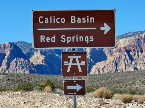 Sign: Calico Basin, Red Springs to the right (view W) |
 West Charleston approaching Calico Basin Road (view SW) |
 West Charleston at Calico Basin Road (view NW) |
 Calico Basin Road (view N from West Charleston Blvd) |
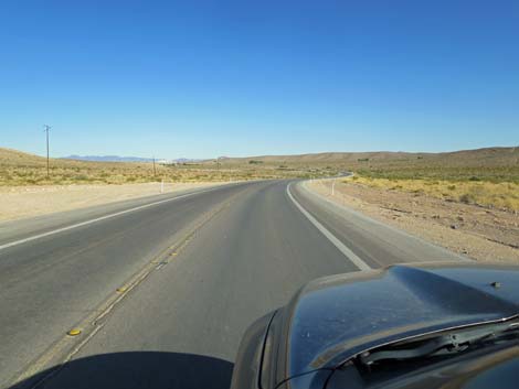
 West Charleston winding along Red Rock Wash (view SW) |
 West Charleston winding along Red Rock Wash (view SW) |
 Sign: BLM Visitor Center, Scenic Loop Road to the right |
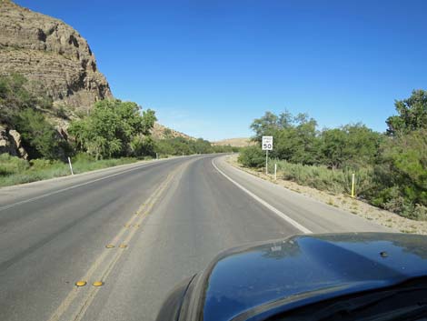
 Sign: Speed limit 50 mph |
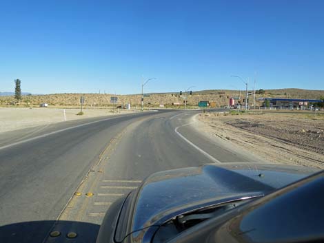
 West Charleston approaching Scenic Loop Road (view SW) |
 West Charleston at Scenic Loop Road exit (view SW) |
 West Charleston at Scenic Loop Road entrance (view SW) |
 Scenic Loop Road entrance (view NW from West Charleston) |
 Scenic Loop Road entrance sign (view NW) |
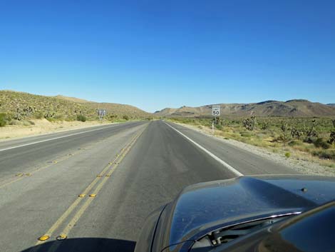
 Continuing west; sign: Speed limit 50 mph (view SW) |
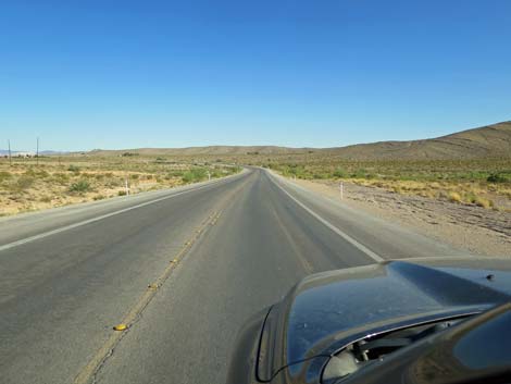
 West Charleston approaching a low rise (view SW) |
 West Charleston atop a low rise; first views southward (view SW) |
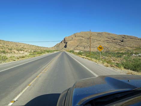
 Symbol Sign: Watch for Cowboys ahead |
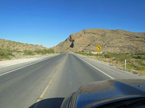
 West Charleston approaching Cowboy Trail Rides (view S) |
 West Charleston at Cowboy Trail Rides Road (view S) |
 West Charleston approaching a parking area (view SW) |
 Sign: Red Rock Overlook to the right |
 West Charleston along side Red Rock Overlook (view SW) |
 W Charleston approaching entrance to Red Rock Overlook (view SW) |
 West Charleston at Red Rock Overlook entrance (view SW) |
 West Charleston at Red Rock Overlook (view SW) |
 West Charleston at Red Rock Overlook entrance (view SW) |
 Sign: Spring Mtn Ranch 3, Bonnie Springs 4, Blue Diamond 6 |
 Grand scenery with Mt. Wilson and the Wilson Cliffs (view S) |
 West Charleston bends to the south (view S) |
 West Charleston approaching Exit Trailhead (view S) |
 West Charleston approaching entrance to Exit Trailhead (view S) |
 West Charleston at entrance to Exit Trailhead parking (view SW) |
 West Charleston approaching Scenic Loop Road Exit (view S) |
 West Charleston at Scenic Loop Road Exit (view S) |
 Sign: Spring Mtn Ranch 3, Bonnie Springs 4, Blue Diamond 6 |
 Sign: don't feed feral horses and feral burros $500 fine |
 West Charleston approaching Middle Oak Creek Trailhead |
 West Charleston at first Middle Oak Creek Trailhead (view S) |
 W Charleston approaching second Middle Oak Creek Trailhead |
 W Charleston approaching second Middle Oak Creek Trailhead |
 W Charleston at main Middle Oak Creek Trailhead (view S) |
 W Charleston at main Middle Oak Creek Trailhead (view S) |
 Approaching another low rise (view S) |
 Parking area long the road (view S) |
 Grand view down the valley (view S) |
 West Charleston approaching South Oak Creek Trailhead (view S) |
 West Charleston approaching South Oak Creek Trailhead (view S) |
 West Charleston at South Oak Creek Trailhead (view S) |
 West Charleston at South Oak Creek Trailhead (view W) |
 West Charleston approaching First Creek Trailhead (view S) |
 West Charleston approaching First Creek Trailhead sign (view S) |
 First Creek Trailhead sign (view S) |
 West Charleston (view S) |
 West Charleston approaching First Creek Trailhead (view S) |
 West Charleston at First Creek Trailhead (view S) |
 West Charleston at First Creek Trailhead (view S) |
 West Charleston at First Creek Trailhead (view S) |
 Sign: don't feed feral horses and feral burros $500 fine (view S) |
 Sign: Spring Mountain Ranch State Park 1/4 miles (view SE) |
 Sign: watch for feral horses and feral burros on the roadway |
 Sign: Spring Mountain Ranch State Park to the right (view SE) |
 Charleston at Spring Mountain Ranch State Park entrance (view SW) |
 Sign: Bonnie Springs 1, Blue Diamond 3, Highway 160 6 miles |
 Sign: Speed limit 50 mph (view SE) |
 Grand scenery (view SE) |
 West Charleston approaching Bonnie Springs (view SE) |
 West Charleston approaching Bonnie Springs (view SE) |
 Sign: Speed limit still 50 mph (view SE) |
 Grand scenery (view SE) |
 West Charleston approaching Oliver Ranch Road (view SE) |
 West Charleston at Oliver Ranch Road (view SE) |
 West Charleston approaching the southern photo-opp site (view SE) |
 West Charleston at the southern photo-opp site (view SE) |
 Red Rock Canyon photo-opp site (view SE) |
 Red Rock Canyon photo-opp site (view SE) |
 Sign: share the road with bicycles |
 Sign: don't feed feral horses and feral burros $500 fine (view S) |
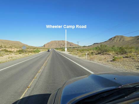 West Charleston approaching Wheeler Camp Spring (view SE) |
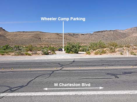 Wheeler Camp Spring Parking (view SW from West Charleston) |
 West Charleston at Blue Diamond Hill mine haul road (view SE) |
 West Charleston approaching Blue Diamond Town (view SE) |
 West Charleston approaching Blue Diamond Town (view SE) |
 West Charleston approaching Blue Diamond access road (view SE) |
 Sign: fire station ahead (view SE) |
 Sign: Blue Diamond Town to the right (view SE) |
 West Charleston approaching entrance to Blue Diamond (view SE) |
 West Charleston at Castalia Street (Blue Diamond Road; view SE) |
 Sign: watch for feral animals on the road (view SE) |
 Sign: Caution -- 50 mph curve ahead |
 Entering the narrows |
 Approaching southern Blue Diamond access (Arroyo Rd; view E) |
 Cottonwood trees in the narrows (view NE) Cottonwood trees in the narrows (view NE) |
 West Charleston beyond the narrows (view E) |
 West Charleston approaching Gypsum Plant Road (view E) |
 West Charleston at Gypsum Plant Road (view E) |
 Big, open landscape (view SE) |
 West Charleston crossing Cottonwood Wash (view SE) |
 West Charleston approaching Cactus Joe's Nursery (view SE) |
 West Charleston approaching Avery Road (view SE) |
 West Charleston at Avery Road (view SE) |
 West Charleston (view SE) |
 West Charleston (view SE) |
 West Charleston approaching Highway 160 (view SE) |
 West Charleston approaching Highway 160 (view S) |
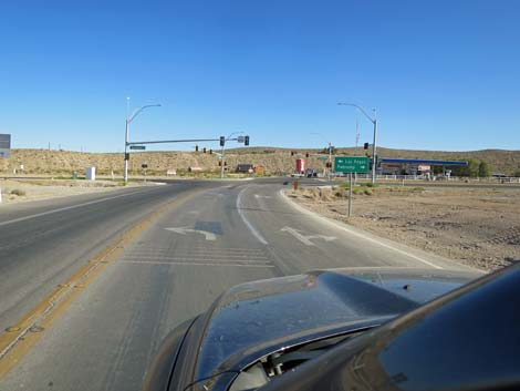 Sign at Highway 160: left to Las Vegas, right to Pahrump (view S) |
 West Charleston at Highway 160 (view S to gas station) |
 More to come ... |
Table 1. Highway Coordinates based on GPS data (NAD27; UTM Zone 11S). Download Highway GPS Waypoints (*.gpx) file.
| Wpt. | Location | Latitude (N) | Longitude (W) | Elevation (ft) | Point-to-Point Distance (mi) | Cumulative Distance (mi) |
|---|---|---|---|---|---|---|
| 0516 | W Charleston at Hwy 215 | 36.15889 | 115.33638 | 3,070 | 0.00 | 00.0 |
| 0995 | Hwy 159 at Red Rock Camp Rd | 36.14394 | 115.39027 | 3,404 | 1.93 | 01.9 |
| 0520 | Hwy 159 at Calico Basin Rd | 36.14165 | 115.39863 | 3,506 | 0.50 | 02.4 |
| 0519 | Hwy 159 at Scenic Loop Rd Enter | 36.13170 | 115.42062 | 3,681 | 1.43 | 03.9 |
| 0521 | Hwy 159 at Cowboy Trail rides Rd | 36.12154 | 115.43317 | 3,764 | 1.04 | 04.9 |
| 1525 | Hwy 159 at Red Rock Overlook | 36.11667 | 115.44410 | 3,872 | 0.70 | 05.6 |
| 0532 | Hwy 159 at Scenic Loop Rd Exit | 36.11116 | 115.44850 | 3,846 | 0.47 | 06.1 |
| 1037 | Hwy 159 at Middle Oak Cr TH | 36.10203 | 115.44903 | 3,834 | 0.63 | 06.7 |
| 0894 | Hwy 159 at South Oak Creek Trailhead | 36.08957 | 115.44835 | 3,757 | 0.86 | 07.6 |
| 0518 | Hwy 159 at First Creek Trailhead | 36.08130 | 115.44720 | 3,661 | 0.57 | 08.1 |
| 0673 | Hwy 159 at Spring Mtn Ranch Rd | 36.07379 | 115.44288 | 3,600 | 0.58 | 08.7 |
| 1345 | Hwy 159 at Bonnie Springs Road | 36.06579 | 115.43470 | 3,539 | 0.71 | 09.4 |
| 1343 | Hwy 159 at Wheeler Camp Road | 36.05525 | 115.41788 | 3,506 | 1.20 | 10.6 |
| 1344 | Hwy 159 at Blue Diamond Road | 36.05089 | 115.40473 | 3,457 | 0.80 | 11.4 |
| 0848 | Hwy 160 at Blue Diamond Rd | 36.03498 | 115.35801 | 3,169 | 3.03 | 14.5 |
Happy Hiking! All distances, elevations, and other facts are approximate.
![]() ; Last updated 250625
; Last updated 250625
| Backroads | Hiking Around Las Vegas | Glossary | Copyright, Conditions, Disclaimer | Home |