Hiking Around Las Vegas, Red Rock Canyon National Conservation Area
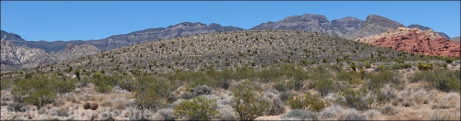
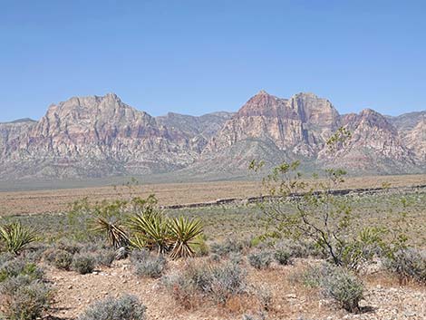
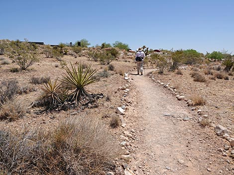
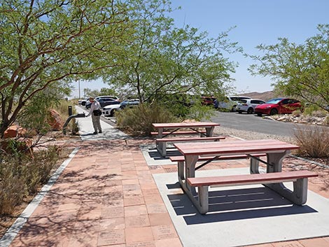
 Moenkopi Trail starts in the visitor center picnic area (view W) |
Overview The Moenkopi Hill Loop Trail is a pleasant 2.1-mile trail that runs out from the Visitor Center to the summit of Moenkopi Hill and back. The trail traverses a variety of habitat types and rarely goes straight when it has the opportunity to wind around. The scenery is spectacular in all directions, and signs along the trail explain the geologic history and fire history of the area. Some older guidebooks suggest that this is a good place to find fossils, but I found few. Link to map or elevation profile. Link to BLM Georeference PDF map file. |
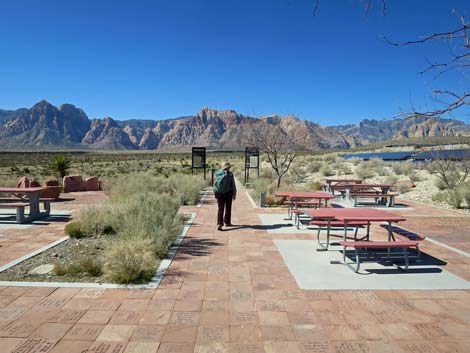
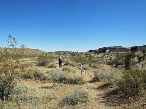
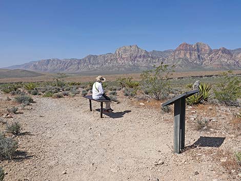
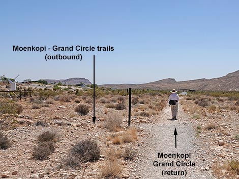
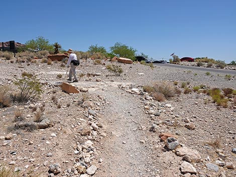
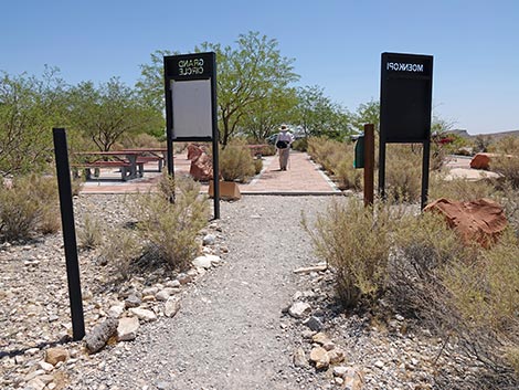
 Hiker at the Moenkopi and Grand Circle trailheads (view W) |
Watch Out Other than the standard warnings about hiking in the desert, ...this is a safe hike, even for kids. There are some places along the edge of the summit where you could jump off and get hurt if you tried, but the trail is safe. Most of the trail is well groomed, relatively free of rocks, and makes for easy walking. While hiking, please respect the land and the other people out there, and try to Leave No Trace of your passage. Also, even though this hike is short, be sure to bring what you need of the 10 Essentials. |
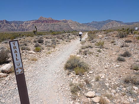
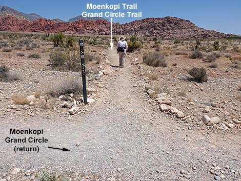
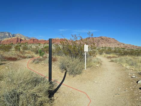
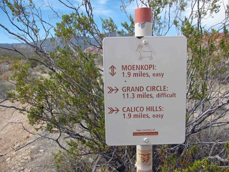
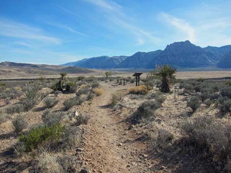
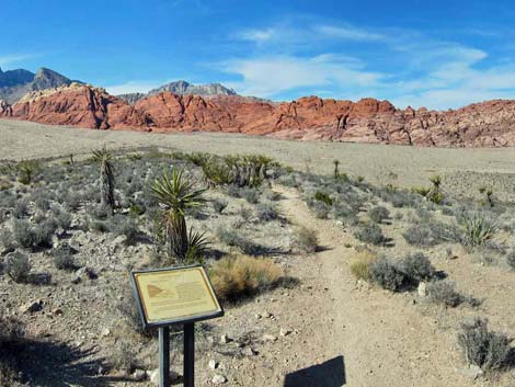
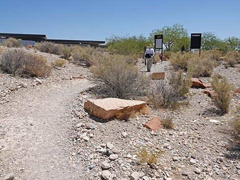
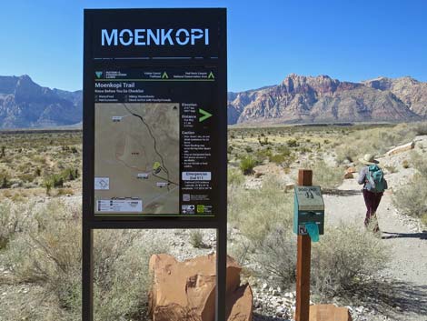 Moenkopi trailhead sign with map and info (view W) |
Getting to the Trailhead This hike is located along the Scenic Loop Road in Red Rock Canyon National Conservation Area, about 30 minutes west of Las Vegas. Drive out to Red Rocks, pay the fee, then drive up to the Visitor Center Trailhead. Park here; this is the trailhead. The Moenkopi and Grand Circle trails start at the northwest corner of the parking area near the Visitor Center building. |
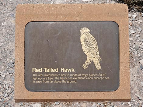 Information about Red-tailed Hawks (view down) |
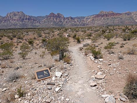
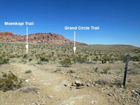
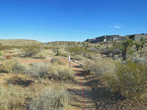
The Hike From the Visitor Center Trailhead (Table 1, Waypoint 01), which is just past several picnic tables, a memorial, and information signs, the trail runs southwest down the gentle grade to a trail junction where it merges with an old road (Wpt. 02). The trail bends right and runs northwest along the old road for about 70 yards. Just past the weather station (on the right), the trail reaches another junction (Wpt. 03). Here (Wpt. 03), the Moenkopi and Grand Circle trails turn right and run north out around the west side of the Visitor Center complex. The vegetation along here is dominated by low-growing, widely spaced creosote bush, some red brome grass, and few other species. The trail runs north past the Visitor Center, then drops into a wash. In the wash, notice the difference that a little extra water makes in the desert. Here the creosote and grass are fairly dense and robust compared to those growing on the flats above. |
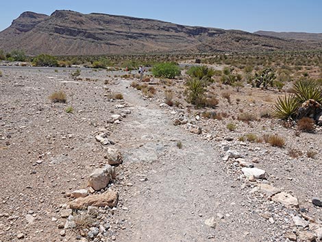
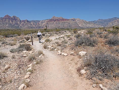
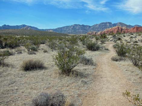
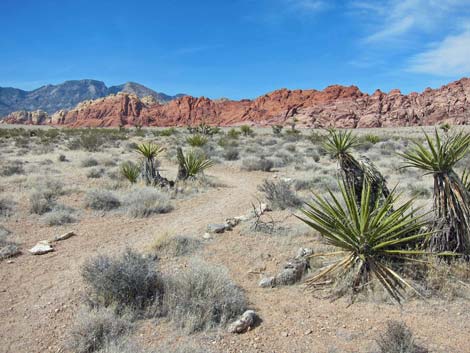
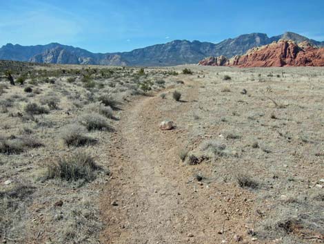
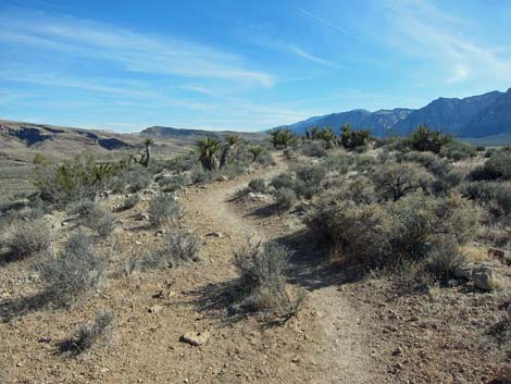
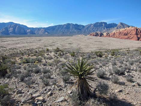
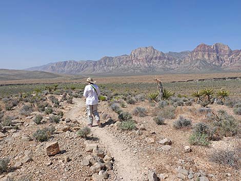
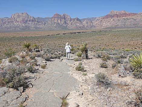
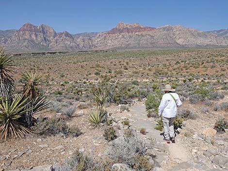
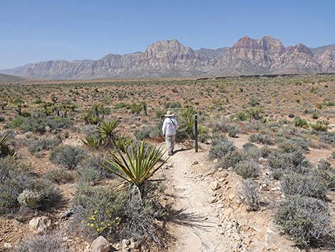
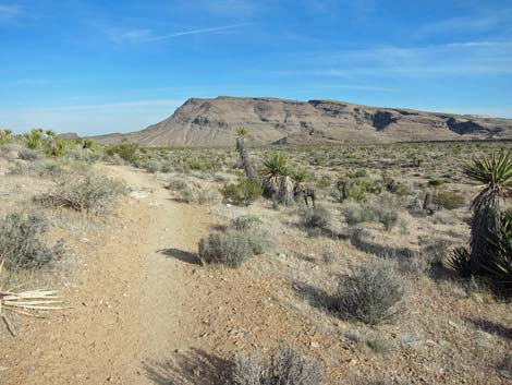
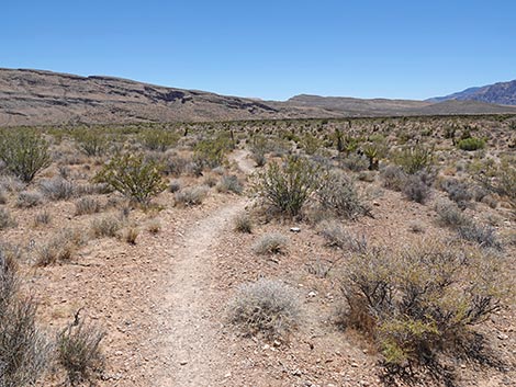
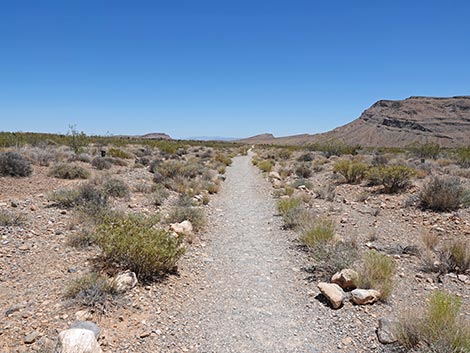
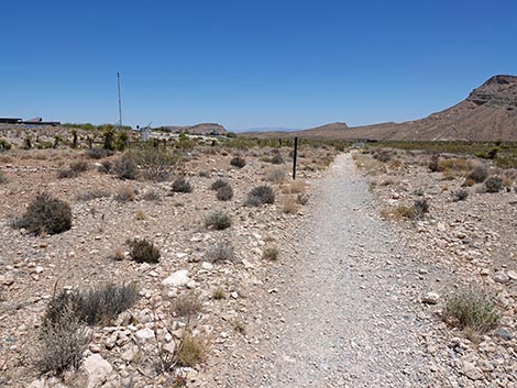
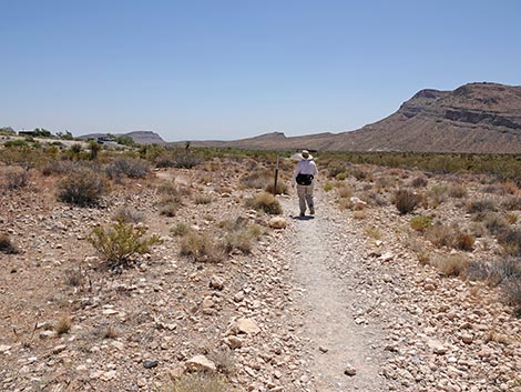
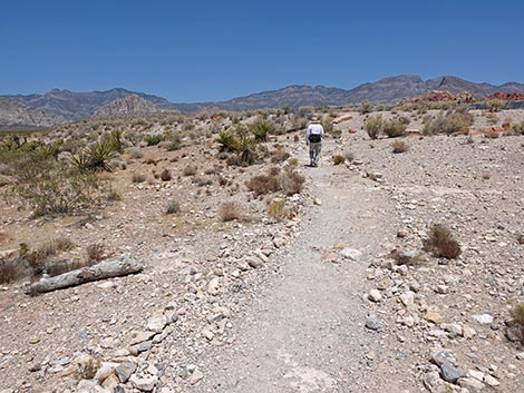
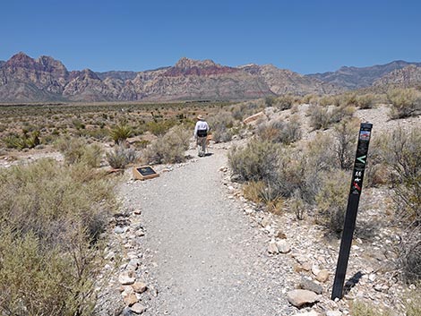 The trail starts into the desert (view W) |
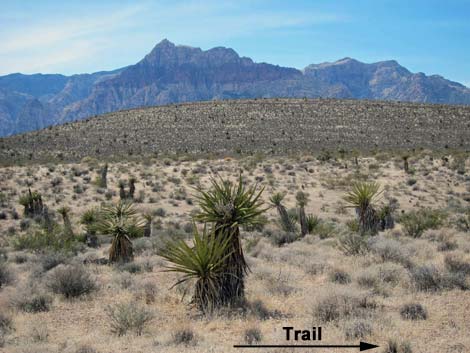
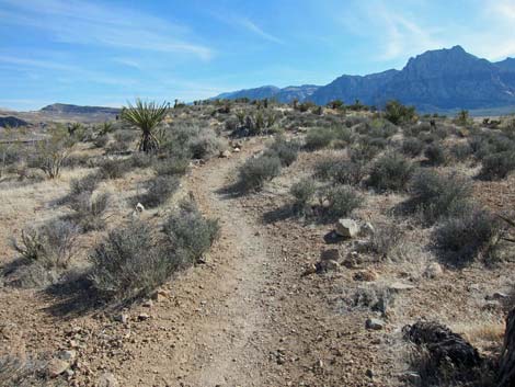
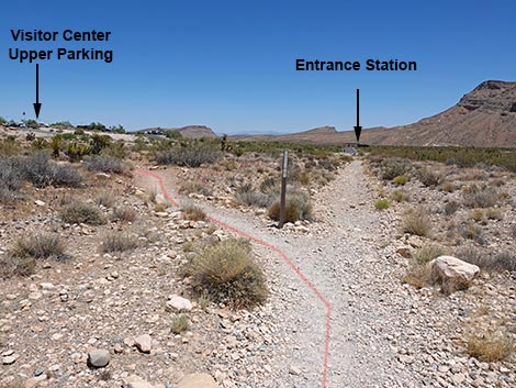
Just across the wash (Wpt. 04), the Moenkopi Trail reaches yet another trail junction. Here, the Moenkopi Trail turns left, while the Grand Circle Trail (connecting to the Calico Hills Trail and other short Visitor Center Area Trails) continues straight. The Moenkopi Trail runs north and up the bajada staying on a low ridge. On this part of the trail, the shrubby vegetation is diverse and dominated by creosote bush, Mojave yucca, and blackbrush. Other common species include composite shrubs, four-wing saltbush, Nevada ephedra, strawberry hedgehog cactus, spiny menodora, desert trumpet, white bursage, and more red brome grass. The trail winds along with grand views in all directions. About 5 to 10 minutes past the trail junction, there is a sign about the formation for the Calico Hills, explaining that they were sand dunes some 180 million years ago. Note that to the west, left of the trail, Moenkopi Hill can be seen rising from the desert flats. |
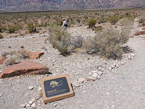 Before trail switchbacks left, info sign on the ground (view W) |
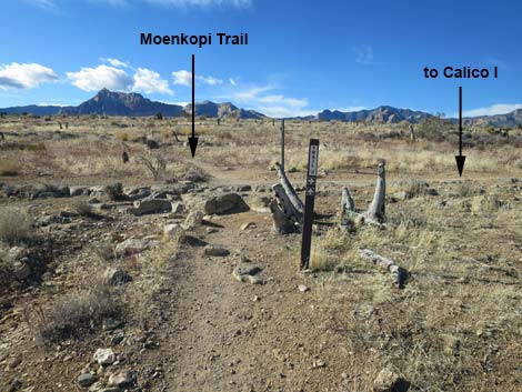
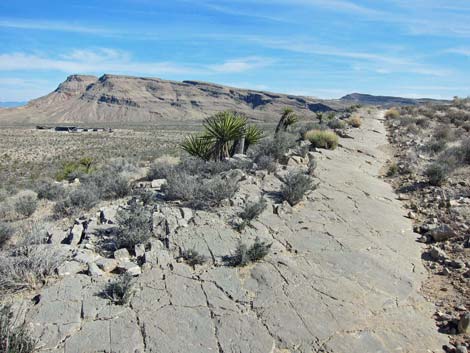
From the information sign, the trail generally runs north-northwest until it is well past (north of) the summit of Moenkopi Hill. The trail then begins a big arc to the northwest. The trail eventually reaches a trail junction (Wpt. 05) where the Moenkopi Trail stays left and the trail to the right leads to the Calico I parking area, 0.45 miles to the north. From the junction, the Moenkopi Trail runs southwest and then south, climbing onto Moenkopi Ridge. Part of the trail runs on a limestone outcrop that makes for a smooth trail with interesting patterns and a few fossils. A sign along the ridge explains that the limestone was formed in a shallow sea some 230 million years ago. Outcrops like this are where I look for fossils, but I saw very little fossiliferous material here. Look for white inclusions in the gray limestone. The vegetation on the summit is largely blackbrush, but there are some nice California Barrel Cactus and Engelmann's Hedgehog Cactus along the rocky outcrop. |
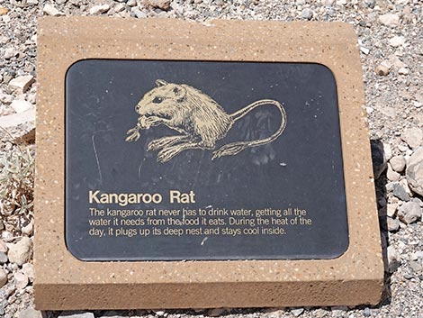 Information about Kangaroo Rats (view down) |
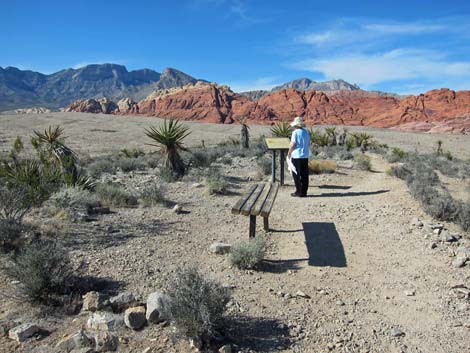
Continue south and staying on the ridgeline, the trail reaches the summit (Wpt. 06). On the summit, a park bench invites hikers can sit, relax, and enjoy the great views in all directions. To the south lies Blue Diamond Hill with its short, deep limestone canyons and a plethora of trails. To the west is the towering red and white sandstone escarpment (Wilson Cliffs), and to the east are the brilliantly red and white Calico Hills. To the north is the La Madre Range with imposing gray limestone cliffs. Interestingly, the sandstone is about 180 million years old (Age of Dinosaurs) while the limestone is about 230 million years old; yet the older limestone sits atop the younger sandstone. A sign on the summit explains this odd positioning, and there are nice exhibits on the local geology in the Visitor Center. With knowledge of the geology, the Keystone Trail makes for another interesting hike. |
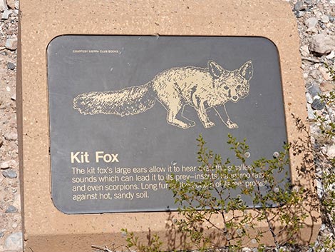 Information about Kit Foxes (view down) |
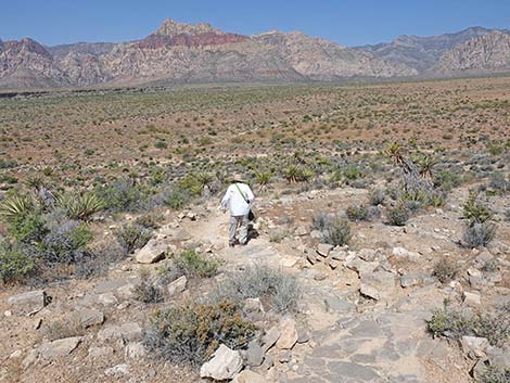
From the summit, the trail continues south down the ridge, eventually circling down and around the hillside to the northwest. The Moenkopi Trail then bends south and runs down into the wash at the bottom of the hill. Overall, the trail is well groomed and easy to walk on everywhere except the west side of the hill, where it is a bit rocky and fairly steep. In the broad, shallow wash at the bottom of the hill, the vegetation changes again, now more diverse, more dense, and more robust. Here, the shrubby vegetation includes the species seen elsewhere, but also includes desert almond, honey mesquite with mistletoe, and desert willow, species that indicate the presence of underground water. The trail runs down the gravel wash to another trail junction on an old road where it merges with the other end of the Grand Circle Trail (Wpt. 07). The Moenkopi Trail turns left and runs southeast with the Grand Circle Trail following the old road back towards the Visitor Center, which is visible in the distance. The trail eventually leaves the old road (Wpt. 02) and winds back up the gentle hillside to the trailhead (Wpt. 01). |
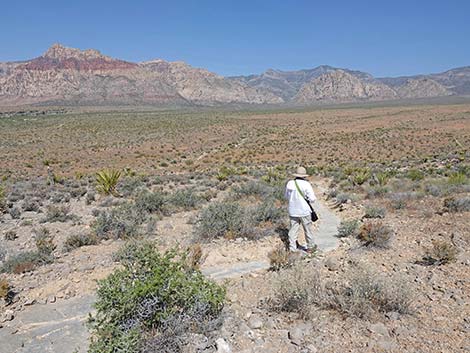
 The trail switchbacks down the hillside (view SE) |
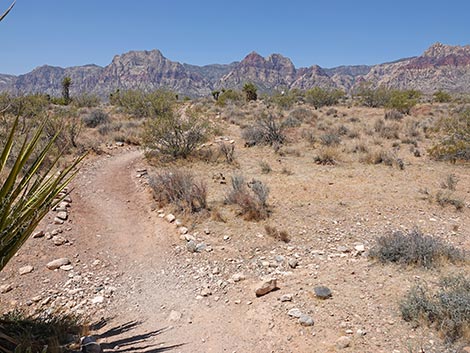
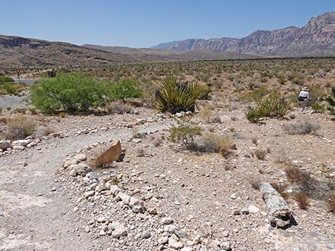 As trail curves right, information sign on the ground (view S) |
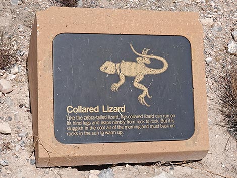 Information about Collared Lizards (view down) |
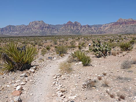 The trail switchbacks to the right (view SW) |
 Another information sign on the ground (view SW) |
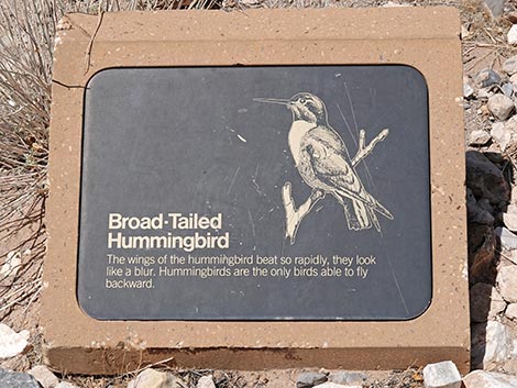 Information about Broad-tailed Hummingbirds (view down) |
 The trail crosses a shallow gully (view SW) |
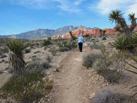
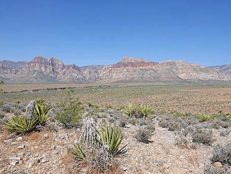
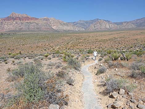
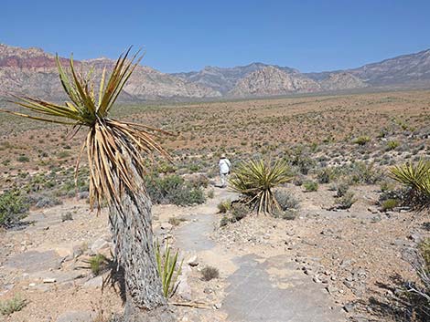
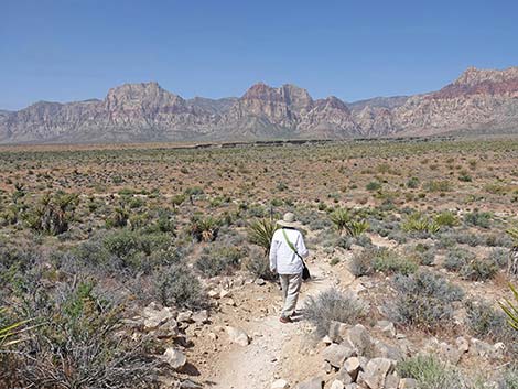
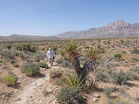
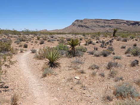
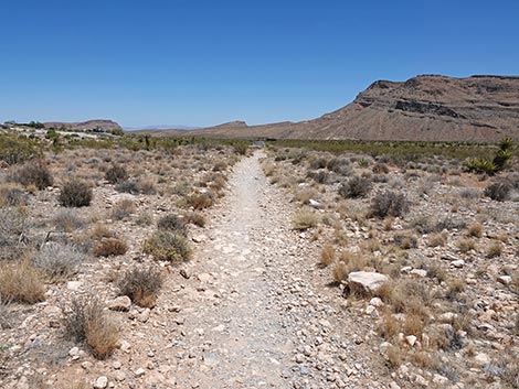
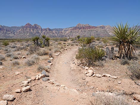 Well defined trail and Mojave Yucca (view W) |
 Hikers at a trail junction (view W) |
 Moenkopi Trail merges onto old dirt road (view NW) |
 Moenkopi Trail runs out past the weather station (view NW) |
 Passing the weather Station (view N) |
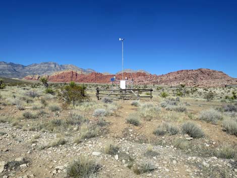
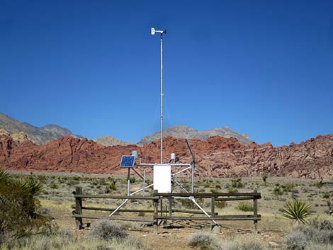 Weather Station (view N) |
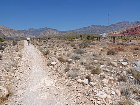
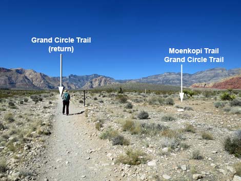 Past weather station, hiker approaches trail junction (view NW) |
 Hiker turning right at trail junction (view NW) |
 Hiker turning toward red Calico Hills (view N) |
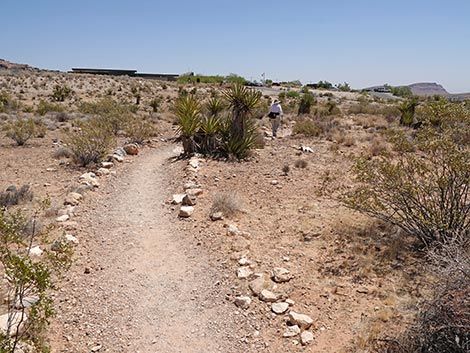
 The trail heads out along-side the visitor center (view N) |
 Moenkopi and Grand Circle trails diverge on the hillside (view NE |
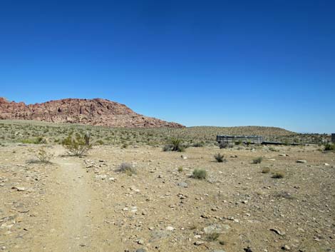
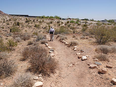
 Trail eventually wraps around behind the visitor center (view E) |
 Approaching trail junction; turn left (view E) |
 Trail junction; turn left (view E) |
 Trail junction sign (view E) |
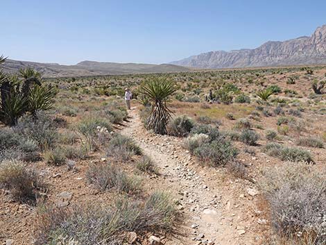
 The trail heads north (view N) |
 Slight incline (view N) |
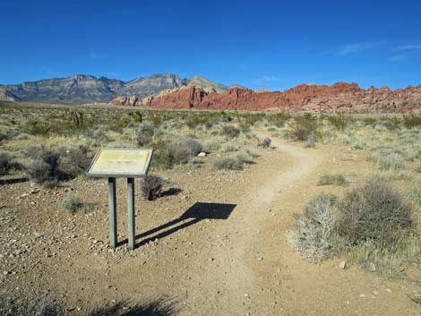 Approaching an information sign about Prehistoric Sand Dunes |
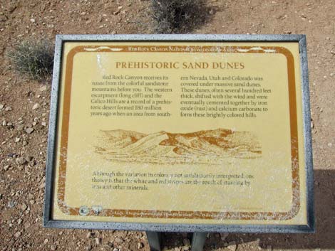 Information sign along the trail |
 The landscape levels out (view N) |
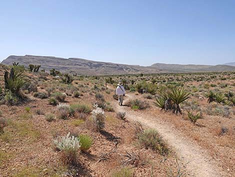
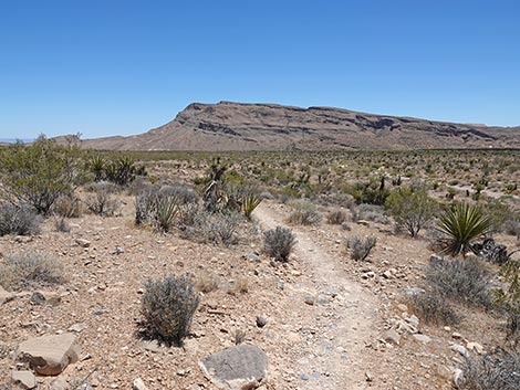
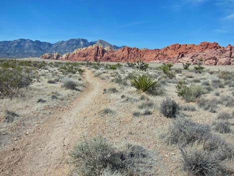 Heading towards the Calico Hills (view N) |
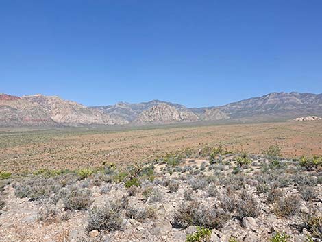
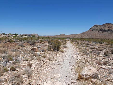
 Trail runs parallel to Moenkopi Ridge (view W) |
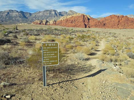
 The trail became a fireline in 2005 (view N) |
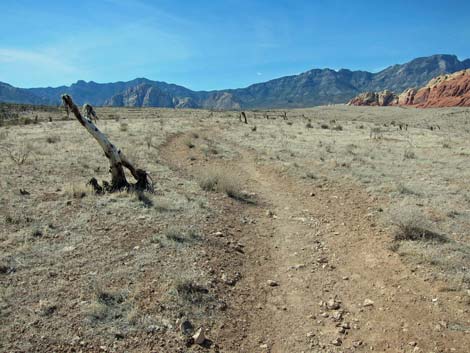 The fireline didn't stop the fire here (view N) |
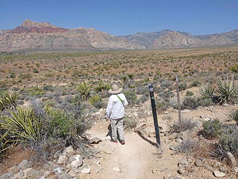
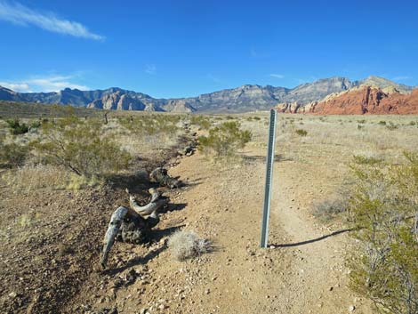 Unused sign post along the trail (view N) |
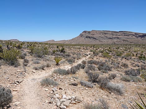
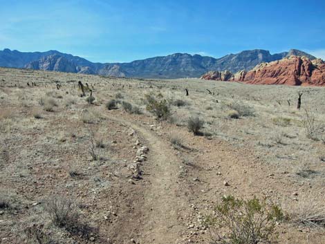 Still heading north (view N) |
 Approaching a trail junction; stay left (view NW) |
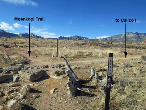 Trail junction sign; Moenkopi Trail stays left (view N) |
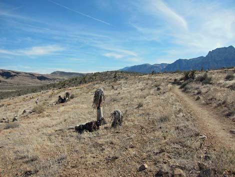 Still angling up across the side of Moenkopi Ridge (view SW) |
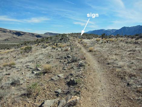 Approaching the back of a sign (view SW) |
 Looking back to read the sign (half is missing; view N) |
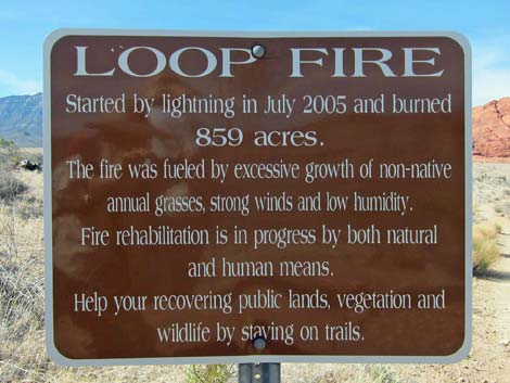 Original Loop Fire sign: 859 acres burned (view N) |
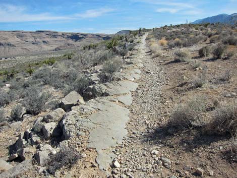 The trail follows a limestone outcrop (view S) |
 Approaching an information sign (view S) |
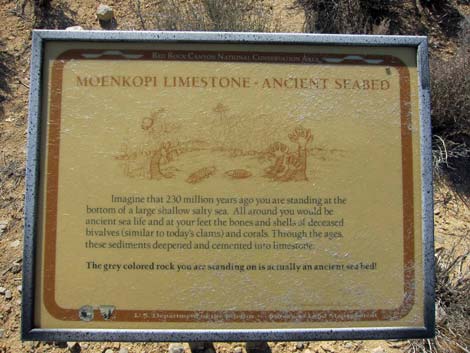 Sign: Moenkopi Limestone -- an ancient seabed |
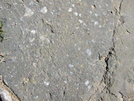 Some of the white flecks are fossils |
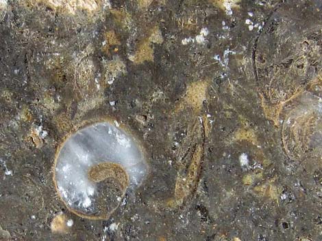 Snail shell and other fossils in the limestone |
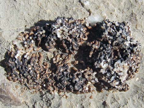 Coral fossil eroding out of the limestone |
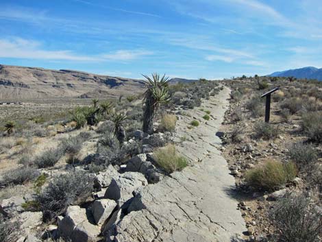
 The Moenkopi Limestone outcrop continues along the ridge (view S) |
 Trail climbs onto the crest of the ridge (view SW) |
 Approaching the highest point of Moenkopi Ridge (view S) |
 The top of Moenkopi Ridge (view S) |
 Bench and information sign on the top (view N) |
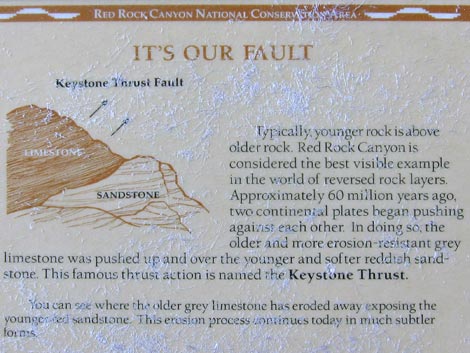 information sign: fault lines |
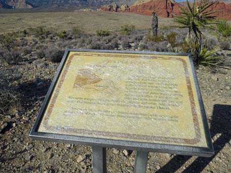 The sign is getting hard to read |
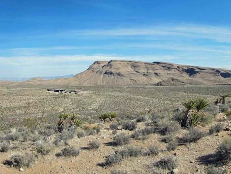 Grand view: Visitor Center in the middle distance (view SE) |
 Grand view: La Madre Ridge in the distance (view N) |
 Grand view: Calico Hills in the middle distance (view NE) |
 Grand view: White Rock Hills and La Madre Mountains (view NW) |
 Grand view: Wilson [Red Rock] Cliffs (view W) |
 Grand view: Wilson [Red Rock] Cliffs (view W) |
 Hiker on bench enjoying the view (view SW) |
 Hiker departing the summit (view S) |
 The trail runs down the ridgeline (view SW) |
 Continuing down the ridgeline (view SW) |
 Trail runs on a band of Moenkopi Limestone (view W) |
 The trail starts angling off the crest of the ridge (view SW) |
 Interesting band of Moenkopi Limestone just below soil surface |
 Continuing down across the hillside (view NW) |
 |
 |
 Passing a trail sign and a closed trail (view W) |
 The trail continues down across the hillside (view NW) |
 Hiker arriving at the bottom of the hill (view W) |
 Trail follows the base of the hill (view SW) |
 |
 |
 |
 |
 |
 |
 Back down on the desert flats (view S) |
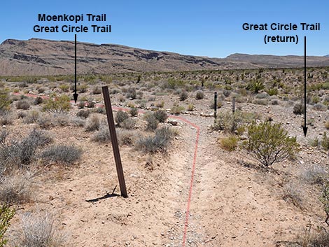 Approaching junction with Grand Circle Trail; stay left (view S) |
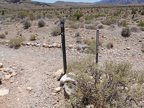 Signs at junction with Grand Circle Trail (view S) |
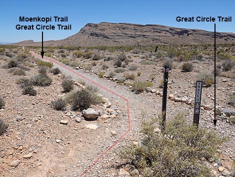 Moenkopi Trail merges with Grand Circle Trail (view SE) |
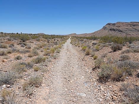
 This old-road trail heads back towards the Visitor Center (view E) |
 Moenkopi - Grand Circle Trail (view E) |
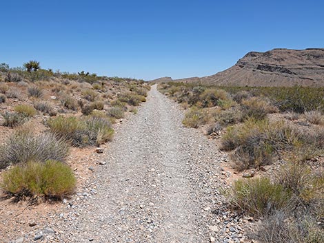 Moenkopi - Grand Circle Trail (view E) |
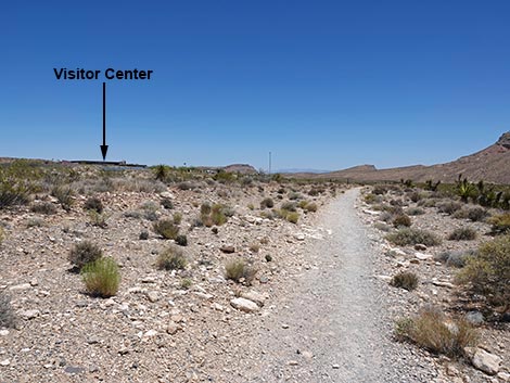 Visitor Center comes into view (view E) |
 Moenkopi - Grand Circle Trail approaching a trail junction (view E) |
 Passing the trail junction near the weather station (view E) |
 Moenkopi - Grand Circle Trail (view E) |
 Moenkopi - Grand Circle Trail nearing the Visitor Center (view E) |
 Hiker approaching the last trail junction (view E) |
 Final trail junction: stay left to Visitor Center (view E) |
 Hiker continuing past the trail junction (view NE) |
 Moenkopi Trail approaching the Visitor Center (view NE) |
 Moenkopi Trail approaching the Visitor Center (view NE) |
 Moenkopi Trail switchbacks to the left (view NE) |
 Hiker approaching the second switchback (view N) |
 Moenkopi Trail approaching the trailhead (view NE) |
 Moenkopi Trail returning to the trailhead (view E) |
 The trail ends back in the picnic area (view E) |
Table 1. Hiking Coordinates and Distances based on GPS Data (NAD27; UTM Zone 11S). Download Hiking GPS Waypoints (*.gpx) file.
| Wpt. | Location | UTM Easting | UTM Northing | Elevation (ft) | Point-to-Point Distance (mi) | Cumulative Distance (mi) |
|---|---|---|---|---|---|---|
| 01 | Moenkopi Trailhead | 641502 | 3999882 | 3,780 | 0.00 | 0.00 |
| 02 | Trail Junction, Old Road | 641376 | 3999811 | 3,773 | 0.14 | 0.14 |
| 03 | Trail Junction, Grand Circle | 641319 | 3999833 | 3,743 | 0.04 | 0.18 |
| 04 | Trail Junction, Grand Circle | 641402 | 3999997 | 3,732 | 0.13 | 0.31 |
| 05 | Trail Junction, Calico I | 640896 | 4000740 | 3,910 | 0.62 | 0.93 |
| 06 | Summit | 640810 | 4000336 | 3,956 | 0.29 | 1.22 |
| 07 | Trail Junction, Grand Circle | 640904 | 3999955 | 3,780 | 0.49 | 1.71 |
| 03 | Trail Junction, Grand Circle | 641319 | 3999833 | 3,743 | 0.27 | 1.98 |
| 02 | Trail Junction, Old Road | 641376 | 3999811 | 3,773 | 0.04 | 2.02 |
| 01 | Moenkopi Trailhead | 641502 | 3999882 | 3,780 | 0.13 | 2.15 |
Happy Hiking! All distances, elevations, and other facts are approximate.
![]() ; Last updated 250619
; Last updated 250619
| Hiking Around Red Rocks | Hiking Around Las Vegas | Glossary | Copyright, Conditions, Disclaimer | Home |