Hiking Around Las Vegas, Red Rock Canyon National Conservation Area
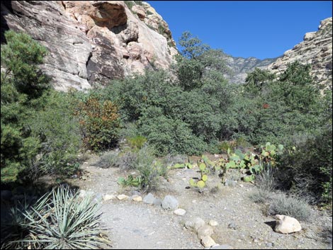
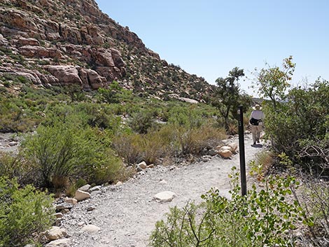
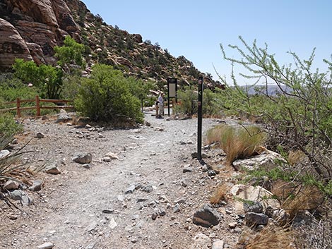
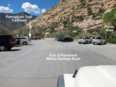 Petroglyph Wall Trailhead parking (view NW from end of pavement) |
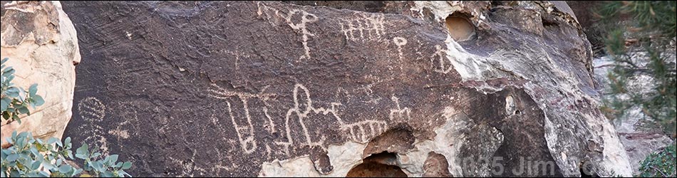
Overview The Petroglyph Wall Trail is a short walk from the Willow Springs Picnic Area to an archeological site at the base of the cliffs just across Red Rock Wash. The trail is too short (0.15 miles) to call it a hike, but it is an interesting place to visit. For people driving the Scenic Loop Road, this makes a nice place to stop, stretch your legs, and spend a few minutes walking in the desert. There is much more rock art hanging on the walls of Red Rock Canyon, but you'll have to search for it. While looking about, notice that the cliffs on both sides of the canyon are in designated wilderness area: the Rainbow Mountain Wilderness Area behind the petroglyphs, and the La Madre Mountain Wilderness Area on the other side of the canyon. This site includes petroglyphs (artwork pecked into the rock) and pictographs (paintings). Collectively, some Native People prefer to use the phrase "rock stories" because these symbols are a form of writing rather than just artwork. Link to map. Link to BLM Georeference PDF map file. |
 Petroglyph Wall Trailhead parking (view NW) |
Watch Out Other than the standard warnings about hiking in the desert, ...this is a pretty safe hike, but it is not what one would call an accessible trail. Please respect the Native American sites and don't deface them; they are part of the history of this land, and when they are gone, they are gone forever. While hiking, please respect the land and the other people out there, and try to Leave No Trace of your passage. Also, even though this is a short hike, be sure to bring what you need of the 10 Essentials. |
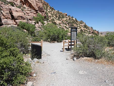
 Petroglyph Wall Trailhead (view NW) |
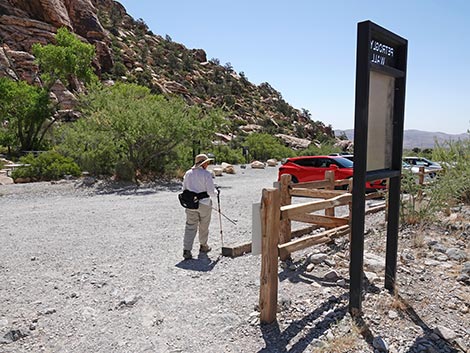
Getting to the Trailhead This hike is located along the Scenic Loop Road in Red Rock Canyon National Conservation Area, about 45 minutes west of Las Vegas. Drive out to Red Rocks, pay the fee, and then drive about half-way around the Scenic Loop Road to Willow Springs Road. Turn right and drive north 0.6 miles to the end of the pavement at the Willow Springs Trailhead. Park here; this is the trailhead.
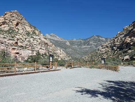
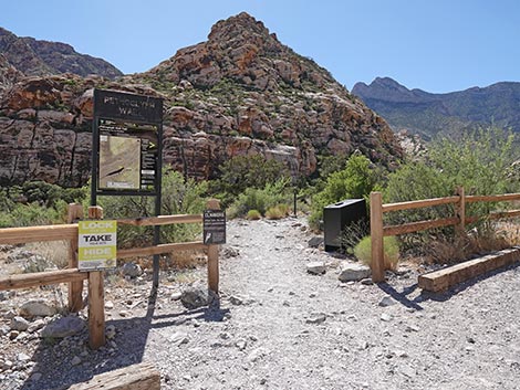
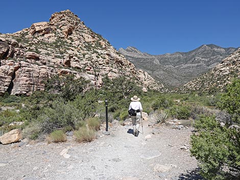
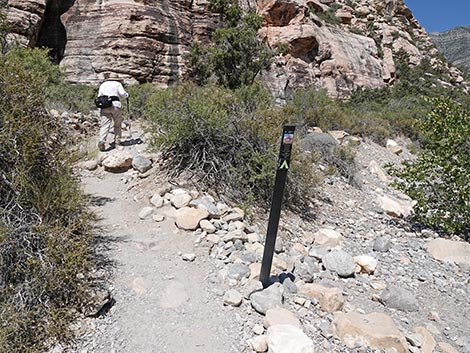
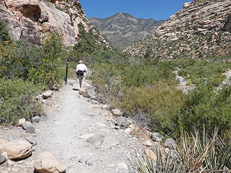
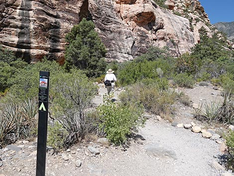
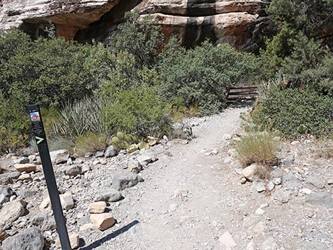
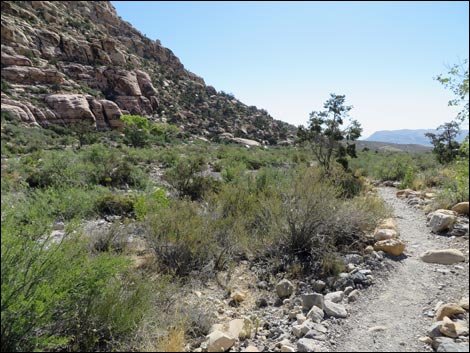
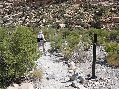
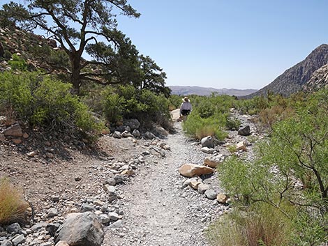
The Hike Just past the end of the pavement, but before the dirt turn-around loop, a sign on the left (west) side of the dirt parking area marks the start of the trail. From the trailhead (Table 1, Waypoint 01), the trail runs northwest past several singleleaf pinyon pines towards Red Rock Wash, staying to the left of the pole fence that borders the dirt turn-around loop. |
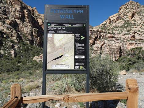 Petroglyph Wall Trail sign (view W) |
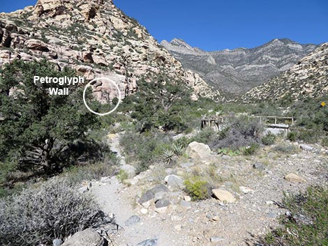
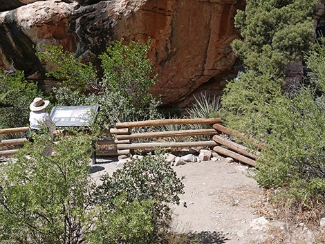
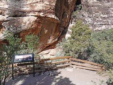
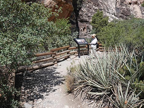
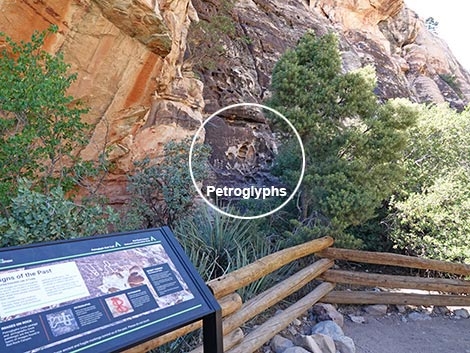
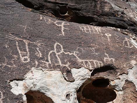
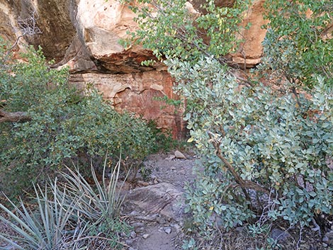
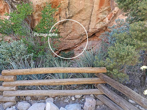
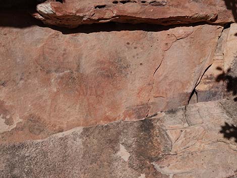
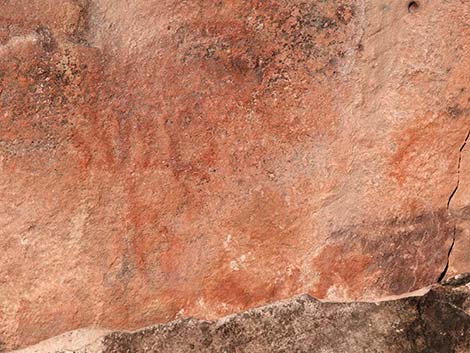
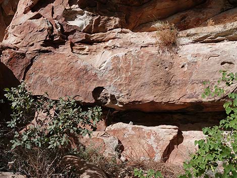
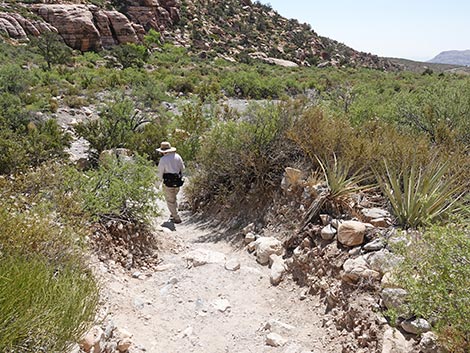
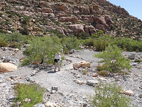
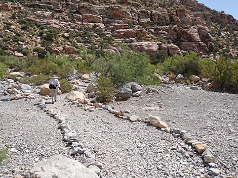
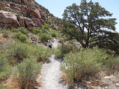
At the edge of the wash, the trail switchbacks to the southwest and drops into the wash. Across the wash, the trail bends back to the northwest and climbs out of the wash on a well-defined trail. A few yards farther, the trail ends at a pole fence (Wpt. 02) that blocks access to the base of the cliff. The rock stories are on the rock wall behind the fence. A sign provides information about the petroglyphs (to the right on the open rock face) and the pictographs (to the left under the overhang). When ready, follow your footprints back to the trailhead. |
 Hiker departing the trailhead (view W) |
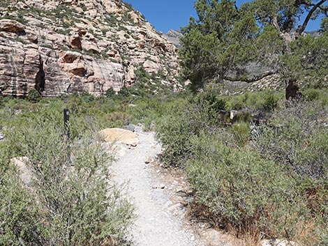
 Petroglyph Wall Trail (view W from just beyond trailhead) |
 Trail drops to pass right of a pinyon pine tree (view NW) |
 Trail bends to pass left of a second pinyon pine tree (view NW) |
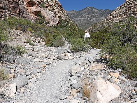
 Trail bends up-canyon (view N) |
 Trail bends hard to the left (view NW) |
 Trail turns downstream (view SW) |
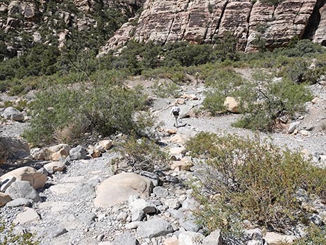 Hiker down in the wash (view W) |
 Hiker across the wash (view W) |
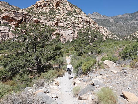
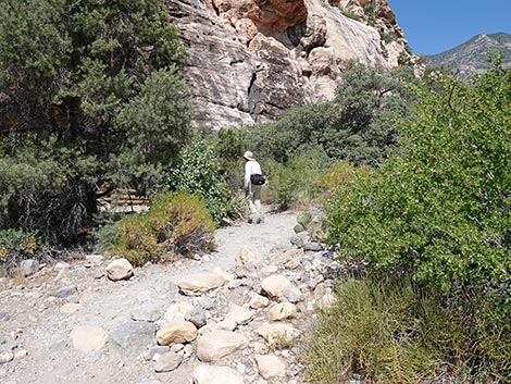
 Trail turns upstream and begins to climb out of the wash (view NW) |
 Hiker on a short bit of steep, rocky trail (view NW) |
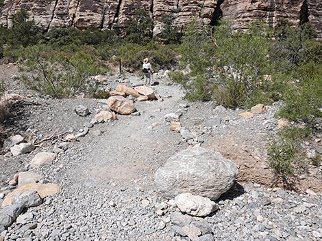
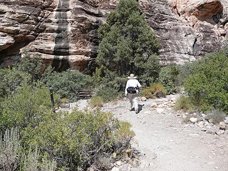
 Trail climbs onto a low bench above the wash (view NW) |
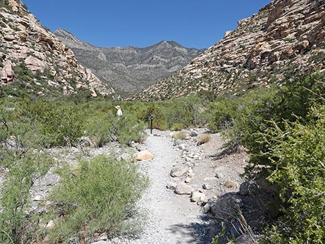
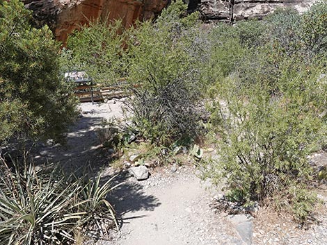
 Approaching Petroglyph Wall (view NW) |
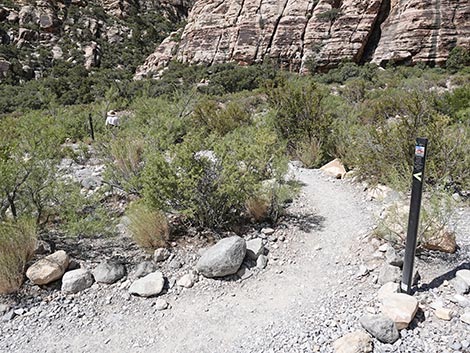
 Trail forks to make a loop just before Petroglyph Wall (view NW) |
 Hiker staying right on the loop (view NW) |
 Loop bends to the left (view NW) |
 Loop ends at the Petroglyph Wall (view W) |
 End of trail (view NW towards petroglyphs) |
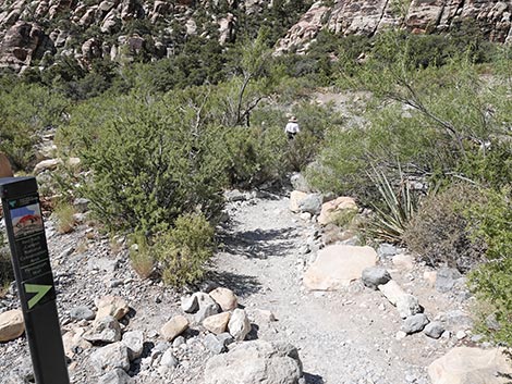
 Back at the fork, hikers can stay left (view W) |
 Trail winds around bushes (view W) |
 Trail ends at Petroglyph Wall (view NW) |
 More to come ... |
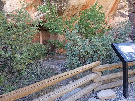
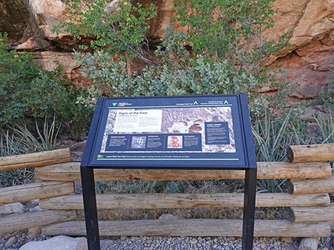 Information sign at end of trail (view W) |
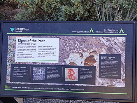 Information sign: Signs of the Past |
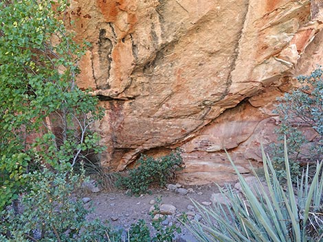
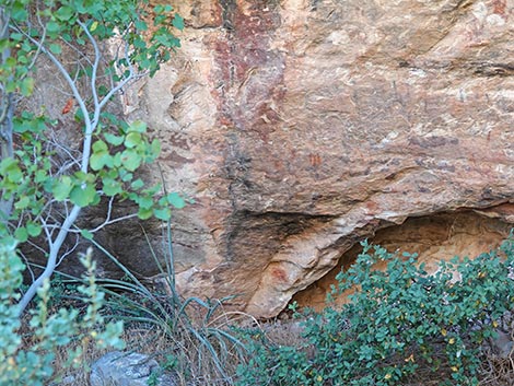
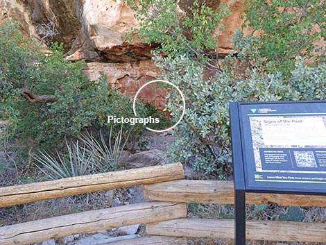 Pictographs left of the sign, partly hidden by trees (view SW) |
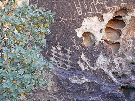
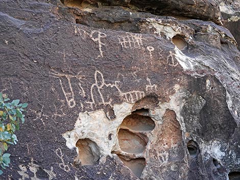
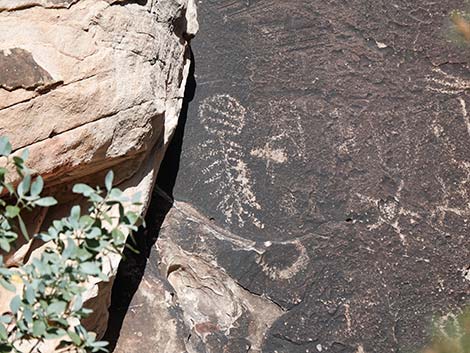
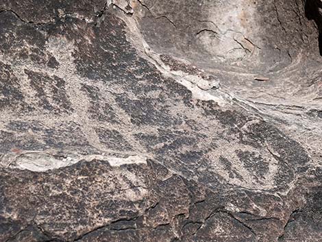
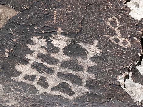
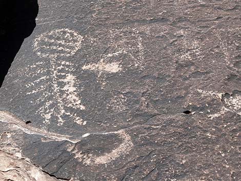
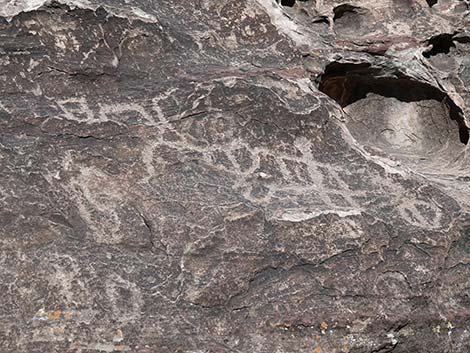
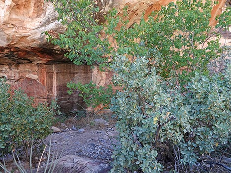
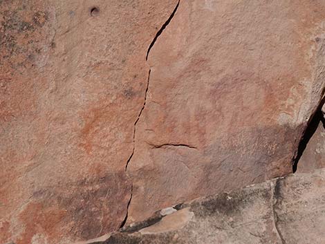
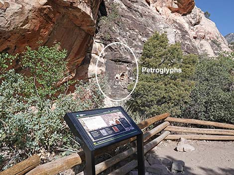 Petroglyphs right of the sign, partly hidden by trees (view NW) |
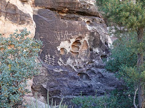
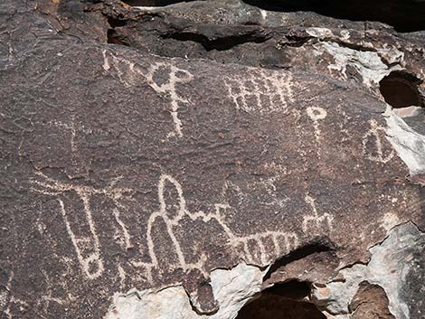
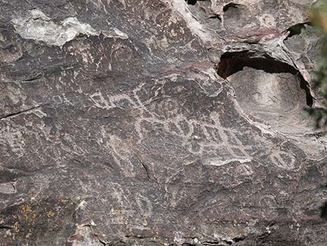
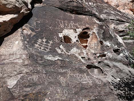
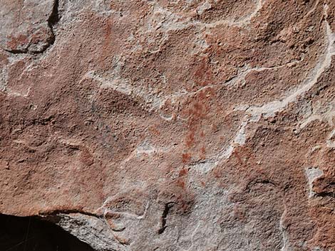
Rock Stories -- Petroglyphs. Stories picked into the rock.
 |
 |
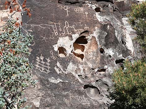 Petroglyphs visible between the trees (view NW) |
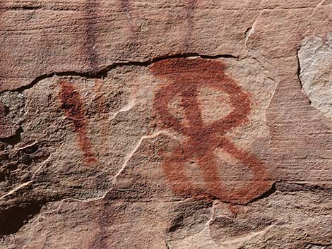
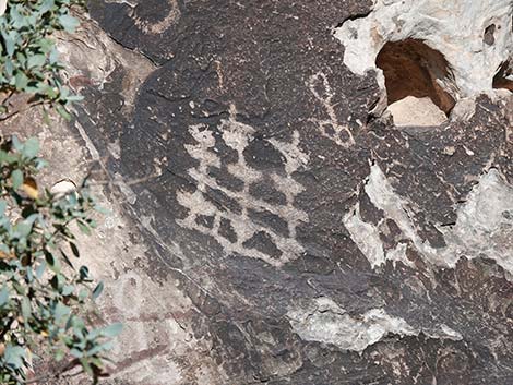 Petroglyphs |
 |
 |
 |
 |
 |
 |
 |
 |
 |
 |
 |
|
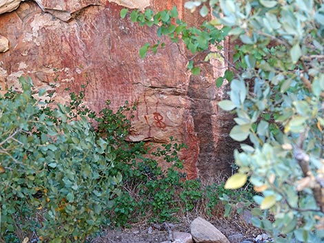
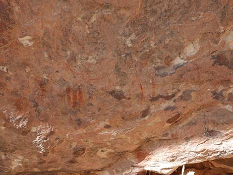
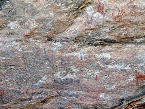
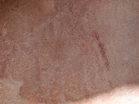
Rock Stories -- Pictographs. Stories painted to the rock.
Pictographs visible left of the sign (view SW) |
 Pictographs visible left of the sign (view SW) |
 |
 |
 |
|
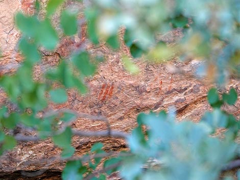
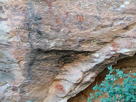
 Pictographs visible through trees left of the sign (view W) |
 Pictographs visible through trees left of the sign (view W) |
 View through the leaves |
 View before the fence was set up |
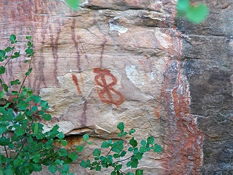
 Pictographs at far end of the fence (view W) |
 Pictographs at far end of the fence (view W) |
 |
 |
 |
 |
 |
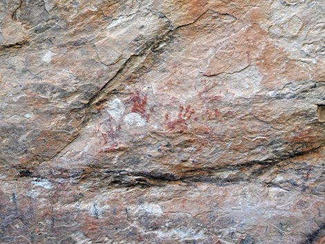
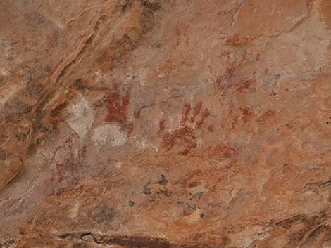 Small-hand pictographs are clearly visible (view W) |
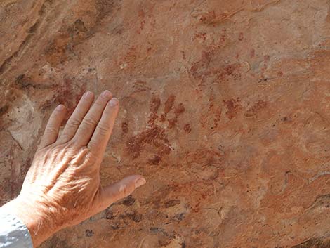 Small handprints (my hand for size -- not touching the rock) |
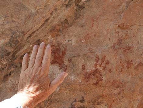 Small handprints (my hand for size -- not touching the rock) |
 |
 |
 |
 |
 |
 |
Return to the Trailhead
 Departing Petroglyph Wall (view SE) |
 Starting back (view E) |
 Trail descends back into the wash (view SE) |
 Hiker crossing the wash (view E) |
 Hiker leaving the wash (view E) |
 Trail climbs out of the wash (view E) |
 Trail bends right (view E) |
 Trail passes right of a pinyon pine tree (view SE) |
 Trail passes left of a pinyon pine tree (view SE) |
 Trail approaching the trailhead (view SE) |
 Returning to the trailhead (view SE) |
 Hiker returning to the Willow Springs parking area (view SE) |
Table 1. Hiking Coordinates Based on GPS Data (NAD27; UTM Zone 11S). Download Hiking GPS Waypoints (*.gpx) file.
| Wpt. | Location | UTM Easting | UTM Northing | Elevation (ft) | Point-to-Point Distance (mi) | Cumulative Distance (mi) | Verified |
|---|---|---|---|---|---|---|---|
| 01 | Trailhead | 635084 | 4002669 | 4,559 | 0.00 | 0.00 | Yes |
| 02 | Petroglyph Wall | 634935 | 4002642 | 4,585 | 0.15 | 0.15 | Yes |
Happy Hiking! All distances, elevations, and other facts are approximate.
![]() ; Last updated 250627
; Last updated 250627
| Hiking Around Red Rocks | Hiking Around Las Vegas | Glossary | Copyright, Conditions, Disclaimer | Home |