
Backroads Around Las Vegas, Lake Mead National Recreation Area

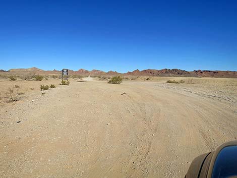 Lava Butte Road departs Hollywood Blvd up a wash (view NE) |
Overview Lava Butte Road is an 8-mile-long, fairly easy 4WD road that runs north-south between Frenchman Mountain (which borders the Las Vegas Valley) and Lake Mead. Lava Butte Road runs through the geologically interesting, colorful, and scenic Rainbow Gardens area. Lava Butte Road provides access to the southeast section of the Rainbow Gardens Area of Critical Environmental Concern (ACEC). Contained within the larger ACEC, the Sunrise Mountain Special Recreation Management Area is essentially the Rainbow Gardens ACEC south of Lake Mead Blvd. In this area, drivers and bike riders will find several designated roads, and hikers can explore off-trail, hike the Red Needle Trail, or climb Lava Butte, a stand-alone volcanic mountain. Watch for Desert Tortoise and rare plants such as Silverleaf Sunray and Sticky Ringstem. This area is so special that it has been proposed for protection as the East Las Vegas National Monument. Link to map. |
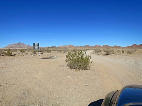 Lava Butte Road approaching an information sign (view NE) |
Watch Out Other than the standard warnings about being in the desert, ...this is a safe drive, but watch for rocks and washouts in the road. There is no gas or other facilities, and conditions change over time. Within the Rainbow Gardens ACEC, motor vehicles and bicycles are restricted to approved roads, of which there are several. Unfortunately, law enforcement is so infrequent that many people ignore the rules by riding and driving off-road wherever they can. While out, please respect the land and the other people out there, and try to Leave No Trace of your passage. This road runs through wild country, so bring the 10 Essentials. Shooting and camping are not permitted in this area. |
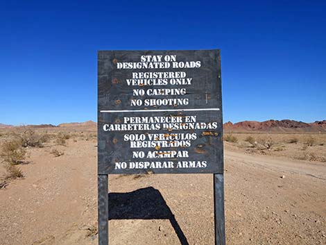 Information sign in English and Spanish (view NE) |
Getting to the Roadhead Lava Butte Road is located just east of the Las Vegas Valley, about 30 minutes east of downtown Las Vegas. From town, drive south on Interstate 11 (Highway 93/95/515) for 5 miles to Boulder Highway (Exit 70). Exit onto Boulder Highway southbound and drive 0.6 miles to Desert Inn Road. Turn left onto Desert Inn/Lamb, and quickly make an odd right turn to stay on Desert Inn. Drive east 3.0 miles to where Desert Inn dead-ends into S. Hollywood Blvd. Turn right onto Hollywood Blvd and drive south, then east. In 2 miles, the pavement ends, and in another 2 miles, Lava Butte Road forks to the left. Lava Butte Road is the last of three legal left turns from Hollywood, but there are no signs. |
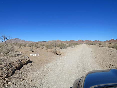 Lava Butte Road quickly departs the wash (view N) |
The Road From S. Hollywood Blvd (Table 1, Site 2020), Lava Butte Road turns up a desert wash to run north into the open Mojave Desert. Quickly, Lava Butte Road exits the wash to run long and straight towards the mountains ahead in the distance. Drivers should watch their speed to avoid running over tortoises or hitting rocks, rills, and washouts. At about 0.29 miles out, Lava Butte Road enters the Rainbow Gardens ACEC at a sign (Site 2021) announcing entrance into the Sunrise Mountain Special Recreation Management Area (SRMA). The SRMA is the southern part of the ACEC. This is also the area proposed for protection as East Las Vegas National Monument. At about 1.1 miles out, Lava Butte Road begins to climb into the mountains, and at about 1.43 miles out, arrives at trailhead parking (Site 2022) for the Red Needle Trail. Fencing borders both sides of the road here, but a wide area serves as trailhead parking. |
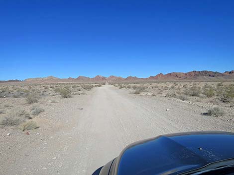 Lava Butte Road starts by running straight (view NE) |
Continuing past the trailhead, Lava Butte Road climbs at gentle grades up a canyon bordered by rocky outcrops and colorful soils. At about 2.4 miles out, arrives at a saddle between rocky ridges. Still heading northeast, Lava Butte Road continues down the other side of the saddle traversing the hillside above a rock quarry (East Rainbow Gardens Gypsum Mine) where miners excavated white gypsum from the bottom of the canyon. Lava Butte Road eventually bends right and dips to cross the bottom of the canyon, climb over a low saddle, and run southeast down a narrow canyon. The center of the road can be deeply washed out through this area. |
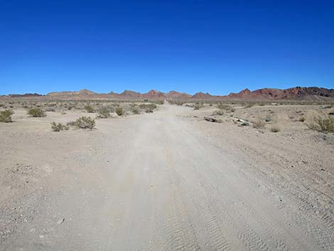 Watch for occasional washouts along Lava Butte Road (view NE) |
Soon, Lava Butte Road arrives at the first corner of a triangular intersection (Site 2023). Lava Butte Road stays left in the gully, while a powerline road cuts up and out of the gully to the right. In another 200 yards, Lava Butte Road passes the second corner of the triangle intersection. Lava Butte Road continues down the gully, now heading northeast, and at about 0.2 miles past the triangle intersection, arrives at a wash (actually the confluence of two washes). Lava Butte Road turns left to head up the wash, while it appears that another road heads down the wash. Driving down the wash is not legal, and regardless, soon arrives at natural barriers blocking further travel. Now heading northwest, Lava Butte Road runs up the wash until bending right and up onto the open hillside. At this point, Lava Butte Road begins climbing onto the west flank of Lava Butte, an isolated peak of volcanic rock that stands high above the surrounding landscape. |
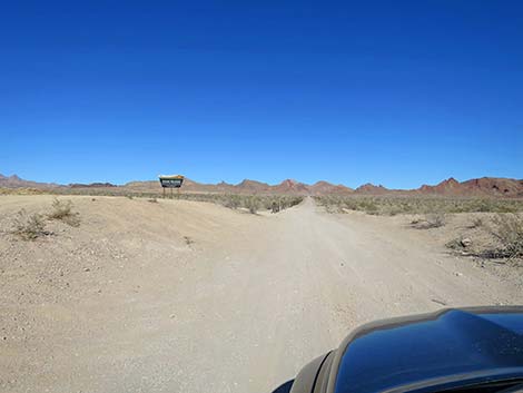 Lava Butte Road at Rainbow Gardens ACEC boundary (view NE) |
Lava Butte has the appearance of a volcano, but it is actually a laccolith. When molten magma pushes towards the surface, but never breaks through, it hardens underground as a pluton. In the case of a laccolith, the magma is pushing up through layered sedimentary rocks. As the magma pushes up, the layers can separate, allowing magma to move horizontally between the layers. This can result in a wide, dome-shaped plutonic mass below the surface. Over time, the overlaying soft sedimentary rocks erode to expose the volcanic laccolith. In the special case of the Lava Butte laccolith, after the laccolith formed, the rock layers were tilted up about 50 degrees to the east, so what we see is the edge of the laccolith protruding above the surrounding landscape. Lava Butte Road climbs, rather steeply at times, onto a saddle (5.18 miles out; Site 2024) on the northwest side of Lava Butte, and visitors are presented with long views northeast down a narrow canyon cluttered with power towers and powerlines. Continuing down the other side, Lava Butte Road drops even more steeply as it descends the canyon, eventually running out onto broad desert flats below. The driving becomes easy again, and the colorful scenery opens up. |
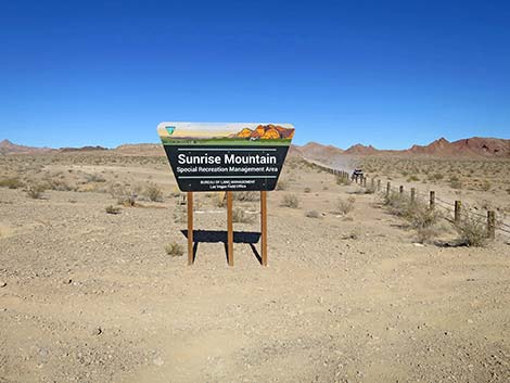 Lava Butte Road at Rainbow Gardens ACEC boundary (view NE) |
At about 7.3 miles out, Lava Butte Road forks (Site 2025). Here, Lava Butte Road continues straight heading northeast towards Lake Mead Blvd, some 1.0-miles away. For drivers needing just a little bit more time in the dirt, stay left onto a Connector Road, and in about 0.3 miles, merge onto Rainbow Gardens Road (Site 2026) still heading north. Rainbow Gardens Road bends northeast then east and drops to cross a broad gravel wash (Site 2027). In the wash, Kodachrome Road forks left heading up the wash. Rainbow Gardens Road continues straight to climb steeply out of the wash where people in 2WD vehicles spin their tires and dig deep divots into the roadway. Out of the wash, Rainbow Gardens Road enters a trailhead parking area overlooking the wash. Continuing between post-and-cable fencing, the road runs out to another trailhead parking area and ends at the edge of Lake Mead Blvd (Site 2028). Drives can turn left to return to Las Vegas, or turn right to continue out to Lake Mead National Recreation Area. |
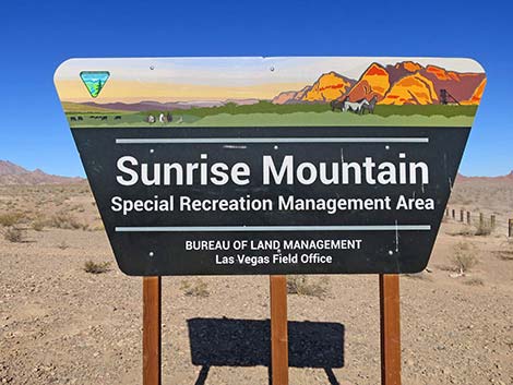 Sign: Rainbow Gardens ACEC (view NE) |
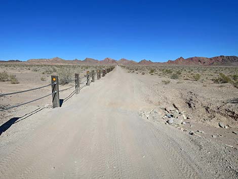 Watch for occasional washouts along Lava Butte Road (view NE) |
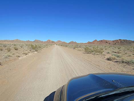 Lava Butte Road continues into Rainbow Gardens ACEC (view NE) |
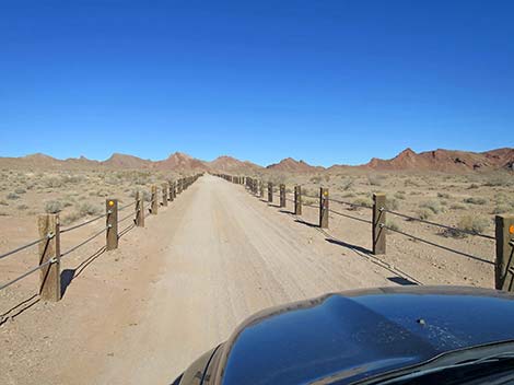 Lots of fencing to keep people from driving in the bushes (view NE) |
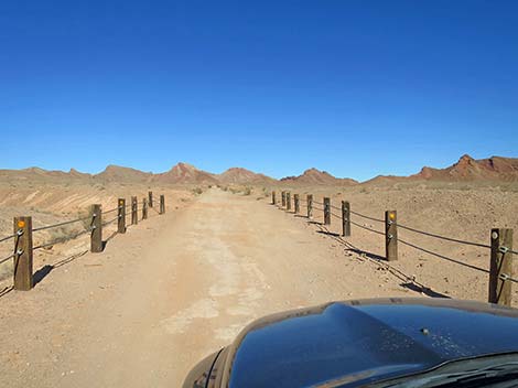 Lots of fencing to keep people from driving in the bushes (view NE) |
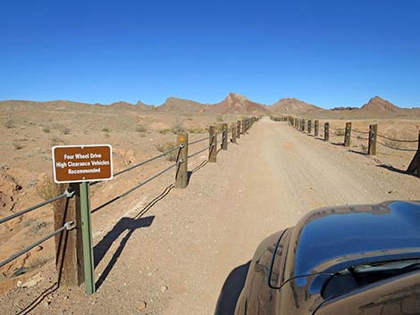 Road sign: 4WD-HC vehicles recommended (view NE) |
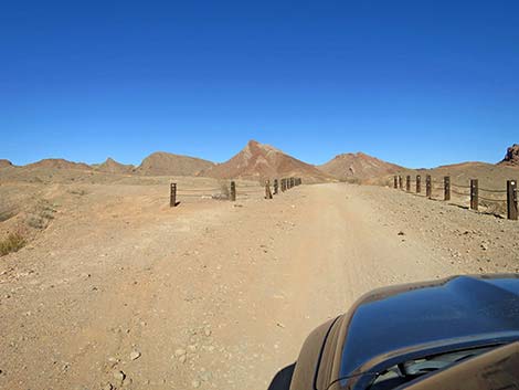 Lava Butte Road approaching more fencing and illegal road (view NE) |
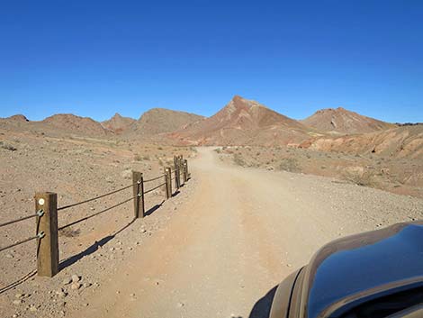 Lava Butte Road at end of fencing (view NE) |
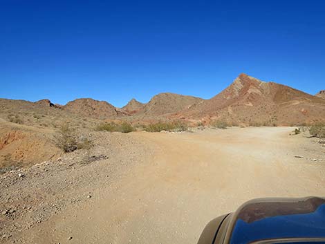 Lava Butte Road at another illegal side-road (view NE) |
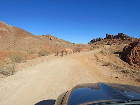 Lava Butte Road approaching the mountains (view NE) |
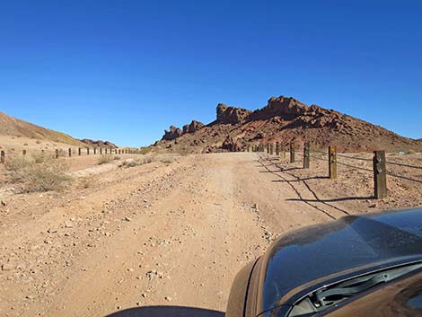 Lava Butte Road between wide fencing (view NE) |
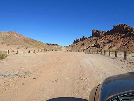 Lava Butte Road approaching the Red Needle Trailhead (view NE) |
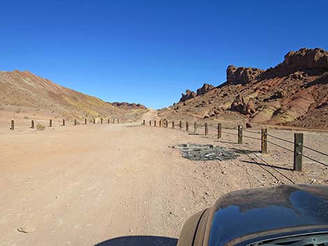 Lava Butte Road at Red Needle Trailhead (view NE) |
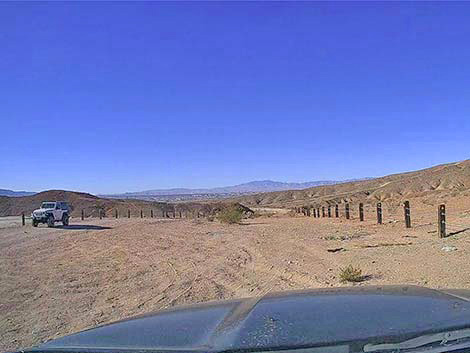 More trailhead parking on the other side of the road (view SW) |
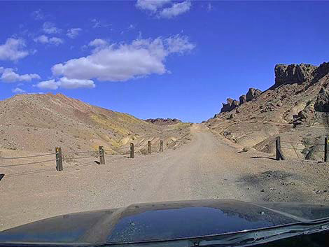 Lava Butte Road continuing past Red the Needle Trailhead (view NE) |
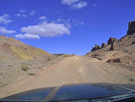 Lava Butte Road climbing into the mountains (view NE) |
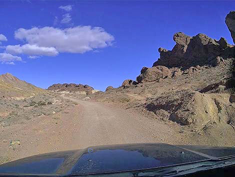 Wild rock formations (view NE) |
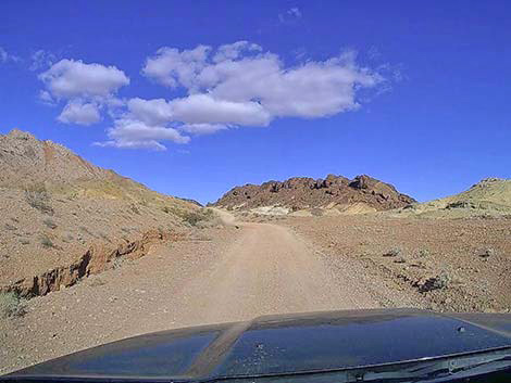 Lots of color in the rocks and dirt (view NE) |
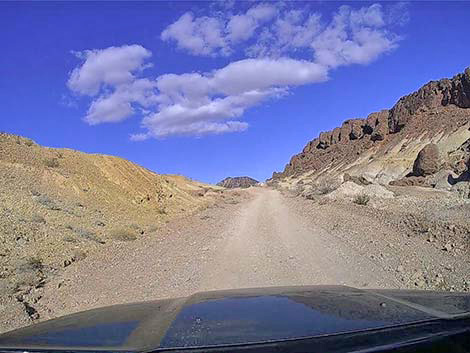 Lava Butte Road climbing towards a highpoint (view NE) |
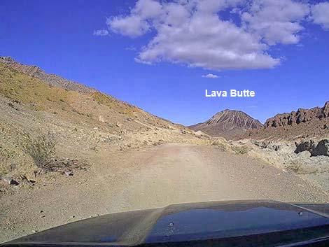 Lava Butte Rd at a highpoint; Lava Butte comes into view (view NE) |
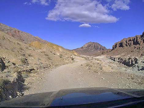 Lava Butte Road descends along a stone quarry (view NE) |
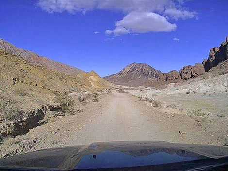 Lava Butte Road descends along a stone quarry (view NE) |
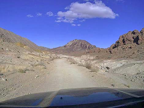 Lava Butte Road passing the stone quarry (view NE) |
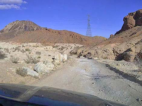 Lava Butte Road descends towards a wash crossing (view NE) |
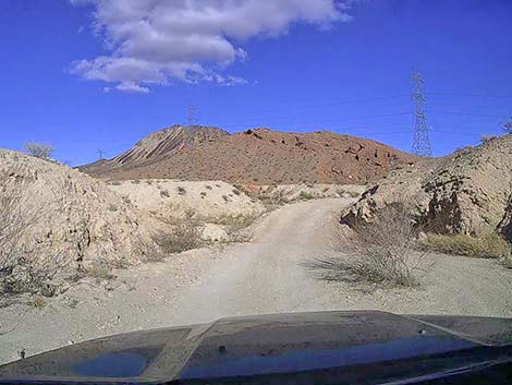 Lava Butte Road crossing a wash subject to washout (view NE) |
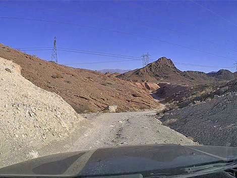 Lava Butte Road bends right to descend a gully (view SE) |
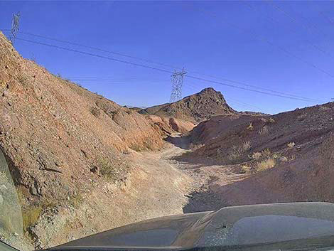 In the gully, the center of Lava Butte Road is washed out (view NE) |
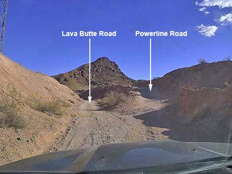 Lava Butte Road at a triangular-intersection fork (view SE) |
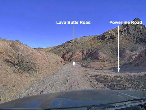 Lava Butte Rd at other end of triangular-intersection fork (view SE) |
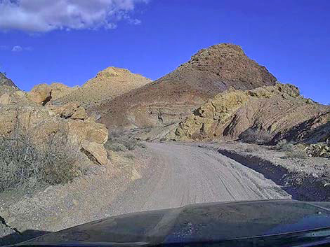 Lots of interesting color in the rocks (view E) |
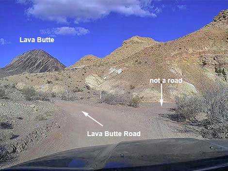 Lava Butte Road at a wash (view NE) |
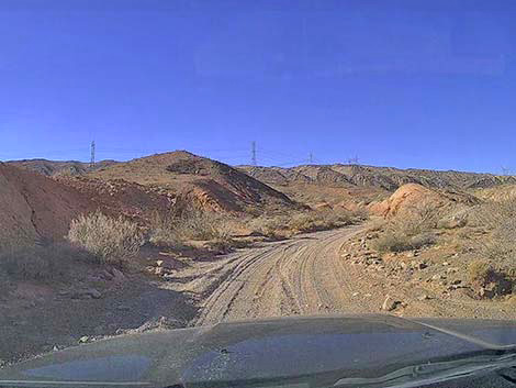 Lava Butte Road turns up the wash (view NW) |
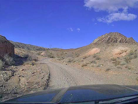 Lava Butte Road continues up the wash (view N) |
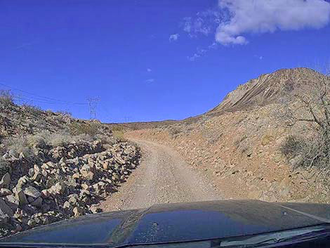 Parts of Lava Butte Road are narrow (view N) |
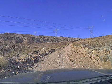 Lava Butte Road exits the wash (view N) |
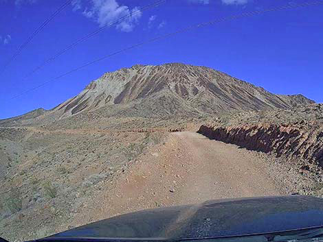 Lava Butte Road climbs onto the SW flank of Lava Butte (view NE) |
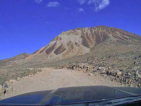 Lava Butte Road approaching SW flank of Lava Butte (view NE) |
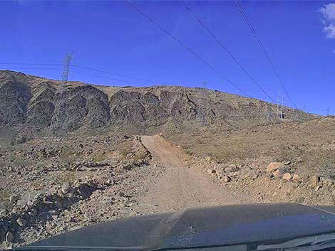 Lava Butte Road traverses W side of Lava Butte (view NW) |
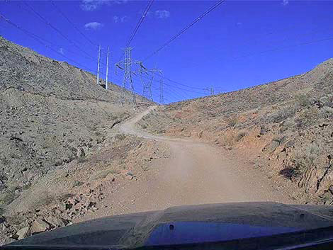 Lava Butte Road approaching steepest climb (view N) |
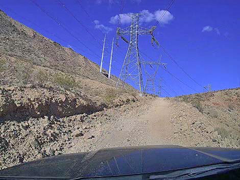 Steep loose gravel on hard dirt: I used 4WD here (view NE) |
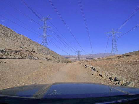 Highpoint on the road below NW side of Lava Butte (view NE) |
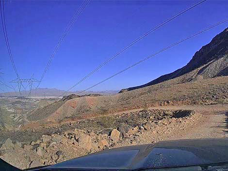 Lava Butte Road begins a very steep descent (view E) |
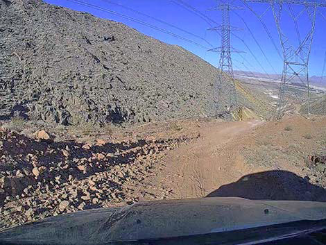 Lava Butte Road descending very steeply (view NE) |
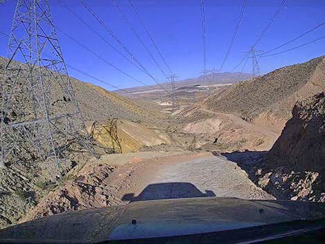 Lava Butte Road approaching the steepest point (view NE) |
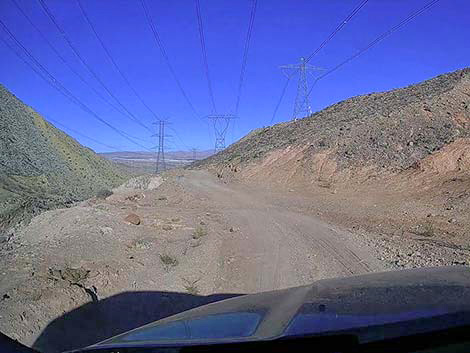 Lava Butte Road at parking below steepest part (view NE) |
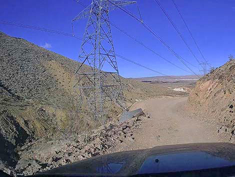 Lava Butte Road traversing steep hillside (view NE) |
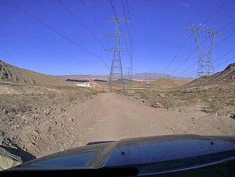 Lava Butte Road emerging from the canyons (view NE) |
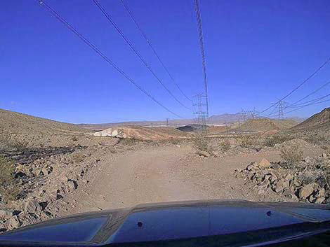 Highest trailhead for the North Ridge of Lava Butte (view NE) |
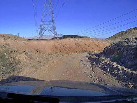 Lava Butte Road descends through another gully (view NE) |
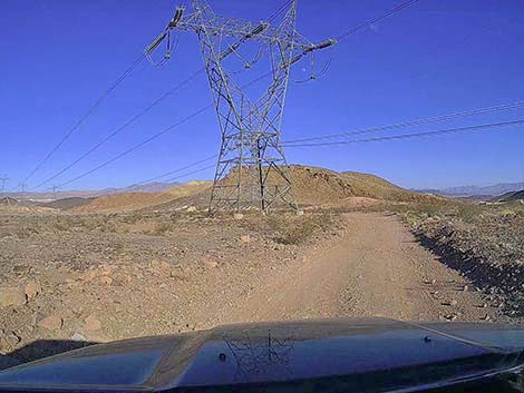 Lava Butte Road descending across gentle terrain (view NE) |
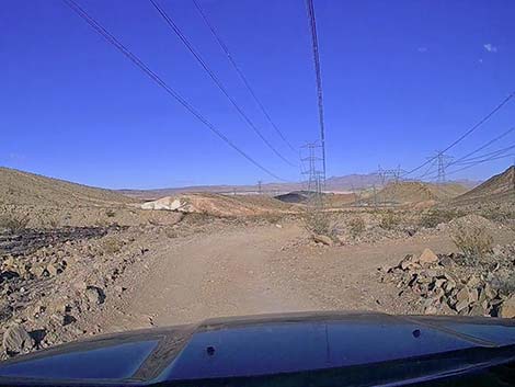 Lava Butte Road at a lower Lava Butte Peak trailhead (view NE) |
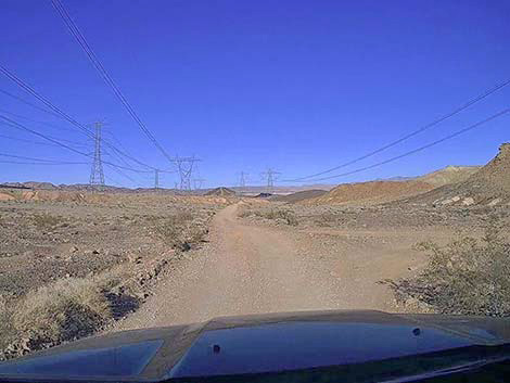 Lots of spur roads to power towers (view NE) |
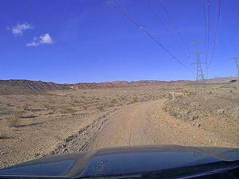 Lava Butte Road descending across gentle terrain (view NE) |
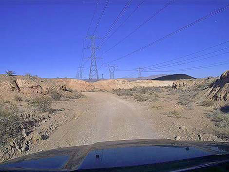 The landscape still has lots of color (view NE) |
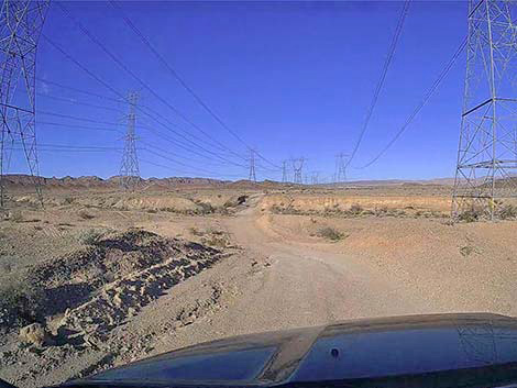 Lava Butte Road crosses several washes (view NE) |
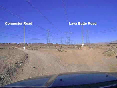 Lava Butte Road at another fork (view NE) |
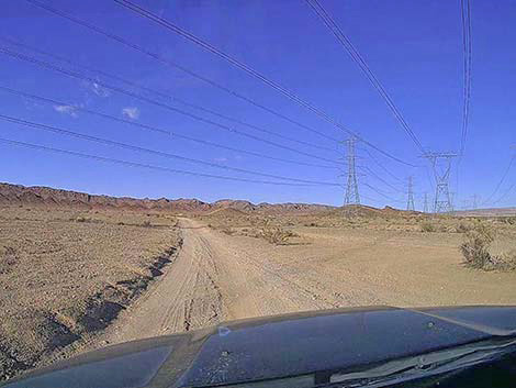 Continuing left onto Connector Road (view N) |
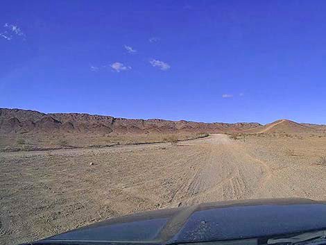 Connector Road merging with Rainbow Gardens Road (view N) |
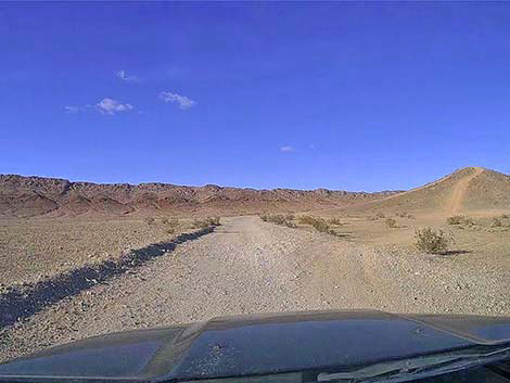 Continuing on Rainbow Gardens Road (view N) |
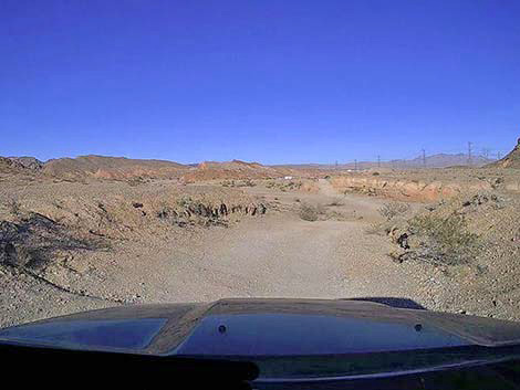 Rainbow Gardens Road descends into broad wash (view NE) |
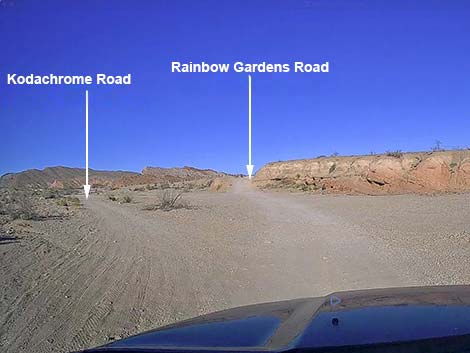 Rainbow Gardens Road forks in a broad wash (view NE) |
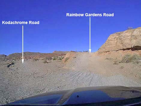 Rainbow Gardens Road climbs out of the broad wash (view NE) |
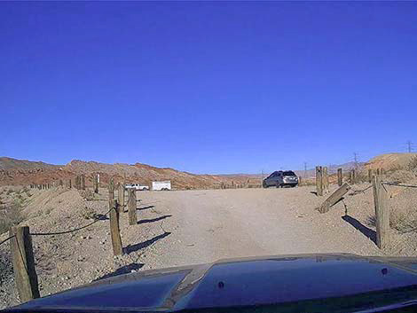 Rainbow Gardens Road climbs out of the broad wash (view NE) |
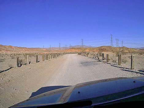 Rainbow Gardens Road is lined with fencing (view NE) |
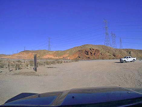 Rainbow Gardens Road approaching Lake Mead Blvd (view NE) |
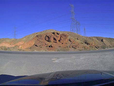 Rainbow Gardens Road at Lake Mead Blvd (view NE) |
Table 1. Highway Coordinates Based on GPS Data (NAD27; UTM Zone 11S). Download Roadway GPS Waypoints (*.gpx) file.
| Wpt. | Location | Latitude (N) | Longitude (W) | Elevation (ft) | Point-to-Point Distance (mi) | Cumulative Distance (mi) |
|---|---|---|---|---|---|---|
| 2020 | Hollywood Blvd at Lava Butte Rd | 36.09696 | 114.97893 | 1,578 | 0.00 | 0.00 |
| 2021 | Lava Butte Road at Sunrise SMA Sign | 36.10064 | 114.97630 | 1,600 | 0.29 | 0.29 |
| 2022 | Lava Butte at Red Needle Trailhead | 36.11365 | 114.96494 | 1,785 | 1.14 | 1.43 |
| 2023 | Lava Butte Rd at Powerline Rd | 36.13327 | 114.94335 | 1,730 | 2.06 | 3.49 |
| 2024 | Lava Butte Rd at High Saddle | 36.15130 | 114.94253 | 2,056 | 1.69 | 5.18 |
| 2025 | Lava Butte Rd at Junction | 36.17254 | 114.92298 | 1,613 | 2.10 | 7.28 |
| 2026 | Rainbow Gardens Rd at Junction | 36.17689 | 114.92445 | 1,638 | 0.31 | 7.59 |
| 2027 | Rainbow Gardens Rd at Kodachrome Rd | 36.18350 | 114.92293 | 1,651 | 0.49 | 8.08 |
| 2028 | Rainbow Gardens Rd at Lake Mead Blvd | 36.18594 | 114.91788 | 1,635 | 0.35 | 8.43 |
Happy Hiking! All distances, elevations, and other facts are approximate.
![]() ; Last updated 250120
; Last updated 250120
| Backroads Around Lake Mead | Hiking Around Las Vegas | Glossary | Copyright, Conditions, Disclaimer | Home |