Roads Around Las Vegas
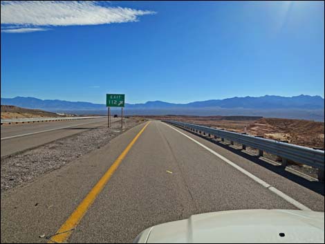
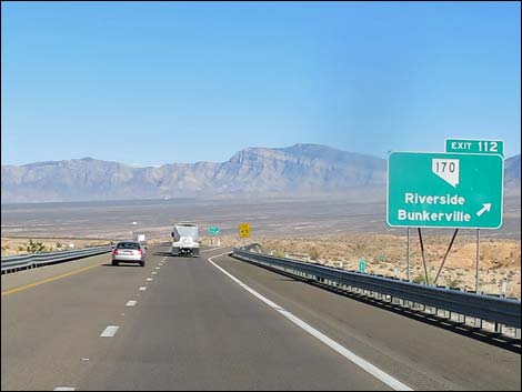 I-15, approaching Riverside-Bunkerville exit (Exit 112; view SE) |
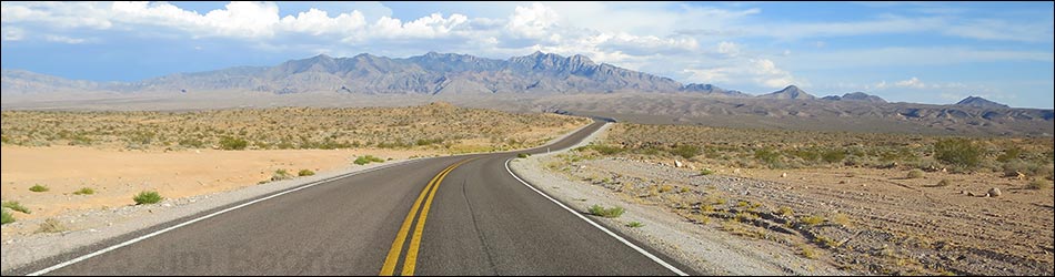
Overview Highway 170 Eastbound runs between Interstate 15 (Exit 112) and Mesquite, first crossing the Virgin River and passing Gold Butte Road, then running up the south side of the river through Bunkerville and into Mesquite. This highway provides access to the wild and rugged Gold Butte region. Highway 170 is a paved and well-maintained state highway. When driving in the other direction, see Highway 170 Westbound - Mesquite to Gold Butte Road or Highway 170 Westbound - Gold Butte Road to Interstate 15. Link to map. |
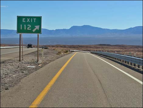
 I-15 off ramp (view SE) |
Watch Out Other than the standard warnings about being in the desert, ... this is a fairly safe highway without unusual hazards. While out, please respect the land and the other people out there, and try to Leave No Trace of your passage. Also, this is a remote area, so be sure to bring the 10 Essentials. |
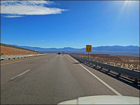
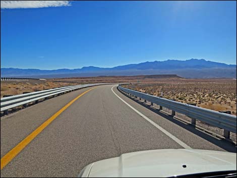
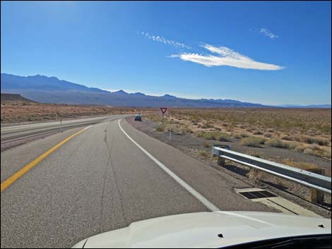
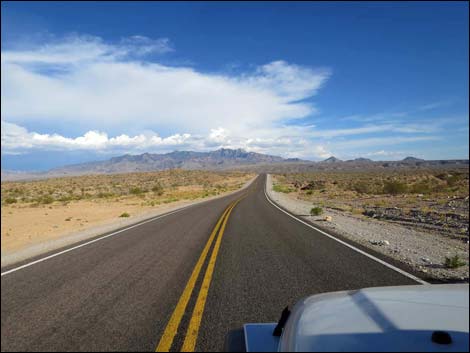
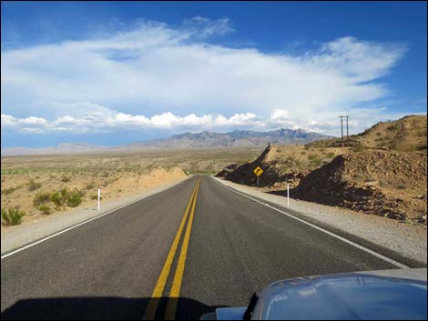
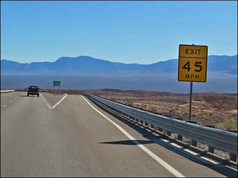 I-15 (Exit 112) off ramp (view SE) |
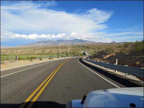
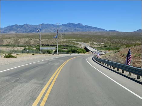
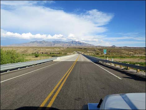
The Road From Interstate 15 (Exit 112; Site 0684), Highway 170 winds down 3.5 miles of sparsely vegetated desert hillsides towards the Virgin River. The small historical settlement of Riverside is passed as the road runs onto the bridge over the Virgin River (Site 0685). Just across the bridge Highway 170 passes a paved road to the right (Site 0686) that leads down along the south side of the Virgin River -- this is Gold Butte Road and the start of a wild adventure into the Gold Butte region. Continuing, Highway 170 climbs a hill steeply and bends left to run up along the south side of the Virgin River. The road eventually passes through the small town of Bunkerville and recrosses the Virgin River to enter Mesquite from the south side, ending at Mesquite Blvd (Site 1639) in the old part of town. |
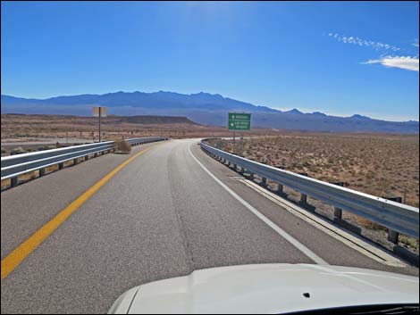
 I-15 (Exit 112) off ramp (view SE) |
 I-15 (Exit 112) off ramp (view SE) |
 I-15 (Exit 112) off ramp (view SE) |
 I-15 off ramp approaching into Highway 170 (view SE) |
 I-15 off ramp approaching into Highway 170 (view SE) |
 I-15 off ramp merging into Highway 170 (view SE) |
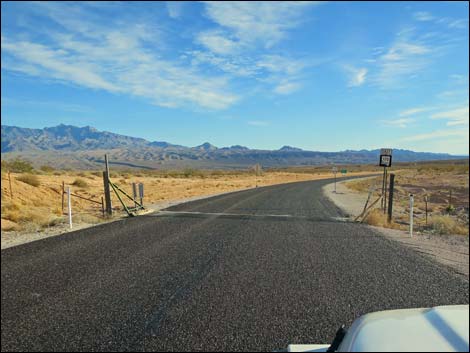 Highway 170 at cattle guard (view E) |
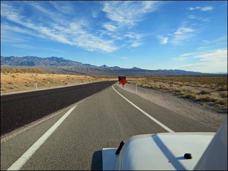
 Highway 170 approaching highway sign (view E) |
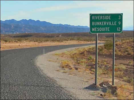 Highway sign (view S) |
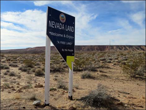 Sign erected by terrorists declaring independence from the USA |
 |
 |
 |
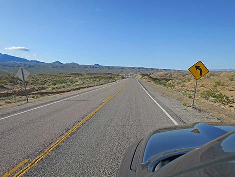 |
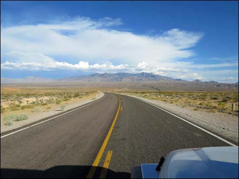
 Highway 170 approaching a curve (view SW) |
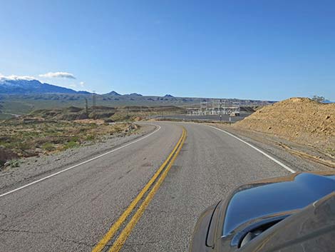
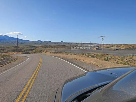 Highway 170 approaching a power substation (view SW) |
 |
 |
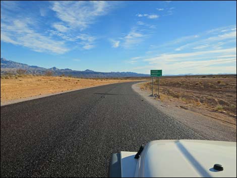
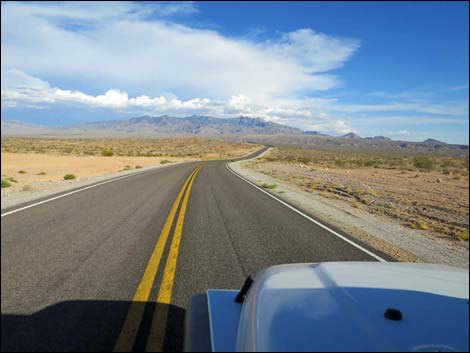
 Hwy 170 approaching Riverside (view SE) |
 Hwy 170 at Virgin River Bridge (view S) |
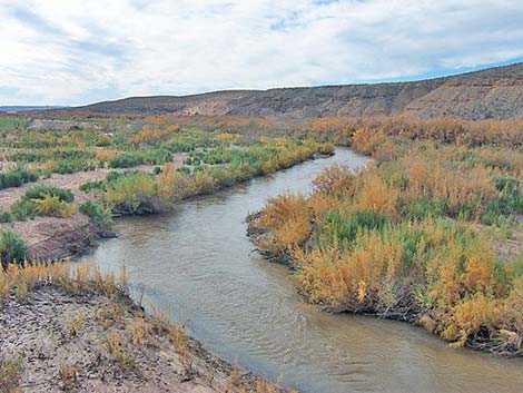
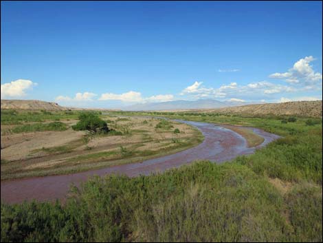 Virgin River upstream (view E from bridge during late summer) |
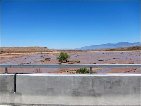 Virgin River upstream (view E from bridge; summer floods) |
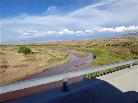 Virgin River upstream (view E from bridge; after summer floods) |
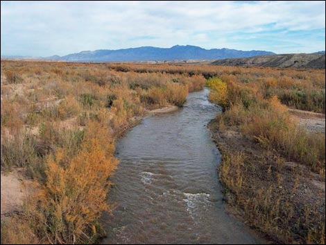 Virgin River upstream (view E from bridge; winter) |
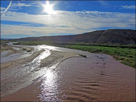
 Virgin River downstream (view W from bridge; winter) |
 Virgin River downstream (view W from bridge; summer) |
 Highway 170, exiting the Virgin River Bridge (view S) |
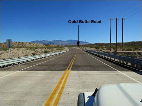
 Hwy 170 approaching Gold Butte Road (view S) |
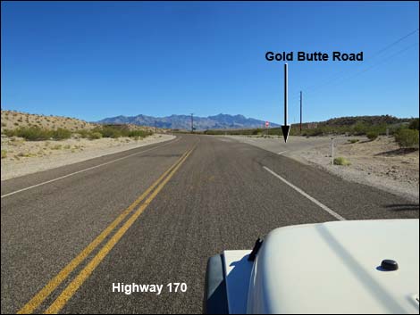 Hwy 170 approaching Gold Butte Road (view S) |
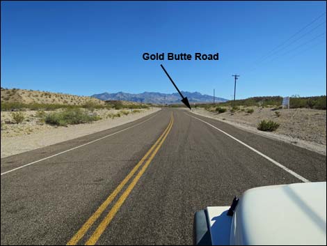
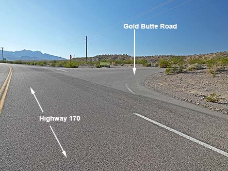 Hwy 170 at Gold Butte Road (view S) |
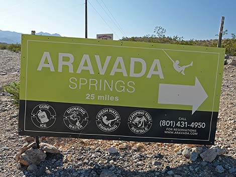 Aravada Springs Resort -- to the right (view N) |
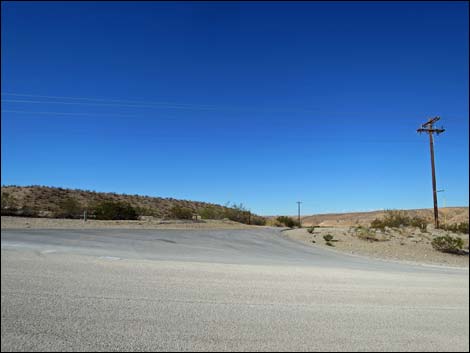 Gold Butte Road (view W from Hwy 170) |
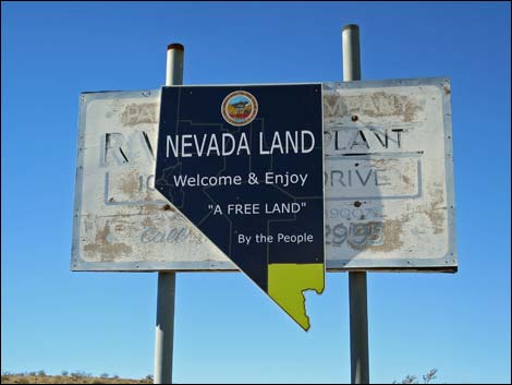 Sign erected by terrorists declaring independence from the USA |
 More to come ... |
Table 1. Highway Coordinates Based on GPS Data (NAD27; UTM Zone 11S). Download Highway GPS Waypoints (*.gpx) file.
| Wpt. | Location | Latitude (N) | Longitude (W) | Elevation (ft) | Point-to-Point Distance (mi) | Cumulative Distance (mi) | Verified |
|---|---|---|---|---|---|---|---|
| 0684 | I-15 at Hwy 170 | 36.77063 | 114.23374 | 1,804 | 0.00 | 0.00 | Yes |
| 0685 | Hwy 170 at Virgin River Bridge | 36.73473 | 114.21926 | 1,444 | 3.33 | 3.33 | Yes |
| 0686 | Hwy 170 at Gold Butte Rd | 36.73179 | 114.21724 | 1,444 | 0.22 | 3.55 | Yes |
| 1639 | Hwy 170 at Mesquite Blvd | 36.80376 | 114.09284 | 1,563 | 9.15 | 12.70 | Yes |
Happy Hiking! All distances, elevations, and other facts are approximate.
![]() ; Last updated 240331
; Last updated 240331
| Roads Around Las Vegas | Hiking Around Las Vegas | Glossary | Copyright, Conditions, Disclaimer | Home |