previous day | next day
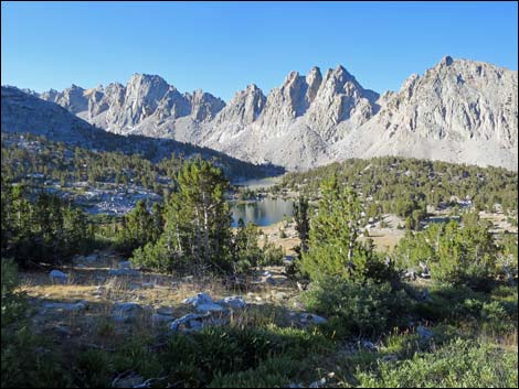
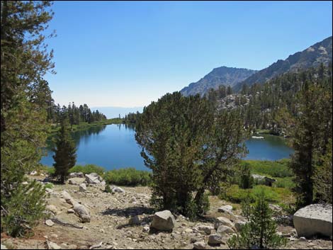
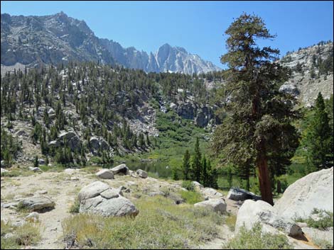
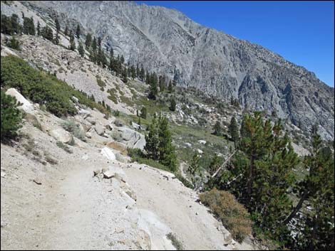
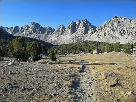 Departing Kearsarge Lake (view S back towards camp) |
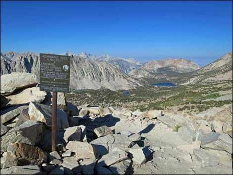
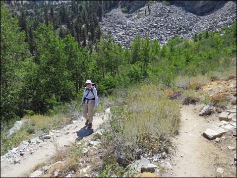
Day 9. Backpacking Day 8. On the last day, I hiked up over Kearsarge Pass, a relatively easy pass at only 11,709 feet elevation, and then all the way down to the Onion Valley Trailhead (9,185 ft). The shin splints were painful, but if I could hike without flexing my right ankle, the pain was minimal. Hiking down the trail nearing the trailhead, it was quite a sight to come around a corner and see Liz coming up the trail with an empty backpack to help me carry the load the rest of the way down. |
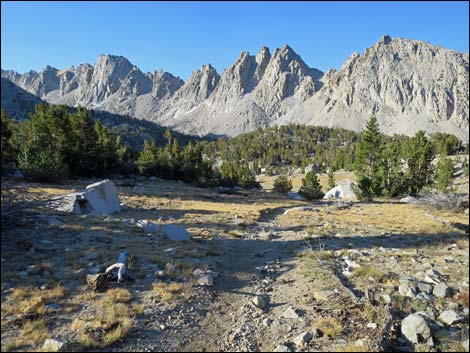
 Departing Kearsarge Lake (view W towards JMT) |
After lots of hugs, we hiked out and headed to Independence Town where we got a room at the Mt. Morrison Motel and Basecamp, a business that caters to backpackers. To stretch my ankle in the evening, we walked downtown to Jalisco Tacos for some great street food. We relaxed, chatted with the neighbors, and lounged around for the evening. A real bed and a shower with hot water were treats, and it was nice to have Liz there. |
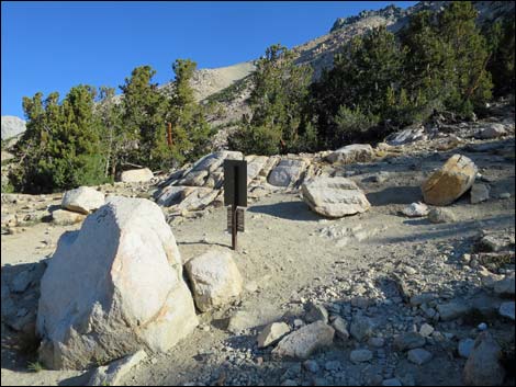
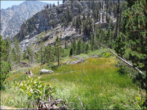
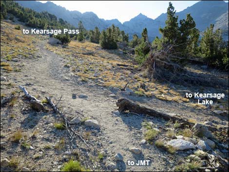 Junction of Lower Kearsarge Pass and Kearsarge Lakes trails (view E) |
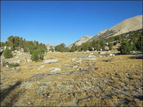
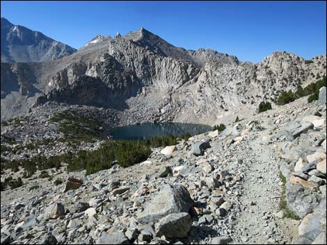
 Kearsarge Lake (view S back towards camp from junction) |
 Departing Kearsarge Lake (view S back towards camp) |
 Looking into the sunrise (view E) Looking into the sunrise (view E) |
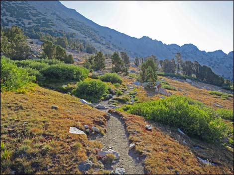
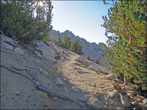
 Switchbacking towards Kearsarge Pass (view NW) |
 Looking back towards JMT (view W) |
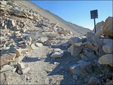
 Junction of Upper and Lower Kearsarge Pass trails (view E) |
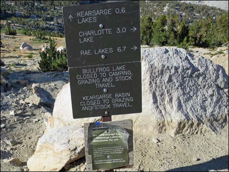 Sign at trail junction (view SW) |
 Climbing towards Kearsarge Pass (view E) |
 Switchbacking towards Kearsarge Pass (view W) |
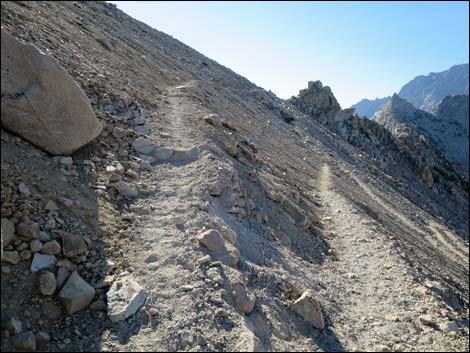 Switchbacking towards Kearsarge Pass (view E) |
 Approaching Kearsarge Pass (view W) |
 Kearsarge Pass (view E) |
 Kearsarge Pass (view W) |
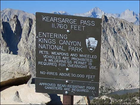 Kearsarge Pass sign (view SW) |
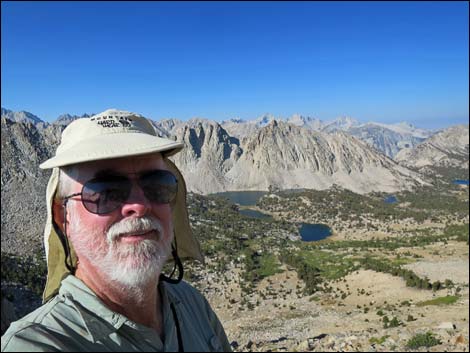 Selfie atop Kearsarge Pass (view W) |
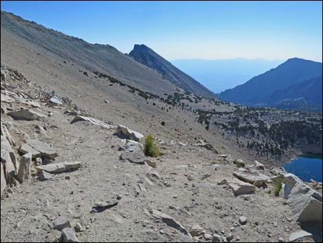
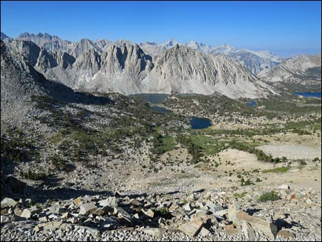 Kearsarge Lakes Basin (view SW) |
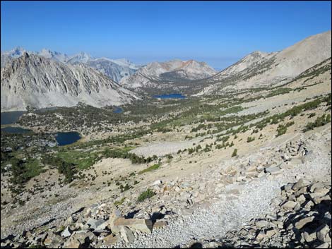 Kearsarge Lakes Basin (view W) |
 Descending over Kearsarge Pass (view SW) |
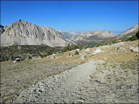
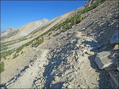
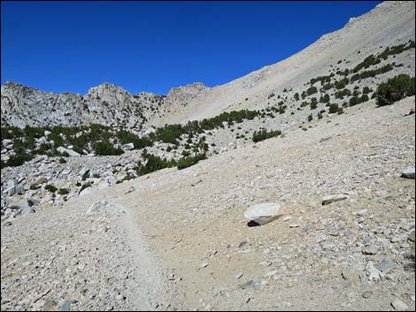
 Switchbacking below Kearsarge Pass (view E) |
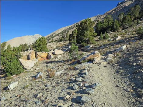
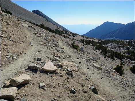
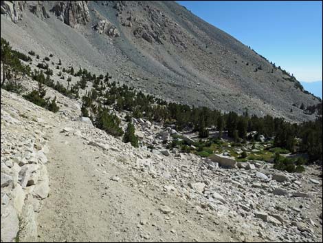
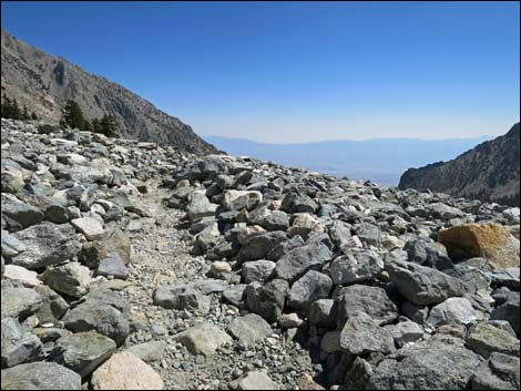
 Crossing high, barren hillsides (view W) |
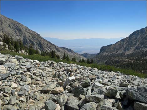
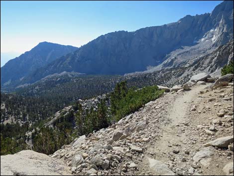 Grand views from above cliffy section of trail (view SE) |
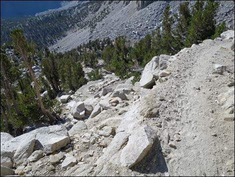 Cliffy section of trail (view S) |
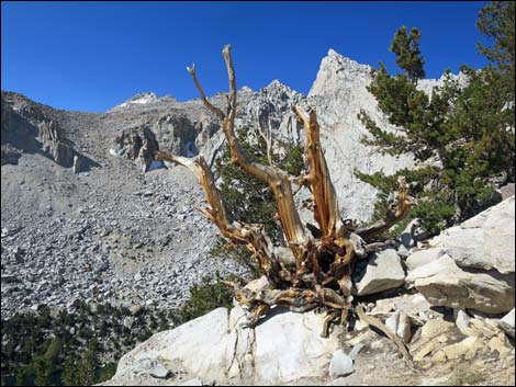 Art in the wilderness (view SE) |
 |
 |
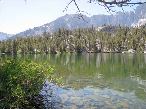
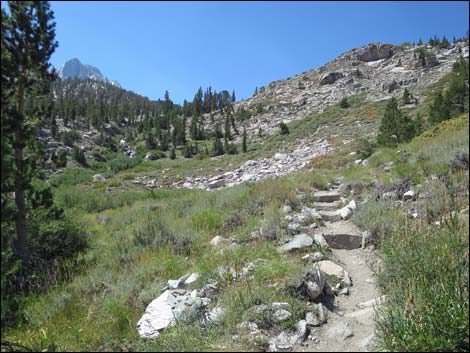
 Approaching Gilbert Lake (view E) |
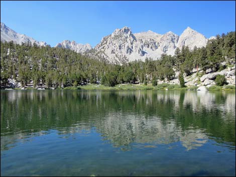 Gilbert Lake (view W) |
 Gilbert Lake (view S) |
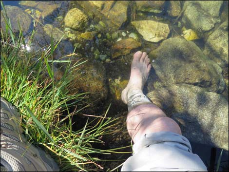 Soaking my shin in Gilbert Lake |
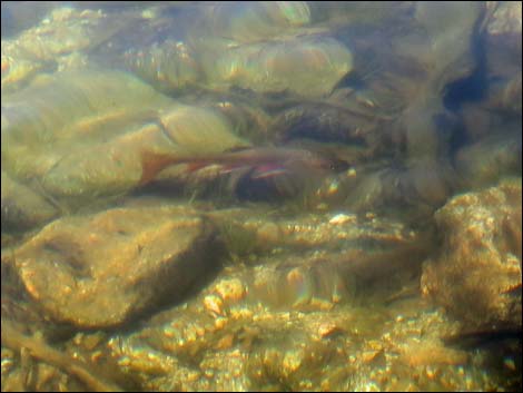 Trout in Gilbert Lake |
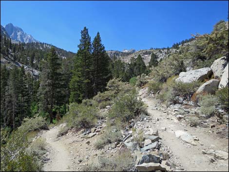
 Starting onto steep hillsides below Gilbert Lake (view E) |
 Crossing rocky hillsides below Gilbert Lake (view E) |
 Switchbacking down steep hillside (view N) |
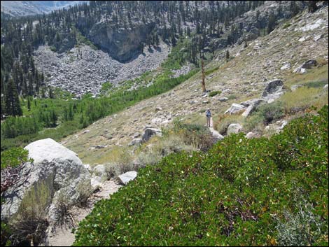
 Descending towards Little Pothole Lake (view S) |
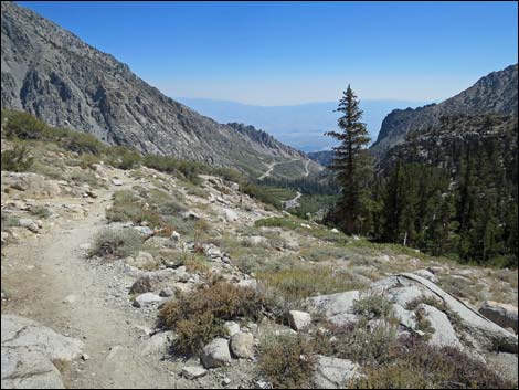 First view of the highway (view E) |
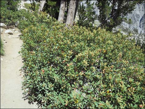 Bush Chinquapin (Chrysolepis sempervirens) |
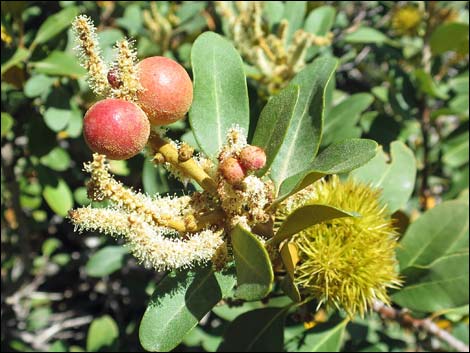 Bush Chinquapin (Chrysolepis sempervirens) |
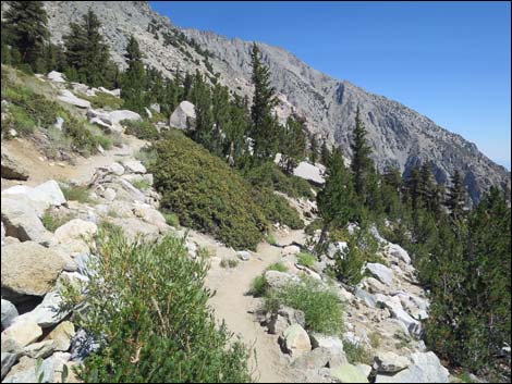
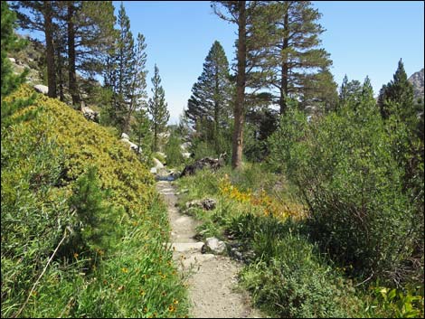
 Switchbacking steep hillside on gentle trail (view N) |
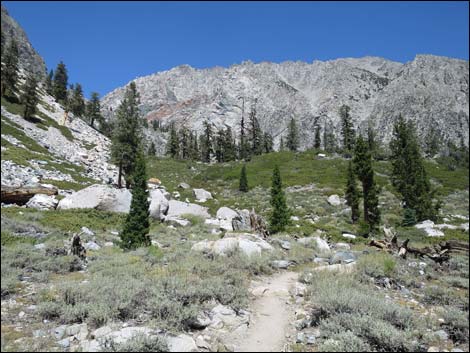
 Alpine meadow (view SE) |
 Looking back towards Gilbert Lake (view W) |
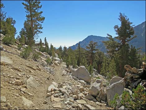
 Descending gentle trail (view NE) |
 Switchbacking down (view W) |
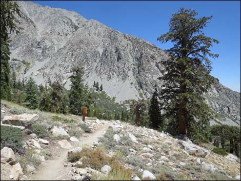 Approaching John Muir Wilderness boundary (view NE) |
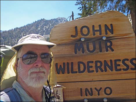 Selfie at John Muir Wilderness boundary sign (view SW) |
 Descending into Sagebrush country (view N) |
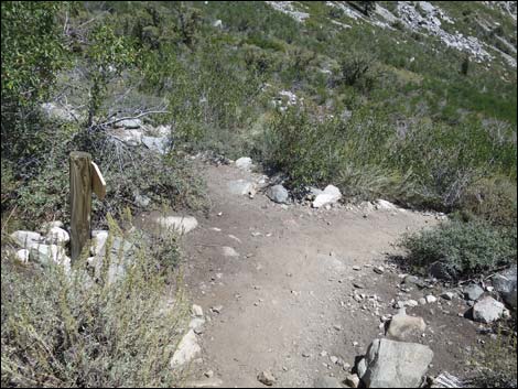 Trail junction to Golden Trout Lakes (view N) |
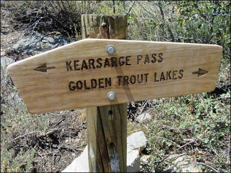 Golden Trout Lakes junction sign (view NW) |
 Approaching another trail sign (view S) Approaching another trail sign (view S) |
 Trail sign (view W) |
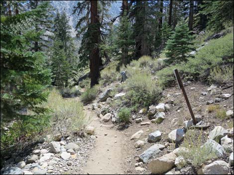
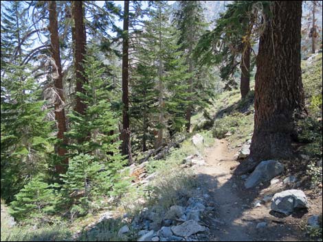 Descending through heavy forest (view SE) |
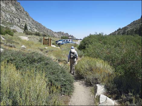
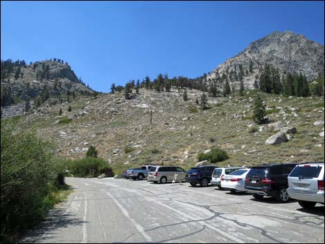
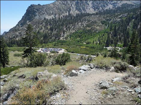 Trailhead parking comes into view (view SE) |
 Look who's coming up the trail! (view S) |
 Liz helping carry my gear down the trail (view SW) |
 Liz approaching the trailhead (view E) |
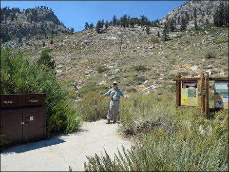 Jim at the trailhead (view NW) |
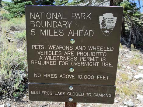
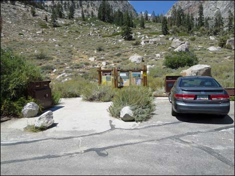
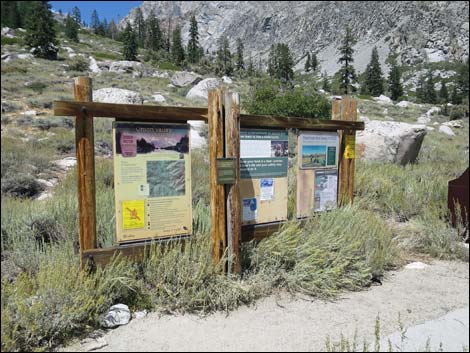 Trailhead signs (view N) |
 Trailhead signs (view N) |
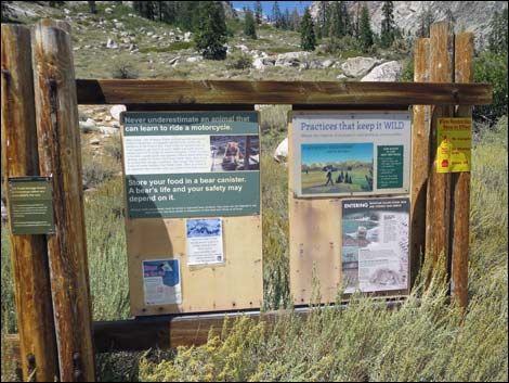 Trailhead signs (view N) |
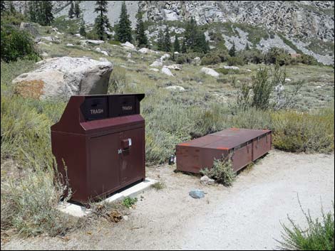 Trash cans and food storage lockers at trailhead (view NE) |
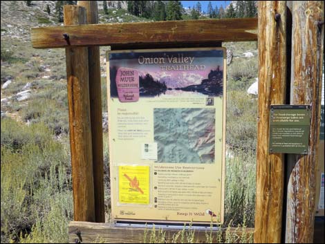
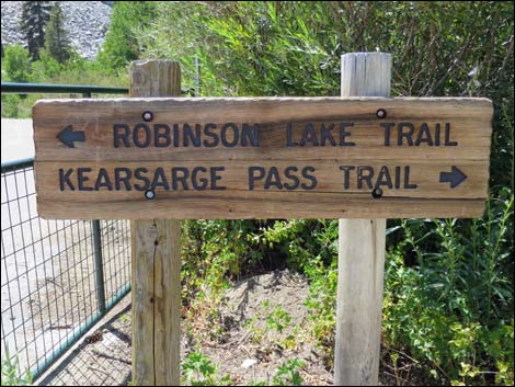 Trailhead sign (view W) |
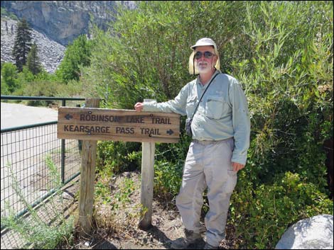 Jim at trailhead sign (view W) |
 Trailhead parking and signs (view N) |
 Departing the trailhead; my quest ends early (view W) |
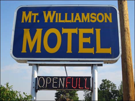 Mt. Williamson Motel sign along Highway 395 (view S) |
 Mt. Williamson Motel logo |
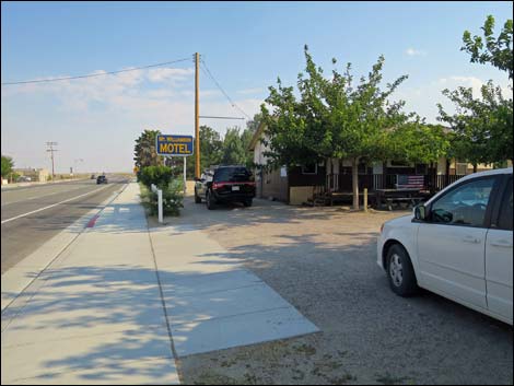 Mt. Williamson Motel sign along Highway 395 (view S) |
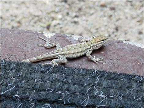 Little visitor on the door step (sagebrush lizard) |
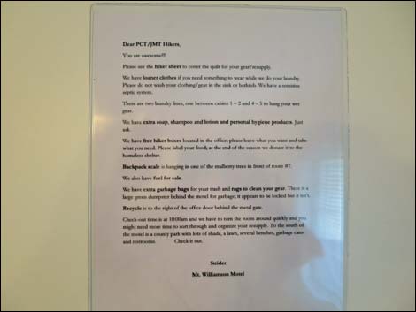 Mt. Williamson Motel room sign |
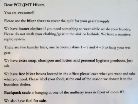 Mt. Williamson Motel room sign |
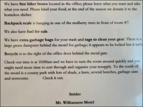 Mt. Williamson Motel room sign |
 More to come ... |
Note: All distances, elevations, and other facts are approximate.
![]() ; Last updated 170207
; Last updated 170207
| John Muir Trail | Postcards | Copyright, Conditions, Disclaimer | Home |