previous day | next day
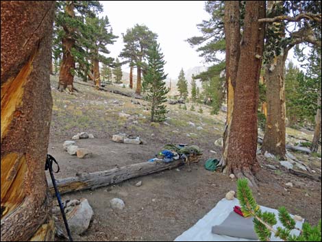
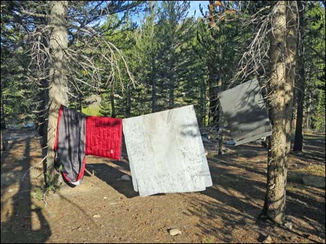 Drying gear in the early morning sunlight (view W) Drying gear in the early morning sunlight (view W) |
Day 6. Backpacking Day 5. I awoke to a sunny morning and hung my gear to dry everything out. After a slow start I hiked north on the JMT with dry gear. I hiked down Whitney Creek, then turned north over a saddle and dropped into Wallace Creek. The hail and lightning had started as I came down off the saddle, so I laid up along Wallace Creek for a couple of midday hours waiting for the storm to pass. Hiking north, I climbed over the Bighorn Plateau. Fortunately, while on this high and barren plateau, the lightning stayed off among the mountain peaks and never got too close. |
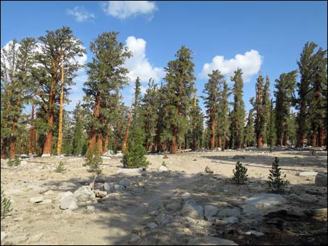
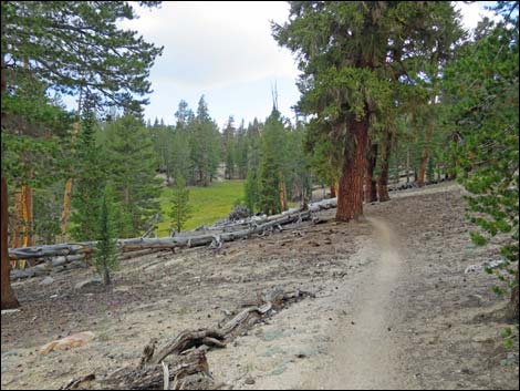
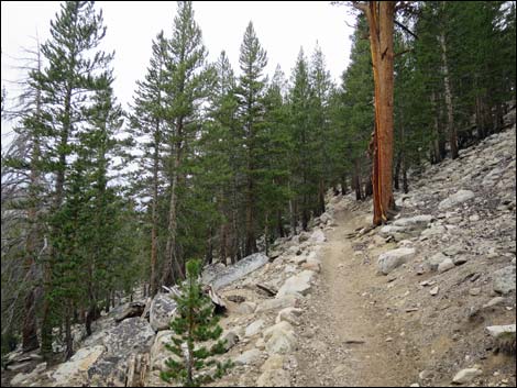
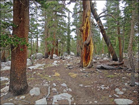
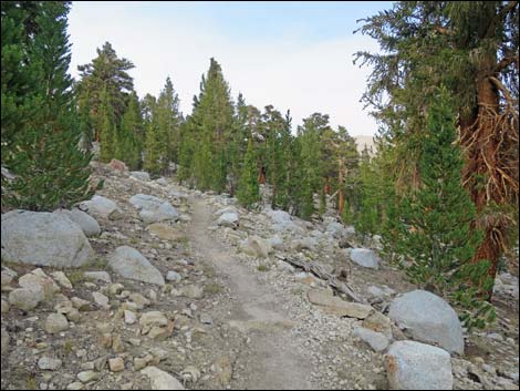
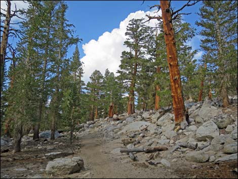 Tall trees along the trail (view W) |
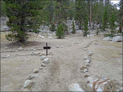
I arrived at Tyndall Creek, a popular camp area looking for a site, but the area was crowded with campers. There was one official spot left, next to the communal food storage locker, but I decided to hike on hoping to find a quiet place. I hiked up Tyndall Valley into the late evening looking for solitude, and eventually found a nice site in a small group of timberline trees near a spring. When I slid into my sleeping bag, I noticed a sore spot on the front of my right shin. Little did I know, it was the start of shin splints, which I'd never experienced, and this marked the beginning of the end of my trip. |
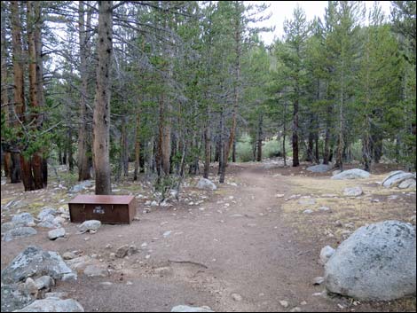
 JMT-PCT trail junction (view NW) |
 Sign at JMT-PCT trail junction (view NE) |
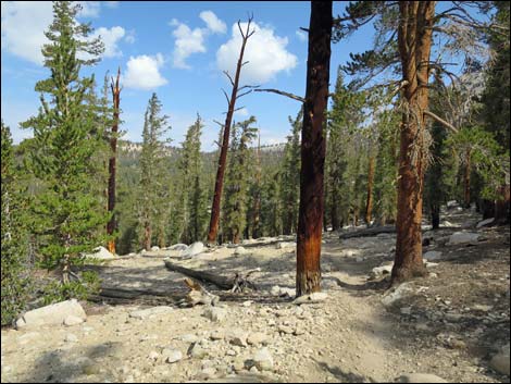
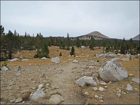
 Open woodland with a few clouds (view N) |
 Open woodland with a few more clouds (view N) |
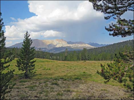 Grassy meadow with lots of clouds-the storm is building (view W) |
 Open woodland with heavy clouds (view N) |
 Tall trees, open meadow, and heavy clouds (view N) |
 Climbing towards the next highpoint with blue sky (view N) |
 Highpoint with rain (view N) |
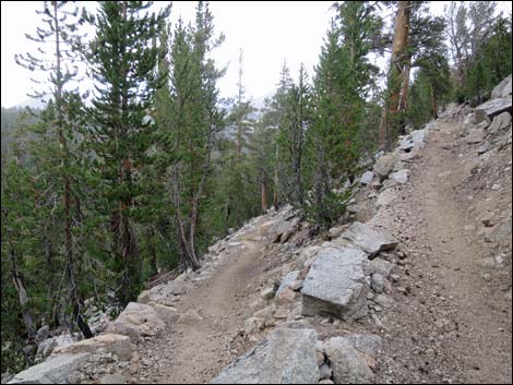 Switchbacking down in light rain (view NE) |
 Camp area at Wallace Creek crossing (view N) |
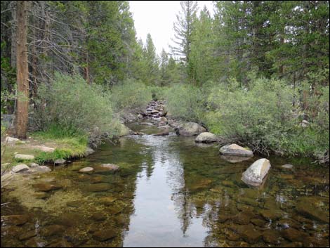 Crossing Wallace Creek (view E) |
 JMT-High Sierra Trail junction (view N) |
 Sign at JMT-High Sierra Trail junction (view SW) |
 Long gentle climb out of Wallace Creek Canyon (view W) |
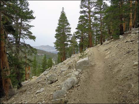 Long gentle climb out of Wallace Creek Canyon (view W) |
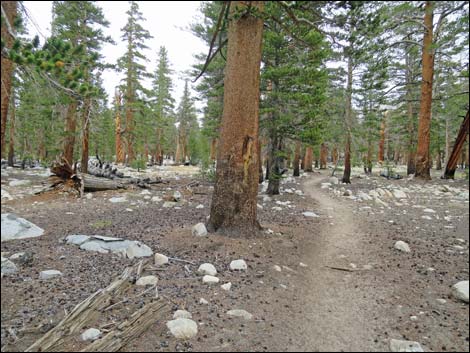 Gentle terrain with tall trees (view N) Gentle terrain with tall trees (view N) |
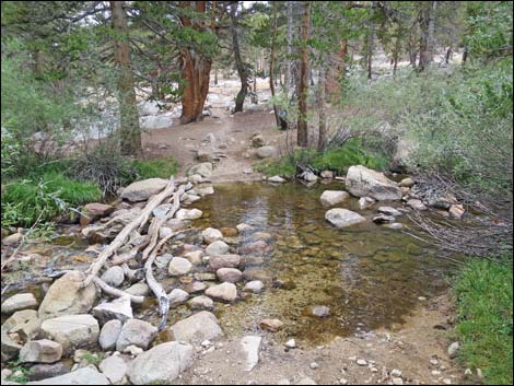 Crossing Wright Creek (view N) |
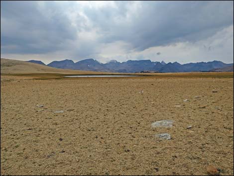
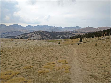
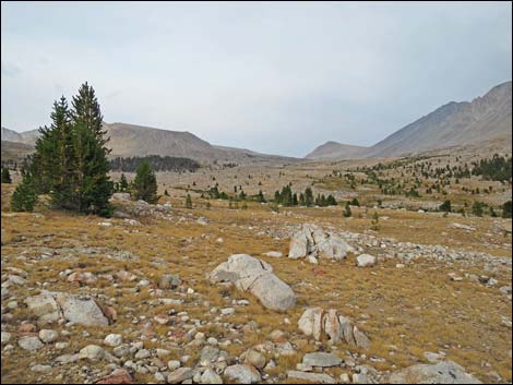
 Meadows below Bighorn Plateau (view N) |
 Meadows below Bighorn Plateau (view NE) |
 Meadows below Bighorn Plateau (view NE) |
 Meadows below Bighorn Plateau (view E) |
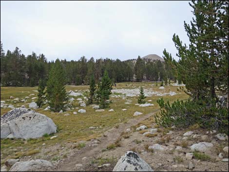 Meadows below Bighorn Plateau (view N) |
 Looking back down Meadows below Bighorn Plateau (view S) |
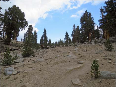
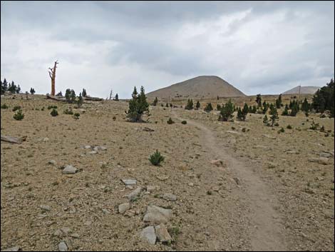
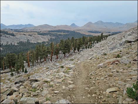
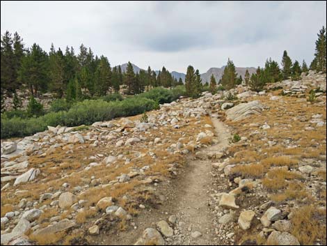
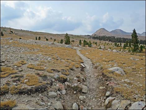
 Surprisingly steep final climb onto Bighorn Plateau (view NW) |
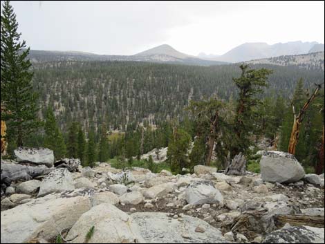
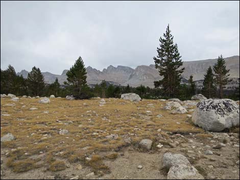
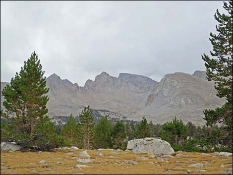
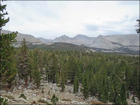 Sierra crest (view E from edge of Bighorn Plateau) |
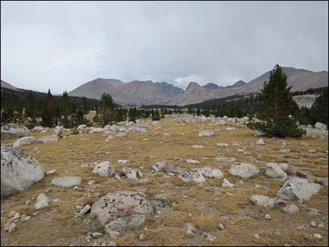
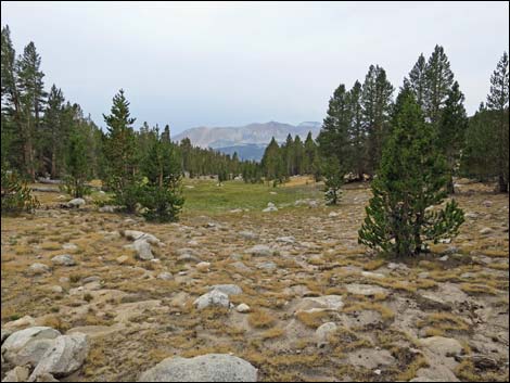
 Bighorn Plateau (view N) |
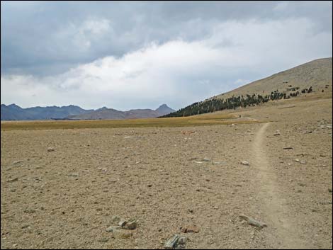 Bighorn Plateau (view N) |
 Pond on Bighorn Plateau (view W) |
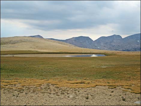 Pond on Bighorn Plateau (zoom; view N) |
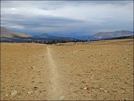 Bighorn Plateau (view N) |
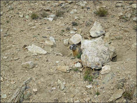 Yellow-bellied Marmot at entrance to burrow |
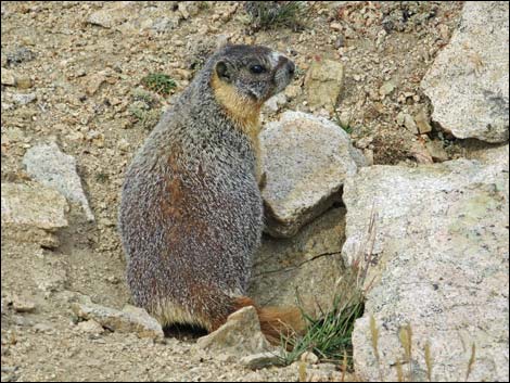 Yellow-bellied Marmot at entrance to burrow |
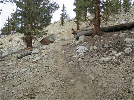
 Beginning descent off Bighorn Plateau (view N) |
 Descending off Bighorn Plateau (view NE) |
 Open woods with heavy clouds and a little hail (view N) |
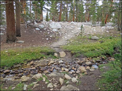 Crossing a small stream (view N) |
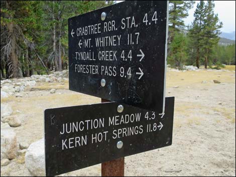
 JMT at trail to Tyndall Ranger Station (view N) |
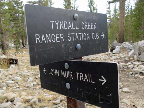 Sign at JMT at trail to Tonal Ranger Station (view SW) |
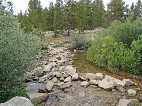
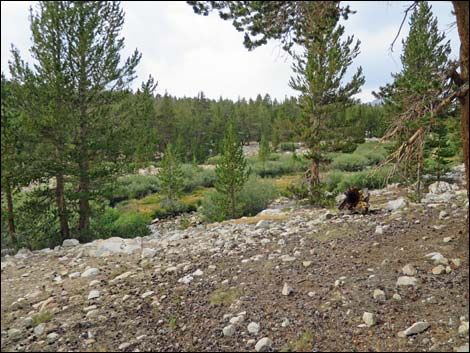 Tyndall Creek (view NW) |
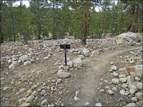
 JMT at Shepherd Pass Trail (view NE) |
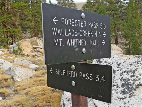 Sign at JMT at Shepherd Pass Trail (view E) |
 JMT along Tyndall Creek (view NW) |
 JMT crossing Tyndall Creek (view NW) |
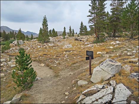
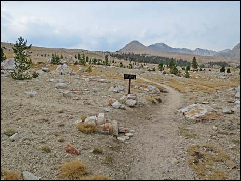 JMT at Lake South America Trail (view N) |
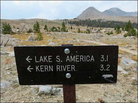 Sign at JMT at Lake South America Trail (view N) |
 Alpine Meadow |
 Trail across Alpine Meadow |
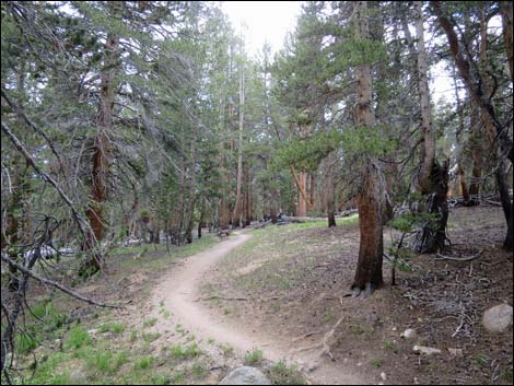
 Trail passing through last stand of trees (view NE) |
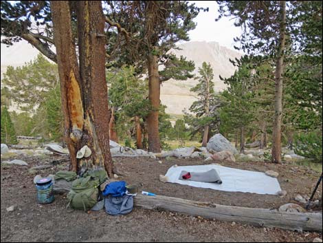 Campsite in last stand of trees (view SE) |
 Campsite in last stand of trees (view E) |
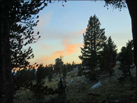 Sunset from camp (view SW) |
Note: All distances, elevations, and other facts are approximate.
![]() ; Last updated 170207
; Last updated 170207
| John Muir Trail | Postcards | Copyright, Conditions, Disclaimer | Home |