Hiking Around Las Vegas, Spring Mountains (Mt. Charleston), Lee Canyon
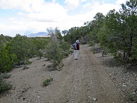
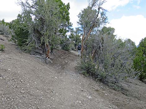
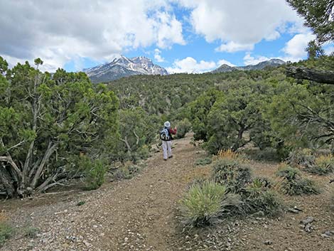
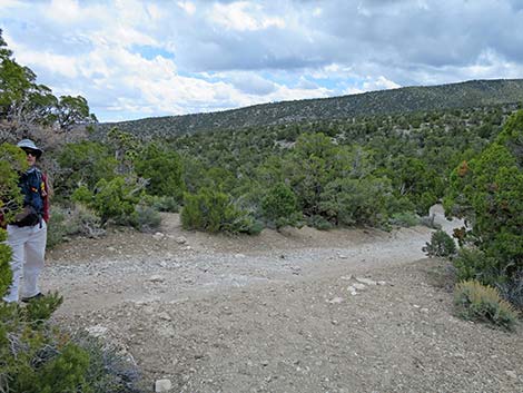
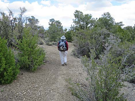
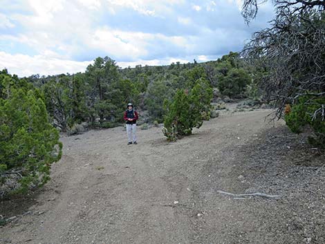
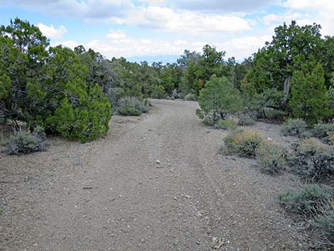
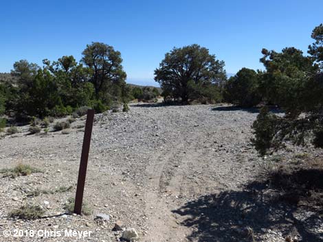
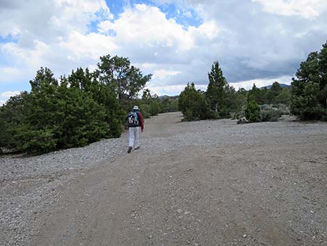
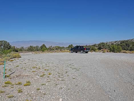
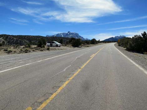
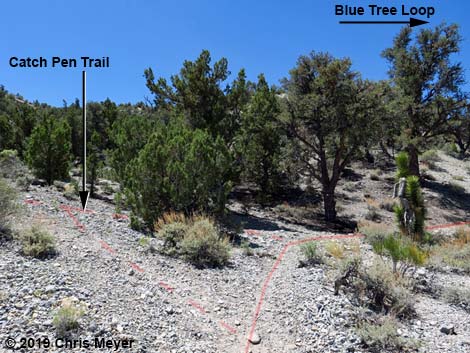
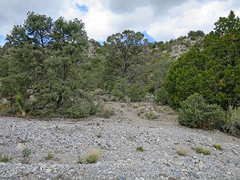
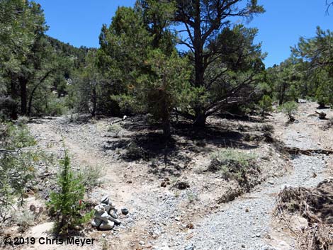
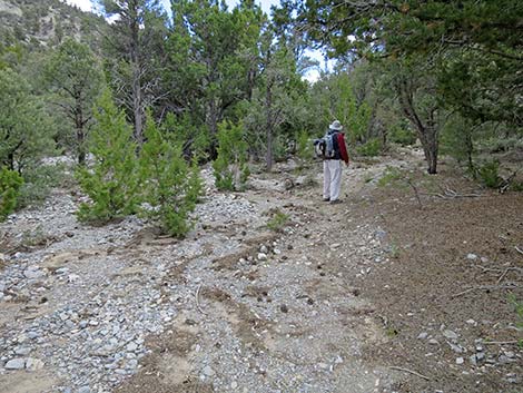
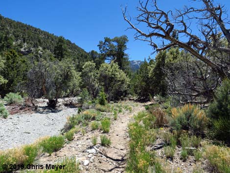
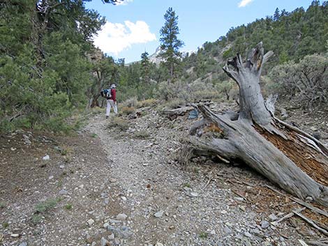
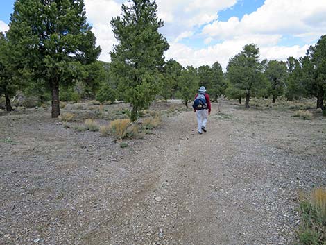
 Sawmill Trailhead (view NW; Wpt. 01) |
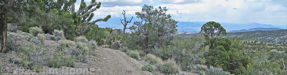
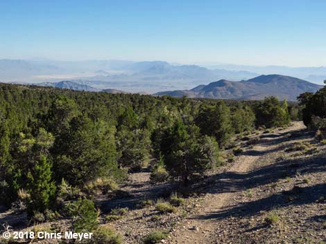
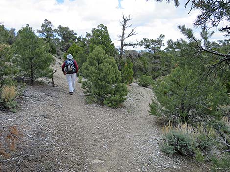
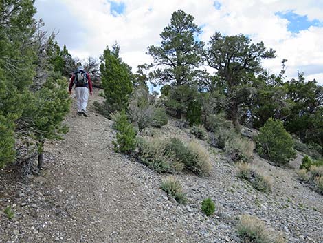
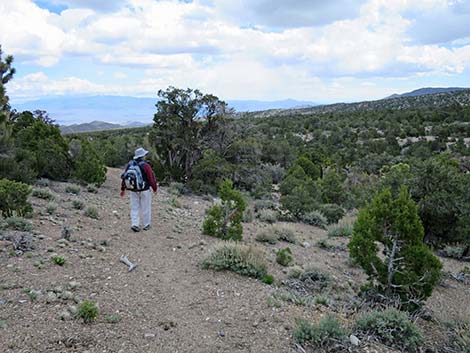
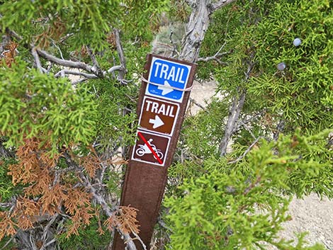
Overview The Sawmill Trails are a collection of new trails, old trails, homemade trails, closed roads, and open roads. The trails and intersections are poorly signed, and hikers need to take a good map and a GPS device if they hope to stay on a given trail (28 waypoints for this trail). That said, this is a nice hike with some grand views and plenty of shade. The Blue Tree Loop Trail is a 7.8-mile loop that starts from the Sawmill Trailhead north of Lee Canyon Road and runs out 4-1/4 miles to the northeast, crosses to the south side of Lee Canyon Road, drops into Lee Canyon, and then returns up the canyon to the trailhead. Parts of the outgoing trail are a confusing mix of trails and old roads, but it's not hard to find a way to the far end. When the trail loops back up Lee Canyon, it is a bit easier to follow, but parts of the trail in the wash were damaged by flash flooding. The trail always stays near the wash until the trail exits and climbs steeply back to Lee Canyon Road. From there, the Sawmill Picnic Area is just across the road and a bit to the left. |
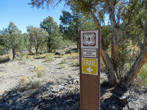
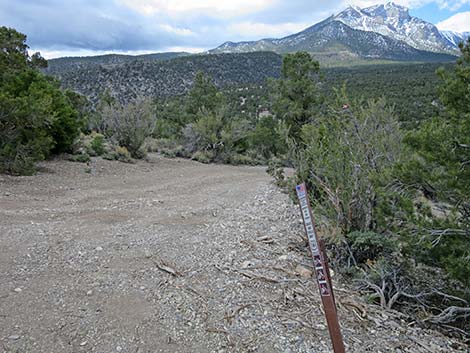
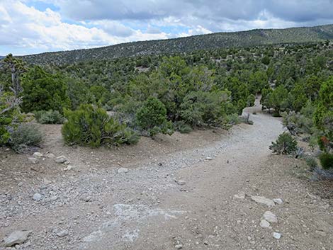
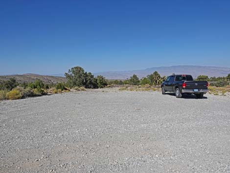
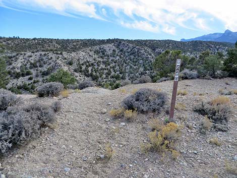
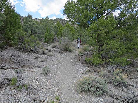
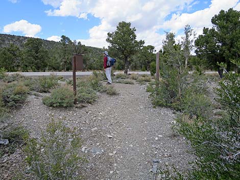
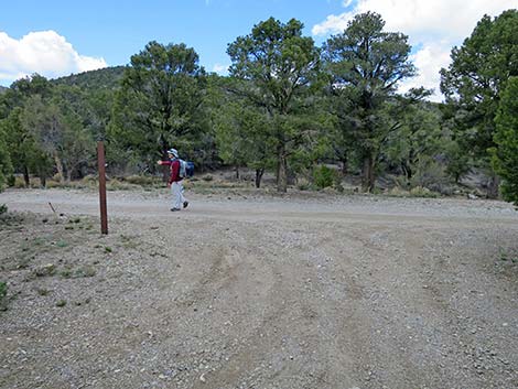
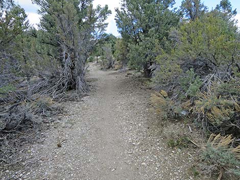
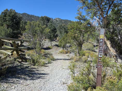 Trailhead sign (0.00 miles out; view NW) |
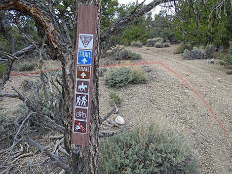
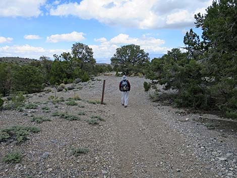
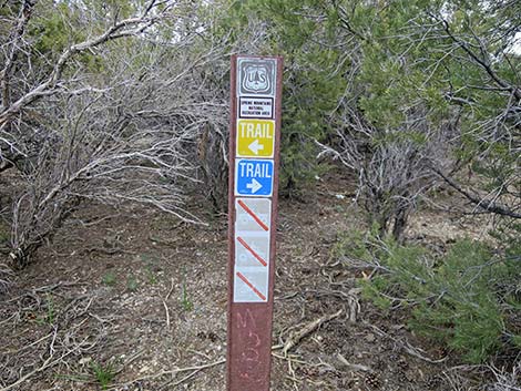
Watch Out Other than the standard warnings about hiking in the desert, ... this is a fairly safe hike without unusual hazards. However, this loop trail is located outside the Mt. Charleston Wilderness Area and is open to mountain bikes, so hikers have to watch for bikes careening down the trail. This hike is fine for kids if they can do the miles. While hiking, please respect the land and the other people out there, and try to Leave No Trace of your passage. Also, this hike is fairly long, so bring what you need of the 10 Essentials. Getting to the Trailhead The trail is located up in the Spring Mountains National Recreation Area (generally referred to as Mt. Charleston), but below Lee Canyon, about 45 minutes northwest of Las Vegas. From town, drive out to the Sawmill Trailhead. This hike starts in the Upper Picnic area near the restrooms. |
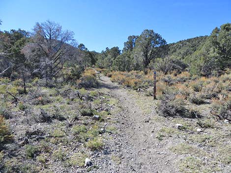
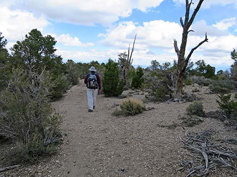
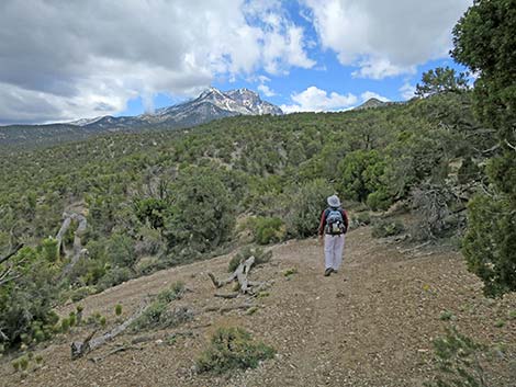
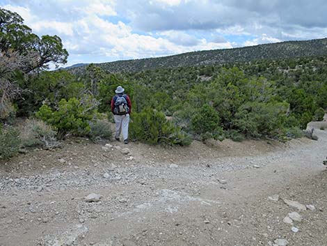
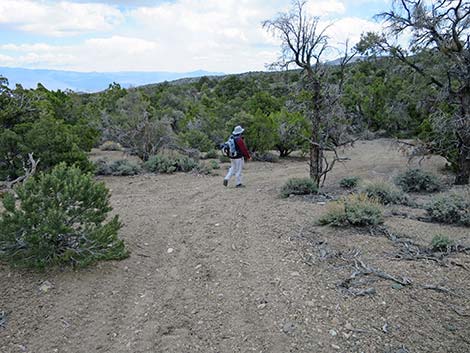
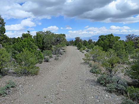
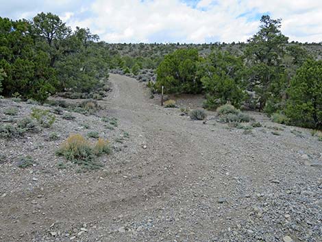
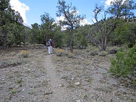
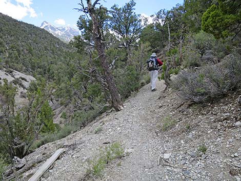
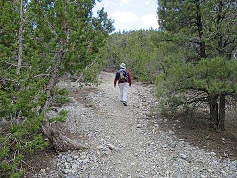
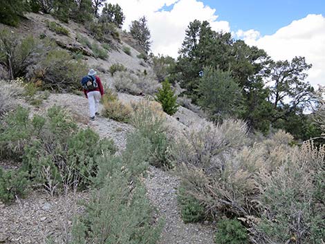
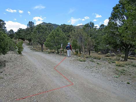
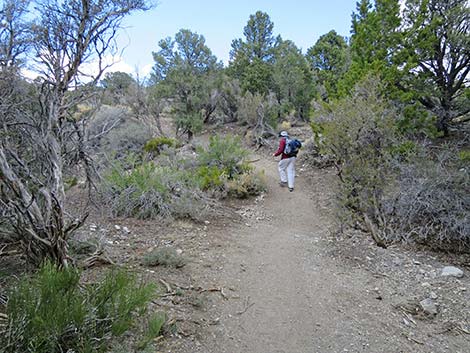
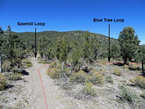 Blue Tree Loop Trail (0.02 miles out; view NE) |
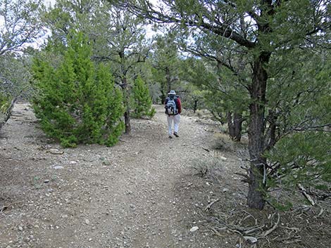
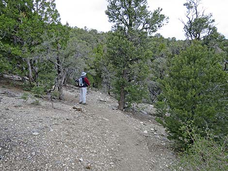
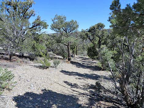
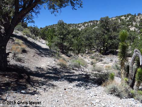
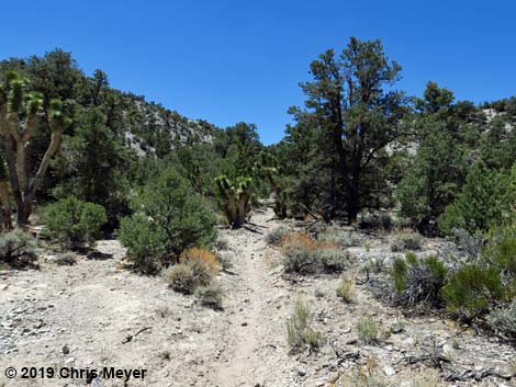
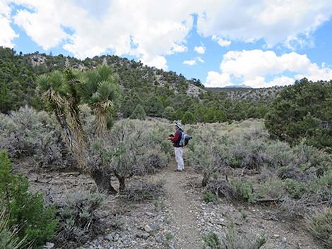
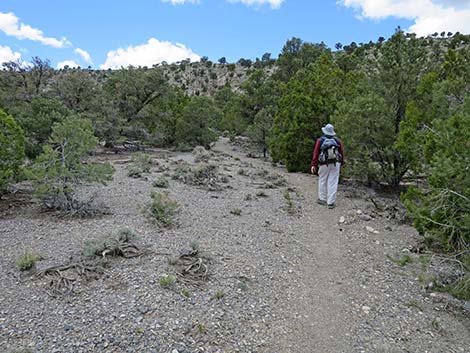
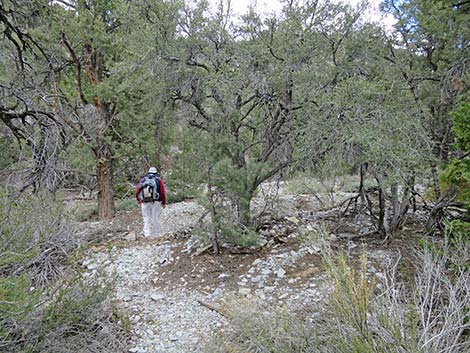
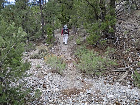
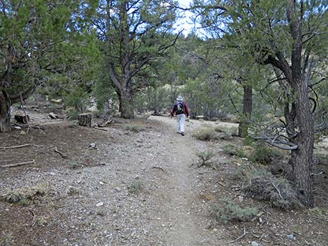
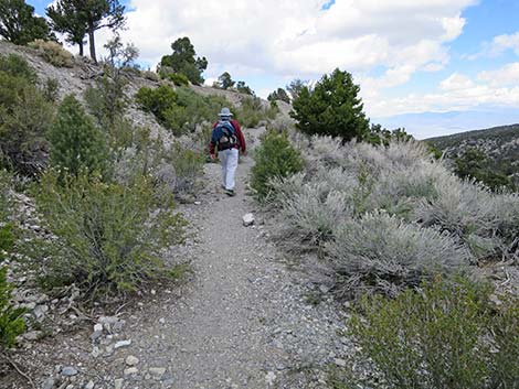
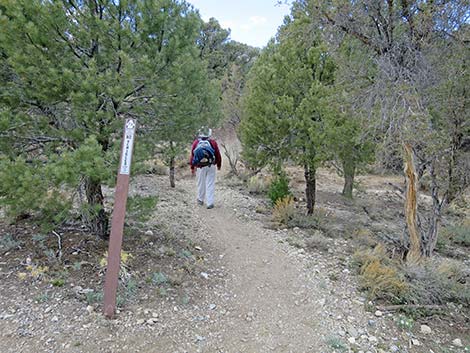
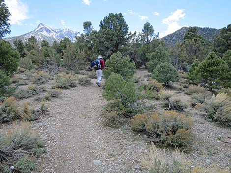
The Hike From the upper trailhead (Table 1, Waypoint 01) near the restrooms, the trail starts northwest past a carsonite trail sign and through a gap in the pole fence. After what seems like only a few steps (about 50 yards), the trail reaches a junction (Wpt. 02; 0.03 miles out). Here, the Blue Tree Loop Trail, Pinyon Pine Loop Trail, and Rocky Gorge Loop Trail all turn right to head northeast. The Sawmill Loop Trail, Big Sawmill Loop Trail, and Mud Springs Loop Trail continue straight heading northwest, although these trails could turn right and hike the loops in the opposite direction. Continuing northeast, the Blue Tree Trail runs through an open area where many of the trees and much of the ground cover has been removed to reduce the chance of fires in the picnic area spreading into the forest. As such, hikers can look right through this area and see that they are passing the lower part of the picnic area. After about 320 yards from the last intersection, Blue Tree Trail reaches a T-intersection (Wpt. 06; 0.21 miles out). |
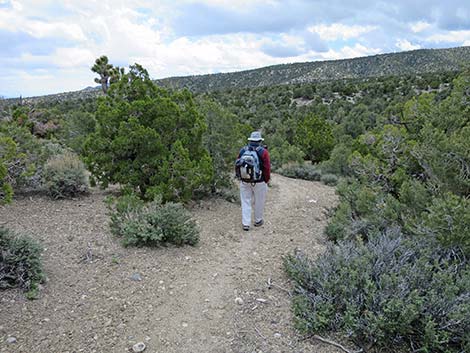
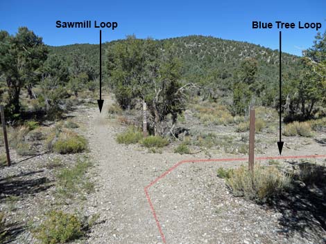 Blue Tree Loop Trail (0.02 miles out; view NE) |
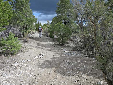
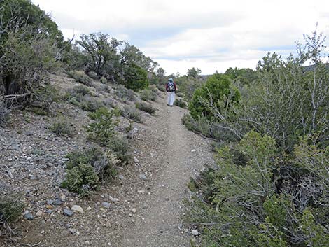
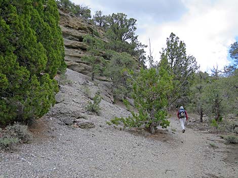
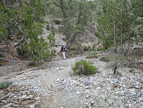
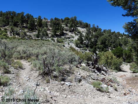
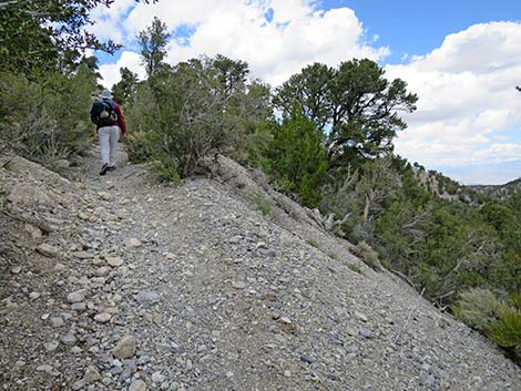
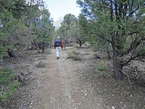
At this T-intersection (Wpt. 06), the Blue Tree Loop Trail splits to form the loop. The Blue Tree Loop Trail can be hiked in either direction, but as described here, the trail turns left. Hikers on all of the other loop trails should also turn left here. Heading west from the T-intersection, the Blue Tree Trail winds through the trees to head southwest, then northwest, and finally north climbing the hillside at gentle grades. At about 420 yards from the previous intersection, the Blue Tree Trail reaches another intersection (Wpt. 05; 0.44 miles out). Here, the Sawmill Loop Trail branches to the left and heads west eventually returning to the trailhead, while all of the other loop trails continue straight heading northeast. |
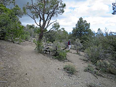
 Blue Tree Loop Trail (0.02 miles out; view NE) |
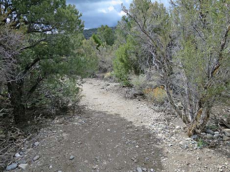
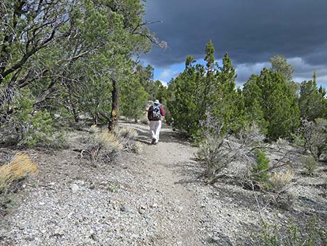
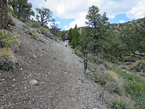
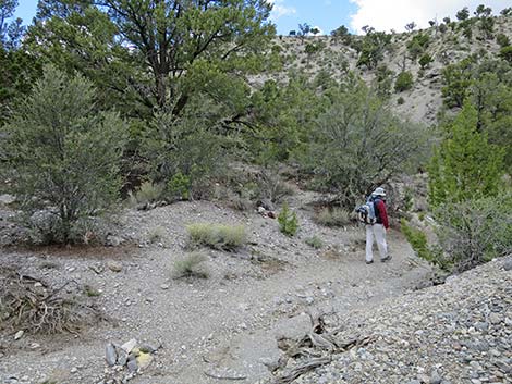
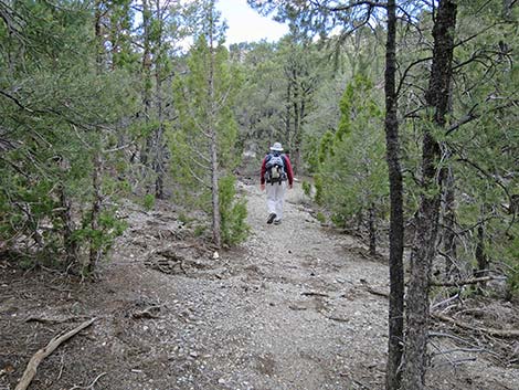
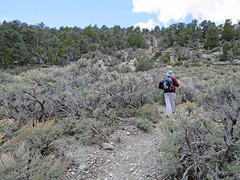
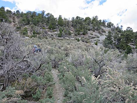
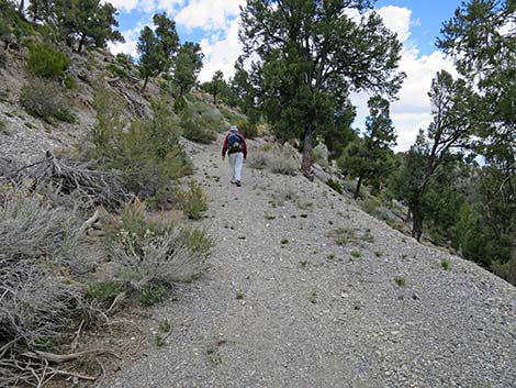
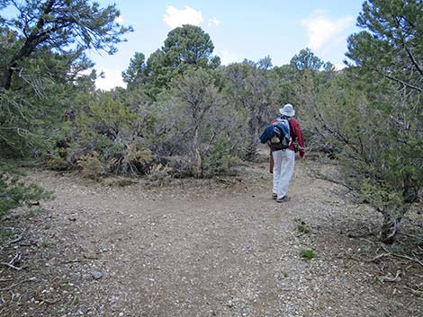
The Blue Tree Trail curves eastward across the slope, then begins descending and winds through two switchbacks. After which, the trail resumes a northeasterly direction. At about 0.81 miles out, the Blue Tree Trail reaches an intersection (Wpt. 14) where a biker-made trail branches to the right. This unauthorized trail connects with a dirt road about 30 yards to the south. In contrast to some biker-made trails, this one makes sense and can be used to make a shorter loop back to the trailhead (Wpt. 01) Continuing, the Blue Tree Trail runs generally north more-or-less running along the contour. At about 0.99 miles out, the trail bends left to run west around the back of a canyon, and then at about 1.18 miles out, the trail bends right to run east as it passes the back of another canyon. |
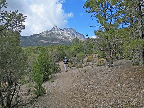
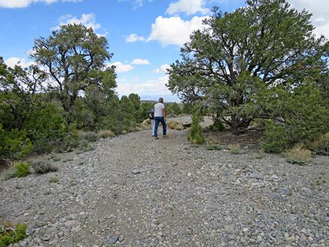
 Blue Tree Loop Trail (0.02 miles out; view E) |
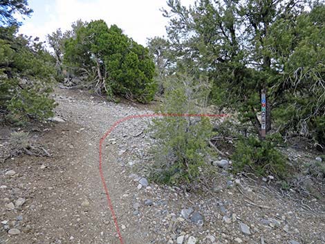
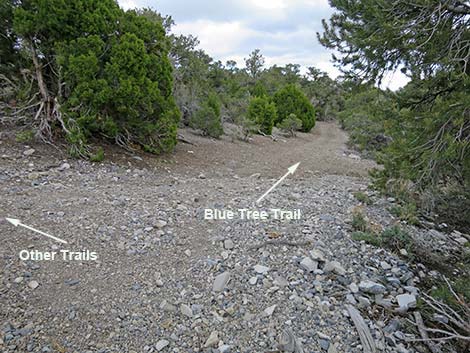
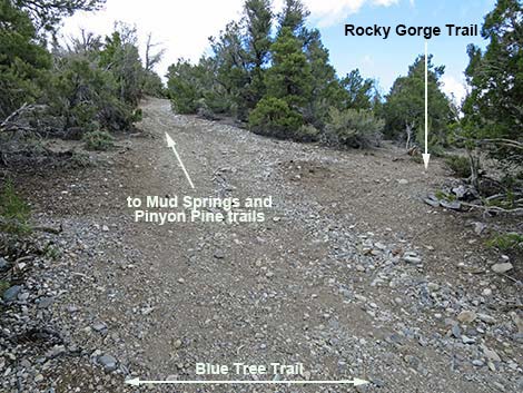
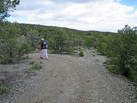
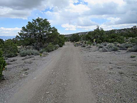
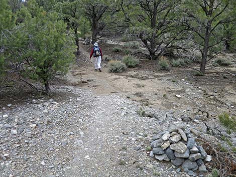
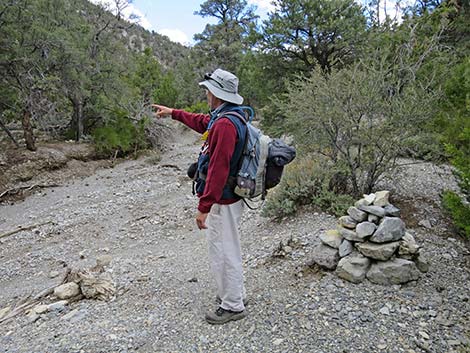
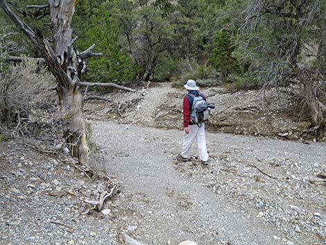
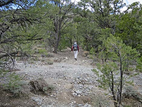
Shortly thereafter, at about 1.29 miles out, the Blue Tree Trail arrives at a 5-way, poorly signed intersection (Wpt. 48) of trails and dirt roads. The Blue Tree Trail continues straight east across the intersection on the contour. A little-used dirt road (ATV trail?) crosses perpendicular to the Blue Tree Trail (straight up and down the hillside). The road up the hill can be used to connect with the Mud Springs and Pinyon Pine trails; the road down the hill seems unused. The Rocky Gorge Loop Trail starts here and runs up across the hillside to the northeast. The Blue Tree Trail bends a bit to the right and winds down the hillside for a few yards before bending back to the northeast and continuing across the hillside. Before long, this trail comes to resemble a road, and eventually becomes an two-track road where apparently people have been trying to drive up the trail. At about 1.51 miles out, the Blue Tree Trail intersects (Wpt. 48a) a fairly well used, designated dirt road at a bend in that road. The Blue Tree Trail continues southeast on the contour merging with the road. In the other direction, this road leads down the hillside into the Blue Tree Group Campground. |
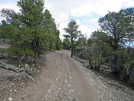
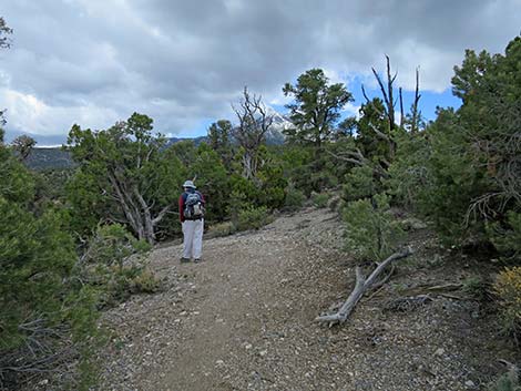
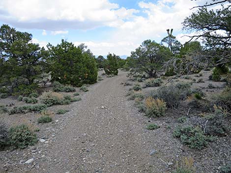
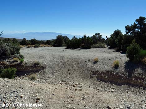
 Blue Tree Loop Trail (0.21 miles out; view NW) |
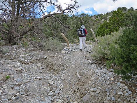
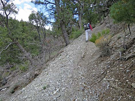
Continuing southeast a few yards, the Blue Tree Trail (on the road) bends back to the northeast and runs near the top of a south-facing ridge. The trail wraps around Peak 2256, crosses the ridge to the north-facing side, and starts down into a shallow canyon. The trail contours back onto the top of the ridge, then switchbacks to the left and returns to the bottom of the canyon where the road seems to end. Continuing as a foot trail, the Blue Tree Trail contours back out of the canyon bottom onto the next ridgeline to the north and follows this ridgeline to the northeast. In this direction, the trail loops through switchbacks at about 2.08 and 2.24 miles out. At about 2.36 miles out (Wpt. 80), the Blue Tree Trail bends right and starts a long descent, passing three switchbacks, down the hillside towards the canyon bottom below. At about 2.90 miles out, the Blue Tree Trail reaches the next road intersection (Wpt. 81). This intersection is confusing because the trail seems to merge onto the road heading down the hill, but instead the trail crosses the road at a downhill angle. Watch carefully; I've missed the trail here. |
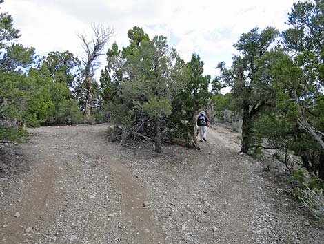
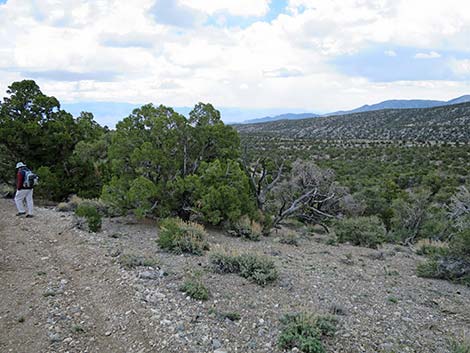
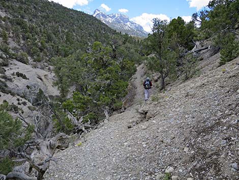
 Blue Tree Loop Trail (0.51 miles out; view NE) |
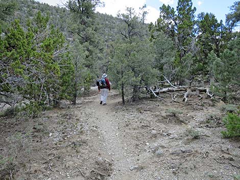
Staying on the Blue Tree Trail, hikers head down across the hillside a few yards before bending left to follow the contour. Then, at about 2.97 miles out (110 yards from the road crossing), the trail forks (Wpt. 82). Here, the Blue Tree Trail stays left to head up across the hillside, while the right fork descends to connect with a dirt road that leads back west to Lee Canyon Road. After climbing across the hillside, the trail levels, and then begins a long, gentle descent. The trail winds around the back of a canyon, then descends somewhat more steeply before resuming the gentle decline. In this area, hikers get nice views out across Lee Canyon to the southeast. At about 3.35 miles out, the Blue Tree Trail reaches the next road intersection (Wpt. 83). This intersection is confusing, but mostly for hikers heading in the opposite direction. Here, the trail merges with the road and heads downhill. |
 Blue Tree Loop Trail (0.52 miles out; view S) |
After only a few steps (20 yards), about 3.37 miles out, the Blue Tree Trail reaches another road intersection (Wpt. 83a). This intersection is also confusing, but mostly for hikers heading in the opposite direction. Here, the trail turns left and follows the road eastward. For hikers heading in the opposite direction, the problem is turning onto the trail rather than following the road, which eventually leads to Blue Tree Group Campground. Continuing east on the dirt road, the Blue Tree Trail runs across gentle rolling terrain until reaching another road intersection (Wpt. 84; 3.95 miles out). The Blue Tree Trail continues straight across the T-intersection continuing northeast. Shortly, the trail drops through a ditch and climbs out into a large campsite. The trail follows the dirt road around the campsite bending to the southeast. The Blue Tree Trail stays on the well-used dirt road heading southeast until reaching a gravel pit. The trail follows around the north side of the gravel pit and arrives at the Gravel Pit Trailhead parking area, on the left (Wpt. 55; 4.24 miles out). The Rocky Gorge Loop Trail starts here and runs northeast down the wash. |
 Blue Tree Loop Trail (0.67 miles out; view NE) |
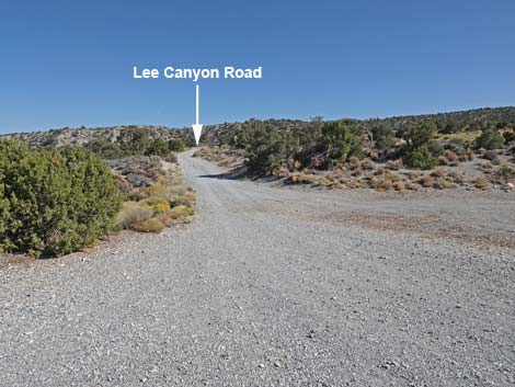
The Blue Tree Trail continues on the well-used dirt road heading south until reaching Lee Canyon Road (Wpt. 60; 4.33 miles out), which is paved and where vehicles pass by at 70 mph or better. Walking directly across Lee Canyon Road, a faint use-trail leads 30 yards through the shrubs to the old highway, which is still paved. Here, hikers turn right and walk uphill about 250 yards to where the old highway merges with the modern one. In another 30 yards, hikers arrive at an unpaved pullout (Wpt. 61) on the left. From the unpaved pullout, the Blue Tree Trail heads over the lip of the canyon to drop steeply across the slope into the wash below. At the bottom of the slope, the trail stays along the base of the hillside for about 100 yards until turning south and crossing Lee Canyon Wash (4.75 miles out). |
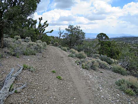
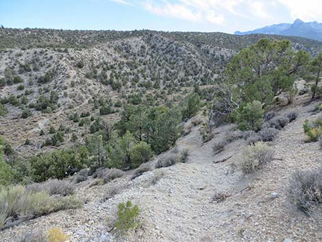
 Trail continues straight (0.81 miles out; view N) |
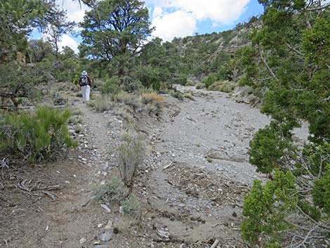
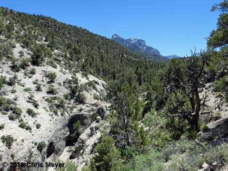
The Blue Tree Trail crosses the wash and climbs out the far side 70 yards to a trail junction (Wpt. 62; 4.79 miles out). Here, the Deer Creek portion of the Deer Creek -- Catch Pen Loop Trail comes in from the left. Hikers can use this trail to climb into the woods emerging on Deer Creek Road a bit south of Desert View Overlook. Bending right at the trail junction, the Blue Tree Trail begins a long run up the canyon. There are no cross roads or other trails in the canyon bottom, so this part of the Blue Tree Loop is easier to follow. Heading up the canyon, however, there are many wash crossings, and many of these are washed out. As such, following the trail exactly required careful attention, but hikers always are heading up the canyon, and there are lots of cairns to follow at wash crossings. From the trail junction (Wpt. 62), the Blue Tree Trail runs along the south side of the wash. At about 4.94 miles out, the trail crosses the wash to the north side, then at about 5.01 miles out, crosses back to the south side. |
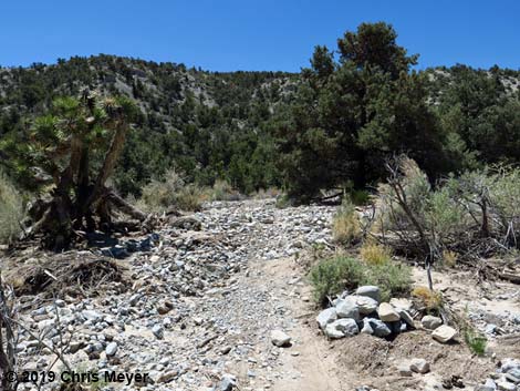
 Not the trail (0.81 miles out; view SE) |
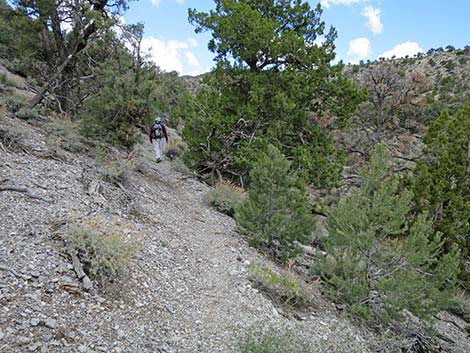
Continuing up Lee Canyon, the trail crosses some side canyons where the trail is washed out, but these are not hard to pass. As the canyon narrows and the walls steepen, the Blue Tree Trail again crosses the wash (Wpt. 63) to the north side at about 6.33 miles out. Watch for cairns. The Blue Tree Trail stays on the north side of the wash until about 6.52 miles out where it again crosses the wash (Wpt. 64) to the south side. Again, watch for cairns, but here the trail bends hard to the left to run down the wash a few steps before climbing out the other side. The trail resumes along the base of the cliffs. Before long, the Blue Tree Trail again crosses to the north side of the wash (Wpt. 65; 6.65 miles out). Across the wash, the trail starts climbing up across the hillside at the steepest grade on the entire hike. The trail climbs to a highpoint, then drops back into the canyon bottom. This "detour" from the wash is to pass a series of pour-overs in the narrow canyon bottom. Near the top of the climb, hikers get good views down into the narrows. |
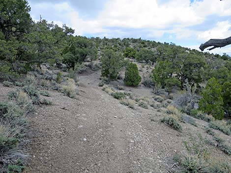
 Blue Tree Loop Trail (0.83 miles out; view N) |
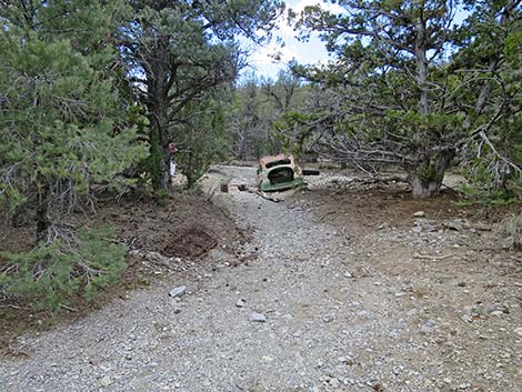
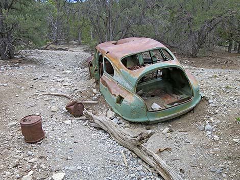
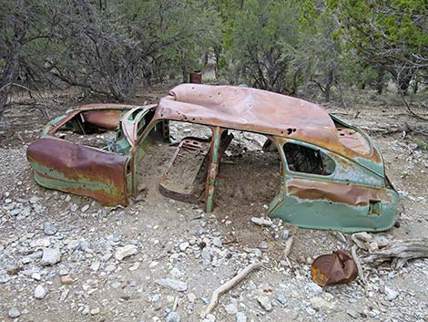
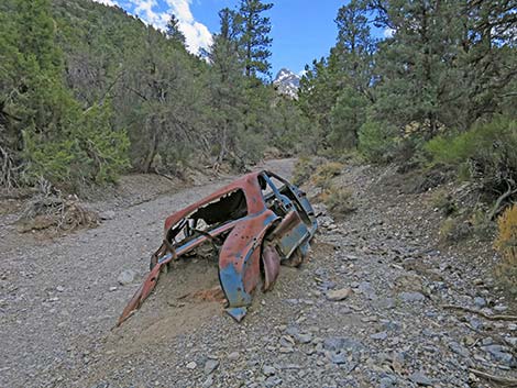
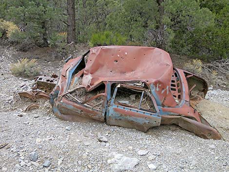
Back in the bottom of the canyon, the Blue Tree Trail stays on the north side of the wash for the duration of the hike. At about 7.04 miles out, hikers pass an old car ravaged by floodwater. A bit farther up the wash (spur trail at 7.07 miles out), hikers can detour down to the wash to see another old car half buried in the gravel. Continuing up the wash, the trail enters a big patch of tall Big Sagebrush without any trees that have grown up on an old gravel pit. Here, at about 7.14 miles out, the trail climbs out of the wash bottom and curves (Wpt. 66) hard to the right. This begins the steep climb out of the canyon following the old gravel pit road. The wrecked cars in the wash probably came from this gravel pit. |
 Blue Tree Loop Trail (0.99 miles out; view NW) |
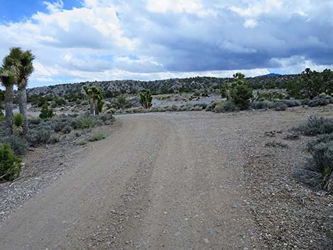
From the sagebrush patch, there appear to be some options for climbing out, but the old road is the only route that makes sense. Heading nearly due north, the trail climbs steeply to the edge of Lee Canyon Road (Wpt. 67; 7.36 miles out). Crossing diagonally to the left across Lee Canyon Road, the trail passes a highway sign and follows another dirt road northward to a road intersection (Wpt. 68; 7.40 miles out). Tired hikers can just turn left onto this dirt road and walk back into the bottom of Sawmill Picnic Area. The Blue Tree Trail, however, crosses this road intersection diagonally to the left and picks up the trail, which is now heading due west. |
 Blue Tree Loop Trail (1.23 miles out; view E) |
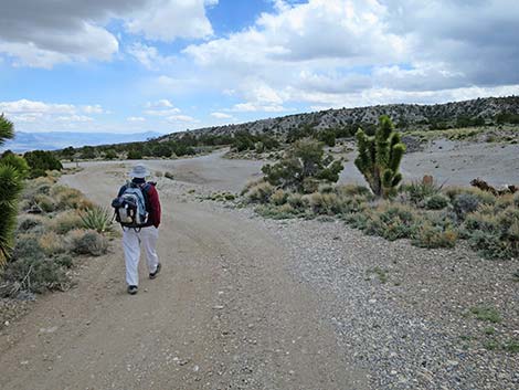
The Blue Tree Trail quickly reaches a trail junction (Wpt. 69; 7.53 miles out). The Blue Tree Trail stays right (west) while the fork to the left runs south into the bottom of Sawmill Picnic Area. Continuing west, the Blue Tree Trail quickly reaches another trail junction (Wpt. 06; 7.60 miles out). This intersection closes the loop on the Blue Tree Loop Trail. Turning left, hikers might notice their outgoing footprints in the dust. Passing Sawmill Picnic Area, on the left, hikers soon arrive at a T-intersection (Wpt. 02; 7.78 miles out), the final turn on the trail. Quickly, the Blue Tree Trail ends as hikers return the Sawmill Trailhead (Wpt. 01; 7.81 miles out). |
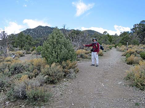
 Approaching 5-way intersection (1.29 miles out; view NE) |
 Middle of 5-way intersection (1.29 miles out; view E) |
 Middle of 5-way intersection (1.29 miles out; view NE) |
 Confusing trail intersection sign (1.29 miles out; view NE) |
 Middle of 5-way intersection (1.29 miles out; view E) |
 Side road -- not the trail (1.29 miles out; view S) |
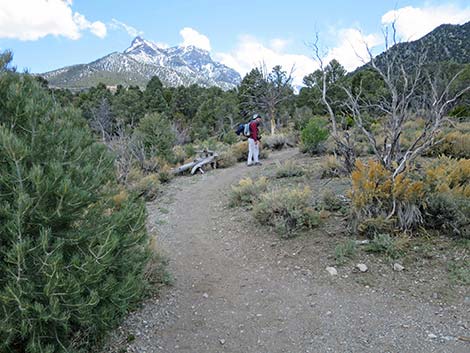
 Blue Tree Loop Trail (1.33 miles out; view SE) |
 Blue Tree Loop Trail (1.44 miles out; view NE) |
 Merging onto dirt road (1.51 miles out; view SE) |
 Dirt road -- not the trail (1.51 miles out; view SW) |
 Blue Tree Loop Trail (1.55 miles out; view NE) |
 Not a fork in the road (1.56 miles out; view NE) |
 Blue Tree Loop Trail (1.66 miles out; view NE) |
 Blue Tree Loop Trail (1.71 miles out; view NE) |
 Blue Tree Loop Trail (1.75 miles out; view N) |
 Random trail marker (1.75 miles out; view NE) |
 The road seems to just end (1.82 miles out; view NE) |
 Blue Tree Loop Trail (1.94 miles out; view N) |
 Blue Tree Loop Trail (2.24 miles out; view S) |
 Blue Tree Loop Trail (2.30 miles out; view SE) |
 Blue Tree Loop Trail (2.39 miles out; view SW) |
 Blue Tree Loop Trail (2.41 miles out; view SW) |
 Blue Tree Loop Trail (2.47 miles out; view NE) |
 Blue Tree Loop Trail (2.80 miles out; view N) |
 Trail crosses road (2.90 miles out; view SE) |
 Road--not the trail (2.90 miles out; view S) |
 Trail continues across road (2.90 miles out; view SE) |
 Trail continues across slope (2.91 miles out; view SE) |
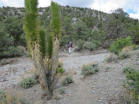
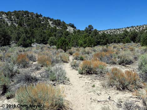
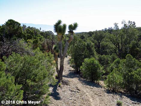 6912 ft elevation -- high elevation Joshua Tree (2.95 miles out) |
 Trail forks; stay left (2.97 miles out; view NE) |
 Blue Tree Loop Trail (2.98 miles out; view NE) |
 Blue Tree Loop Trail (3.05 miles out; view SE) |
 Blue Tree Loop Trail (3.27 miles out; view NE) |
 Trail merges onto a road (3.35 miles out; view E) |
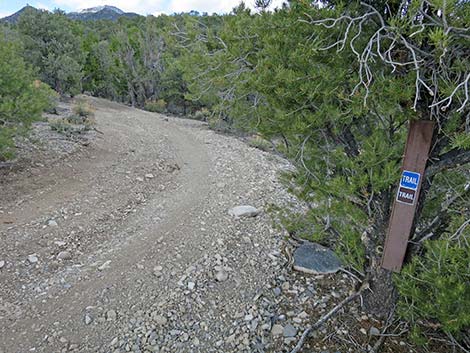
 Looking back at trail sign (3.35 miles out; view N) |
 Road up the hill--not the trail (3.35 miles out; view N) |
 Trail goes down road to next road (3.35 miles out; view S) |
 Hiker at next road intersection (3.37 miles out; view S) |
 Looking back at trail sign (3.38 miles out; view W) |
 Trail turns left onto next road (3.38 miles out; view E) |
 Looking back to previous trail junction (3.38 miles out; view N) |
 Trail continues on road (3.38 miles out; view E) |
 Blue Tree Loop Trail (3.57 miles out; view NE) |
 Blue Tree Loop Trail (3.77 miles out; view E) |
 Hiker approaching road intersection (3.94 miles out; view NE) |
 Trail continues straight at road intersection (3.95 miles out; view NE) |
 Looking up side road--not the trail (3.95 miles out; view N) |
 Trail continues straight across road intersection (view NE) |
 Trail dips through gully into campsite (3.96 miles out; view NE) |
 Hiker passing campsite (3.98 miles out; view SE) |
 Blue Tree Loop Trail (4.02 miles out; view SE) |
 Blue Tree Loop Trail (4.18 miles out; view SE) |
 Road stays left around gravel pit (4.19 miles out; view SE) |
 Gravel pit (4.20 miles out; view SE) |
 Approaching Gravel Pit Trailhead parking (4.23 miles out; view E) |
 Gravel Pit Trailhead parking (4.24 miles out; view E) |
 Passing trailhead heading towards Lee Canyon Road (view S) |
 Trail runs up Lee Canyon Road (4.45 miles out; view SW) |
 Trail runs off edge of canyon (4.50 miles out; view SW) |
 Trail drops into Lee Canyon (4.51 miles out; view SW) |
 Trail crosses wash (4.75 miles out; view SW) |
 Trail junction (4.79 miles out; view SW) |
 View west from trail junction (4.79 miles out; view SW) |
 Hiker departing trail junction (4.80 miles out; view SW) |
 Hiker at wash crossing (4.93 miles out; view W) |
 Wash crossing (4.94 miles out; view W) |
 Trail runs on north side of wash (4.95 miles out; view SW) |
 Crossing wash to south side (5.01 miles out; view S) |
 Trail on south side of wash (5.03 miles out; view S) |
 Blue Tree Loop Trail (5.19 miles out; view S) |
 Entering a patch of sagebrush (5.23 miles out; view SW) |
 Patch of sagebrush (5.25 miles out; view W) |
 Trail on side of hill (5.48 miles out; view SW) |
 Trail in canyon bottom (5.62 miles out; view W) |
 Trail passes below layered cliffs (5.90 miles out; view S) |
 Crossing side wash with cairn (6.00 miles out; view W) |
 Crossing another side wash (6.20 miles out; view W) |
 Lots of little side washes (6.26 miles out; view SW) |
 Trail on north side of wash (6.35 miles out; view SW) |
 Wash crossing; trail goes down the wash (6.51 miles out; view SW) |
 Trail goes down the wash (6.51 miles out; view SE) Trail goes down the wash (6.51 miles out; view SE) |
 Trail crosses the canyon bottom (6.52 miles out; view SE) |
 Trail crosses the canyon bottom (6.54 miles out; view SW) |
 Blue Tree Loop Trail (6.58 miles out; view W) |
 Crossing wash to north side (6.59 miles out; view W) |
 Parts of the trail are washed away (6.63 miles out; view SW) |
 Trail abruptly starts up and across hillside (6.67 miles out; view SW) |
 Trail climbs up and across hillside (6.68 miles out; view SW) |
 Steepest part of Blue Tree Trail Loop Trail (6.73 miles out; view SW) |
 Not so steep trail (6.78 miles out; view SW) |
 Canyon narrows are visible below (6.78 miles out; view SW) |
 Trail traverses side-slope above narrows (6.80 miles out; view SW) |
 Trail returns to canyon bottom (6.94 miles out; view SW) |
 Trail runs along the wash (7.00 miles out; view SW) |
 Approaching wrecked car (7.03 miles out; view SW) |
 Wrecked car (7.04 miles out; view S) |
 Wrecked car (7.04 miles out; view NW) |
 Continuing past wrecked car (7.06 miles out; view SW) |
 Another wrecked car in the wash (7.07 miles out; view S) |
 Another wrecked car in the wash (7.07 miles out; view NW) |
 Trail on north side of wash (7.11 miles out; view SW) |
 Trail abruptly exits wash bottom (7.13 miles out; view S) |
 Trail climbs out of wash into sagebrush (7.14 miles out; view NW) |
 Hiker in sagebrush patch (7.14 miles out; view NW) |
 Trail runs through tall sagebrush (7.15 miles out; view NW) |
 Hiker at top of sagebrush patch (7.18 miles out; view NW) |
 Steep trail follows old gravel pit road (7.21 miles out; view N) |
 Steep trail follows old gravel pit road (7.24 miles out; view N) |
 Steep trail follows old gravel pit road (7.28 miles out; view NE) |
 Steep trail approaching top of slope (7.30 miles out; view NE) |
 Hiker at top of slope (7.34 miles out; view NE) |
 Trail crosses back over Lee Canyon Road (7.35 miles out; view W) |
 Trail crosses past highway sign (7.35 miles out; view W) |
 Dirt road starts by highway sign (7.37 miles out; view W) |
 Trail follows dirt road (7.38 miles out; view N) |
 Trail at road intersection (7.40 miles out; view NW) |
 Trail diagonals across dirt road (7.40 miles out; view W) |
 Trail continues past road (7.41 miles out; view W) |
 Blue Tree Loop Trail (7.45 miles out; view SW) |
 Blue Tree Loop Trail (7.50 miles out; view S) |
 Hiker passing shortcut into Lower Sawmill Parking (4.53 miles out) |
 Sign at trail junction (7.53 miles out; view E) |
 Trail continues past junction (7.53 miles out; view W) |
 Blue Tree Loop Trail (7.58 miles out; view NW) |
 Trail junction--closing the loop (7.60 miles out; view NW) |
 Trail continues towards trailhead (7.60 miles out; view SW) |
Table 2. Hiking Coordinates Based on GPS Data (NAD27; UTM Zone 11S). Download Hiking GPS Waypoints (*.gpx) file.
| Wpt. | Location | UTM Easting | UTM Northing | Elevation (ft) | Point-to-Point Distance (mi) | Cumulative Distance (mi) |
|---|---|---|---|---|---|---|
| 01 | Sawmill Trailhead | 621985 | 4023976 | 7,591 | 0.00 | 0.00 |
| 02 | Trail Junction | 621948 | 4023991 | 7,589 | 0.03 | 0.03 |
| 06 | Trail Junction | 622074 | 4024204 | 7,593 | 0.18 | 0.21 |
| 05 | Trail Junction | 621861 | 4024286 | 7,657 | 0.23 | 0.44 |
| 14 | Trail Junction | 622157 | 4024602 | 7,358 | 0.37 | 0.81 |
| 48 | Trail Junction | 622164 | 4025079 | 7,551 | 0.48 | 1.29 |
| 48a | Merge onto Dirt Road | 622467 | 4025165 | 7,374 | 0.22 | 1.51 |
| 80 | Ridgeline | 622774 | 4026042 | 7,129 | 0.86 | 2.37 |
| 81 | Cross Dirt Road | 623182 | 4026150 | 6,919 | 0.53 | 2.90 |
| 82 | Trail Forks | 623280 | 4026153 | 6,919 | 0.07 | 2.97 |
| 83 | Merge onto Dirt Road | 623622 | 4026577 | 6,775 | 0.38 | 3.35 |
| 83a | Road Intersection | 623637 | 4026569 | 6,769 | 0.01 | 3.36 |
| 84 | Exit Old Road | 624248 | 4027130 | 6,575 | 0.59 | 3.95 |
| 85 | Dirt Road | 624302 | 4027152 | 6,570 | 0.04 | 3.99 |
| 55 | Gravel Pit Trailhead | 624653 | 4027029 | 6,529 | 0.25 | 4.24 |
| 60 | Enter Lee Cyn Road | 624754 | 4026938 | 6,581 | 0.09 | 4.33 |
| 61 | Exit Lee Cyn Road | 624614 | 4026747 | 6,608 | 0.16 | 4.49 |
| 62 | Trail Junction | 624506 | 4026366 | 6,591 | 0.30 | 4.79 |
| 63 | Trail Crosses Wash | 622963 | 4024911 | 7,013 | 1.53 | 6.32 |
| 64 | Trail Crosses Wash | 622843 | 4024677 | 7,095 | 0.20 | 6.52 |
| 65 | Trail Crosses Wash | 622741 | 4024552 | 7,136 | 0.13 | 6.65 |
| 66 | Exit Wash | 622363 | 4023964 | 7,339 | 0.49 | 7.14 |
| 67 | Cross Lee Cyn Rd | 622356 | 4024260 | 7,402 | 0.22 | 7.36 |
| 68 | Cross Dirt Road | 622322 | 4024311 | 7,398 | 0.04 | 7.40 |
| 69 | Trail Junction | 622168 | 4024216 | 7,431 | 0.13 | 7.53 |
| 06 | Trail Junction | 622074 | 4024204 | 7,593 | 0.07 | 7.60 |
| 02 | Trail Junction | 621948 | 4023991 | 7,589 | 0.18 | 7.78 |
| 01 | Sawmill Trailhead | 621985 | 4023976 | 7,591 | 0.03 | 7.81 |
Happy Hiking! All distances, elevations, and other facts are approximate.
![]() ; Last updated 240329
; Last updated 240329
| Hiking Around Mt Charleston | Hiking Around Las Vegas | Glossary | Copyright, Conditions, Disclaimer | Home |