Hiking Around Las Vegas, Lake Mead National Recreation Area
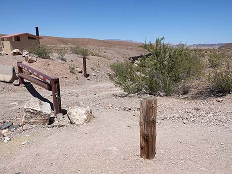
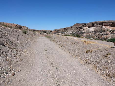
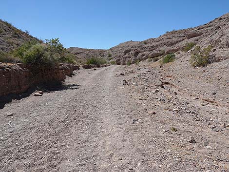
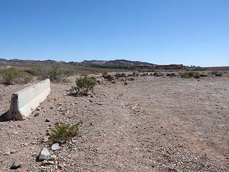
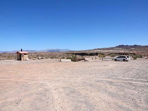 Wetlands Trail trailhead parking (view E) |
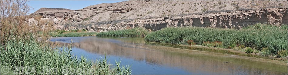
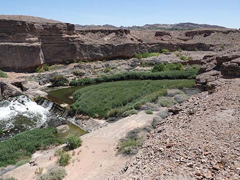
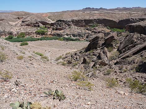
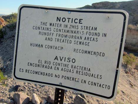
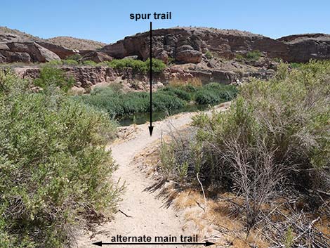
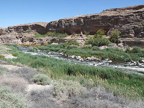
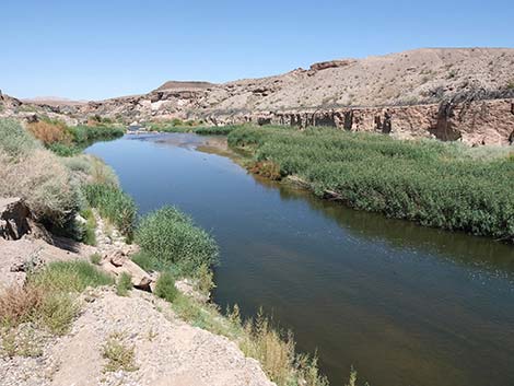
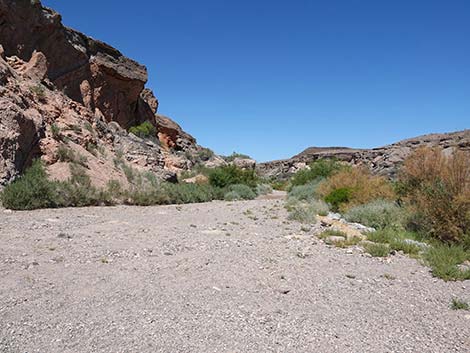
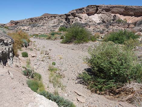
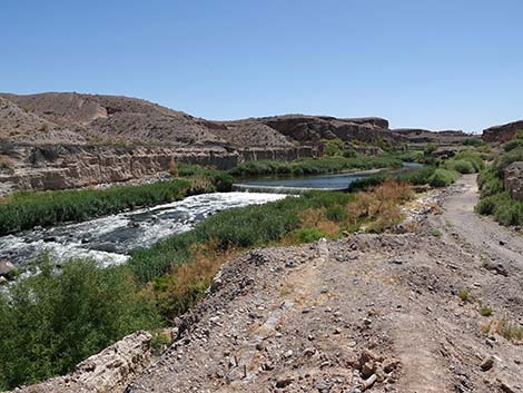
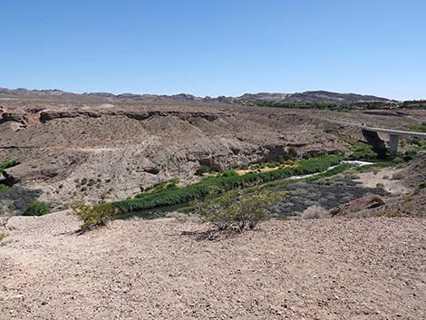
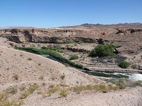
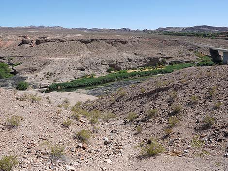
Overview At the lower end of Las Vegas Wash, where the river of runoff from the Las Vegas Valley flows into Lake Mead, there is a deep, narrow, steep-walled canyon with water and vegetation. The vegetation (e.g., Honey Mesquite, Saltcedar, Quailbush, and Arrowweed) and water create a riparian corridor that attracts birds and other wildlife from miles around. A 0.7-mile loop-trail runs down to the stream and back with some spur-trail options to walk more and see more (about 1-3/4 miles total). The water isn't safe for swimming or drinking (it is, after all, urban runoff and water released from sewage treatment plants), but it does attract wildlife, and as one hiker said, this is one of few places in southern Nevada where you can enjoy the sounds of running water. Visitors can enjoy the sights and sounds of running water without hiking the trail. From the trailhead, just walk south to the edge of the bluffs and look down into the wash. Link to map. |
 Wetlands Trailhead sign (view E) |
Watch Out Other than the standard warnings about hiking in the desert, ...this is a fairly safe hike, but don't get in the water here because it is urban runoff contaminated with who knows what. The edge of the bluffs overlooking the wash provide an elevated observation platform for listening to the rushing water and watching for wildlife, but watch your footing out on the edge. Also, part of the trail runs steeply along the top of a narrow dirt ridge, so watch your step along there too. While hiking, please respect the land and the other people out there, and try to Leave No Trace of your passage. Also, this is a short hike, so just bring what you need of the 10 Essentials. Getting to the Trailhead This hike is located along Northshore Road in Lake Mead National Recreation Area, about 30 minutes east of Las Vegas. |
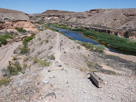
 The Wetlands Trail feels like it is in the wrong place (view E) |
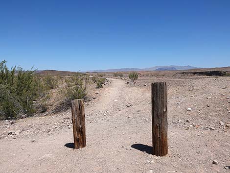
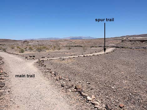
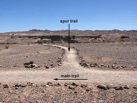
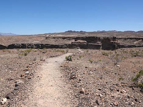
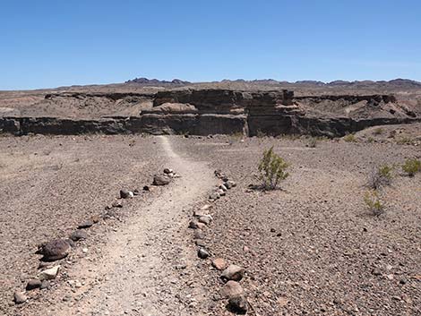
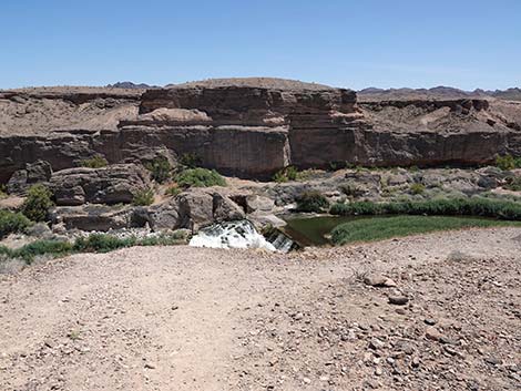
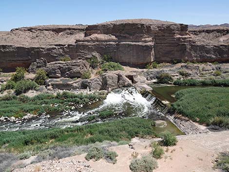
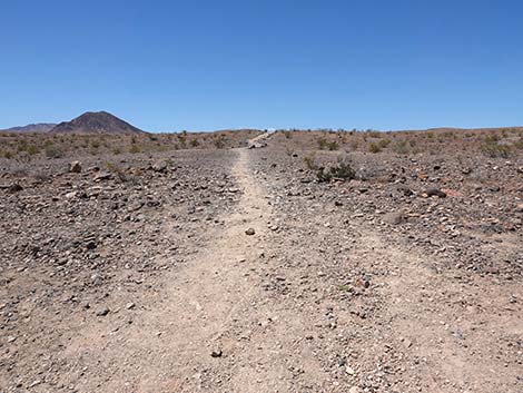
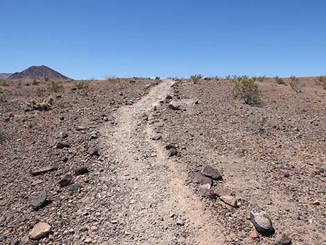
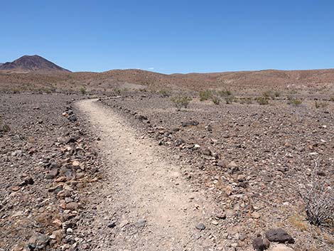
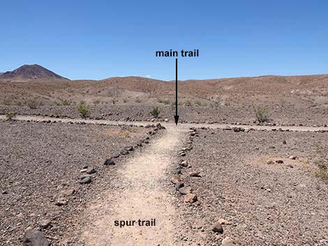
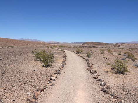
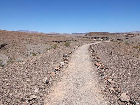
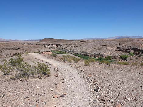
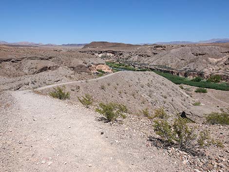
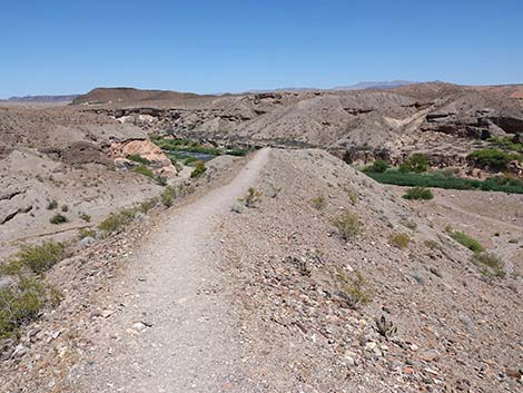
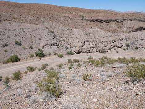
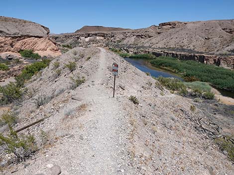
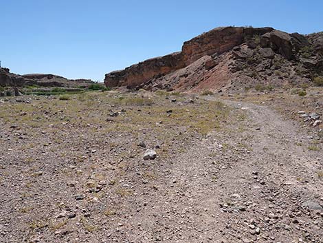
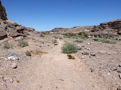
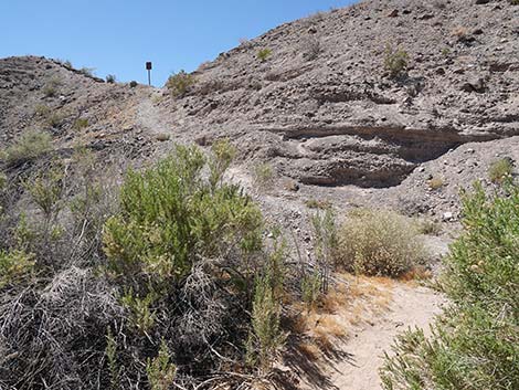
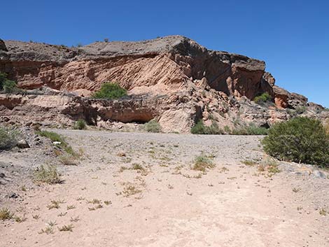
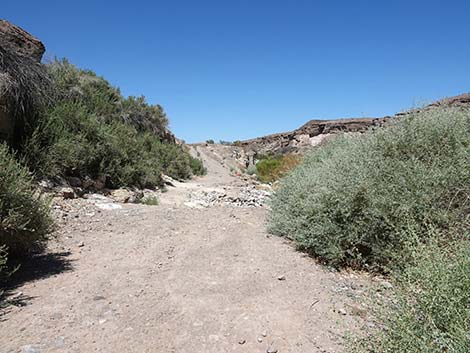
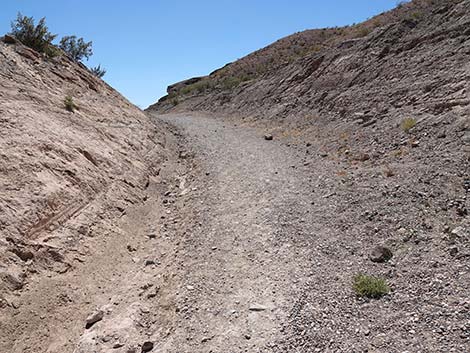
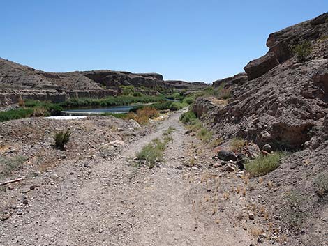
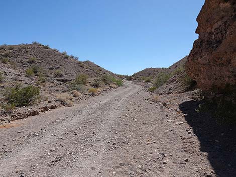
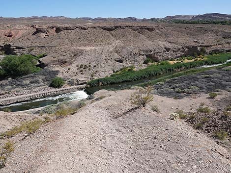
From town, drive out to Lake Mead, then drive north on Northshore Road for about 1.2 miles to the Mile 1.2 (Wetlands) Trailhead. Park here; this is the trailhead. The Hike From the trailhead (Table 1, Waypoint 01), the trail runs eastward across the top of the bluffs on sparsely vegetated desert pavement. Watch for the burrows of kangaroo rats around the stunted creosote bushes and imagine what it must be like for these little seed-eating rodents to live out here (at least they don't need to drink water!). At almost 200 yards out (Wpt. 02), a spur-trail branches right and runs 110 yards to the edge of the bluffs (Wpt. 03) with nice views down into Las Vegas Wash just downstream from a high weir with a nice cascading waterfall. The Wetlands Trail (Wpt. 02) continues straight out onto a narrow peninsula that narrows to the width of the trail (Wpt. 04). The trail continues steeply down the narrow ridgeline towards the bottom of the wash. A few stair steps remain, but most have fallen away. |
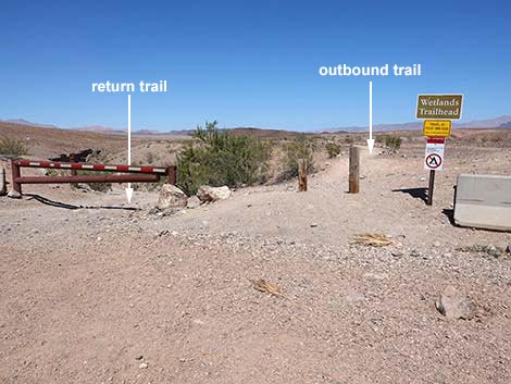
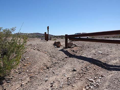
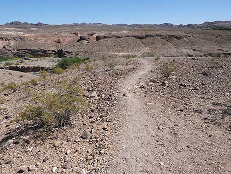
 The loop ends behind the gate (view NE) |
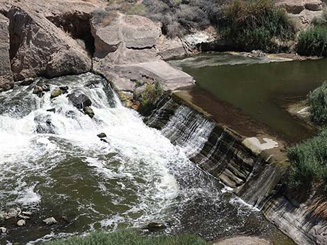
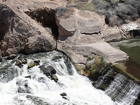
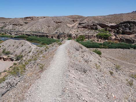
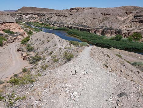
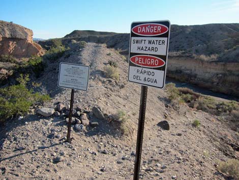
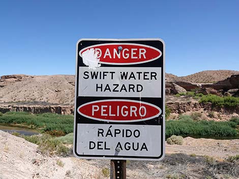
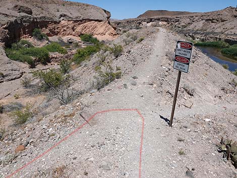
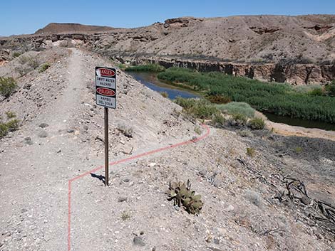
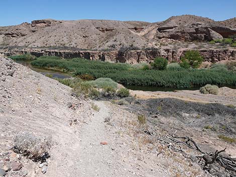
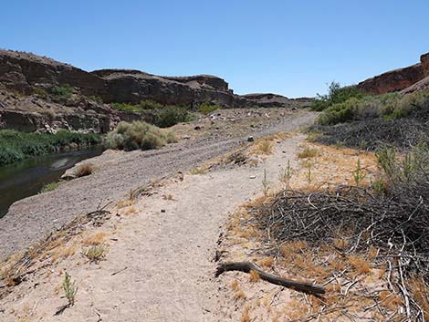
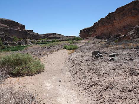
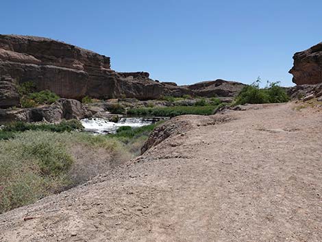
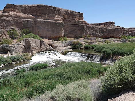
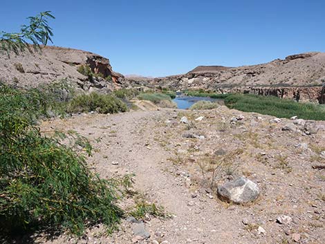
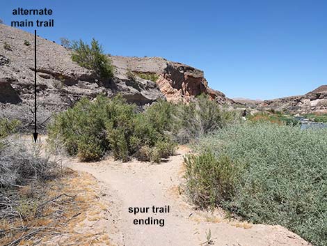
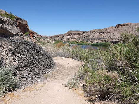
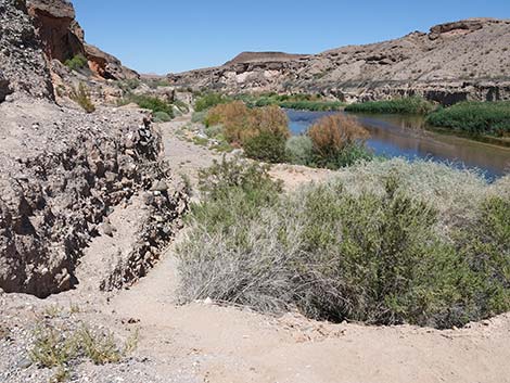
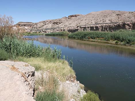
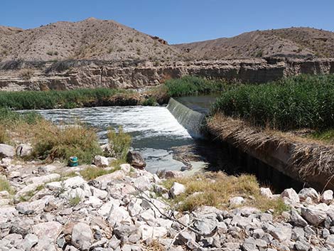
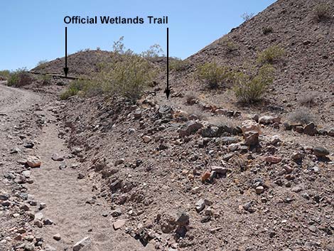
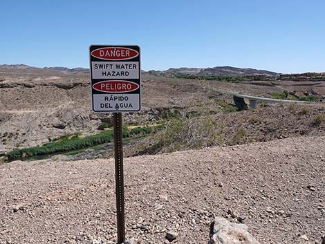
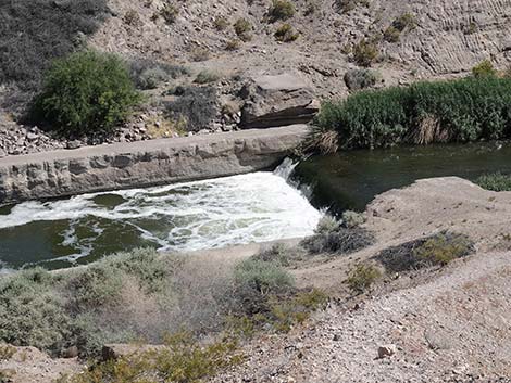
The trail drops onto a low saddle (Wpt. 05) marked with a warning sign about swift waters. There used to be a second sign about contaminated water, but it is gone. Atop the low saddle, the official trail turns left and switchbacks down the north side of the ridge into the bottom of a side canyon (Wpt. 10) with a dirt road. In this side canyon, the main trail runs uphill (northeast) on the road and returns to the trailhead (Wpt. 01). This option makes for the 0.7-mile loop. There used to be a trail that ran along-side the road, but much of the trail washed out, and it is easier to just walk on the dirt road. However, from the low saddle (Wpt. 05), an alternate trail continues straight down to the right and quickly arrives at the edge of Las Vegas Wash (Wpt. 06) with flowing water and wetlands vegetation. From there, enjoy the sights and sounds of water flowing in the desert. Hikers can turn right and walk up an old road along the streambank for 0.21 miles before canyon walls pinch off further easy access. This brings hikers to an eye-level view (Wpt. 07) of the weir and cascading waterfall seen previously from the cliff-top at the end of the 110-yards spur-trail. In this view, it can be seen that water is flowing under and around the far end of the weir and presumably eroding the bluff away. It will be interesting to see what happens here over the years. |
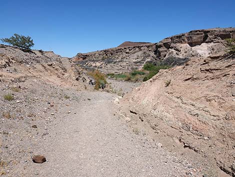
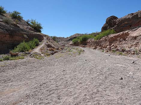
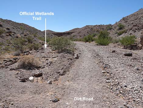
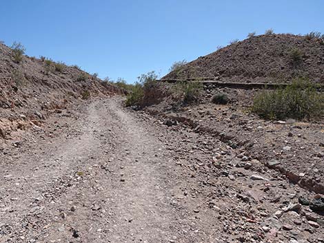
 Start of the Wetlands Trail (view E) |
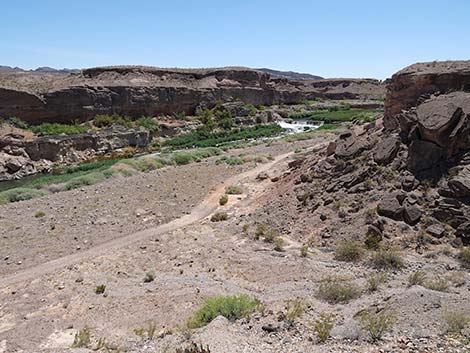
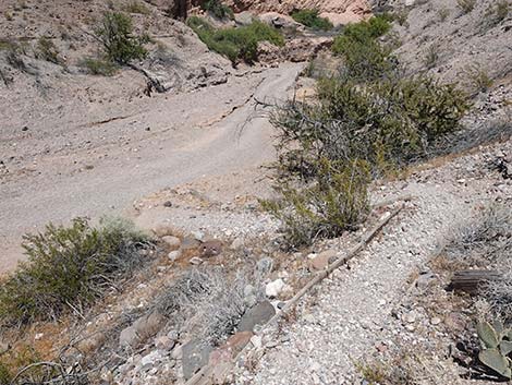
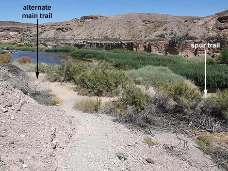
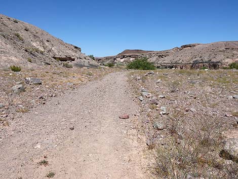
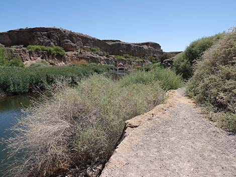
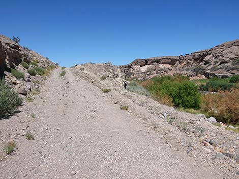
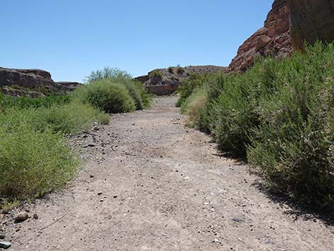
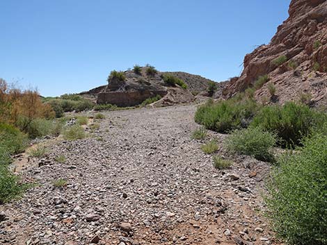
Returning to the alternate main trail (Wpt. 06) and winding downstream through bushes for another 50 yards brings hikers to the mouth of the side canyon (Wpt. 08) and the dirt road seen previously while hiking down the steep, narrow ridge. From the mouth of the canyon (Wpt. 08), hikers can take another spur continuing downstream on the dirt road for about 325 yards to a cliff-edge (Wpt. 09) where the road is washed away. Hikers get views of an additional weir and more sounds of rushing water along this part of Las Vegas Wash, but it is not an exciting walk. To return to the trailhead, hikers need to walk back up the dirt road to the mouth of the side canyon (Wpt. 08), and then follow the dirt road up the side canyon. The dirt road passes the base of the switchbacks (Wpt. 10) and continues up the dirt road. The canyon winds back and forth a bit, cutting through interesting, layered alluvial deposits, until returning to the trailhead (Wpt. 01). Hiking the official loop trail and the spur trails totals about 1.76 miles. |
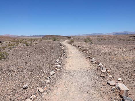
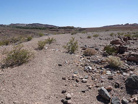
Start of the Wetlands Trail, which seems poorly named at this point given the sparse and stunted creosote bushes.
 Scattered, stunted creosote bushes and desert pavement (view E) |
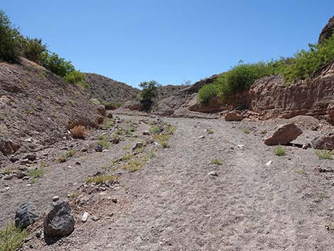
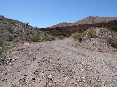
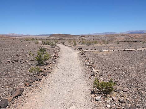 Approaching a trail junction (view E) |
Spur Trail to Edge of Cliff with view down to cascading weir with erosion.
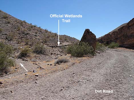
 Spur trail to edge of bluffs branches to the right (view SE) |
 Spur trail to edge of bluffs branches to the right (view S) |
 Spur trail runs down towards Las Vegas Wash (view SE) |
 Spur trail arriving at the edge of Las Vegas Wash (view SE) Spur trail arriving at the edge of Las Vegas Wash (view SE) |
 Edge of the cliffs (view SE) |
 High weir with cascading waterfall (view SE) |
 High weir with cascading waterfall (view SE) |
 Water flows around the end of the concrete weir (view SE) |
 Las Vegas Wash, view up stream (view SW) |
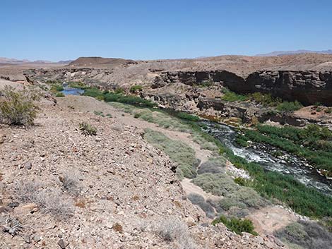 Las Vegas Wash, view down stream (view E) |
 Cliff edge, returning to the main trail (view NW) |
 Returning to the main trail (view NW) |
 Returning to the main trail (view NW) |
 Arriving back at the main trail; loop continues right (view N) |
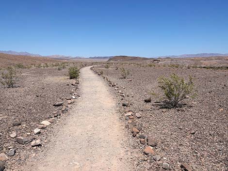
Main Trail Continues Straight across the mesa top with scattered shrubs and desert pavement.
 Wetlands Trail continues across desert flats (view NE) |
 Trail runs along the edge of the mesa (view NE) |
 Arriving at the edge of the mesa (view E) |
 End of the mesa (view NE) |
 Wetlands Trail continues out a narrow ridge (view E) |
 Looking down the side of the ridge towards wash (view SE) |
 Looking down the side of the ridge towards the exit route (view NE) |
 The trail continues out a narrow ridge (view SE) |
 The trail begins a steep descent (view SE) |
 Las Vegas Wash (looking back from the narrow trail; view SW) |
 The trail continues a steep descent (view SE)(view E) |
 Approaching a low saddle with signs (view E) |
 4-way trail junction; official trail turns left (view E) |
 Warning signs at low saddle (view E) |
 Warning: swift water hazard (view SE) |
 Warning sign at low saddle, now missing (view SE) |
The Official Wetlands Loop Trail Turns Back towards the Trailhead. Steep switchbacks descend into the side canyon.
 Official Wetlands Loop Trail turns hard left (view E) |
 Official trail switchbacks down hillside (view NW) |
 Official trail switchbacks down towards dirt road (view NE) |
 More to come ... |
Making a Slightly Longer Loop with some optional spur trails to walk more and see more.
 Alternate trail turns right and descends hillside (view SE) |
 Alternate trail descending hillside (view SE) |
 Alternate main trail and spur trail to the right (view E) |
More to come ... |
Spur Trail to Hike Up Along Las Vegas Wash to an eye-level view of the cascading weir.
 (view S) |
 Spur trail joins dirt road on the wash bank (view SW) |
 Dirt road on the wash bank (view W) |
 Dirt road on the wash bank approaching cliffs (view W) |
 Dirt road on the wash bank (view SW) |
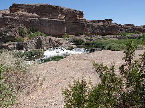 Arriving at cascading weir seen previously from above (view SW) |
 Cascading weir (view SW) |
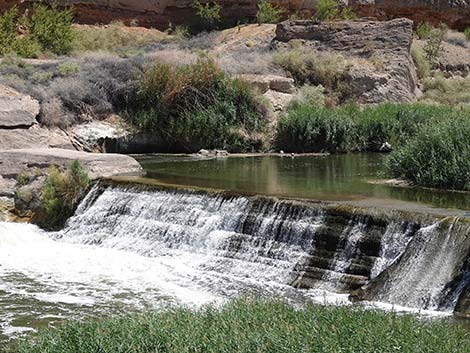 Cascading weir (view SW) |
 Las Vegas Wash (view SE from near cascading weir view point) |
 Returning down the dirt road (view E) |
 Returning down the dirt road (view E) |
 Returning down the dirt road (view E) Returning down the dirt road (view E) |
 Calm waters in Las Vegas Wash (view NE) |
 Returning to the alternate main trail (view E) |
Continuing on the Longer Loop Alternative.
 Looking back up alternate main trail towards low saddle (view NW) |
 Alternate main trail turns right to continue downstream (view E) |
 Alternate main trail continues along base of cliffs (view E) |
 Edge of Las Vegas Wash looking downstream (view E) |
 Edge of Las Vegas Wash looking upstream (view SW) |
 Alternate main trail arriving at side canyon with dirt road (view NE) |
Spur Up along Las Vegas Wash to walk farther downstream and see more.
 Mouth of the side canyon; dirt road continues downstream (view E) |
 Dirt road continues downstream (view NE) |
 Another weir and waterfall (view S) |
 Dirt road continues downstream without good views (view NE) |
 Dirt road continues downstream without good views (view NE) |
 Dirt road bends towards Las Vegas Wash (view E) |
 Dirt road ends atop cliff where the hillside washed away (view E) |
 Departing cliff edge, returning down the road (view W) |
 Returning down the road (view SW) |
 Better view atop berm along dirt road (view SW) |
 Returning down the road (view W) |
 Dirt road arriving at mouth of side canyon (view W) |
Turning Back towards the Trailhead at the mouth of the side canyon.
 Mouth of side canyon; returning up the dirt road (view NW) |
 Sandy road in the canyon winds back and forth (view W) |
 Approaching base of switchbacks (view SW) |
 base of switchbacks, caution sign visible above (view S) |
 Alternate trail joins the official Wetlands Trail (view NW) |
 Parts of original trail are visible, but easier to hike on road (view W) |
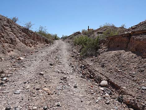
 Wetlands Trail winds up the canyon (view NW) |
 Official trail departs to the left (view W) |
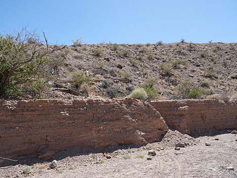
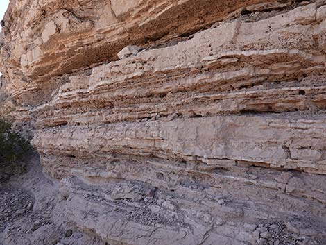 Layers of fine sediments in the canyon wall (view NW) |
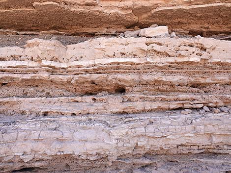 Layers of fine sediments in the canyon wall (view N) |
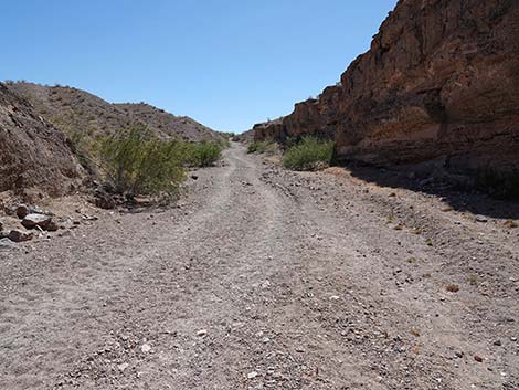 Wetlands Trail winds up the canyon (view SW) |
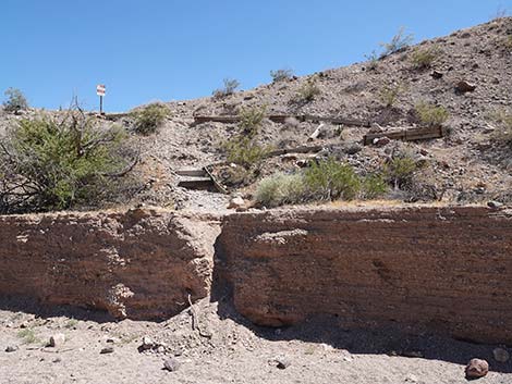
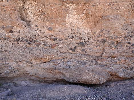 Higher up, layers of coarse sediments in the canyon wall (view N) |
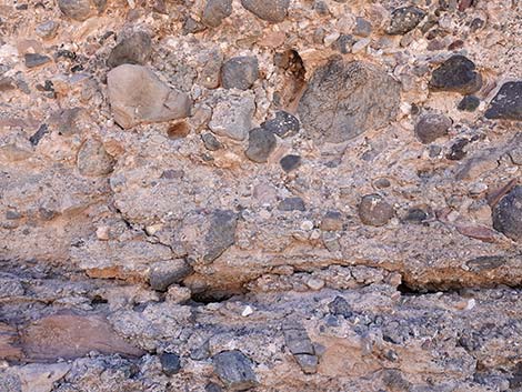 Layers of coarse sediments in the canyon wall (view N) |
 Wetlands Trail winds up the canyon; last shade (view SW) |
 Wetlands Trail winds up the canyon (view SW) |
 Official Wetlands Trail departs to the right (view SW) |
 It is easier to hike on the dirt road (view SW) |
 The outhouse comes into view (view SW) |
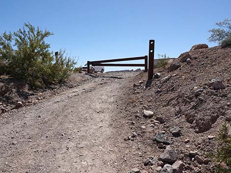 Arriving at the trailhead gate (view SW) |
 Bypass trailhead gate to the left (view S) |
Parking Lot View of Northshore Road Bridge and Las Vegas Wash
 From the trailhead, route runs towards the wash (view SW) |
 Route departs the trailhead parking area (view SW) |
 Route continues towards Las Vegas Wash (view S) |
 Another warning sign: swift water hazard (view S) |
 Edge of the bluffs (view SW) |
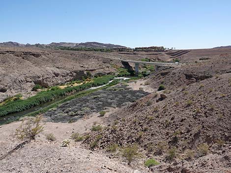 Northshore Road bridge over Las Vegas Wash (view SW) |
 A very steep use-trail descends to the wash (view S) |
 Another weir and waterfall in Las Vegas Wash (view SW) |
 Another view of Las Vegas Wash (view SE) |
 Another view of Las Vegas Wash (view S) |
Table 1. Hiking Coordinates Based on GPS Data (NAD27; UTM Zone 11S). Download Hiking GPS Waypoints (*.gpx) file.
Official Wetlands Loop Trail
| Wpt. | Location | UTM Easting | UTM Northing | Elevation (ft) | Point-to-Point Distance (mi) | Cumulative Distance (mi) |
|---|---|---|---|---|---|---|
| 01 | Trailhead | 688818 | 3999614 | 1,370 | 0.00 | 0.00 |
| 02 | Spur Trail to Bluffs | 688984 | 3999650 | 1,338 | 0.11 | 0.11 |
| 04 | Narrow Peninsula | 689158 | 3999727 | 1,320 | 0.13 | 0.24 |
| 05 | Low Saddle | 689279 | 3999715 | 1,269 | 0.08 | 0.32 |
| 10 | Base of Switchbacks | 689271 | 3999735 | 1,270 | 0.02 | 0.34 |
| 01 | Trailhead | 688818 | 3999614 | 1,370 | 0.35 | 0.69 |
Official Wetlands Loop Trail plus the Three Spur Trails
| Wpt. | Location | UTM Easting | UTM Northing | Elevation (ft) | Point-to-Point Distance (mi) | Cumulative Distance (mi) |
|---|---|---|---|---|---|---|
| 01 | Trailhead | 688818 | 3999614 | 1,370 | 0.00 | 0.00 |
| 02 | Spur Trail to Bluffs | 688984 | 3999650 | 1,338 | 0.11 | 0.11 |
| 03 | Edge of Cliffs | 689037 | 3999562 | 1,323 | 0.07 | 0.18 |
| 02 | Spur Trail to Bluffs | 688984 | 3999650 | 1,338 | 0.07 | 0.25 |
| 04 | Narrow Peninsula | 689158 | 3999727 | 1,320 | 0.13 | 0.38 |
| 05 | Low Saddle | 689279 | 3999715 | 1,269 | 0.08 | 0.46 |
| 06 | Spur Trail Upstream | 689311 | 3999708 | 1,236 | 0.03 | 0.49 |
| 07 | Cascading Weir View | 689059 | 3999531 | 1,242 | 0.21 | 0.70 |
| 06 | Spur Trail Upstream | 689311 | 3999708 | 1,236 | 0.21 | 0.91 |
| 08 | Mouth of Side Canyon | 689357 | 3999743 | 1,220 | 0.07 | 0.98 |
| 09 | Cliff at Washed Out Road | 689608 | 3999901 | 1,221 | 0.19 | 1.16 |
| 08 | Mouth of Side Canyon | 689357 | 3999743 | 1,220 | 0.19 | 1.35 |
| 10 | Base of Switchbacks | 689271 | 3999735 | 1,270 | 0.06 | 1.41 |
| 01 | Trailhead | 688818 | 3999614 | 1,370 | 0.35 | 1.76 |
Happy Hiking! All distances, elevations, and other facts are approximate.
![]() ; Last updated 240614
; Last updated 240614
| Hiking Around Lake Mead | Hiking Around Las Vegas | Glossary | Copyright, Conditions, Disclaimer | Home |