
Backroads Around Las Vegas, Gold Butte
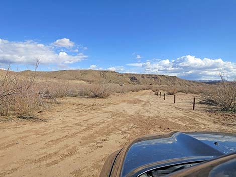 Departing the end of Virgin River Landing Road (view S) |
Overview Virgin River Landing Road (Road 112) is a 3.8-mile graded road that runs east-west between Fisherman Cove Road (Road 113) and the Virgin River. The road is entirely on public land, beginning on lands managed by the BLM and ending on lands managed by Lake Mead National Recreation Area. The road is maintained, but there is one steep, rocky hill that is barely 2WD in a jeep. I drove it in 2WD to prove that I could, but I'd use 4WD next time to keep the wheels from spinning. The very end of the road goes out into deep blow sand, and 4WD is required in that area, but drivers need not go that far. Presented here are photos of the return back up Virgin River Landing Road because it always looks different on the way back. For a detailed description of the road, including directions, maps, GPS coordinates, and photos, see Virgin River Landing Road - Westbound. |
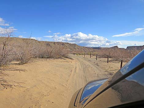 The sandy road follows along the post-and-cable fence (view S) |
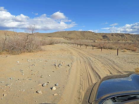 The sandy road follows along the post-and-cable fence (view S) |
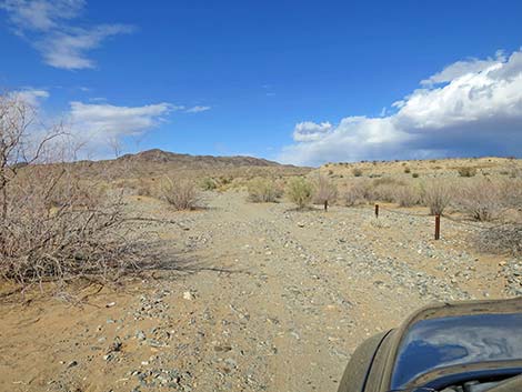 The road turns away from the old lakeshore (view NE) |
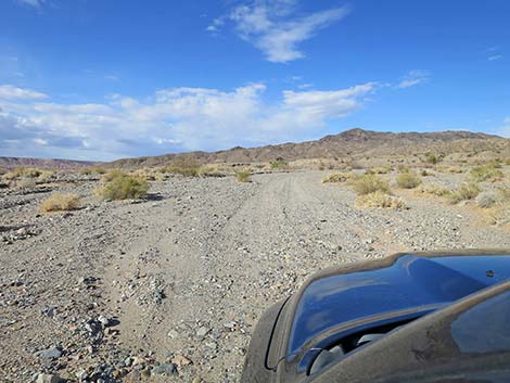 The road still has lots of loose gravel and sand (view NE) |
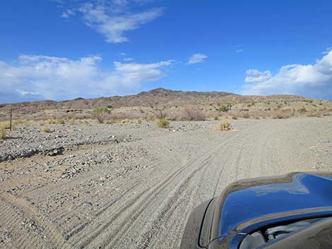 The other fork of the road rejoins here (view NE) |
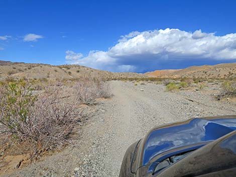 Soft gravel road continues towards mouth of the canyon (view E) |
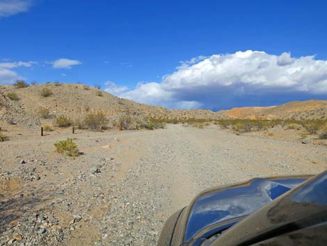 Approaching the fork and the mouth of the canyon (view E) |
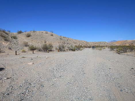 Virgin River Landing Road departing the sandy lakebed area (view E) |
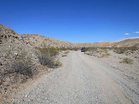 Entering the canyon (view E) |
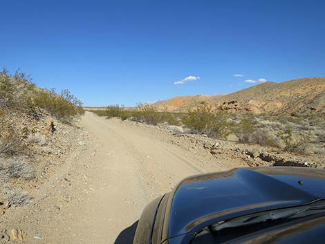 Continuing up the canyon (view NE) |
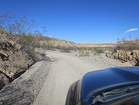 |
 |
 |
 |
 |
 |
 |
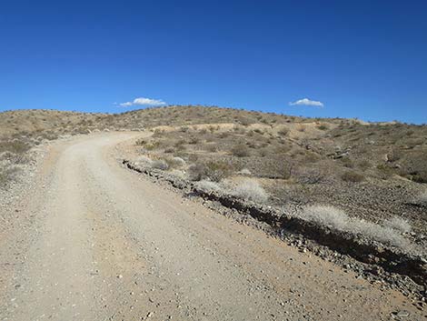 |
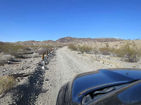
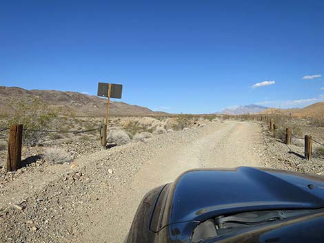
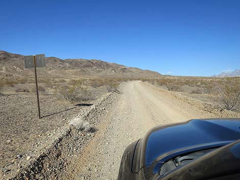
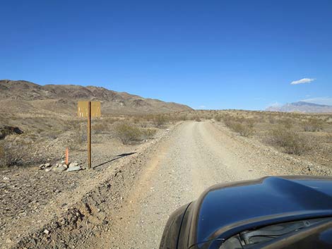
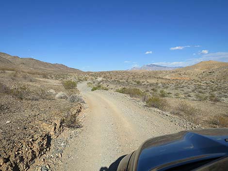
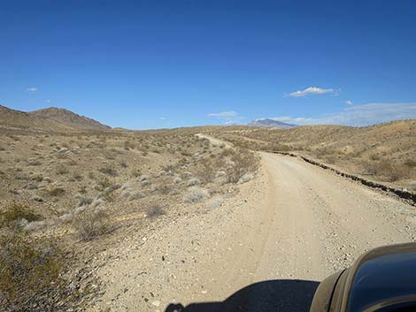
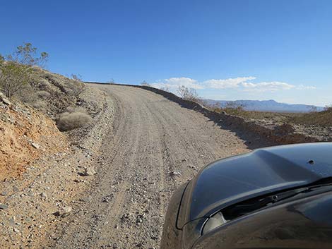 Watch for oncoming traffic (view S) |
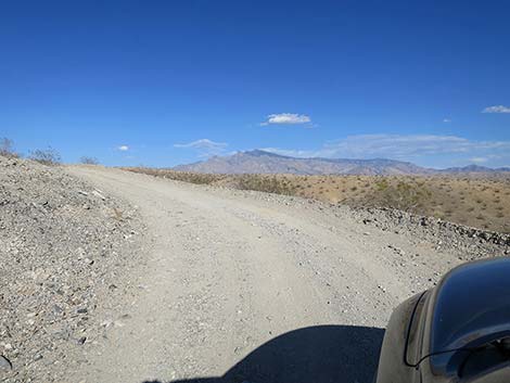 Watch for oncoming traffic (view E) |
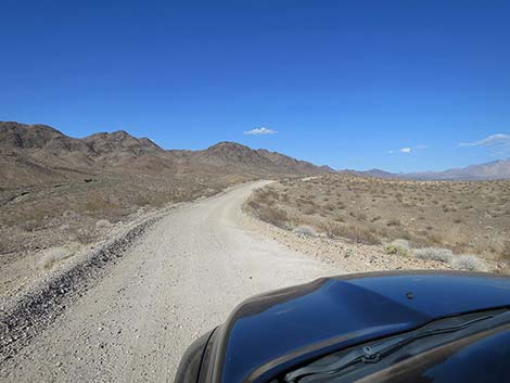 |
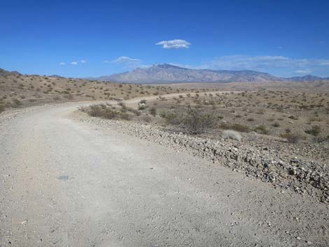 |
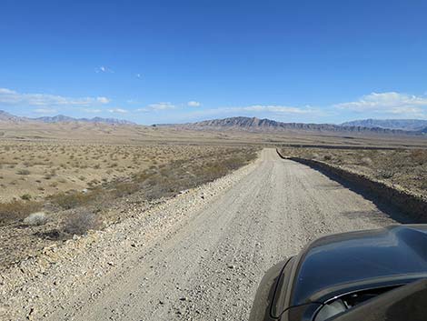 Grand view south towards Bitter Ridge |
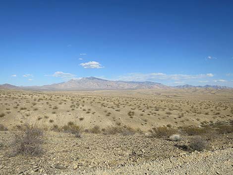 Grand view east towards Virgin Peak |
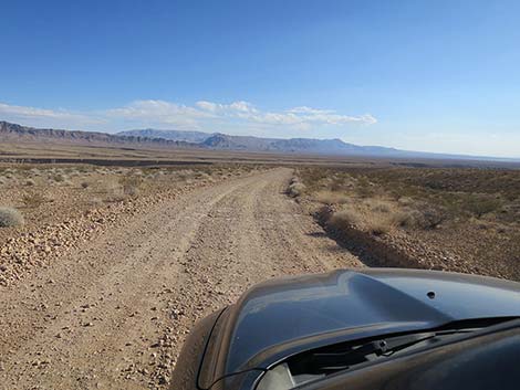 |
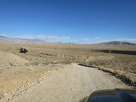 |
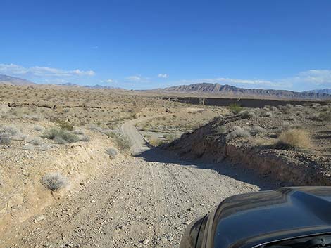 Dropping steeply towards a wash (view SE) |
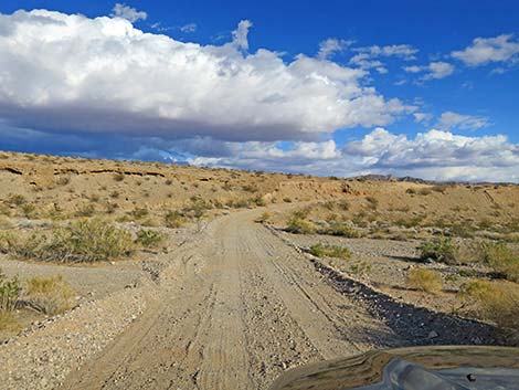 Crossing the deep wash (view SE) |
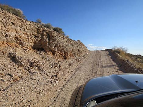 Climbing out of the wash (view S) |
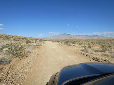 Approaching Fisherman Cove Road (view E) |
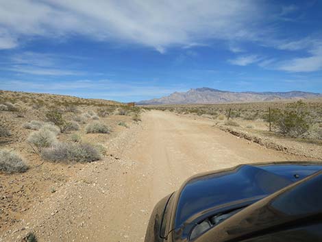 Approaching Fisherman Cove Road (view E) |
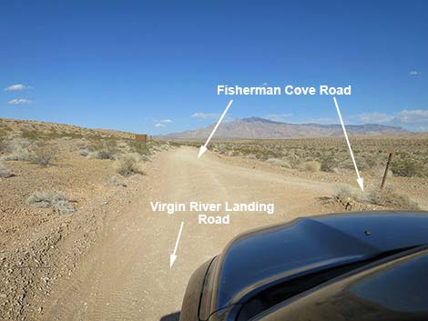 Merging onto Fisherman Cove Road (view E) |
Happy Hiking! All distances, elevations, and other facts are approximate.
![]() ; Last updated 240326
; Last updated 240326
| Backroads Around Las Vegas | Hiking Around Las Vegas | Glossary | Copyright, Conditions, Disclaimer | Home |