(includes River Trail)
Hiking Around Las Vegas, Grand Canyon National Park
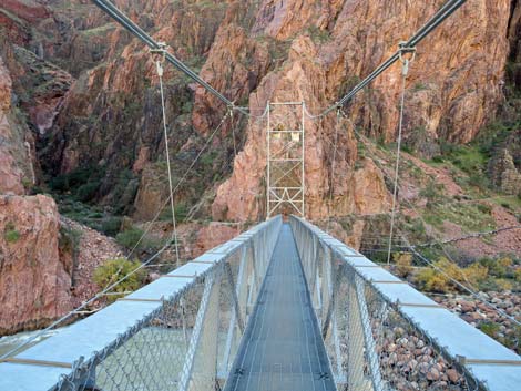
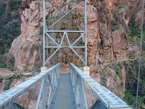
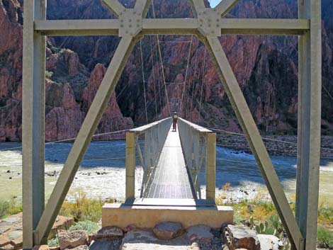 Hiker on the Silver Bridge (view S) |
Overview As described here, the Bright Angel (BA) Trail begins at Phantom Ranch and climbs some 4,400 feet over 9.5 miles to the South Rim near BA Lodge. The trail is open and airy, with many grand views over the cliffs and out into the Grand Canyon. From BA Campground at Phantom Ranch, the trail runs south, staying right to cross the Silver Bridge to the south side of the Colorado River, then follows the River Trail west to River Resthouse. The BA Trail technically begins at this point, and it is followed south along Pipe Creek until it climbs out Devil's Corkscrew and arrives at Havasupai Garden Campground. The BA Trail continues up to the South Rim. Presented here are photos of the hike from BA Campground to Havasupai Garden Campground. For a full description of this hike, including GPS coordinates and other information, see Bright Angel Trail downhill. See also photos of the upper section heading uphill. Link to map. |
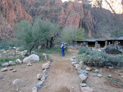
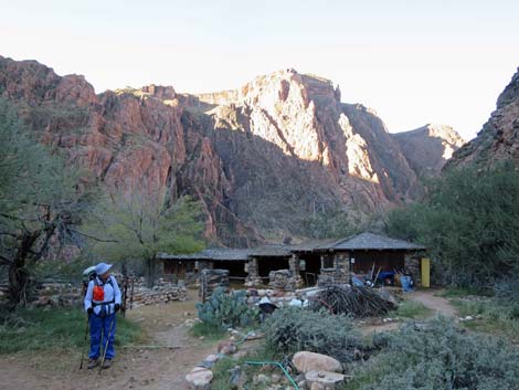
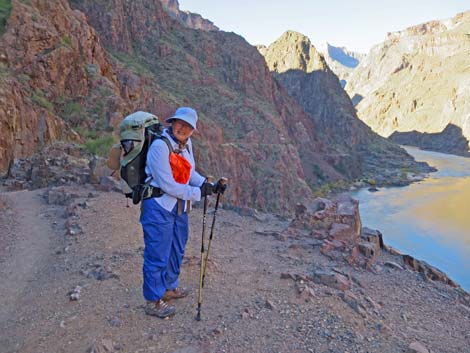
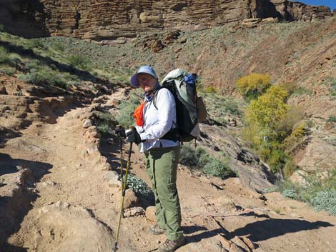
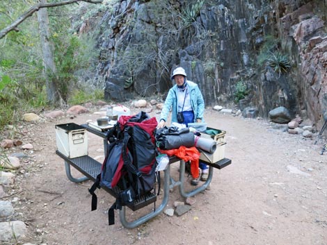 Hiker packing up in Bright Angel Campground (view SW) |
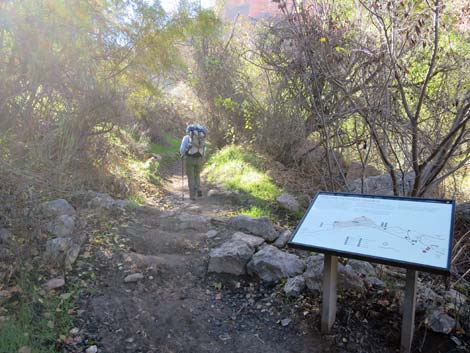
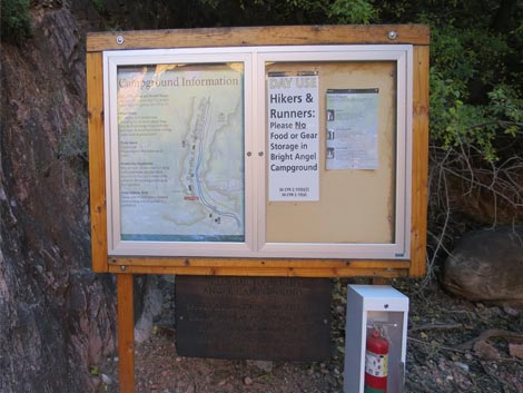 Passing campground information sign at edge of camp (view W) |
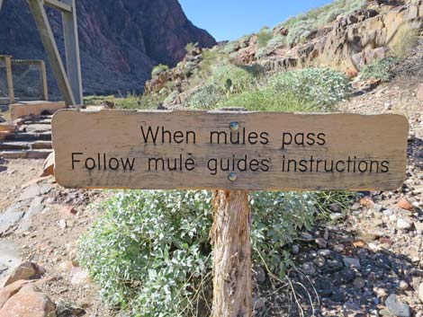
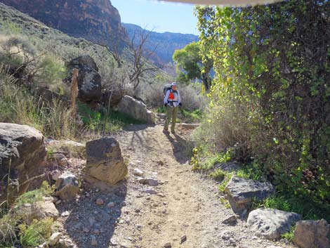
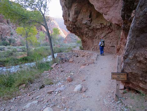 Passing through the "no stopping" zone (view SE) |
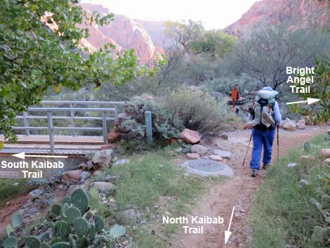 North Kaibab -- South Kaibab -- Bright Angel trail junction (view SE) |
 Hiker passing the mule corrals (view SW) |
 Hiker and mule corrals (view SW) |
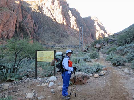 Hiker passing the Silver Bridge information sign (view SW) |
 Sign before Silver Bridge (view SW) |
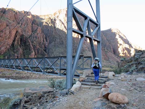 Hiker approaching the Silver Bridge (view SW) |
 Silver Bridge (view S) |
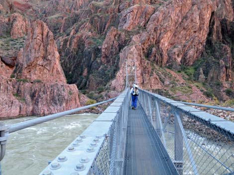 Hiker on middle of the Silver Bridge (view S) |
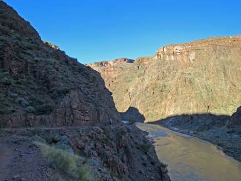
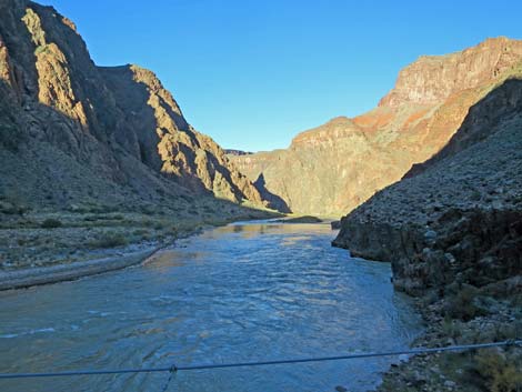 Colorado River downstream (view W from Silver Bridge) |
 Colorado River upstream (view E from Silver Bridge) |
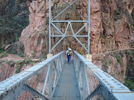 Hiker on south end of Silver Bridge (view S) |
 Hiker past the Silver Bridge (view S) |
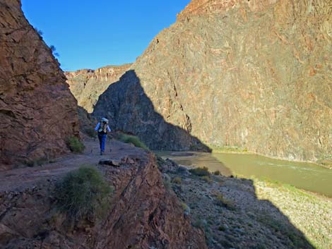
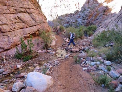
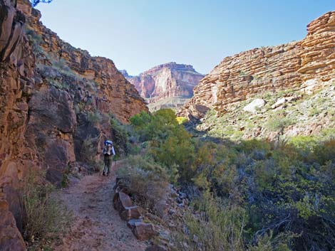
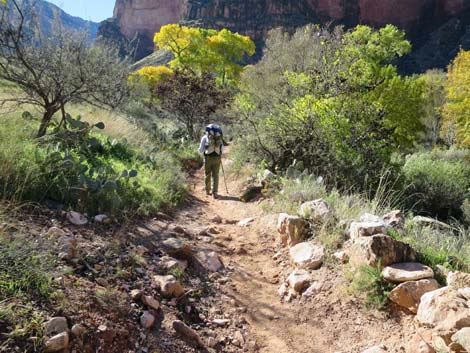
 Hiker westbound on River Trail (view NW) |
 |
 |
 |
 |
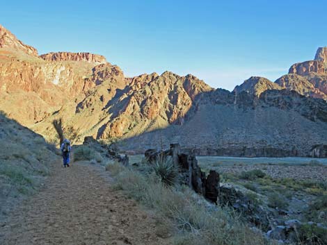
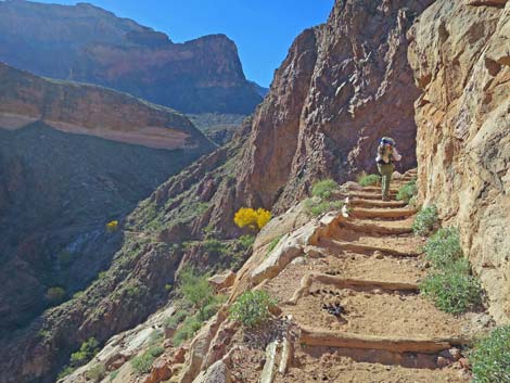
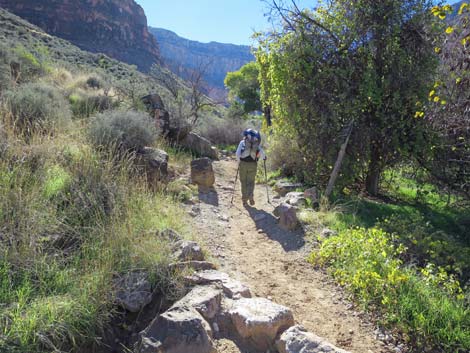
 Hiker westbound on River Trail (view NW) |
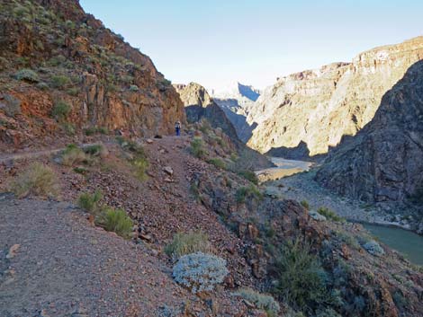
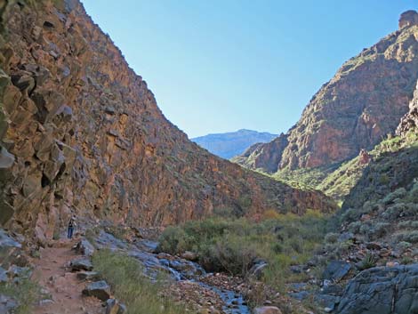
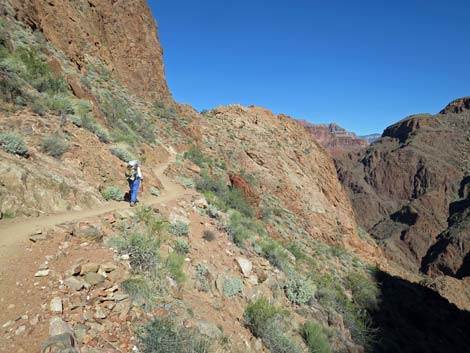
 River Trail high above the Colorado River (view W) |
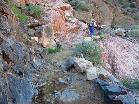
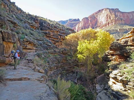
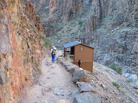 Hiker approaching River Resthouse (view SW) |
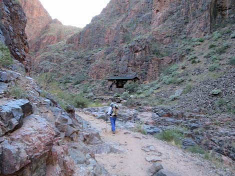 Hiker turning up Pipe Canyon (view S towards picnic shelter) |
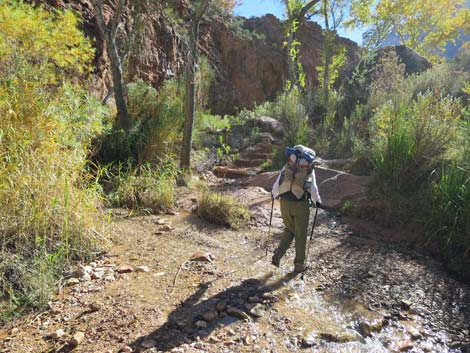
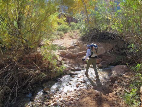
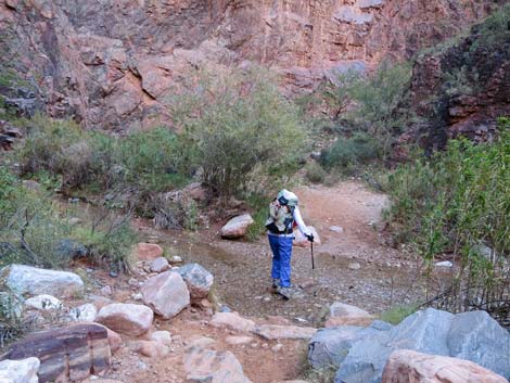 Crossing Pipe Creek (view SE) |
 Crossing Pipe Creek again (view S) |
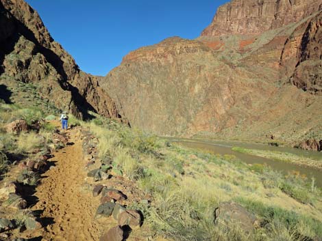
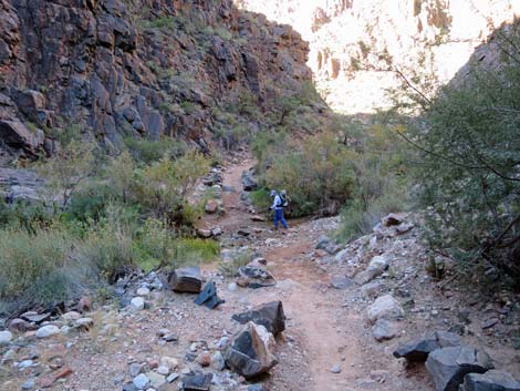
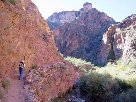
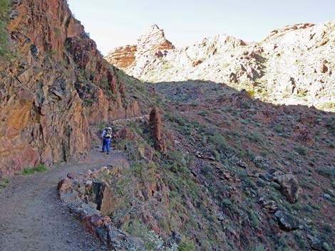
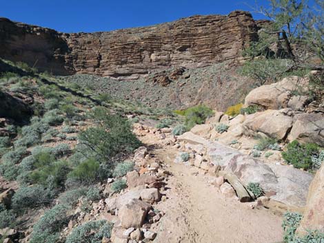
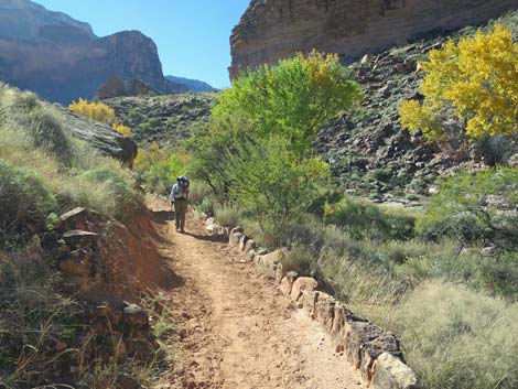
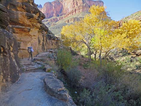
 Trail runs along edge of Pipe Creek (view S) |
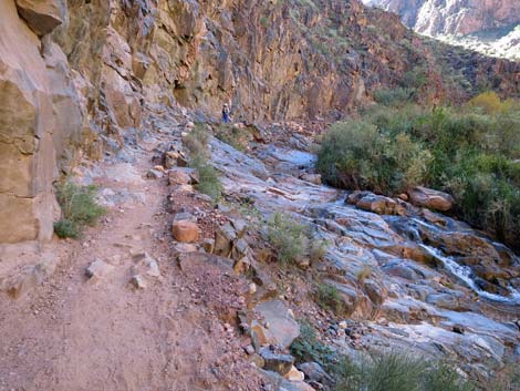 Trail runs along edge of Pipe Creek (view S) |
 Garden Creek comes down side canyon (view S) |
 Garden Creek confluence with Pipe Creek (view SW) |
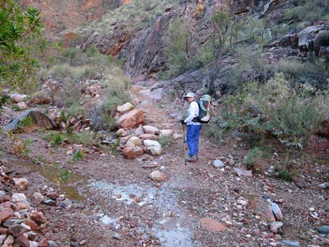 Hiker crossing Pipe Creek again (view S) |
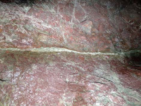
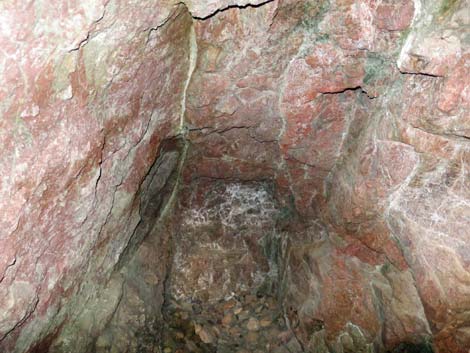
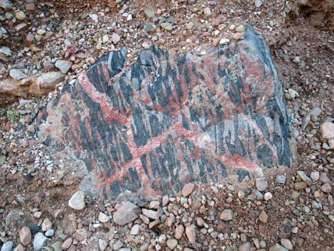 Wild colors in the rocks |
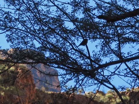 Ruby-crowned Kinglet finding breakfast in a catclaw acacia |
 Hiker crossing Pipe Creek again (view S) |
 Hiker on trail above Pipe Creek again (view S) |
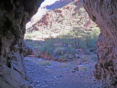
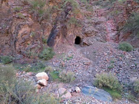 Mine opening across Pipe Creek (view SW) |
 Historic mine opening (mines are not safe to enter) |
 Was this the vein the miners were following? |
 End of the mine |
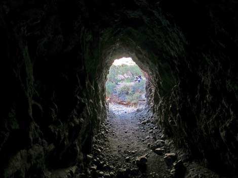 Back of the mine; not very deep (view NE) |
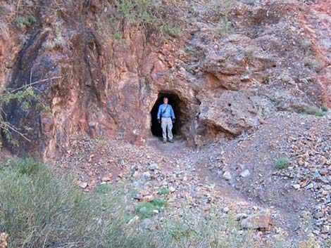
 Inside mine entrance, looking out (view NE) |
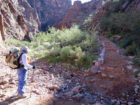 Final Pipe Creek crossing as trail climbs out of canyon (view SE) |
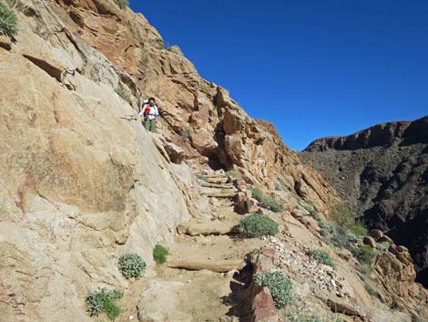
 Hiker on lower switchback (view SW) |
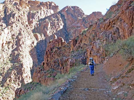 Hiker on upper switchback (view SE) |
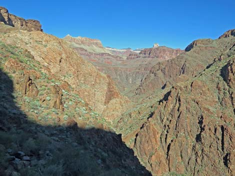 Grand view down Pipe Canyon towards North Rim (view N) |
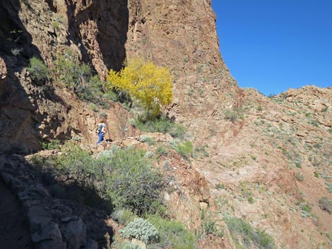
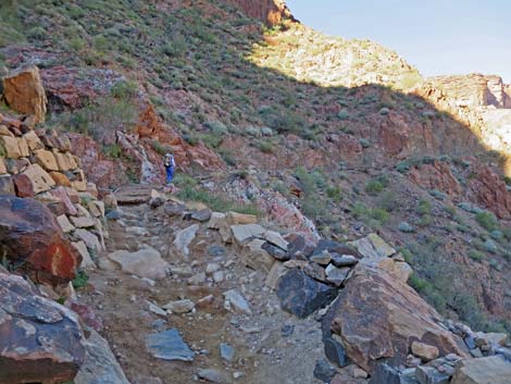 Hiker above the switchbacks (view W) |
 Long sweeping trail contours up and out of Pipe Canyon (view W) |
 Long sweeping trail contours up and out of Pipe Canyon (view SW) |
 Long sweeping trail contours up and out of Pipe Canyon (view NW) |
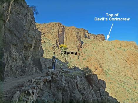
 Hiker approaching the spring (view N) |
 Hiker on final Devil's Corkscrew switchback (view NE) |
 Hiker finishing Devil's Corkscrew (view SW) |
 Approaching rest area atop Devil's Corkscrew (view W) |
 Hiker atop Devil's Corkscrew (view W) |
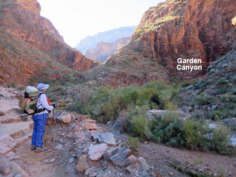
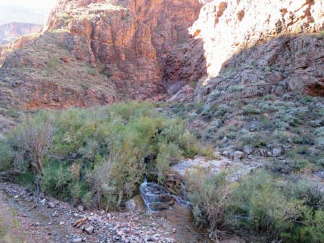
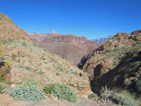 Looking down Garden Canyon towards North Rim (view N) |
 Hiker starting up Bright Angel Canyon (view SW) |
 Hiker crossing Garden Creek (view SW) |
 Hiker crossing Garden Creek again (view SW) |
 Trail runs on ledges above Garden Creek (view SW) |
 Trail runs on ledges above Garden Creek (view SW) |
 |
 |
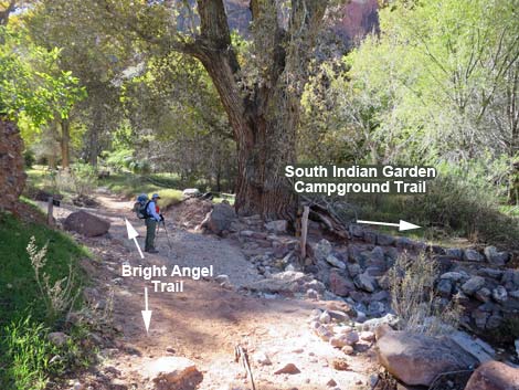
 Hiker approaching Bright Angel - Tonto East trail junction (view SW) |
 Hiker at Bright Angel - Tonto East trail junction (view SW) |
 First Havasupai Garden area information sign (view SW) |
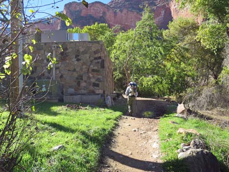 Hiker at pumphouse for Havasupai Garden Trans-Canyon Pipeline |
 Hiker entering Havasupai Garden Day-Use rest area (view SW) |
 Hikers resting at Havasupai Garden Day-Use rest area (view S) |
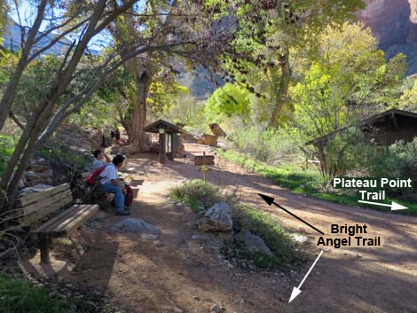
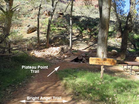 Plateau Point Trail (view W from Bright Angel Trail) |
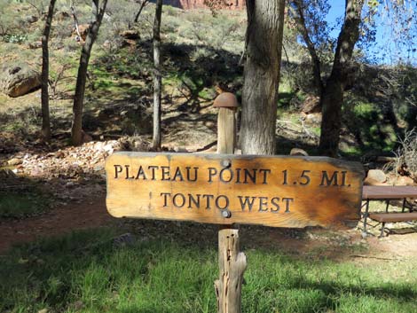 Plateau Point Trail sign (view W) |
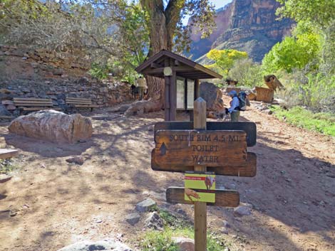 Direction signs, information, water, and benches (view S) |
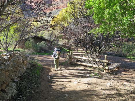
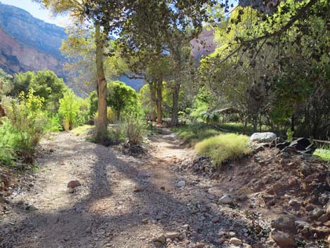
 Hiker continuing past Havasupai Garden Day-Use rest area (view S) |
 Bright Angel -- south Havasupai Garden Campground trail (view S) |
 Bright Angel Trail continues past Havasupai Garden Camp (view S) |
Happy Hiking! All distances, elevations, and other facts are approximate.
![]() ; Last updated 240326
; Last updated 240326
| Lower Bright Angel Trail Downhill | Hiking Grand Canyon | Hiking Around Las Vegas | Glossary | Copyright, Conditions, Disclaimer | Home |