Backroads Around Las Vegas, Desert National Wildlife Refuge
previous section
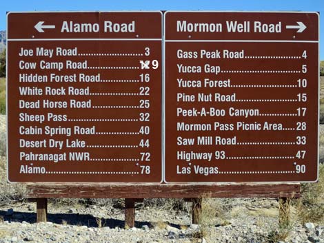 Sign at south end of Mormon Well Road near Corn Creek |
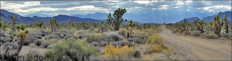
Overview The Mormon Well Road is a long, rough, dirt road that runs across the Desert National Wildlife Refuge from Corn Creek to Highway 93. The road runs across the desert and over the mountains through spectacular country, including towering limestone cliffs; broad, flat valleys; and narrow, winding canyons. The road runs through several desert vegetation life zones, starting in the very dry (stunted) Mojave Desert Scrub Zone and climbing to the Yellow Pine (Ponderosa Pine) Zone. The variety of life zones provides different habitats for birds and other wildlife. Details of the road southbound (including GPS coordinates and maps) are presented on the Mormon Well Road Southbound webpage. Photos here show scenery and road conditions from Yucca Gap to Corn Creek. For northbound information, see Mormon Well Road Northbound. |
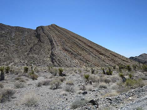 Layer-cake peak on Fossil Ridge (view SW from Mormon Well Road) |
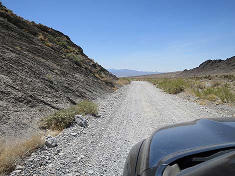
 Mormon Well Road curves to cross Yucca Gap Wash (view W) |
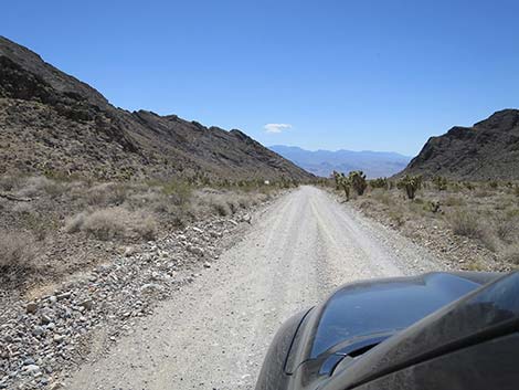 Mormon Well Road crossing Yucca Gap Wash (view W) |
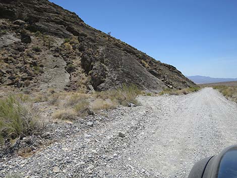
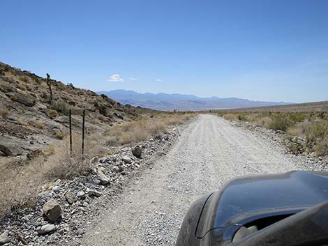
 Mormon Well Road runs along the edge of Fossil Ridge (view W) |
 Mormon Well Road approaching Fossil Snail Site (view W) |
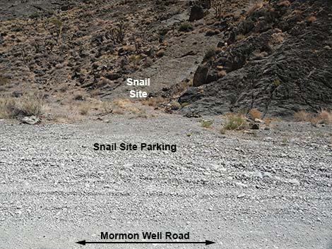 Fossil Snail Site (view S from Mormon Well Road) |
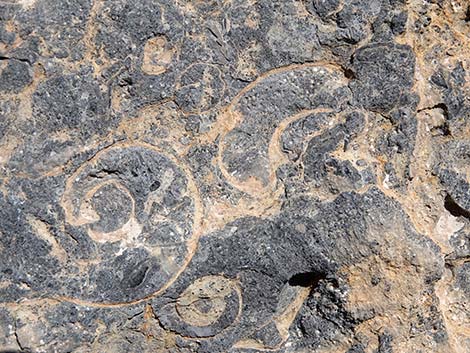 Fossil Snails (view S) |
 Mormon Well Road continuing along base of Fossil Ridge (view W) |
 Mormon Well Road approaching Fossil Ridge sign (view W) |
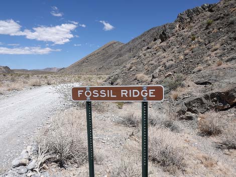 Looking back: Fossil Ridge sign and Yucca Gap (view E) |
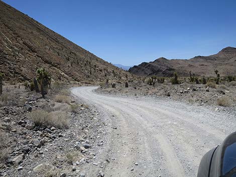
 Mormon Well Road departing Yucca Gap (view W) |
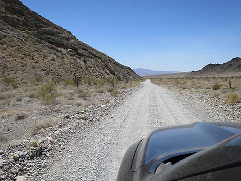
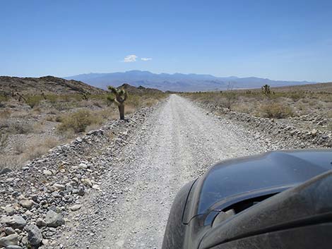
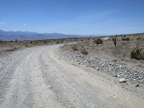
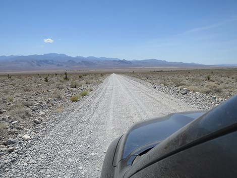
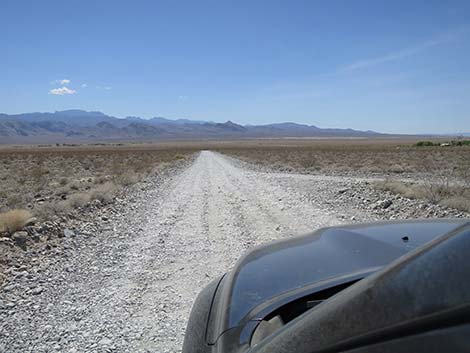
 Mormon Well Road runs down the alluvial fan (view W) |
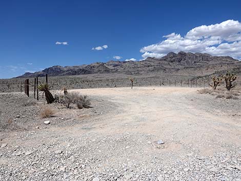
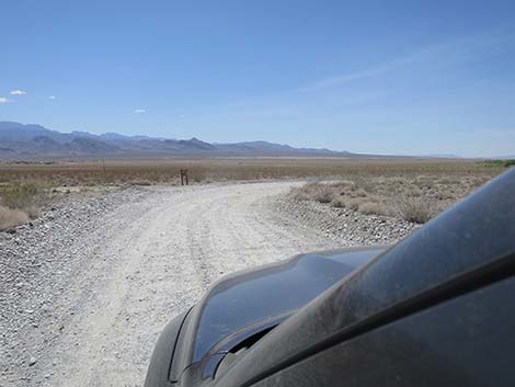
 Mormon Well Road approaching Gass Peak Road (view W) |
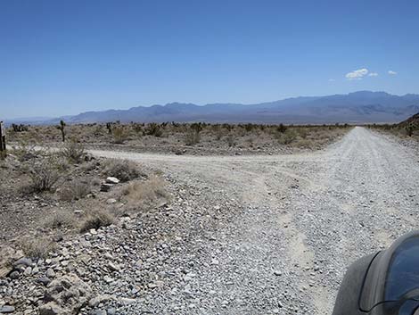 Mormon Well Road at Gass Peak Road (view W) |
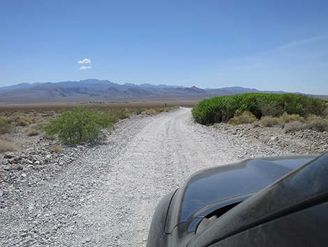
 Mormon Well Rd bends right around cactus garden outcrop (view NW) |
 Mormon Well Road approaching a campsite (view N) |
 Campsite (view N from Mormon Well Road) |
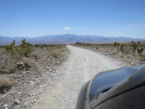
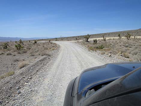
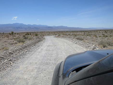
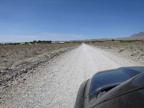
 Mormon Well Road runs straight (view NW) |
 Mormon Well Road starting into a last series of curves (view NW) |
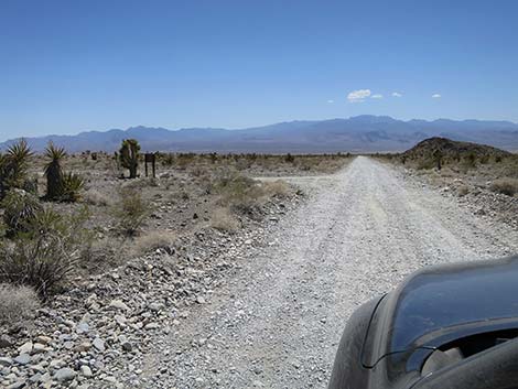
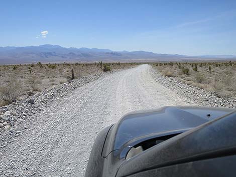 Mormon Well Road on another straight section (view NW) |
 Mormon Well Road makes a slight curve left (view NW) |
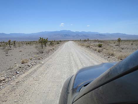
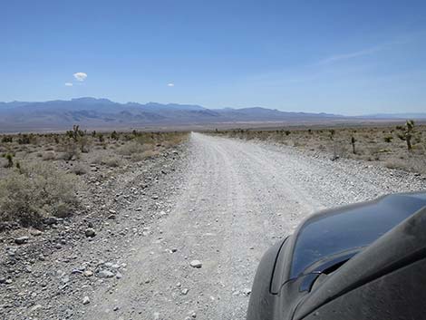
 Mormon Well Road on a long straight downhill run (view W) |
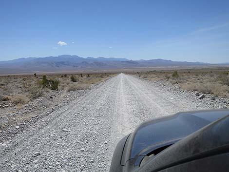
 Mormon Well Road on a long straight downhill run (view W) |
 Mormon Well Road jogs around a small spring area (view W) |
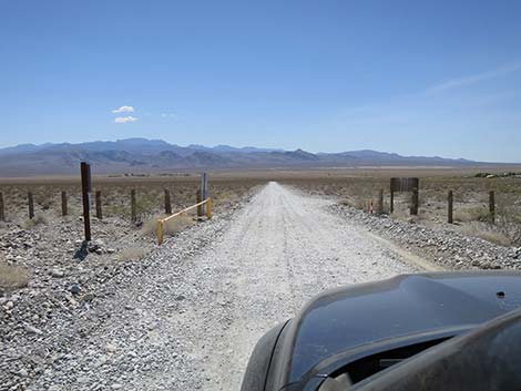 Mormon Well Road passing through the last yellow gate (view W) |
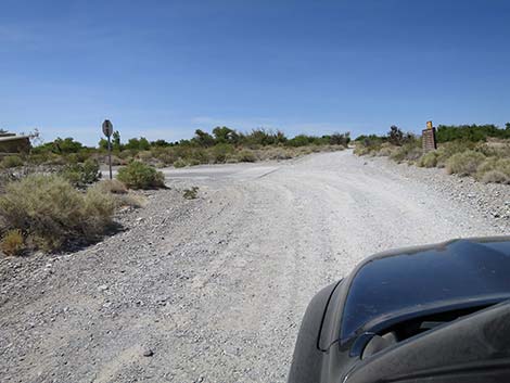
 Just past the gate, side road to old Corn Creek Picnic Area (view W) |
 Passing a second side road to old Corn Creek Picnic Area (view W) |
 Mormon Well Road makes a final bend to the right (view NW) |
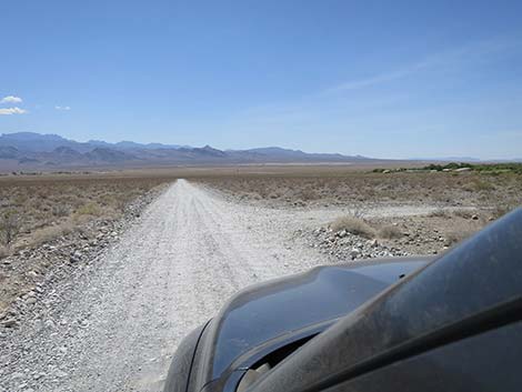
 One last straight section heading towards Corn Creek (view N) |
 Mormon Well Road arriving at Corn Creek Road (view N) |
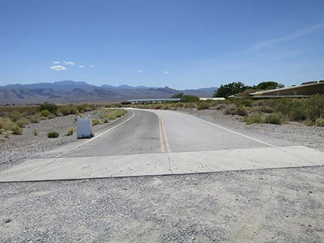 Corn Creek Road (view W from Mormon Well Road) |
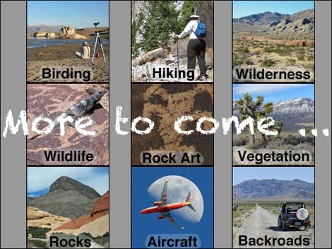 More to come ... |
Happy Hiking! All distances, elevations, and other facts are approximate.
![]() ; Last updated 240324
; Last updated 240324
| Mormon Well Road | Backroads | Hiking Around Las Vegas | Glossary | Copyright, Conditions, Disclaimer | Home |