Backroads Around Las Vegas, Desert National Wildlife Refuge
previous section | next section
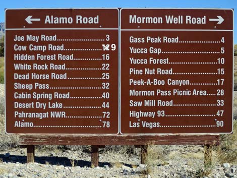 |
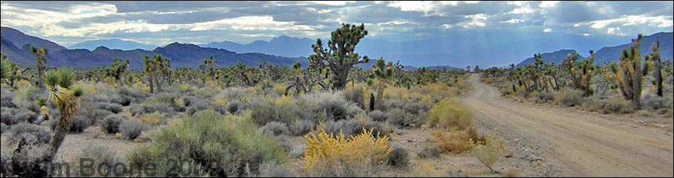
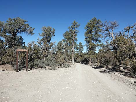
Overview The Mormon Well Road is a long, rough, dirt road that runs across the Desert National Wildlife Refuge from Corn Creek to Highway 93. The road runs across the desert and over the mountains through spectacular country, including towering limestone cliffs; broad, flat valleys; and narrow, winding canyons. The road runs through several desert vegetation life zones, starting in the very dry (stunted) Mojave Desert Scrub Zone and climbing to the Yellow Pine (Ponderosa Pine) Zone. The variety of life zones provides different habitats for birds and other wildlife. Details of the road (including GPS coordinates and maps) are presented on the Mormon Well Road webpage. Here photos show scenery and road conditions from Desert Pass (aka Mormon Pass) to Sawmill Canyon, that is, from about 27 to 33 miles out. |
 Desert Pass (aka Mormon Pass), south side (view N) |
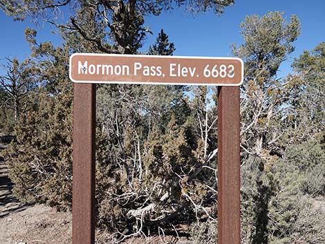 Mormon Pass (aka Desert Pass) sign, south side (view N) |
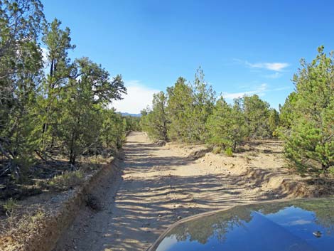
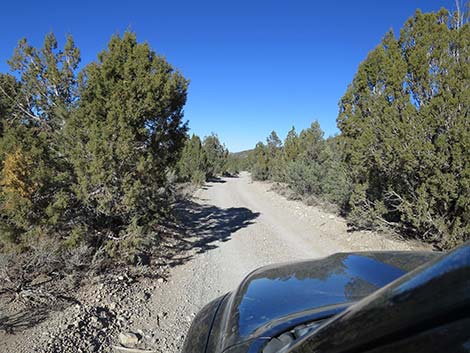
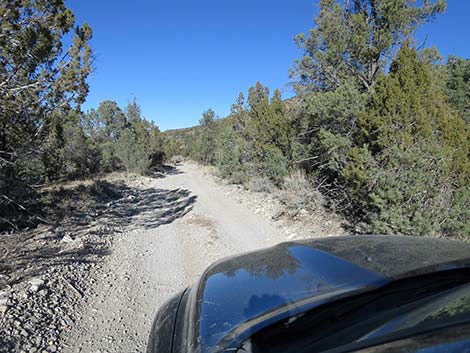
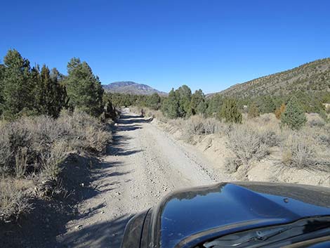
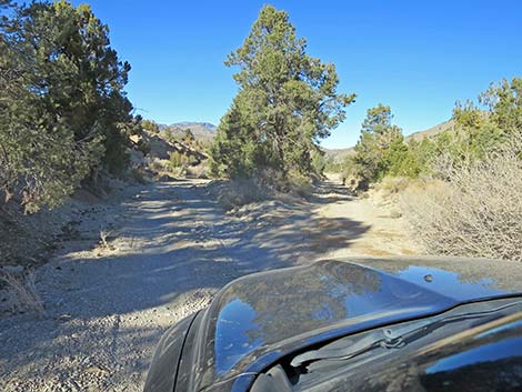
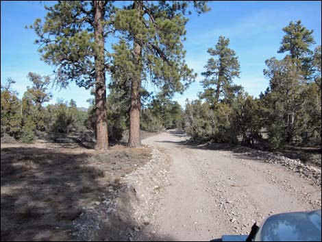 Approaching Desert Pass Campground (view N) |
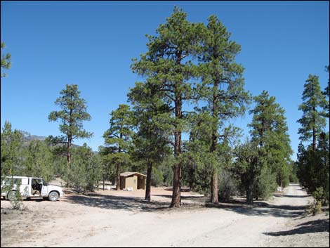 Desert Pass Campground, south end (view N) |
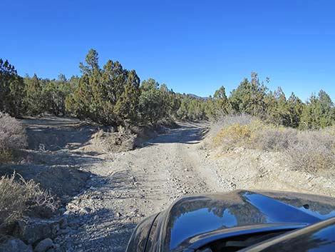
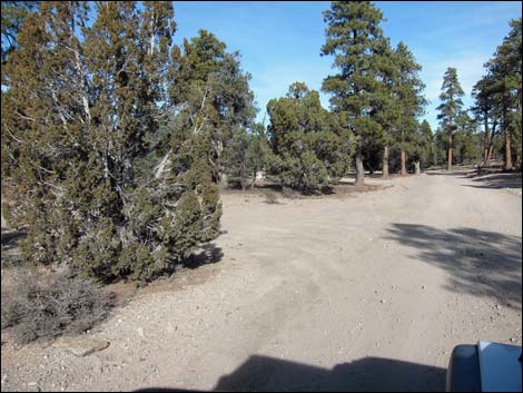 Desert Pass Campground, last campsites at north end (view N) |
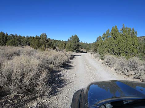
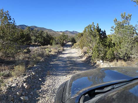
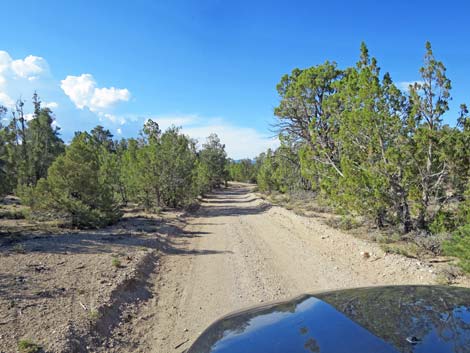 Beyond Desert Pass Campground (view N) |
 |
 |
 |
 |
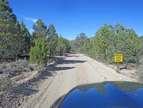 Sign: Warning -- Flash Flood Area |
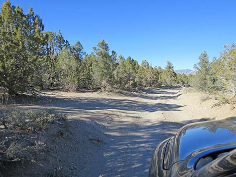
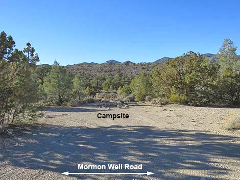
 Mormon Well Road approaching a campsite on the left (view E) |
 Campsite on the left (view N from Mormon Well Road) |
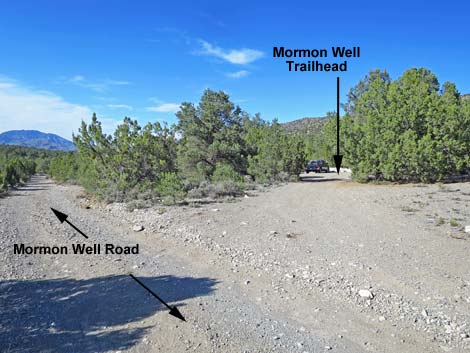
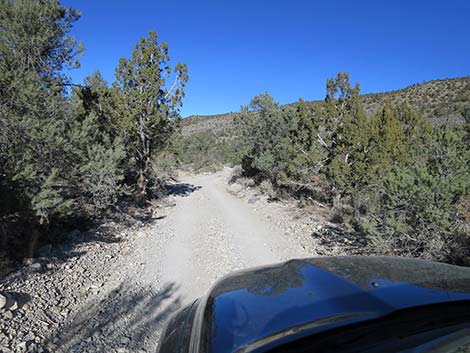
 Mormon Well Rd approaching Mormon Well South Trailhead (view NE) |
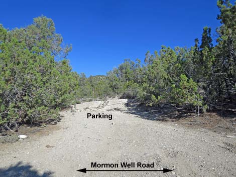 First parking for Mormon Well corral and spring (view NE) First parking for Mormon Well corral and spring (view NE) |
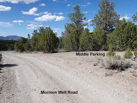 Mormon Well Road approaching middle parking area (view N) |
 Middle parking area (view E from Mormon Well Road) |
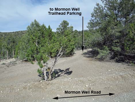
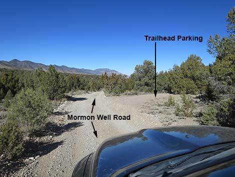 First turnoff to main trailhead for Mormon Well Corral (view N) |
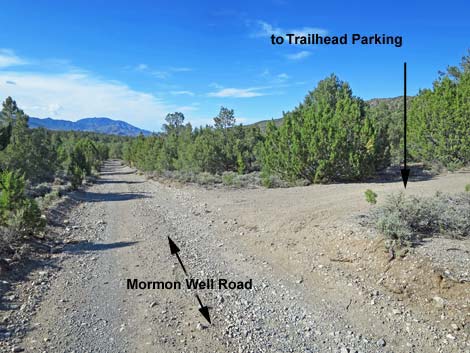
 First spur road to trailhead parking (view NE) |
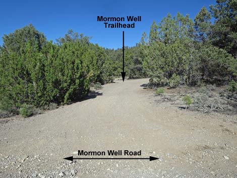
 Second turnoff to main trailhead for Mormon Well Corral (view N) |
 Second spur road to trailhead parking (view NE) |
 Third turnoff to main trailhead for Mormon Well Corral (view N) |
 Mormon Well Corral Road (view E from Mormon Well Road) |
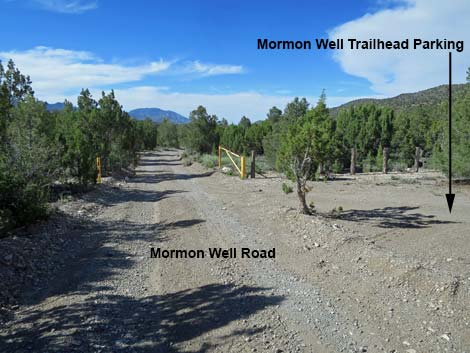
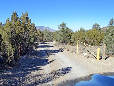 Gate for closing the road during washout conditions (view N) |
 Mormon Well Road beyond Mormon Well parking (view NE) |
 Mormon Well Road beyond Mormon Well parking (view NE) |
 |
 |
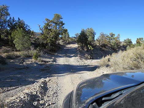
 Road becomes rougher and subject to washouts (view N) |
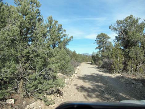
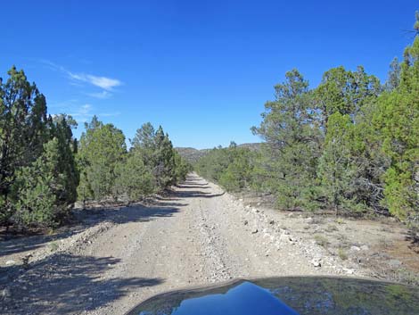
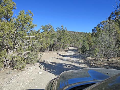
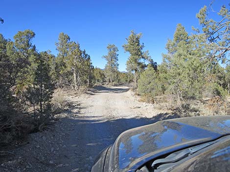
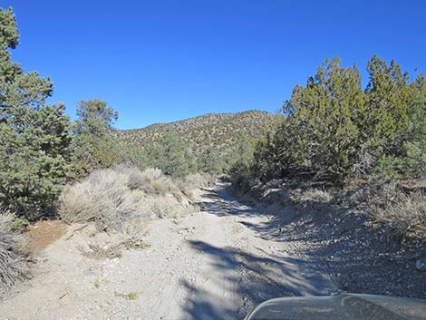
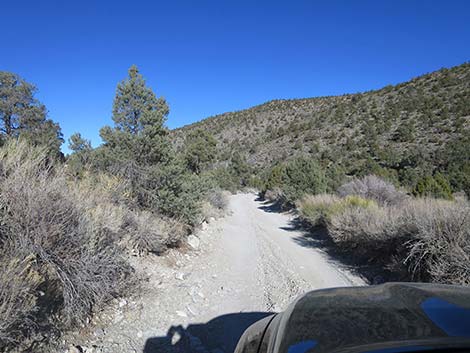
 Mormon Well Road (view N) |
 Mormon Well Road (view N) |
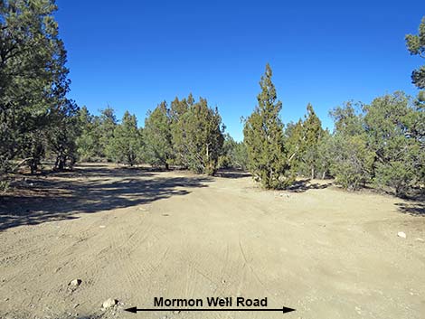
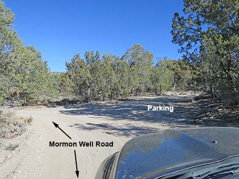
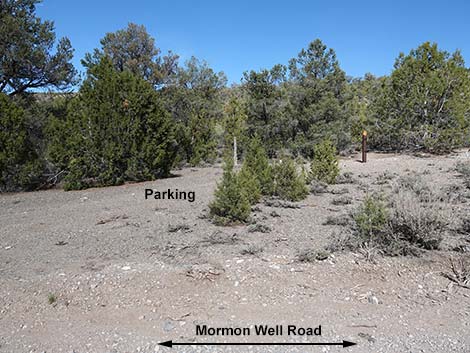
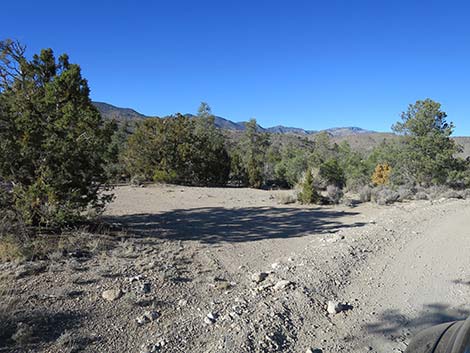
 Apparent spur road left is only parking (view N) |
 Apparent spur road is only parking (view N) |
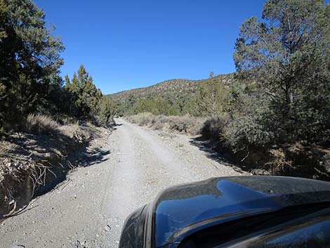
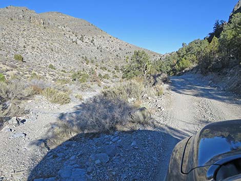
 Mormon Well Road (view N) |
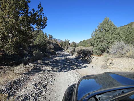
 Road follows wash ... |
 ... wash follows road (view N) |
 Road becomes narrow and subject to washouts (view N) |
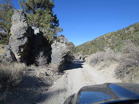 Approaching a rocky outcrop (view N) |
 Crossing a wash, subject to washout (view N) |
 Canyon opens, but still subject to washout (view N) |
 Crossing a wash, subject to washout (view N) |
 Mormon Well Road approaching a campsite along the road (view NW) |
 Campsite along the road (view W from Mormon Well Road) |
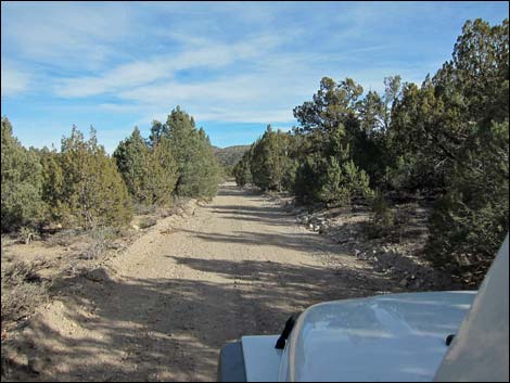
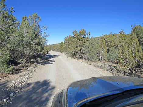
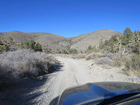
 Mormon Well Road (view N) |
 |
 |
 |
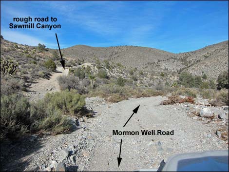 Mormon Well Road approaching Sawmill South Road (view N) |
 Mormon Well Road at Sawmill South Road (view N) |
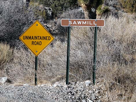 Signs at Sawmill South Road (view NW from Mormon Well Road) |
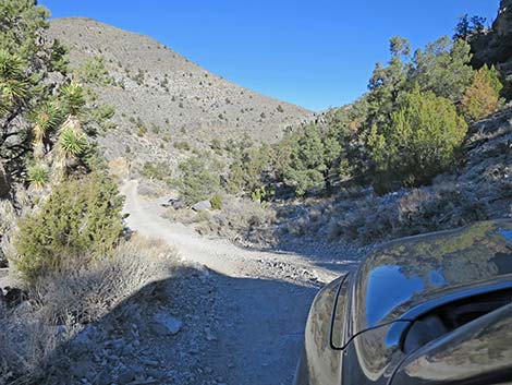
 Mormon Well Road (view N) |
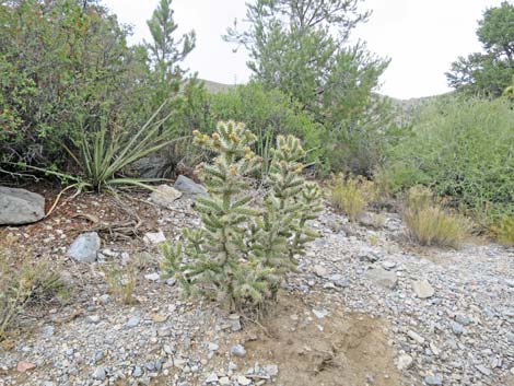 One of a few Blue Diamond Cholla in this area (view N) |
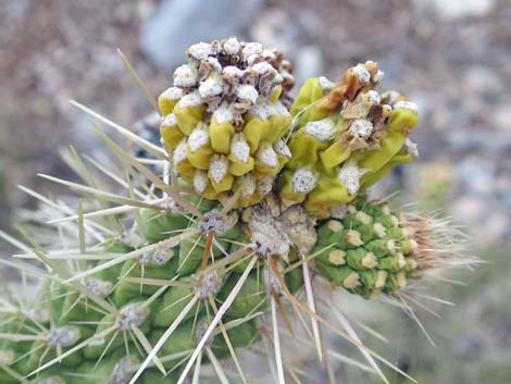 Naked fruits on a Blue Diamond Cholla |
 Steepest part of the road (often rough; view NW) |
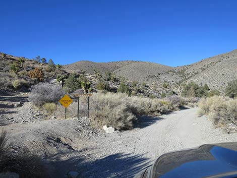
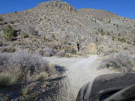 Mormon Well Road approaching Sawmill Canyon Road (view N) |
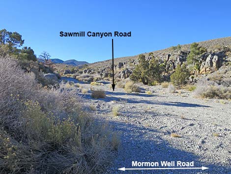 Mormon Well Road at Sawmill Canyon Road (view N) |
Happy Hiking! All distances, elevations, and other facts are approximate.
![]() ; Last updated 240324
; Last updated 240324
| Mormon Well Road | Backroads | Hiking Around Las Vegas | Glossary | Copyright, Conditions, Disclaimer | Home |