Backroads Around Las Vegas, Desert National Wildlife Refuge
previous section | next section
 |
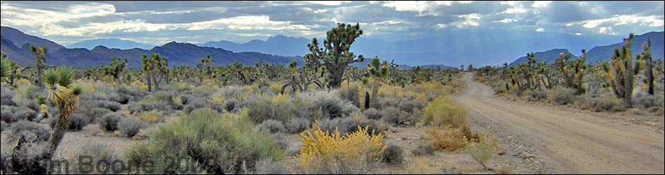
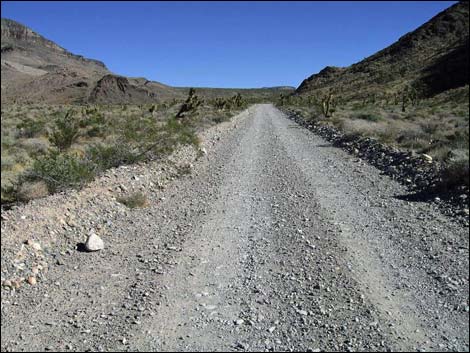
Overview The Mormon Well Road is a long, rough, dirt road that runs across the Desert National Wildlife Refuge from Corn Creek to Highway 93. The road runs across the desert and over the mountains through spectacular country, including towering limestone cliffs; broad, flat valleys; and narrow, winding canyons. The road runs through several desert vegetation life zones, starting in the very dry (stunted) Mojave Desert Scrub Zone and climbing to the Yellow Pine (Ponderosa Pine) Zone. The variety of life zones provides different habitats for birds and other wildlife. Details of the road (including GPS coordinates and maps) are presented on the Mormon Well Road webpage. Here photos show scenery and road conditions from Corn Creek to Yucca Gap, that is, from about 0 to 5 miles out. |
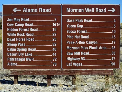
 Corn Creek Road at Mormon Well -- Alamo Road (view E) |
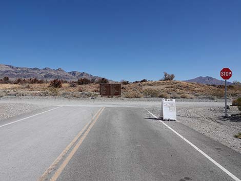
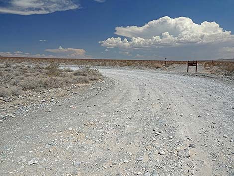
 Corn Creek Road, turning right onto Mormon Well Road (view S) |
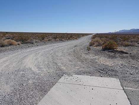
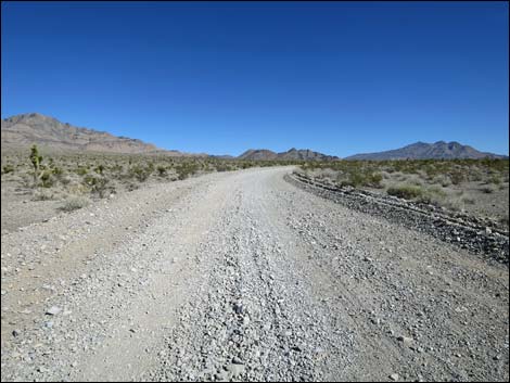
 Mormon Well Road starts out running due south (view S) |
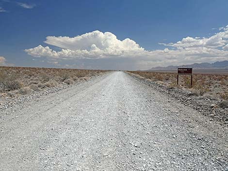
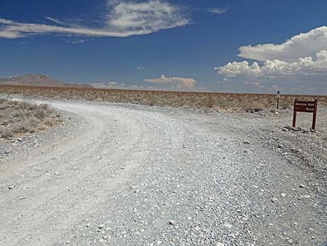
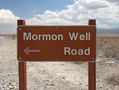
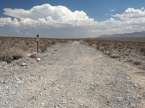
 Mormon Well Road at sign (view S) |
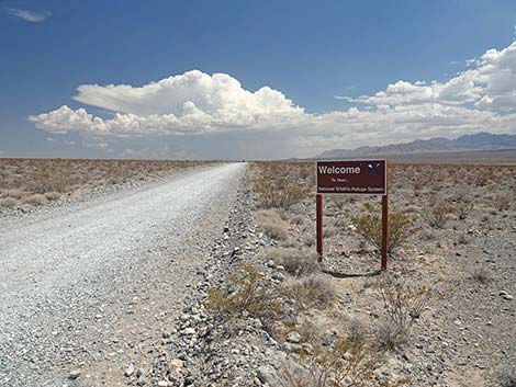
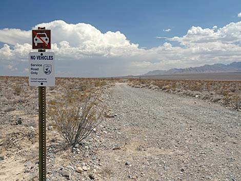
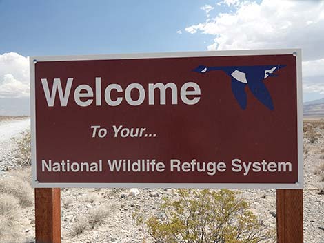 Sign: Welcome to your National Wildlife Refuge System (view S) |
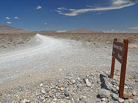
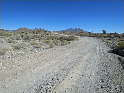
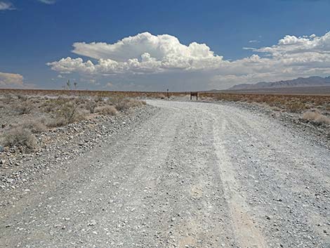 Mormon Well Road continues south to a curve (view S) |
 Mormon Well Road approaching a curve to the left (view S) |
 Mormon Well Road at curve to the left (view S) |
 Sign: Mormon Well Road turns left (view S) |
 Mormon Well Road turns left to head up the bajada (view E) |
 At the curve, a service road continues south (view S) |
 The service road is closed to private vehicles (view S) |
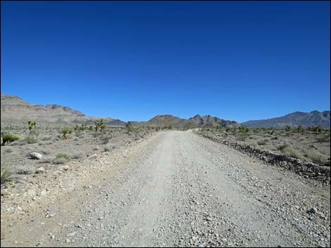
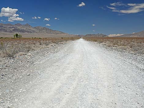 Mormon Well Road heading towards the mountains (view E) |
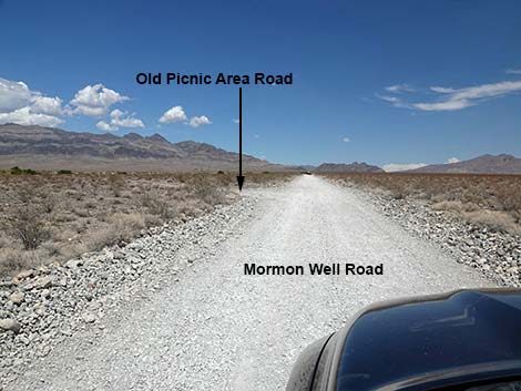 Mormon Well Road approaching Old Picnic Area Loop Road (view E) |
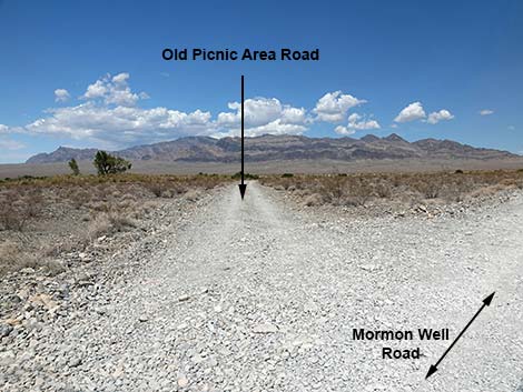 Old Picnic Area Loop Road (view NE from Mormon Well Road) |
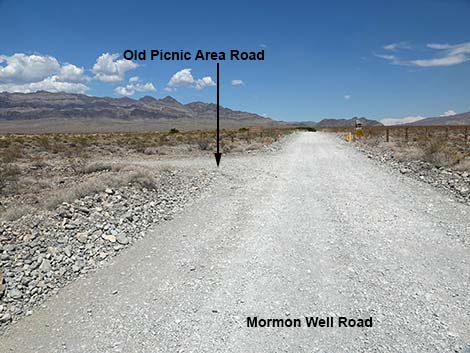 Mormon Well Road approaching Old Picnic Area Loop Road (view E) |
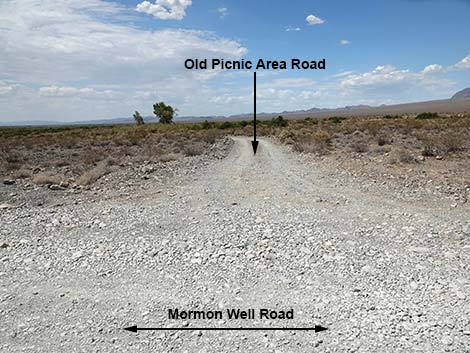 Old Picnic Area Loop Road (view N from Mormon Well Road) |
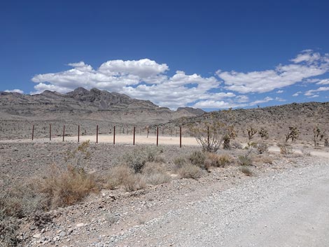
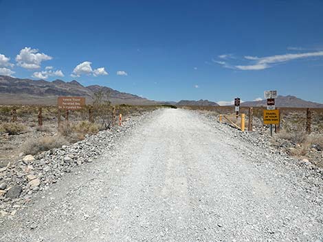 Mormon Well Road approaching a gate with signs (view E) |
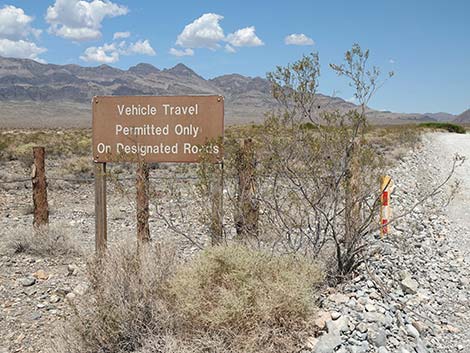 Sign at gate: vehicles on roads only (view NE) |
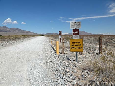 Sign at gate: Travel at your own risk (view E) |
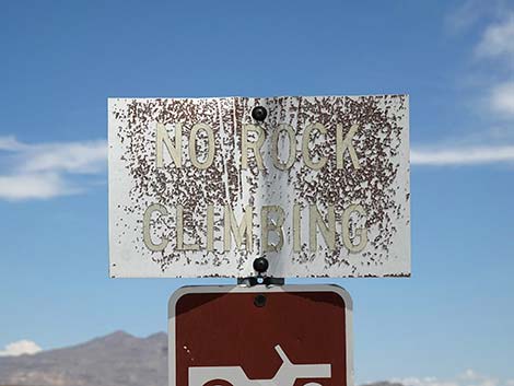 Sign at gate: No rock climbing (seems an odd rule; view SE) |
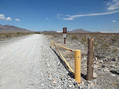 Mormon Well Road approaching the gate (view E) |
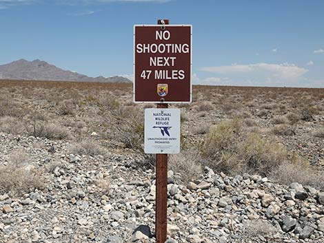 Sign past gate: No target shooting on the refuge (view SE) |
 Mormon Well Road approaching a small spring (view E) |
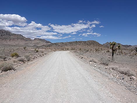
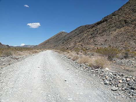
 Mormon Well Road continues up the hill towards mountains (view E) |
 Mormon Well Road approaching Yucca Gap (view E) |
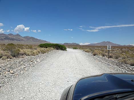
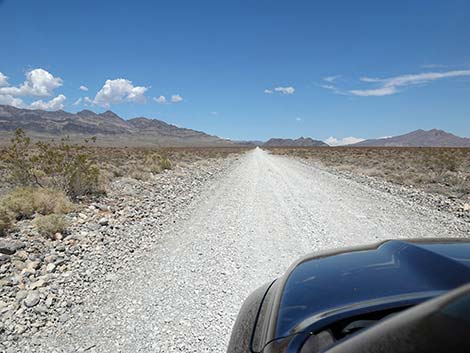
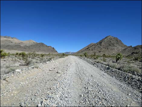
 Mormon Well Road, running up the bajada (view E) |
 Mormon Well Road, running up the bajada (view E) |
 Mormon Well Road, running up the bajada (view E) |
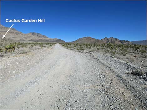
 Mormon Well Road approaching Cactus Garden Hill (view E) |
 Mormon Well Road at Cactus Garden Hill campsite (view NE) |
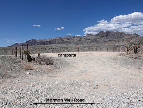 Cactus Garden Hill campsite (view N from Mormon Well Road) |
 Mormon Well Road, continues up the endless bajada (view E) |
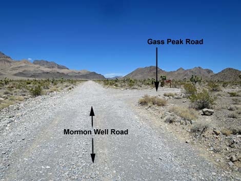 Mormon Well Road approaching Gass Peak Road (view E) |
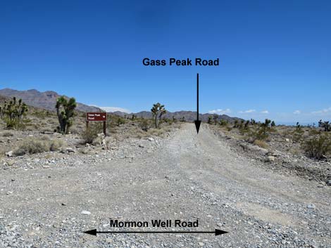 Gass Peak Road (view S from Mormon Well Road) |
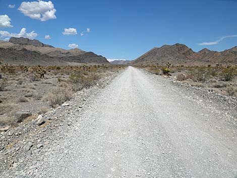
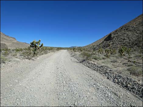
 Mormon Well Road approaching Yucca Gap (view E) |
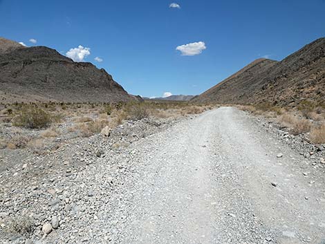 Mormon Well Road entering Yucca Gap (view E) |
 Mormon Well Road runs along the base of Fossil Ridge (view E) |
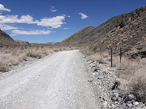 Mormon Well Road running along the edge of Fossil Ridge (view E) |
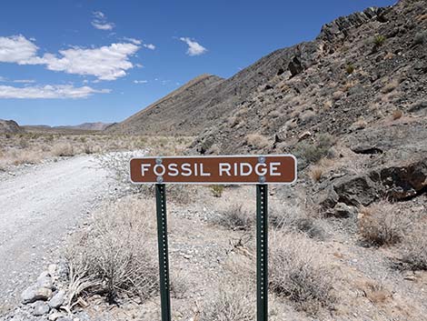 Fossil Ridge sign (view E) |
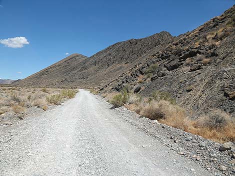 Mormon Well Road runs along the base of Fossil Ridge (view E) |
 Mormon Well Road in Yucca Gap (view E) |
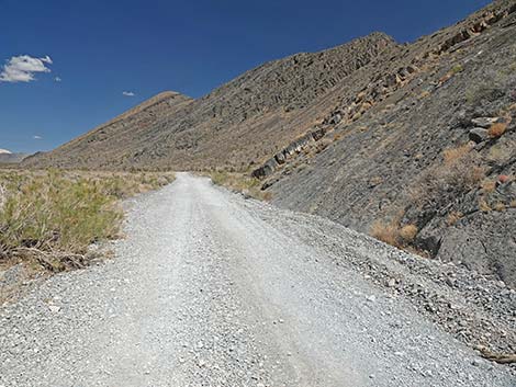 Mormon Well Road runs along the base of Fossil Ridge (view E) |
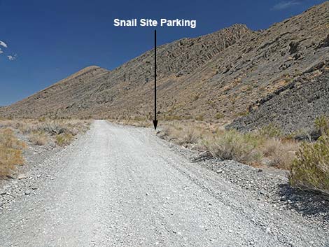 Mormon Well Road approaching Snail Fossil Site (view E) |
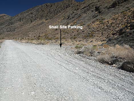 Mormon Well Road at Snail Fossil Site (view E) |
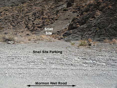 Snail Fossil Site parking (view S from Mormon Well Road) |
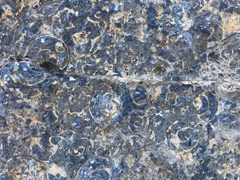 Snail shell fossil site (view S) |
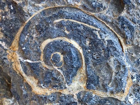 Snail shell fossil site (view S) |
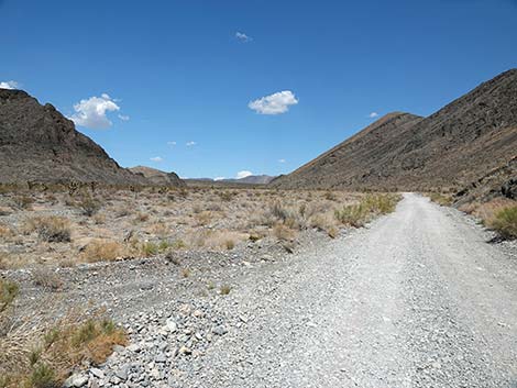
 Mormon Well Road traversing Yucca Gap (view E) |
 Mormon Well Road approaching exit from Yucca Gap (view E) |
Happy Hiking! All distances, elevations, and other facts are approximate.
![]() ; Last updated 240324
; Last updated 240324
| Mormon Well Road | Backroads | Hiking Around Las Vegas | Glossary | Copyright, Conditions, Disclaimer | Home |