Hiking Around Las Vegas, Desert National Wildlife Refuge
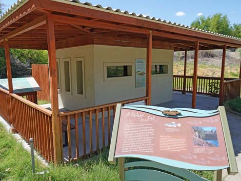
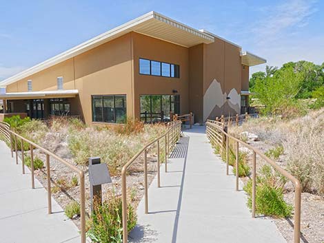
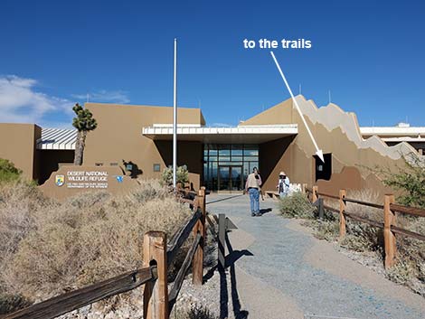 Visitor Center front door (view N) |
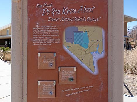
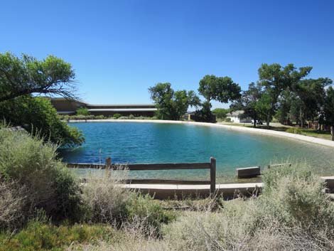
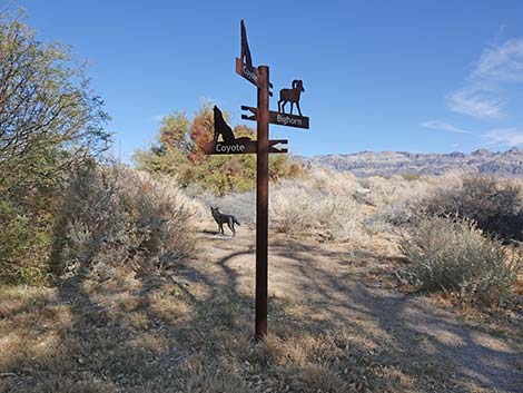
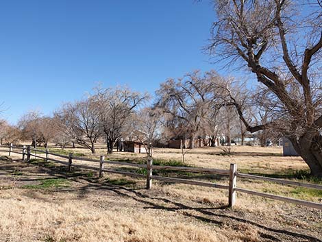
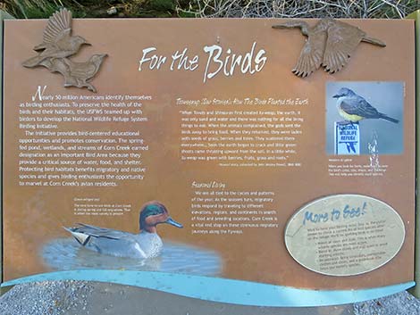
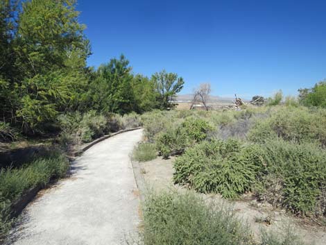
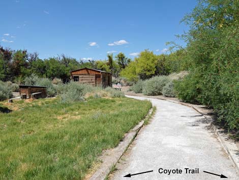
Overview The Coyote Loop Trail is a 0.6-mile ADA compliant trail that loops through the Corn Creek area. Corn Creek has been a birdwatching destination for decades, and now the Coyote Trail opens a bit of this area to persons in wheelchairs or with other walking issues, plus families with children in strollers. The trail has interpretive signs describing the ecology and human history of the area. Corn Creek is a tiny spot of green in a vast sea of desert-dry Mojave Desert Scrub. Springs provide water for trees, lush vegetation, desert wildlife, lots of birds (especially during migration), and even humans over the last several thousands of years. The ancients left their marks on the land, but most evidence of human use derives from pioneer and more recent times. Link to Trail Map. |
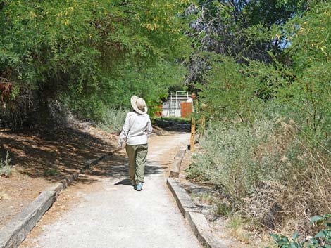
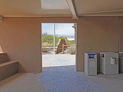
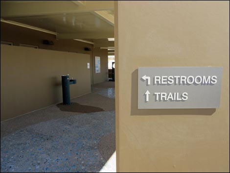 On the right: restrooms and to-the-trails! (view E) |
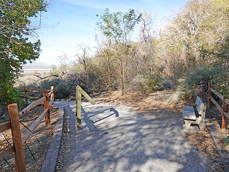
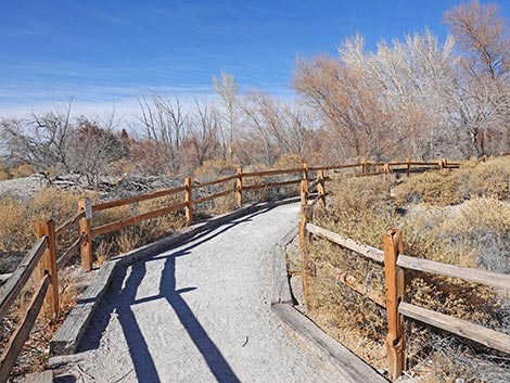
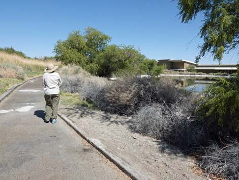
Watch Out Other than the standard warnings about hiking in the desert, ... this is a fairly safe hike if hikers stay on the trails as requested by refuge management. The Coyote Loop Trail is fairly level, although the first half generally is downhill, and the second half generally is uphill. The surfacing is smooth and looks like frozen mud, making one feel unsure about the footing on cold winter mornings. There are several benches where people can stop and rest or just relax and listen to the birds. While hiking, please respect the land and the other people out there, and try to Leave No Trace of your passage. Even though this trail is short, bring what you need of the 10 Essentials. Also, this is a wildlife refuge, so pay extra attention to respecting the land and wildlife. |
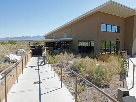
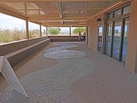
 Porch on the south side of the building (view N) |
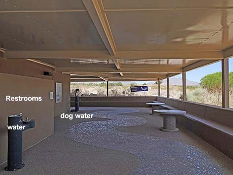
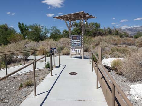
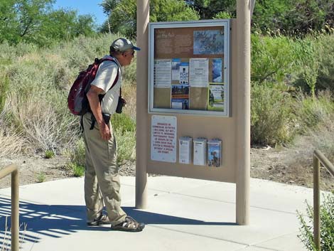
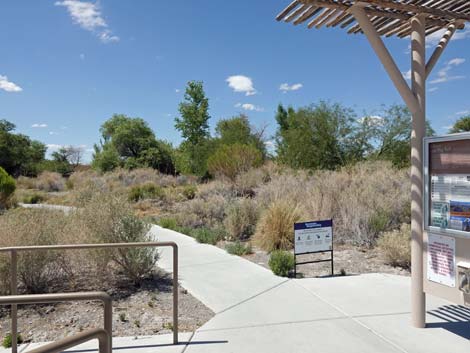
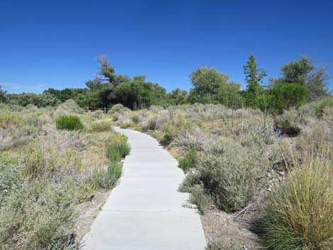
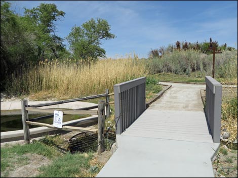
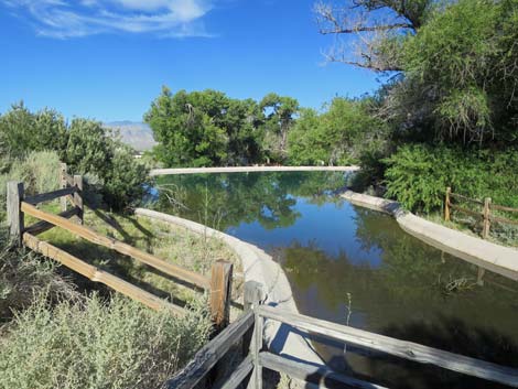
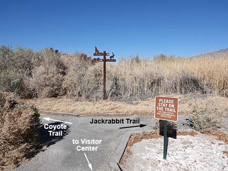
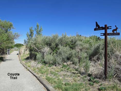
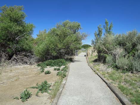
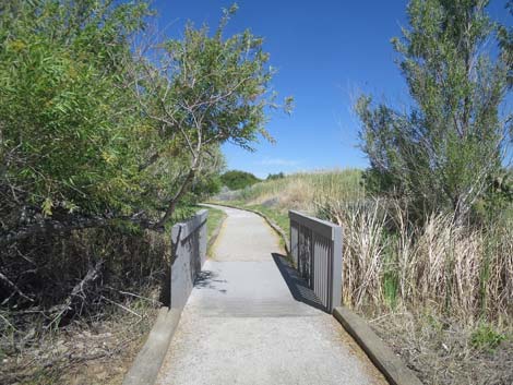
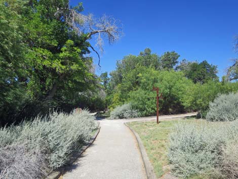
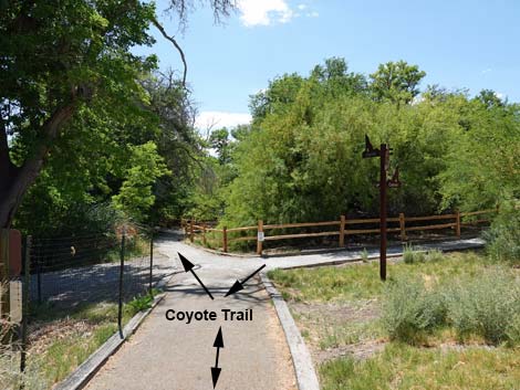
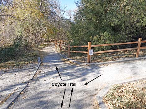
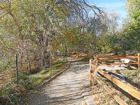
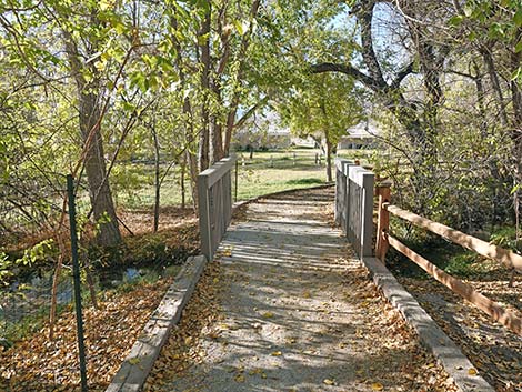
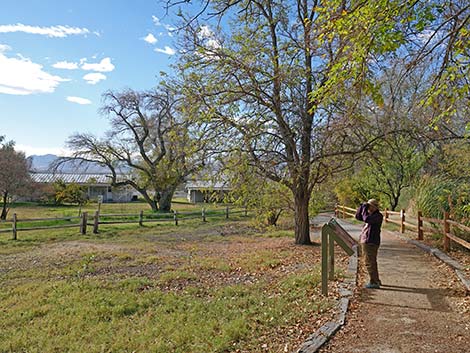
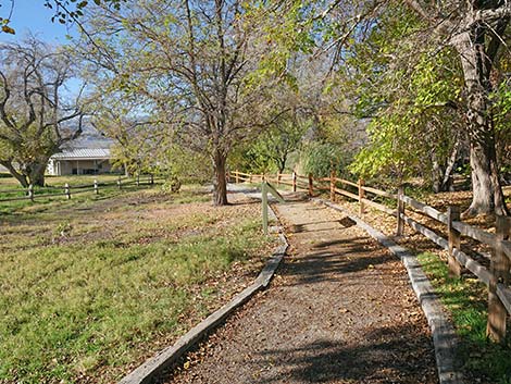
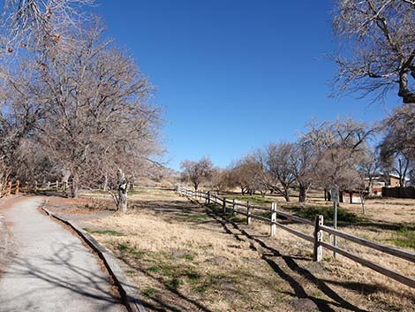
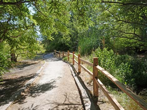
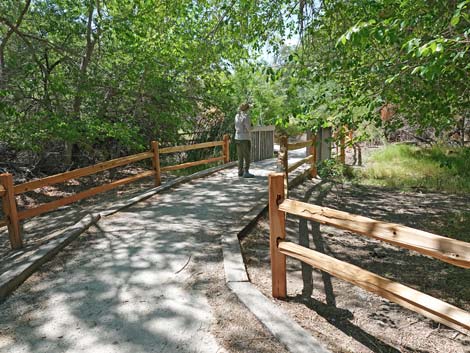
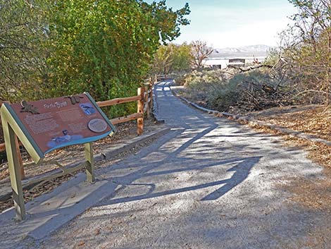
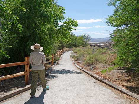
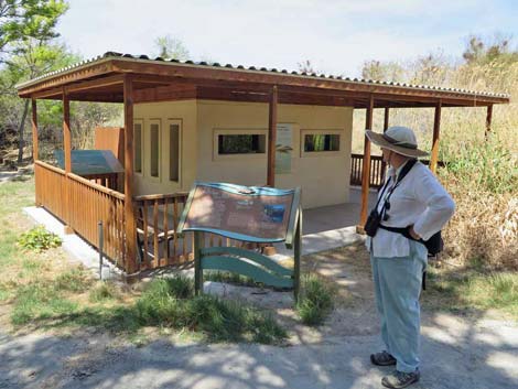
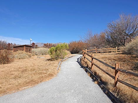
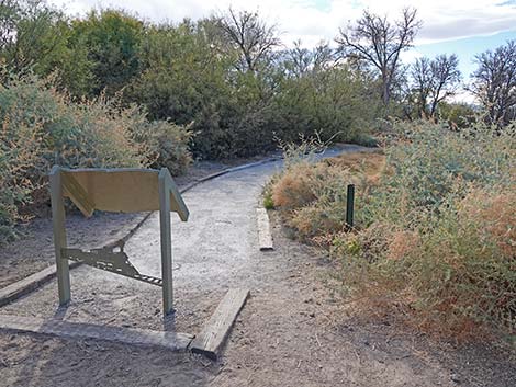
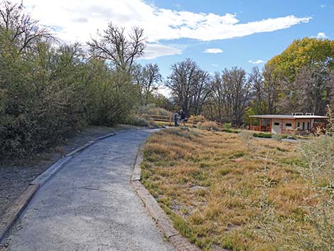
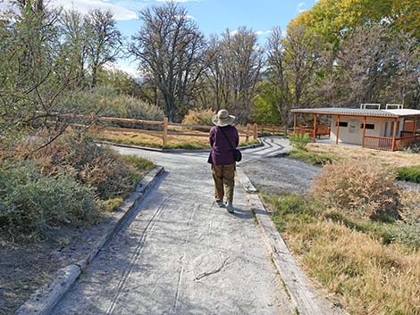
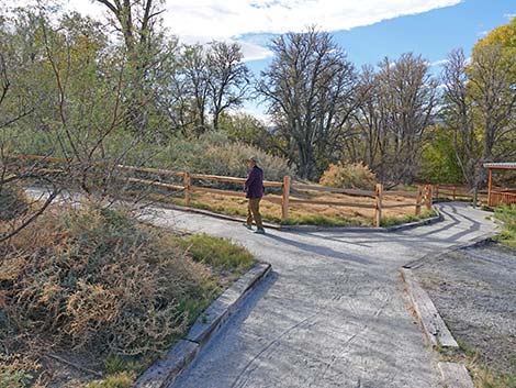
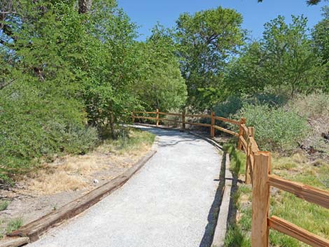
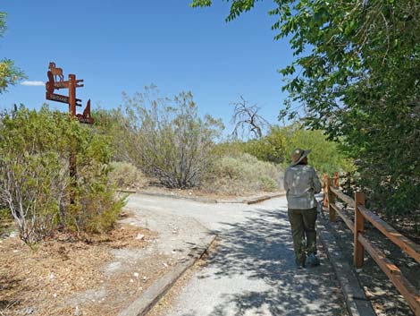
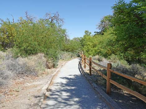
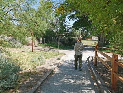
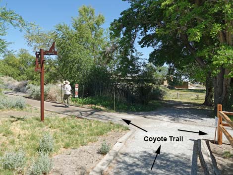
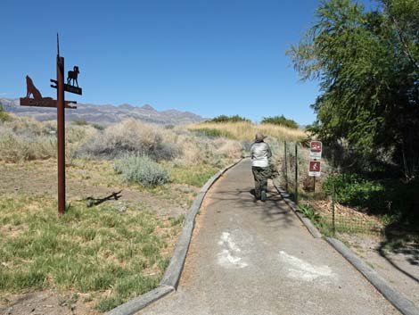
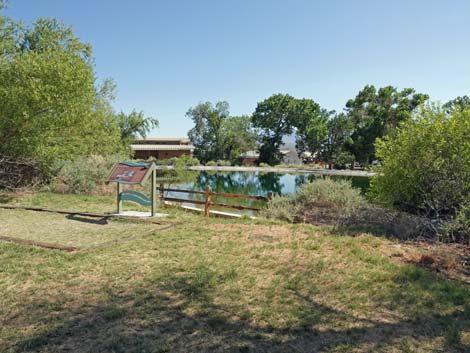
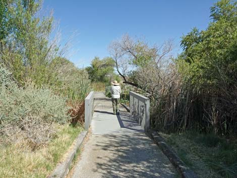
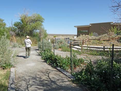
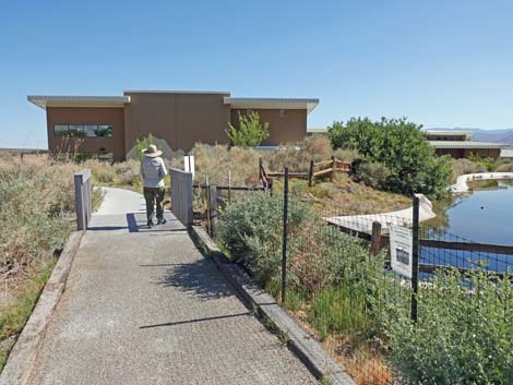
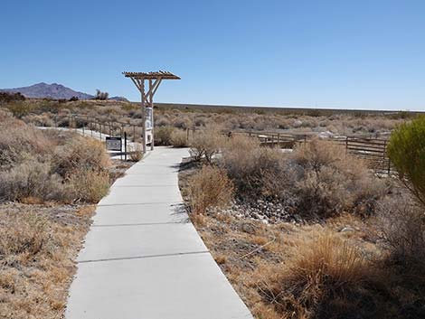
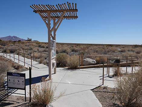
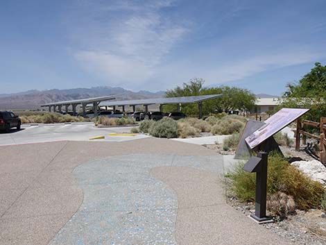
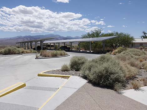
Getting to the Trailhead The Coyote Trail is located northwest of Las Vegas on the Desert National Wildlife Refuge behind the Corn Creek Visitor Center. This is about 30 minutes northwest of downtown Las Vegas. The Hike From the Visitor Center parking area (Table 1, Waypoint 00), hikers can walk into the Visitor Center and out the back of the building, or they can walk around outside the Visitor Center (through the doorway leading to a covered patio area with rest rooms and drinking water) to the northeast (far) corner of the building. A few steps beyond the building, the concrete trail arrives at a trail junction with an information kiosk (Wpt. 01). Here, the Coyote trail angles left and runs northwest to the Cement Pond. From the bridge over the Corn Creek, hikers can look out over the water hoping to see ducks, dragonflies, and perhaps a few thirsty birds or even a Great Blue Heron. |
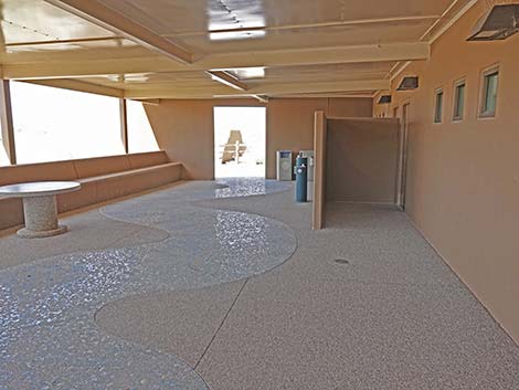
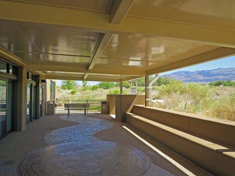 Porch wraps around the building to the trails (view N) |
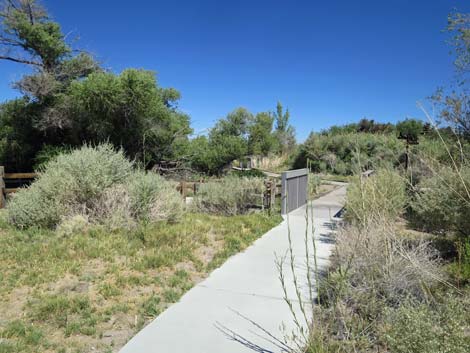
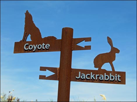
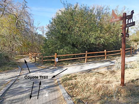
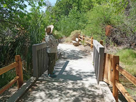
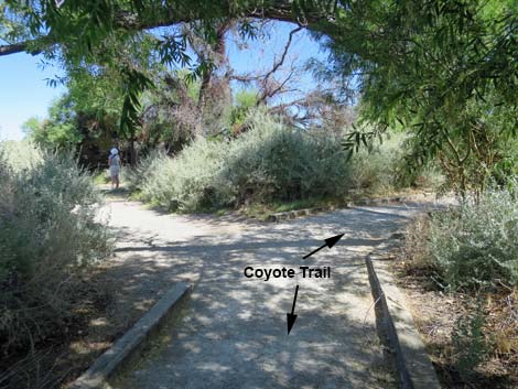
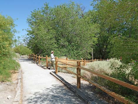
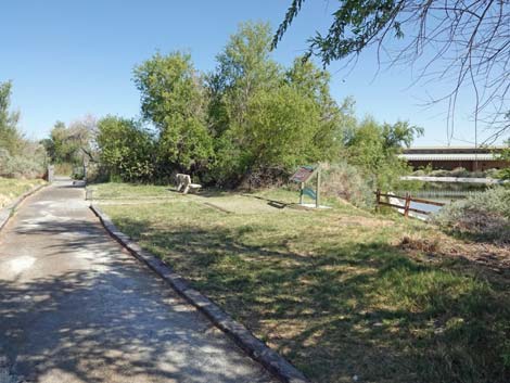
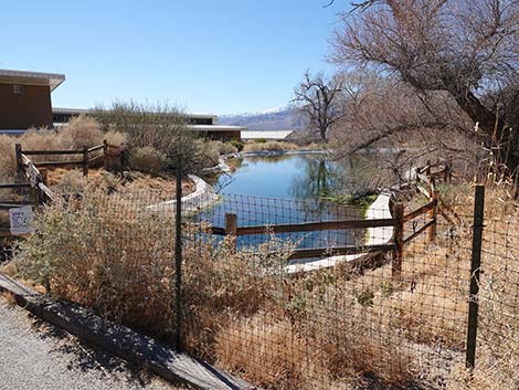
Just over the bridge, the trail reaches a signed trail junction (Wpt. 02). The Coyote Trail turns left (northwest), while the Jackrabbit Trail turns right (east) and loops back to the Visitor Center. Continuing to the left, the Coyote Trail wraps around the east and north sides of the Cement Pond, passing a viewing area with sunny benches overlooking the water. Just beyond the Cement Pond, the Coyote Trail reaches another signed trail junction (Wpt. 03). Notice the bronze coyote in the bushes on the right! At this point, the Coyote Trail forks and begins to make a loop. My habit is to continue straight looking for birds along Corn Creek (the flowing stream), but it is a loop, so hikers can walk in either direction. |
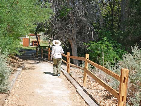
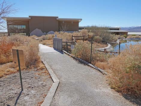
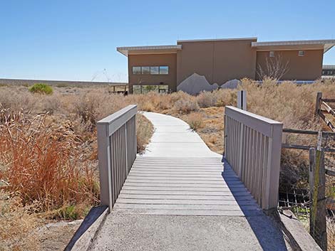
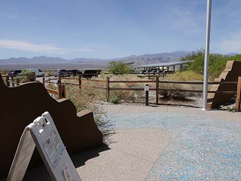
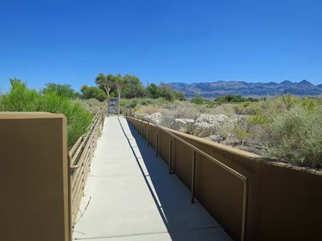 Walkway to the trails (view N) |
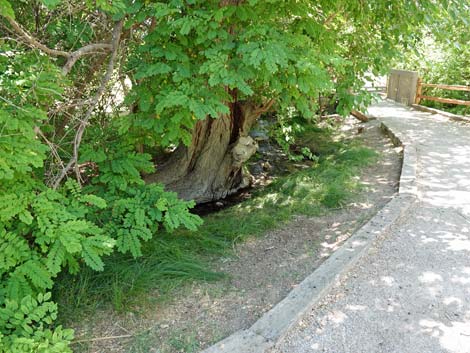
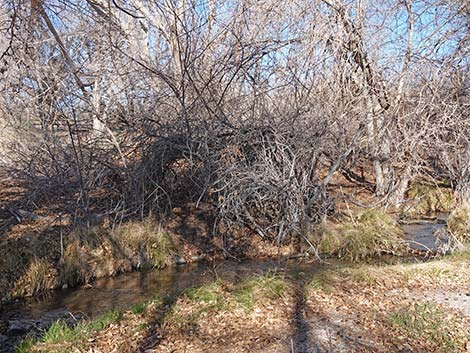
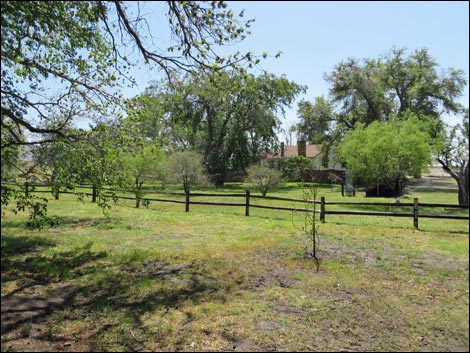
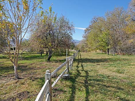
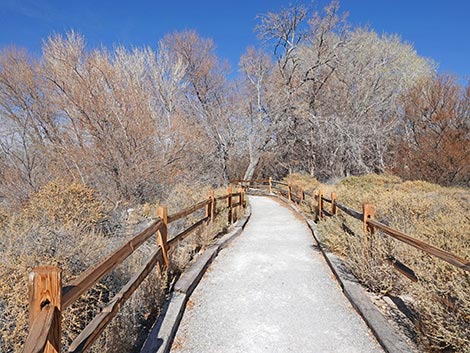
Continuing straight, the trail winds down along Corn Creek. The trail starts on the north side, then crosses a bridge to the south side of the stream. Beyond the bridge, the trail enters the old orchard where trees planted by the original homesteaders still produce some fruit. The old trees aren't in very good shape, but look for fig, pomegranate, apple, and other fruit trees. Fruit trees have recently been planted in the historic orchard to better replicate what the early homesteaders might have harvested. Notice that the largest pecan tree in Nevada sits adjacent to the trail. Here, along Corn Creek with shrub thickets to the north and fruit trees to the south, is a good place to watch birds. Continuing along the stream, the trail crosses a bridge to the north side of the stream and arrives at a bench. Sit a spell and listen to the running water and the birds. |
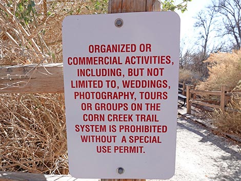 This, and similar signs, are posted in several areas |
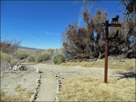
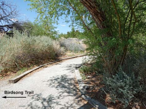
The area ahead to the left is the old pasture, but with Corn Creek now flowing out there, cattails, invasive Common Reed, invasive Common Sunflower, willow trees, and other marsh plants are taking over. Beyond the pasture, the trail climbs an embankment that was part of the dike around historic Ponds 2 and 3, now drained. The old ponds are growing in with cattails, willows, and cottonwood trees. A bridge over a wet area leads to the north side of the old ponds. Past the old ponds, the trail forks. The Coyote Trail bends right, while the trail to the left follows a service road left to the Birdsong Trail. |
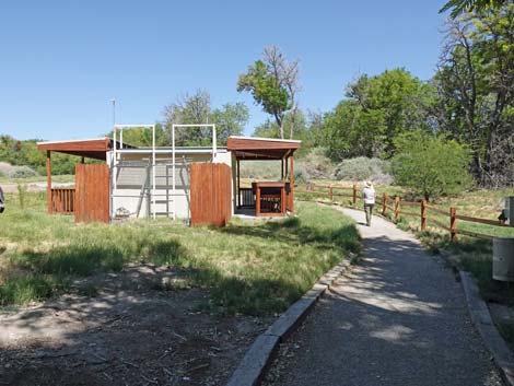
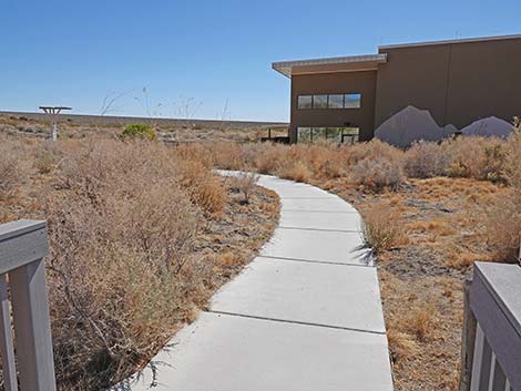
 All trail runs out to an information kiosk (view NE) |
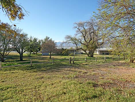
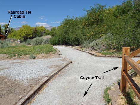
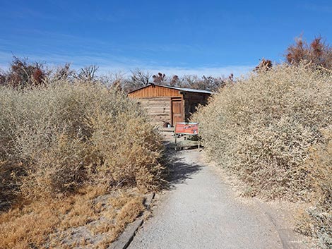
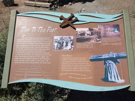
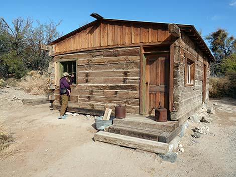
Staying on the Coyote Trail, hikers pass historical Pond 2 and shortly arrive at the Pahrump Poolfish Refugium, a big aquarium (two side-by-side tanks) where some of the last Pahrump Poolfish cling to life after their spring in Pahrump dried up when developers took too much groundwater. It is nice that people cared enough to collect the last of the poolfish and keep them alive in this and a few other refuge areas (now including the Cement Pond). Signs describe the fish and their plight. Just beyond the poolfish refugium, the trail forks again (Wpt. 26). To the left a few yards lies the historical Railroad-tie Cabin. The cabin has been somewhat restored, and visitors can look through the windows to see the restored interior and what it might have looked like when people lived here. Lucky visitors might find the door unlocked. The Honey Mesquite trees around the cabin provide good habitat for migrant warblers and resident Verdins. |
 Birder at information kiosk (view NE) |
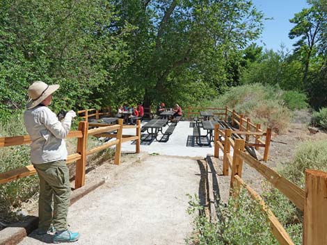
Back on the main trail, the Coyote Trail runs up over a low hill shaded with black locust and Siberian elm trees. To the right picnic tables invite another chance to sit and watch birds. This is where the Virginia Warblers seem to spend their time. The Coyote Trail continues down the other side of the little hill and passes a T-intersection where the Bighorn Trail comes in from the left. Just ahead, the Coyote Trail arrives at yet another T-intersection (Wpt. 03) where the Coyote Trail closes the loop. To the left, the Coyote Trail runs back past the Cement Pond to the visitor center, which can be seen ahead in the not-to-far distance. Returning to the visitor center, be sure to stop in and report any unusual bird and wildlife observations so that other hikes can keep an eye out for your finds. After that, hikers can return to the trailhead parking area (Wpt. 00). |
 Quiz on backside of information kiosk (view SW) |
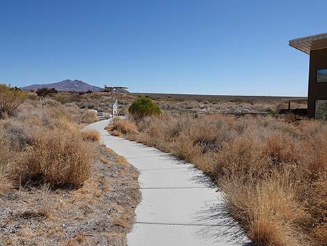
 Coyote Trail angles left at the kiosk (view N) |
 Coyote Trail departing the kiosk (view NW) |
 Coyote Trail runs out past the kiosk (view NW) |
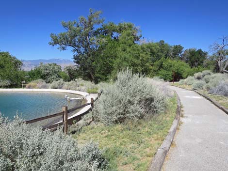
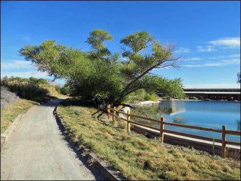
 Coyote Trail approaching the Cement Pond (view NW) |
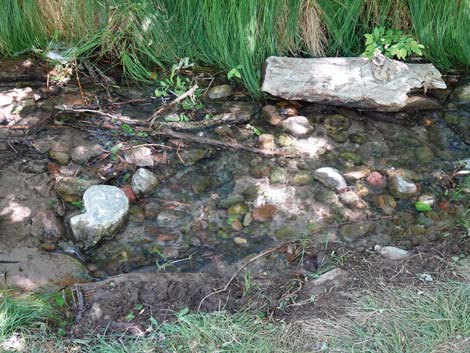
 Bridge over Corn Creek Stream (springs to the right; view N) |
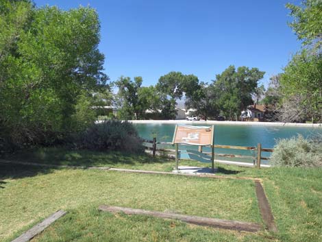
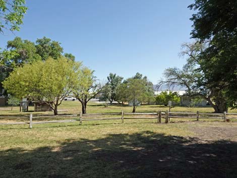
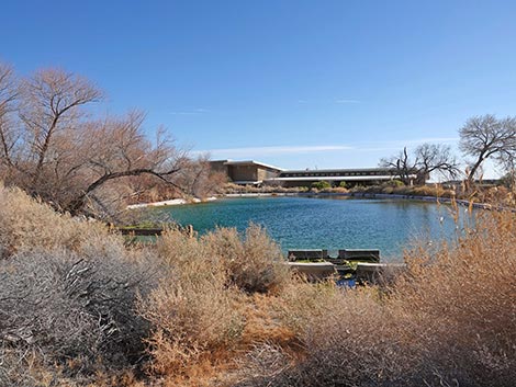
 Cement Pond (view W from the bridge) |
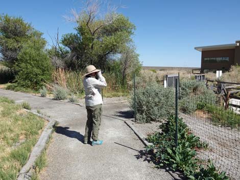
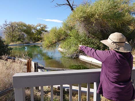 A birder spots something interesting (view W) |
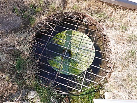 Water control structure intended to keep crayfish out of the pond |
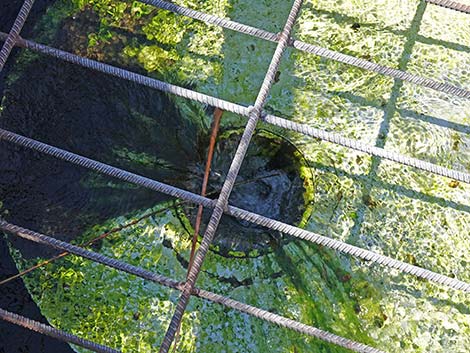 Water control structure intended to keep crayfish out of the pond |
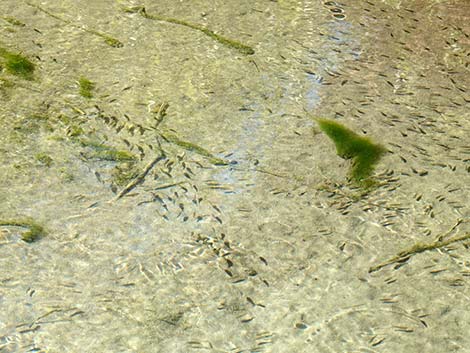 Pahrump Poolfish in the Cement Pond |
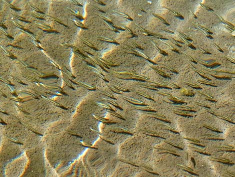 Pahrump Poolfish in the Cement Pond |
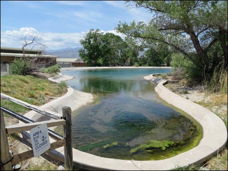 Cement Pond (view W) |
 Continuing across the bridge (view N) |
 Trail forks: Coyote Trail turns left (view N) |
 Trail junction: Coyote left; Jackrabbit left (view N) |
 Coyote Trail runs to the left (view NW) |
 Coyote Trail continues (view NW) |
 Coyote Trail approaching another bridge (view NW) |
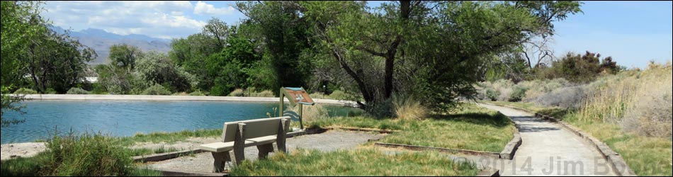
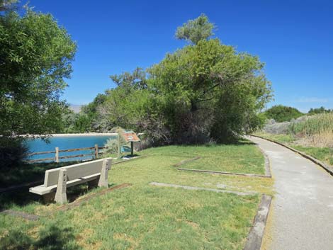 Bench at the Cement Pond (view N) |
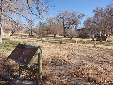
 Information sign |
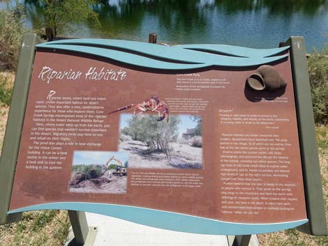 Information sign: Riparian Habitats (view SW) |
 Coyote Trail wraps around north end of Cement Pond (view W) |
 North end of Cement Pond (view S towards Visitor Center) |
 Approaching a trail junction (view W) |
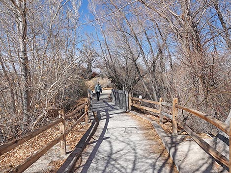
 Approaching trail junction: Coyote Trail "loop" starts here (view W) |
 Trail junction: Coyote Trail "loop" starts here (view W) |
 Art in the park (view N towards coyote sculpture) |
 As described here, the Coyote Trail stays left at the fork (view W) |
 Coyote Trail approaching another bench (view SW) |
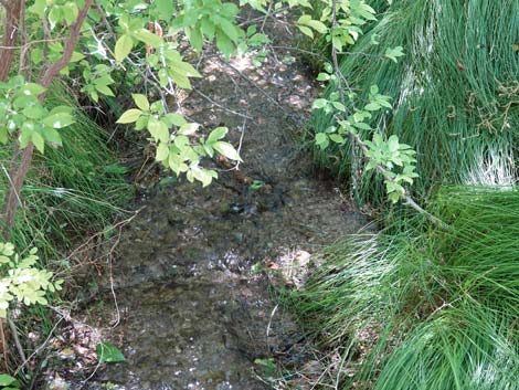
 Coyote Trail runs along the outflow stream (view SW) |
 Listen to the sounds of a babbling brook |
 Coyote Trail approaching bridge over outflow stream (view SW) |
 Watch for birds bathing in the stream |
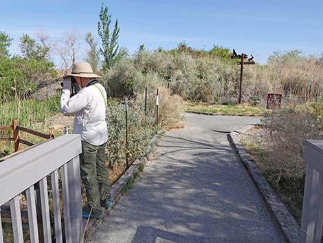
 Birdwatcher scanning the trees (view W) |
 Streamside vegetation and sparrows bathing during winter |
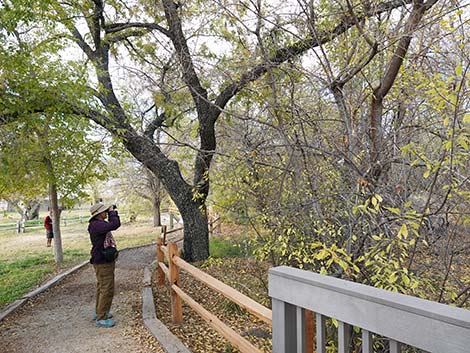
 Birdwatcher scanning the old orchard and trees beyond (view W) |
 West end of the old orchard and mulberry trees (view SE) |
 Fence in the orchard separates public from non-public spaces (view W) |
 Approaching an information sign (view W) |
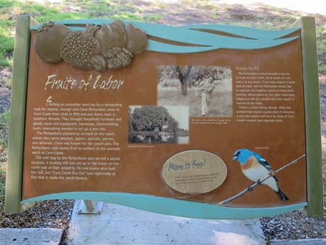 information sign: Fruits of Labor (view S) |
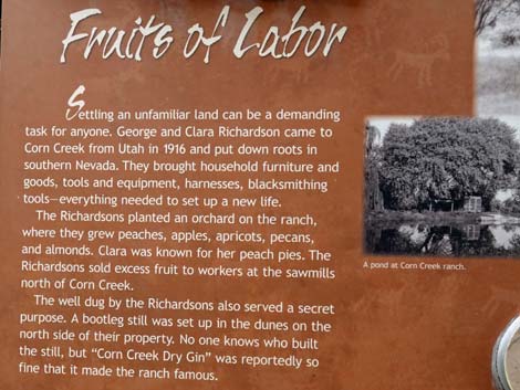 information sign: Fruits of Labor |
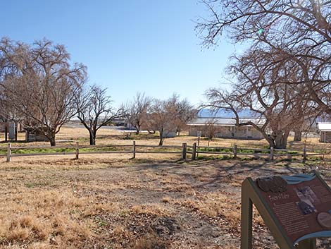 The orchard during winter |
 The orchard during winter |
 Looking out at the old orchard (view S) |
 Looking right across the old orchard (view SW) |
 Winter in the orchard |
 Winter in the orchard |
 Coyote Trail continues along the stream (view SW) |
 Coyote Trail continues along the outflow stream (view SW) |
 Birder on the last bridge over the outflow stream (view SW) |
 Approaching another bench and information sign (view NW) |
 Coyote Trail continues on other side of the stream (view SW) |
 Information sign: For the Birds |
 Coyote Trail continues on other side of the stream (view SW) |
 Pocket gophers seem happy out here (view down) |
 Trail bends around to the right (view NW; summer) |
 The big old cottonwood has died and fallen over (winter) |
 Trail runs into a tunnel of trees (view NE; winter) |
 Bridge over another small stream (view N; winter) |
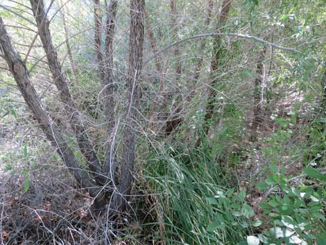 Thicket upstream from the bridge (view E) |
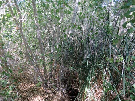 Thicket downstream from the bridge (view W) |
 Across the bridge, trail forks: Coyote right; Birdsong Trail left (view N) |
 Birdsong Trail (view NW from Coyote Trail) |
 Coyote Trail bends right (view NE) |
 Coyote Trail bends right (view NE) |
 Coyote Trail loops back towards the Visitor Center (view E) |
 Trail runs up along side of historical Pond 2 (view E) |
 Birder walking along old Pond 2 (view E) |
 Approaching the Pahrump Poolfish Refugium (view E) |
 Poolfish Refugium with information sign (view NW) |
 Poolfish Refugium with information sign (view NW) |
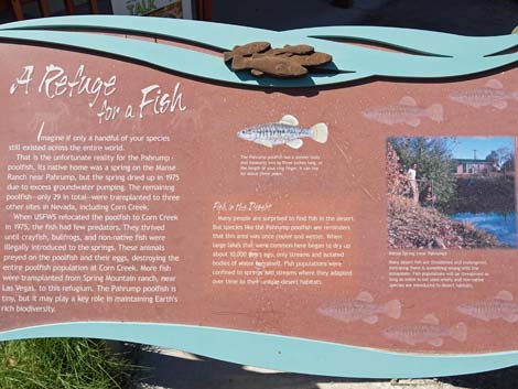 Information sign: A Refuge for a Fish (view NW) |
 Coyote Trail continues past the Poolfish Refugium (view E) |
 Trail forks: Coyote Trail stays right (view NE) |
 Railroad-tie Cabin Trail (view E from Coyote Trail) |
 Spur trail to Railroad-tie Cabin and information sign (view NE) |
 Information sign: Ties to the Past |
 Railroad-tie Cabin (view N) |
 Departing the Railroad-tie Cabin (view S) |
 Railroad Spur Trail leads back to main Coyote Trail (view S) |
 Hiker on Railroad Spur Trail approaching main Coyote Trail (view S) |
 Hiker back on main Coyote Trail (view S from Railroad Spur Trail) |
 Continuing on Coyote Trail (view SE) |
 Birder at spur trail to outdoor classroom (view SE) |
 Outdoor classroom (not a picnic area; view S) |
 Trail forks: Coyote right; Bighorn left (view SE) |
 Coyote Trail continues (view SE) |
 Birder approaching another trail junction (view SE) |
 End of the Coyote Trail loop (view SE) |
 Coyote Trail continues left towards Visitor Center (view SE) |
 Birder approaching the Cement Pond (view SE) |
 Coyote Trail passing the Cement Pond (view SE) |
 Cement Pond (view S; winter) |
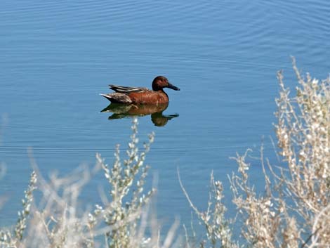 Watch of unexpected birds in the desert (Cinnamon Teal) |
 Trail continues along the Cement Pond (view SE) |
 Coyote Trail passing the Cement Pond overlook (view S) |
 Birder crossing another bridge (view S) |
 Coyote Trail passing the Cement Pond (view S) |
 Trail forks: Coyote Trail right; Bighorn Trail left (view SE) |
 Coyote Trail returning to the bridge over Corn Creek Stream |
 Birder crossing bridge over Corn Creek Stream (view S) |
 Cement Pond (view SW) |
 Bridge over Corn Creek Stream |
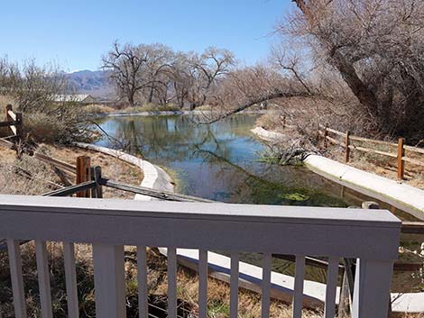 Cement Pond (view W from the bridge) |
 Coyote Trail continues past the bridge (view S) |
 Coyote Trail continues (view SE) |
 Coyote Trail returning towards the information kiosk (view SE) |
 Coyote Trail stays right the information kiosk (view SE) |
 Trails to front and back of the Visitor Center (view NW) |
 Coyote Trail returning to the front of the Visitor Center (view SE) |
 East side, patio area (view S) |
 South side, patio area (view W) |
 Approaching exit from the patio area (view W) |
 Exiting the patio area towards the parking lots (view W) |
 Returning to the parking lot (view W) |
 Returning to the parking lot (view W) |
 More to come ... |
Table 1. Highway Coordinates and Distances based on GPS Data (NAD27). Download Highway GPS Waypoints (gpx) file.
| Wpt. | Location | UTM Easting | UTM Northing | Elevation (ft) | Point-to-Point Distance (mi) | Cumulative Distance (mi) |
|---|---|---|---|---|---|---|
| 00 | Parking | 647195 | 4033585 | 2,912 | 0.00 | 0.00 |
| 01 | Trailhead | 647234 | 4033649 | 2,956 | 0.06 | 0.06 |
| 02 | Coyote Tr at Jackrabbit Tr | 647206 | 4033675 | 2,940 | 0.03 | 0.08 |
| 03 | Trail Junction | 647116 | 4033705 | 2,940 | 0.06 | 0.14 |
| 26 | Trail Junction | 647045 | 4033739 | 2,929 | 0.21 | 0.35 |
| 25 | Trail Junction | 647084 | 4033730 | 2,932 | 0.03 | 0.38 |
| 03 | Trail Junction | 647116 | 4033705 | 2,940 | 0.03 | 0.41 |
| 02 | Coyote Tr at Jackrabbit Tr | 647206 | 4033675 | 2,940 | 0.06 | 0.47 |
| 01 | Trailhead | 647234 | 4033649 | 2,956 | 0.03 | 0.49 |
| 00 | Parking | 647195 | 4033585 | 2,912 | 0.06 | 0.55 |
Happy Hiking! All distances, elevations, and other facts are approximate.
![]() ; Last updated 250205
; Last updated 250205
| Hiking Around DNWR | Hiking Around Las Vegas | Glossary | Copyright, Conditions, Disclaimer | Home |