Basin and Range National Monument, Rock Art Around Las Vegas
Rock art is a precious resource -- please help protect and preserve these sites
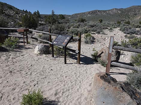
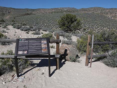
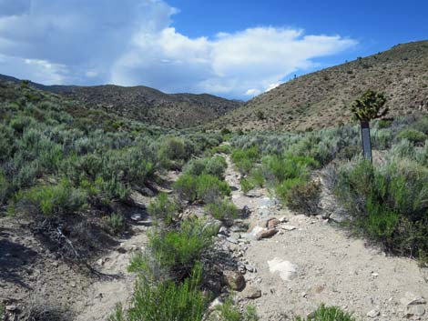
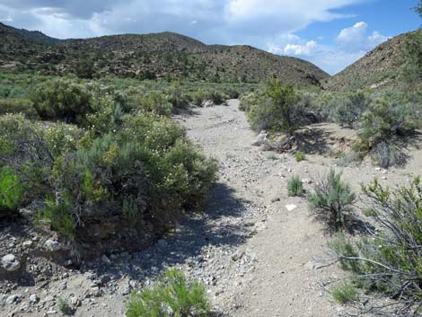
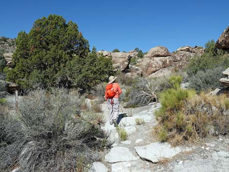
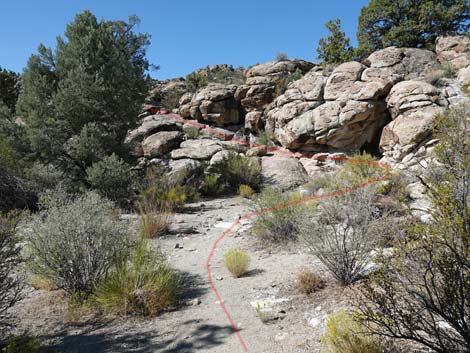
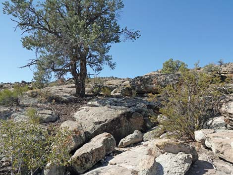
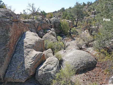
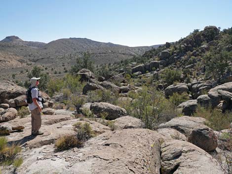
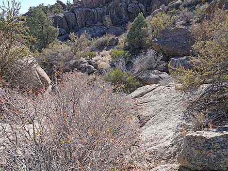
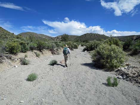
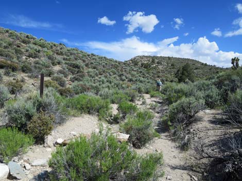
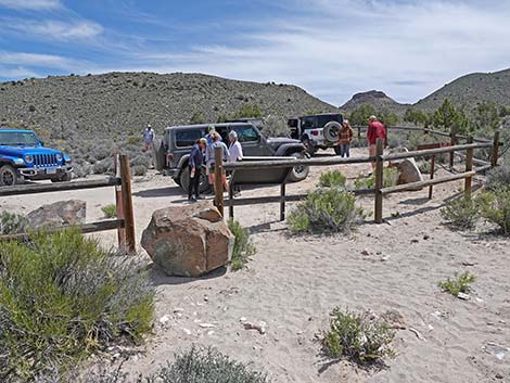
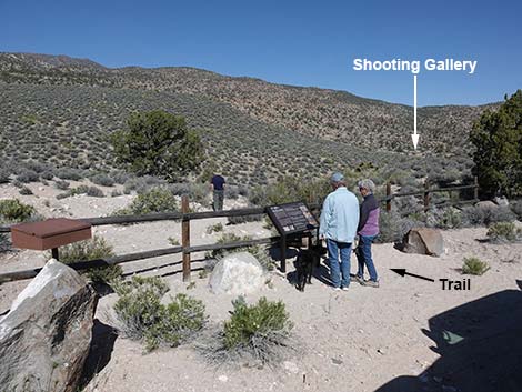 Shooting Gallery trailhead parking (view NW) |
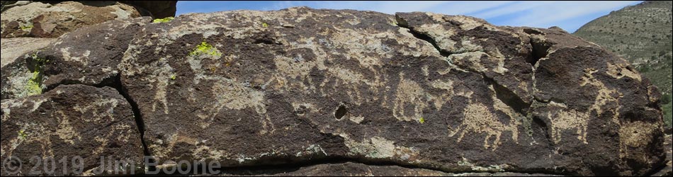
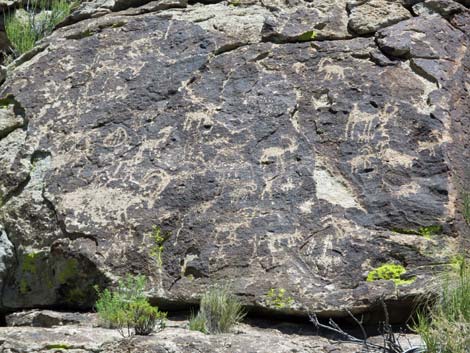
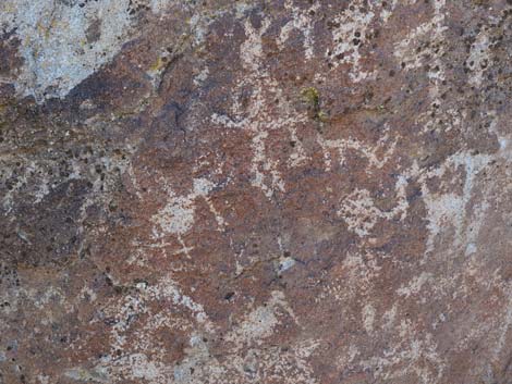
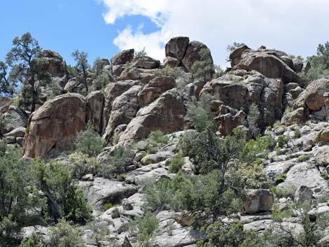
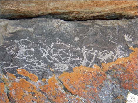
Overview The Shooting Gallery Petroglyph Site, located in a disjunct section of Basin and Range National Monument, is an area of desert-varnished volcanic boulders in a bowl-shaped mountain valley. Over the last 6,000 years, people stayed here seasonally, flaking stones, building fires, breaking ceramic vessels, and etching the rocks with abstract and representational (e.g., bighorn sheep and human figures) images to record their stories. This is an area to wander about, marvel at the plethora of petroglyphs and lithic scatter (chips of stone left when making arrowheads and other tools), and consider the lives of people who lived and raised their children here for thousands of years. The BLM and Lincoln County opened this area to the public, and Lincoln County printed a brochure with information about the site (including GPS coordinates) as part of their Get Primitive tourism campaign. Download the brochure from Lincoln County or snatch a copy here. A newer guide (4MB PDF) is also available (or here). Link to map. |
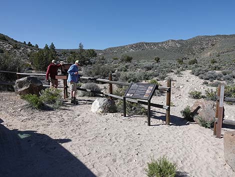 Hikers at the sign-in register (view S) |
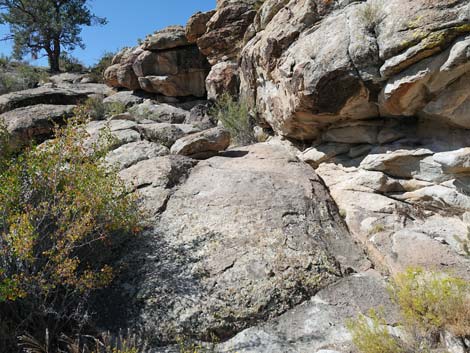
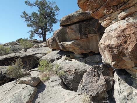
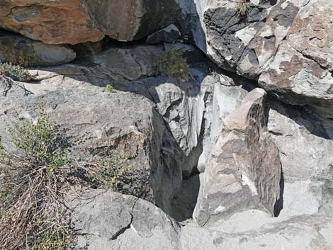
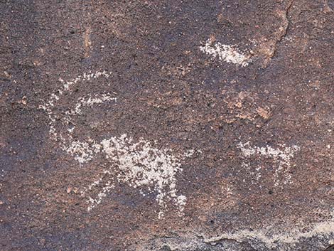
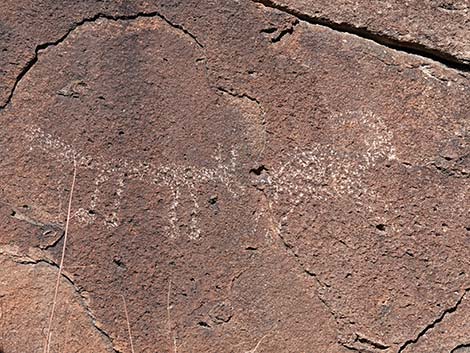
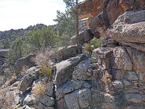
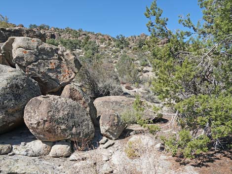
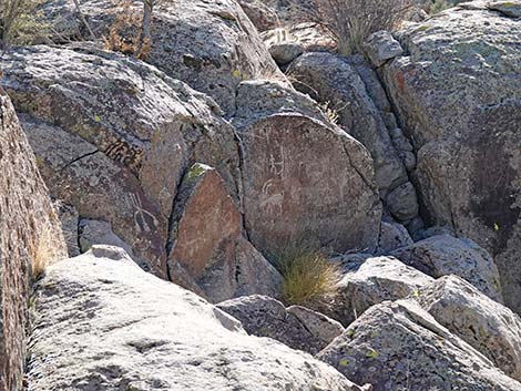
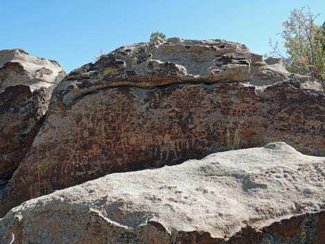
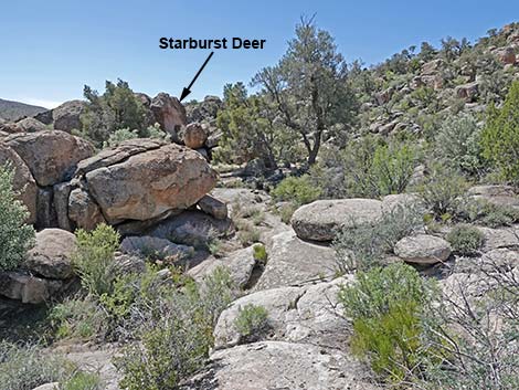
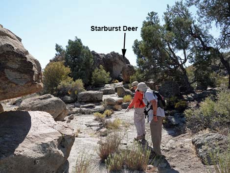
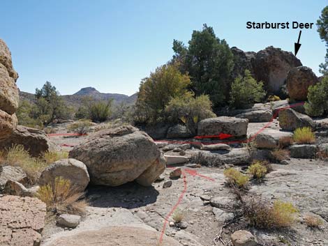
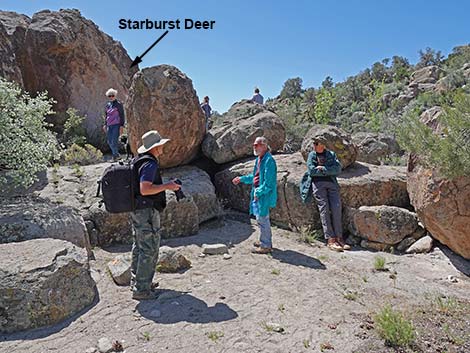
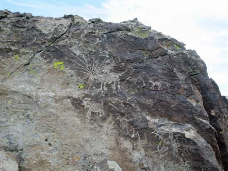
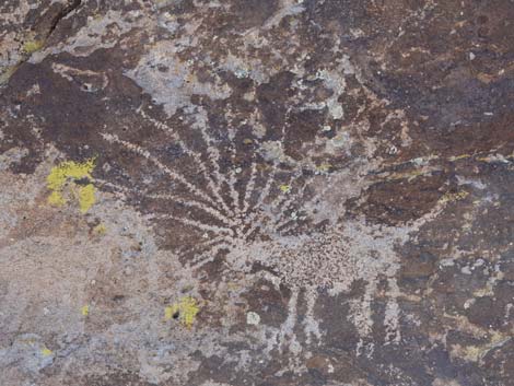
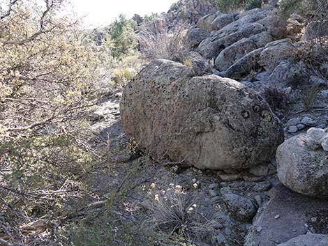
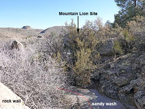
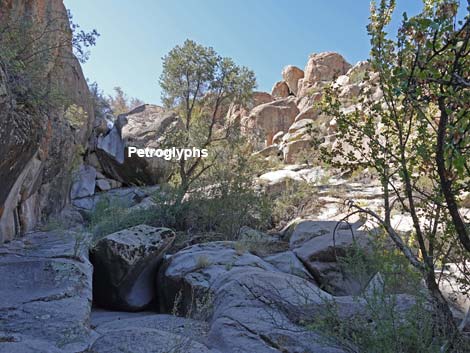
The Shooting Gallery Petroglyph area can be divided into four main areas. According to the brochure, Area 1 was a Camp Area with some 100 boulders marked with petroglyphs (the largest concentration in the area). Rock shelters, stone flakes, grinding slicks, and a tinaja can also be found here. Area 2 is another large area with spectacular petroglyphs and evidence of camping. The largest and most densely packed petroglyph panel in the Shooting Gallery area is located here, as are the Starburst Deer and Seven Sheep panels. A few bird petroglyphs and some pictographs can be found. Area 3 is a narrow Side Canyon cut into the cliffs that is partially blocked with boulders and vegetation. Rock art at the mouth of the canyon is easy to access, but getting up higher is more difficult. The Mountain Lion panel is located at the mouth of the canyon. Area 4, not discussed in the brochure but shown on the map, is a collection of rock art on scattered boulders along the Base of the Cliffs south of the main Shooting Gallery area. |
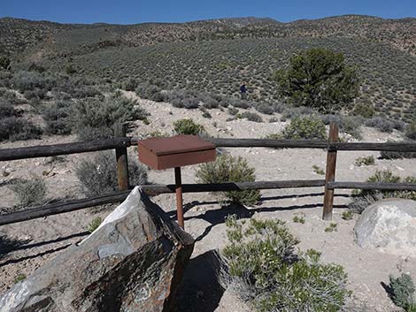 Sign-in register (view W) |
Watch Out Other than the standard warnings about hiking in the desert, ...this is a wild and remote area, but there are no unusual hazards. Curtis Canyon Road is particularly steep and narrow, and although it probably doesn't require 4WD, it would be quite dangerous to back down in a 2WD vehicle. Stay off the road when wet -- it's just too steep. Shooting Gallery Road is best driven in a 4WD vehicle too. Cell phones work here. While hiking, please respect the land and the other people out there, and try to Leave No Trace of your passage. Also, this is a remote hike, so be sure to bring the 10 Essentials. This site is special -- do all you can to care for it: don't touch petroglyphs and pictographs because hand-oils will damage them; do pickup and marvel at artifacts, but leave them behind; and do encourage the next generation to learn about and cherish these places. If you have to use the "restroom", please leave the archeological area so you don't dig holes in sensitive areas. |
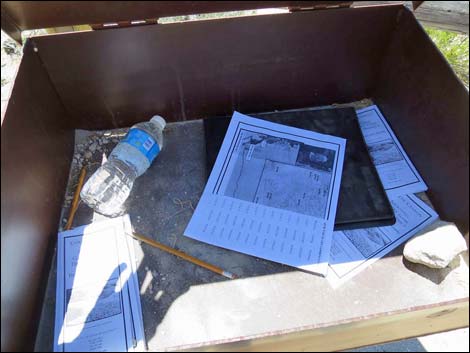 Brochures and sign-in register inside the box |
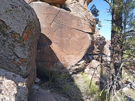
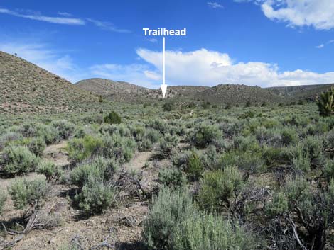
Location The Shooting Gallery petroglyph site is located high in the East Pahranagat Range, west of Alamo and the Pahranagat Valley, about 107 miles north of Las Vegas on Highway 93. From town, drive north on Interstate 15 to US Highway 93. Exit onto Highway 93 northbound and drive to Alamo. In Alamo, take South Richardville Road northbound to Canyon Road. Turn left onto Canyon Road and drive west into the mountains on what becomes Curtis Canyon Road. Drive west then south on Curtis Canyon Road for 8.6 miles to Shooting Gallery Road, on the right. Turn hard to the right onto Shooting Gallery Road and drive 0.3 miles to the trailhead parking at the end of the road. Curtis Canyon Road is graded, but rather steep in two places, but the 0.3-mile Shooting Gallery Road to the trailhead is not maintained and requires a 4WD vehicle (or wear sturdy boots). |
 The trail runs out on an old road, then turns right (view SW) |
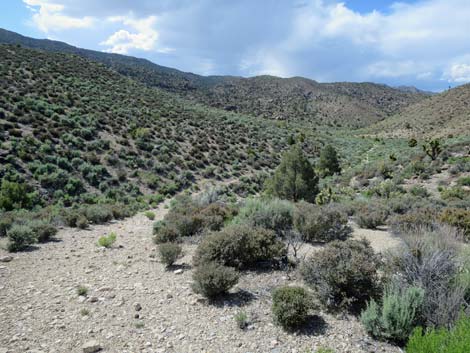
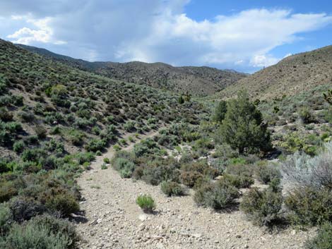
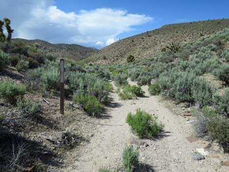
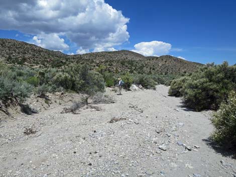
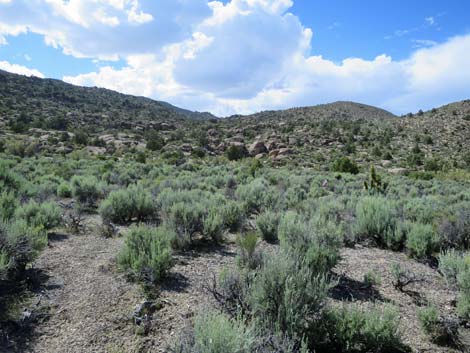
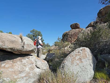
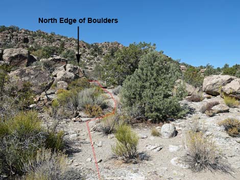
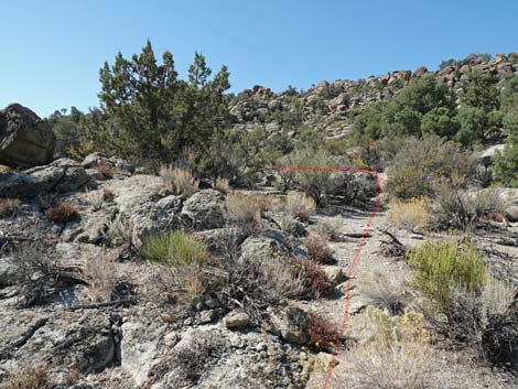
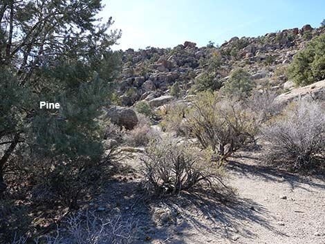
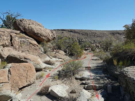
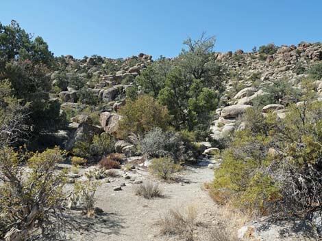
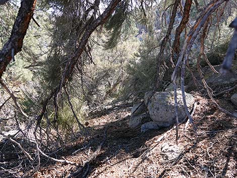
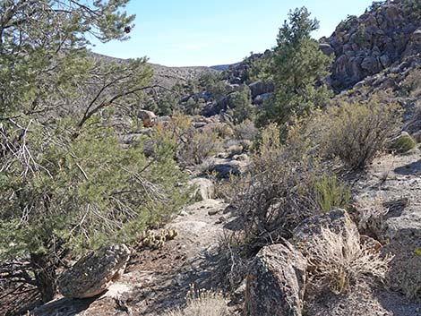
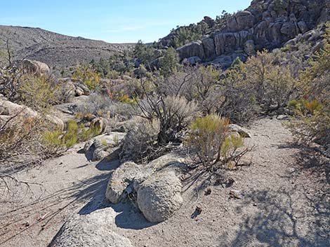
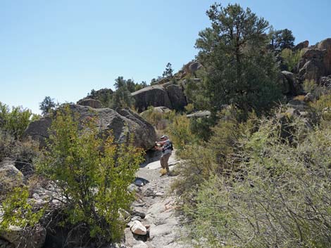
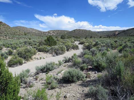
The Hike From the trailhead (Table 1, Waypoint 01), the route follows an old road that runs southwest for a few yards (around a berm of dirt that blocks the old road), then turns right to run northwest down a shallow canyon. Following the old road down, the canyon opens onto a broad valley. From that vantage, all of the rock piles along the edge of the valley to the west and north are in the Shooting Gallery area. The old road is washed out a bit, but the trail continues towards the northwest and soon the old road again becomes apparent. The old road eventually drops into the confluence of two washes (Wpt. 02), a point to remember when hiking back out. Following the sandy wash down only about 20 yards, the trail splits. Although not apparent from the wash, the old road exits the wash to the left here; however, it probably is preferable to continue down the wash another 80 yards before exiting the wash to the left. There is no trail, but hikers can wander cross-country through the open big sagebrush flats towards the nearby boulders and into Area 1 (see map). |
 Information sign (view W) |
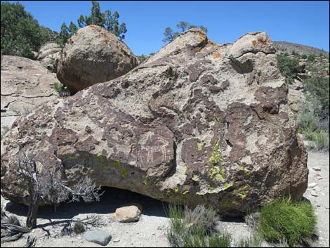
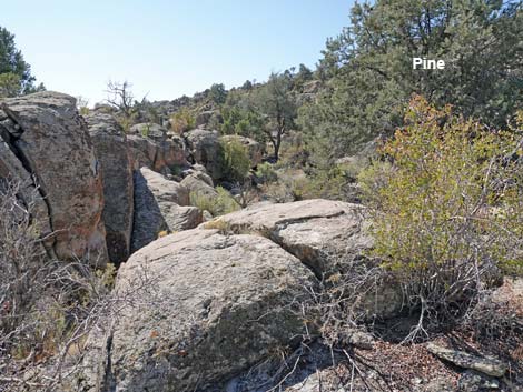
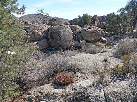
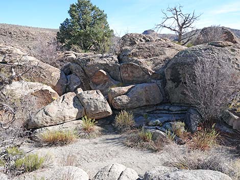
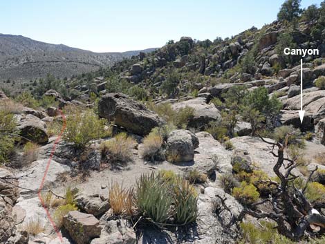
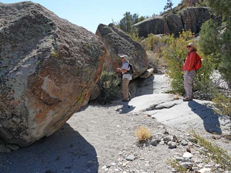
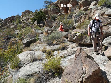
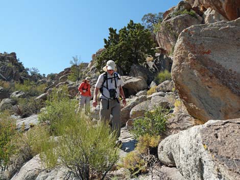
Area 1, the Village Site (Wpt. 03), includes many petroglyphs on the rock walls surrounding the open camp area. There is also a tinaja that holds water long into the summer. Continuing northwest into the boulders, the route enters Area 2 (see map), which includes the Seven Sheep panel (Area 2E; Wpt. 04) and the Starburst Deer panel (Area 2W; Wpt. 05). A very large panel is located just north of the Starburst Deer. Turning back south towards the valley bottom, the route winds down among boulders until reaching the mouth of a side canyon that cuts deep into the rocky cliffs to the west. The canyon is Area 3 (see map). The Mountain Lion Panel (Wpt. 06) and a Pahranagat Man petroglyph (Wpt. 07) are located near the mouth of the canyon, and the Big Elk is a short way up the canyon. Continuing south, hikers can pick up the old road and follow it back across the sagebrush flats to the main wash (Wpt. 02). Alternatively, follow along the base of the cliff (Area 4; see map) and look for additional scattered petroglyphs. Either way, when finished, follow your nose back to the trailhead (Wpt. 01). |
Getting to the Shooting Gallery Sites
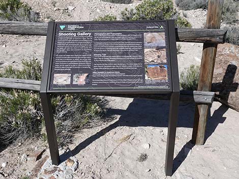
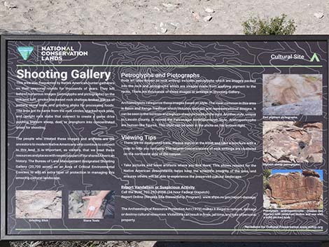 Text of information sign |
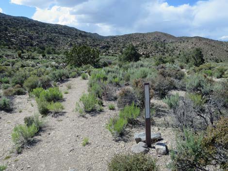
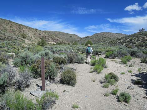
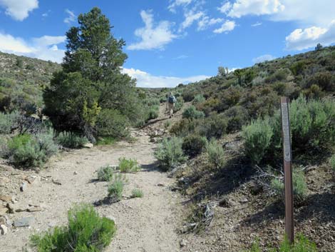
 Trail starts next to the information sign (view W) |
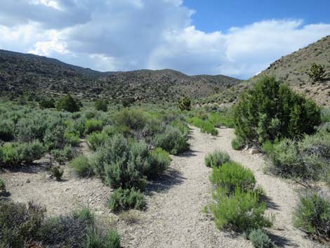
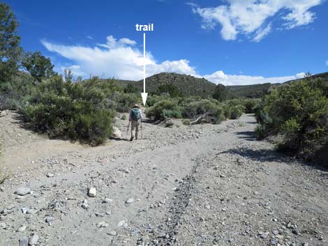
 Shooting Gallery trail starts on an old road (view NW) |
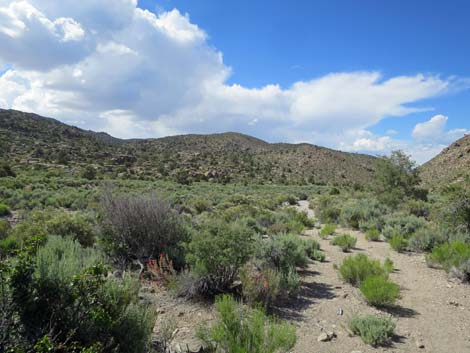
 Shooting Gallery trail runs down into shallow canyon (view NW) |
 Shooting Gallery trail in the shallow canyon (view NW) |
 Shooting Gallery trail in the canyon (view NW) |
 Shooting Gallery trail low in the canyon (view NW) |
 Carsonite trail marker (view NW) |
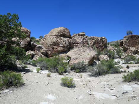
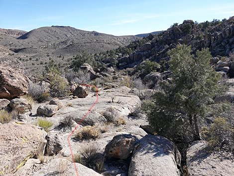
 Shooting Gallery trail entering the valley bottom (view NW) |
 Two small washes converge into the main wash (view N) |
 Hikers can turn left here or 80 yards ahead (view N) |
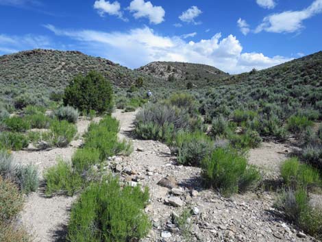
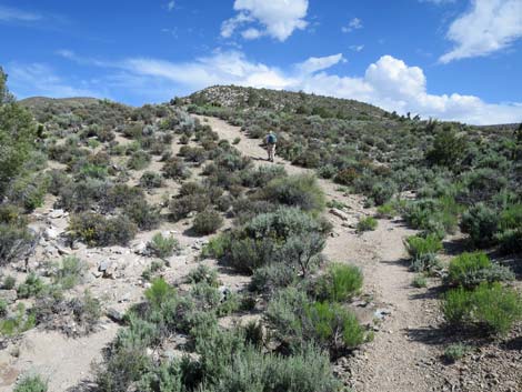
 Hiking through sagebrush approaching the boulder fields (view NW) |
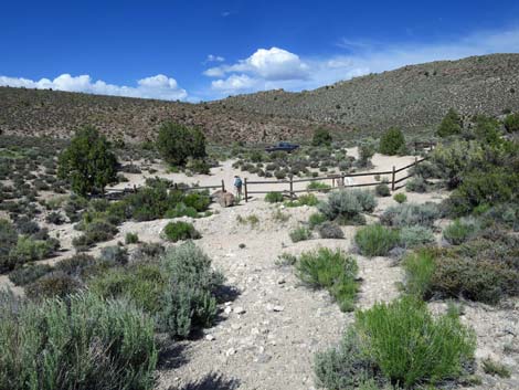
 Entering Area 1: Shooting Gallery Village Area welcome sign |
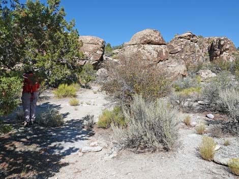
 Hiker entering the Village Area (view N) |
Shooting Gallery Sites
 Entering the Village Area (view N) |
 Hiker in the shade of a large Juniper in the Village Area (view N) |
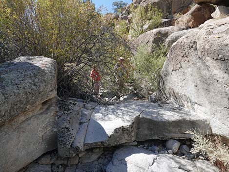
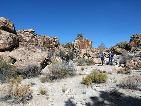 Hikers inspecting the village walls (view NE) |
 Route exits Village Area to the west (view W) |
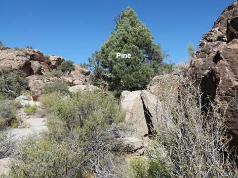
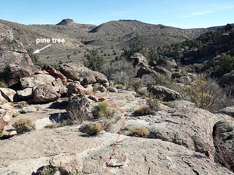
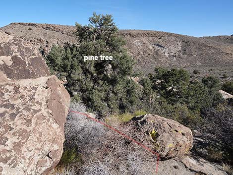
 Route follows rocky ramp towards pine tree (view W) |
 Approaching the village tinaja (view W) |
 The tinaja; dry during summer (view N) |
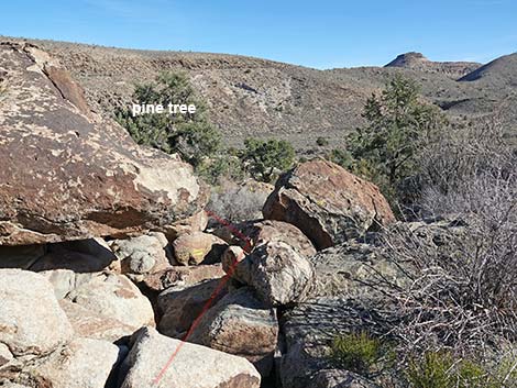
 Route climbs into the shade of a pine tree (view W) |
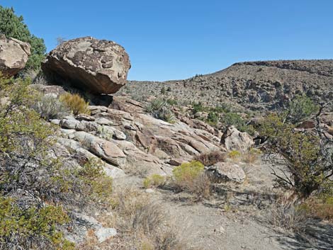
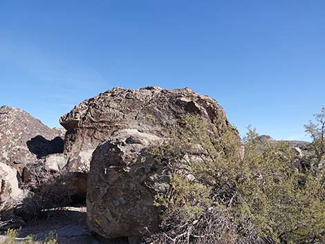
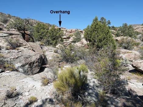 From shade of pine, Overhanging Boulder can be seen (view NW) |
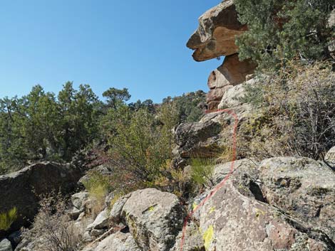
 Route continues towards Overhanging Boulder (view NW) |
 Route continues towards Overhanging Boulder (view NW) |
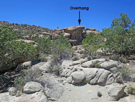 Nearing Overhanging Boulder (view NW) |
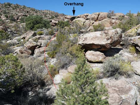
 Hikers can short-cut and bypass Overhanging Boulder (view NW) |
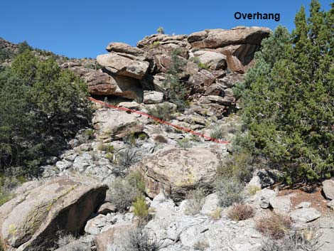
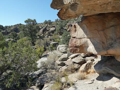
 Route runs to far side of Overhanging Boulder (view NW) |
 Route runs up north side of Overhanging Boulder (view W) |
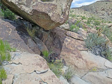
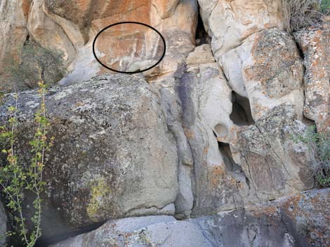
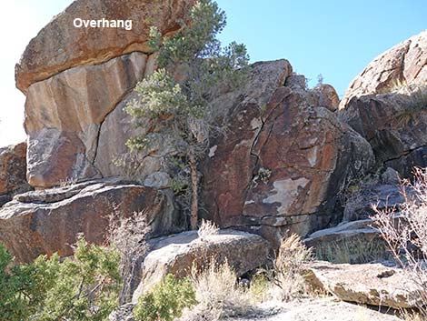 Pahranagat Man below Overhanging Boulder (view W) |
 Pahranagat Man below Overhanging Boulder (view W) |
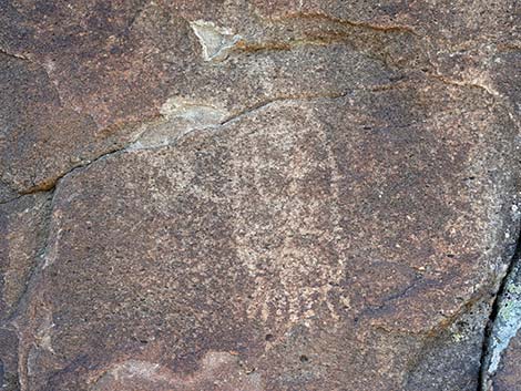 Pahranagat Man Petroglyph in the shade of the overhang (view NW) |
 Route turns back under the Overhanging Boulder (view S) |
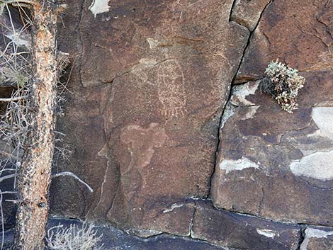
 Petroglyphs in the shade of the overhang (view NW) |
 Petroglyphs under the overhang (view NW) |
 Petroglyphs under the overhang (view NW) |
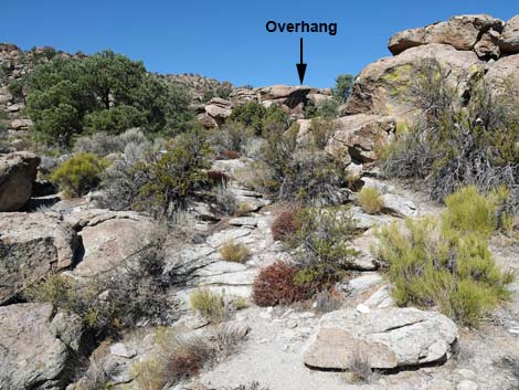
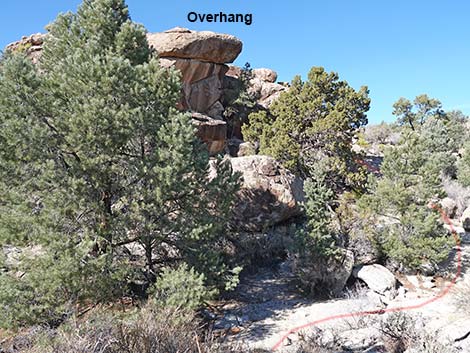
 Route continues out from under the Overhanging Boulder (view SW) |
 Route scrambles around south side of Overhanging Boulder (view SW) |
 Route continues around south side of Overhanging Boulder (view W) |
 Route continues around south side of Overhanging Boulder (view W) |
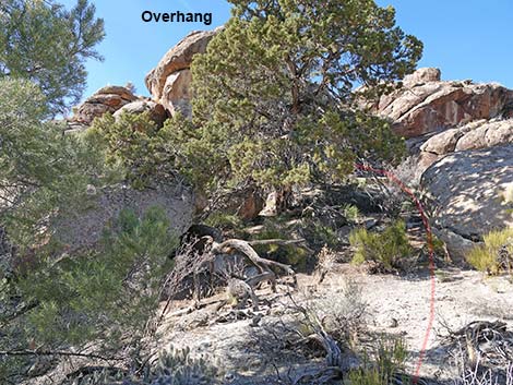
 Route continues to other side of Overhanging Boulder (view NW) |
 Route continues to other side of Overhanging Boulder (view N) |
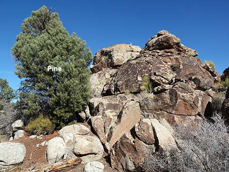 Remarkable petroglyphs behind pine (view N) |
 Seven Sheep panel right of the tree (view E) |
 Seven Sheep panel (view E) |
 Seven Sheep panel behind the pine (view E) |
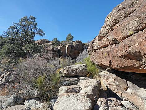
 After Seven Sheep, route continues up the little valley (view N) |
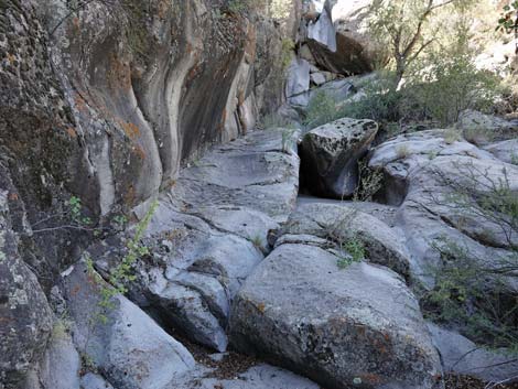
 Route continues along base of wall (view N) |
 Route departs Seven Sheep area up the little valley (view N) |
 Route goes around north end of Boulder Pile on the left (view NW) |
 North end of next Boulder Pile (view NW) |
 Route wraps around north end of Boulder Pile (view SW) |
 West side of Boulder Pile (view S) |
 Petroglyphs are visible ahead, but it is easier to turn right first |
 Petroglyphs are visible ahead, (zoom) but it is easier to turn right |
 Going right around the pine tree (view SW) |
 Continuing right around the pine tree (view SE) |
 Entering the Starburst Deer area (view SE) |
 Petroglyphs (view E) |
 Route continues along edge of Boulder Pile (view S) |
 Hikers looking at something interesting (view S) |
 Gap in Boulder Pile (view SE) |
 Turning left into the gap in Boulder Pile (view E) |
 Approaching Balanced Boulder (view NE) |
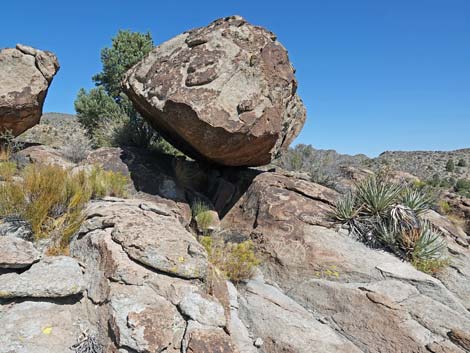 Balanced Boulder (view NE) |
 Petroglyphs under Balanced Boulder (view NE) |
 Returning back through the gap in Boulder Pile (view W) |
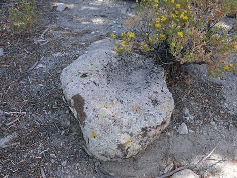 Movable metate |
 Lithic scatter is everywhere |
 Returning to the west side of Boulder Pile (view SW) |
 Spectacular petroglyphs in this spot (view SE) |
 Starburst Deer panel (view E) |
 Starburst Deer panel is just around the corner (view E) |
 Starburst Deer with morning shadow on rock |
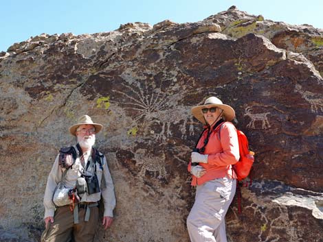 Humans providing scale at Starburst Deer panel (view E) |
 Departing Starburst Deer area; stay left of canyon (view S) |
 Stay out of canyon (view S) |
 Hiker on flat rocks left of canyon (view S) |
 Route continues down flat rocks (view SE) |
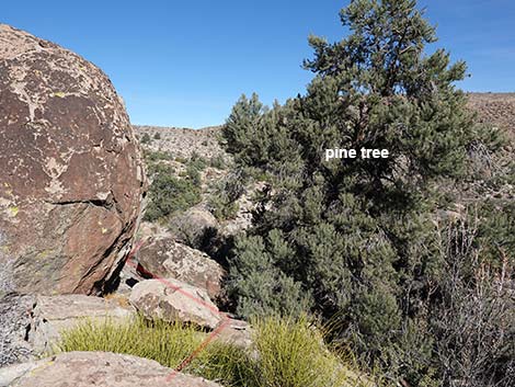
 Route continues down flat rocks towards pine tree (view SE) |
 Route crosses rounded boulders towards pine tree (view SE) |
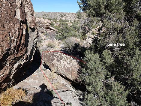
 Route avoids cliffs by looping under pine tree (view SE) |
 Route avoids cliffs by looping under pine tree (view E) |
 Route avoids cliffs by looping under pine tree (view E) |
 Route avoids cliffs by looping under pine tree (view SE) |
 Route goes under pine tree (view S) |
 Past pine, the route continues south (view S) |
 Past pine, the route continues south (view S) |
 |
 |
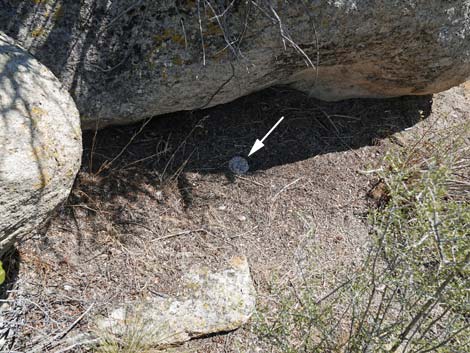 Oops! Watch out for my slithery friend sleeping in the shade |
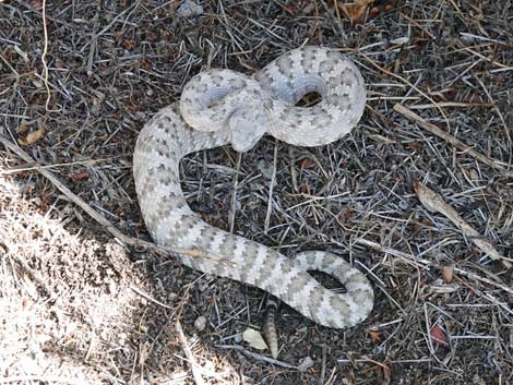 Maybe it wasn't asleep (Panamint Rattlesnake) |
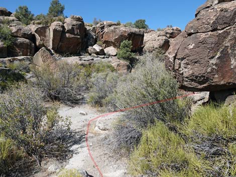
 Route drops into sandy wash (view S) |
 Route follows sandy wash around to the left (view SE) |
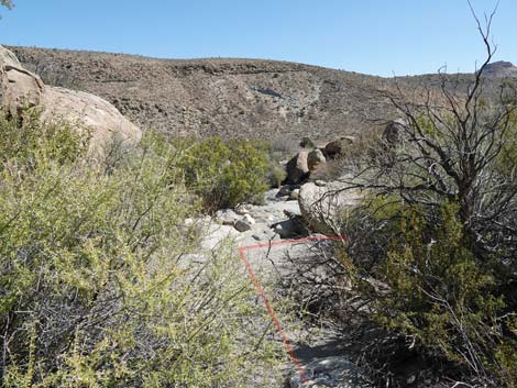 When sandy wash bends left; route bends right (view E) |
 Route cuts to the right to mountain lion petroglyph site (view S) |
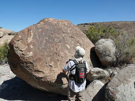
 Hikers at mountain lion petroglyph site (view S) |
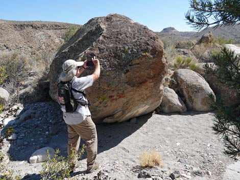 Hiker photographing mountain lion petroglyph (view E) |
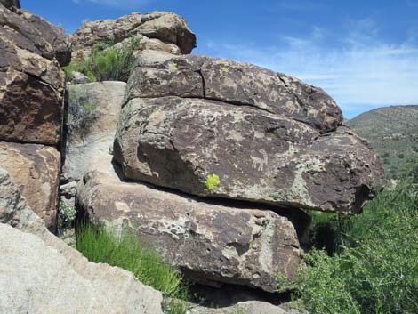
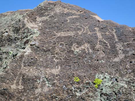 Mountain Lion petroglyph panel (view E) |
 Hiker at adjacent boulder (view NE) |
 Adjacent boulder (view NE) |
 From Mountain Lion site, hikers starting up Side Canyon (view W) |
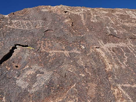
 Petroglyphs high on wall of Side Canyon (view S) |
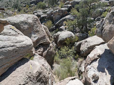
 Interesting erosion patterns in Side Canyon (view W) |
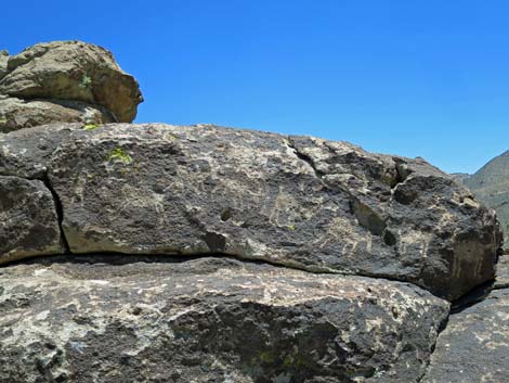
 Large boulder in bottom of Side Canyon with petroglyphs (view W) |
 Large boulder with petroglyphs (view W) |
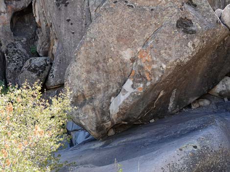
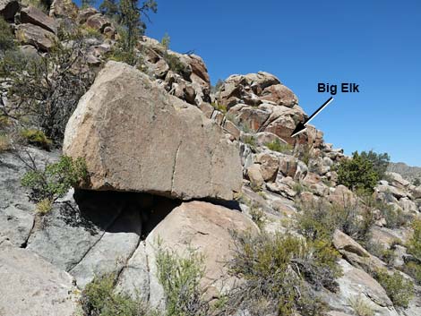 Big elk petroglyph on north side of Side Canyon (view N) |
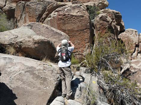 Hiker at Big Elk petroglyph (view N) |
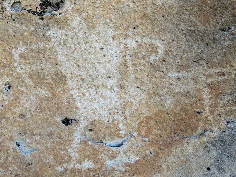
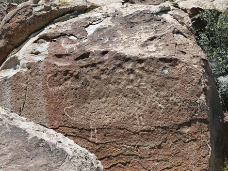 Big Elk petroglyph (view N) |
 Looking back: hikers descending from Big Elk petroglyph (view N) |
 Looking back: hikers descending from Big Elk petroglyph (view N) |
Back to the Mountain Lion petroglyph (view NE) |
 Pahranagat Man at south edge of Side Canyon (view W) |
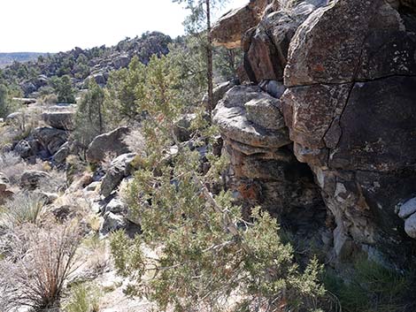
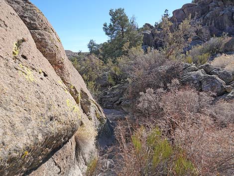
 Area 4. Base of the cliffs |
 Area 4. Base of the cliffs |
 More to come ... |
Returning to the Trailhead
 Returning across the sagebrush flats (view SE) |
 Route arrives at the main wash (view S) |
 Hiker in the main wash (view S) |
 Hiker at confluence of washes (view S) |
 Carsonite sign along the old road (view SE) |
 The old road is a bit washed out in one place (view SE) |
 Carsonite sign along the old road (view SE) |
 Carsonite sign along the old road (view SE) |
 Hiker climbing final hill (view SE) |
 Hiker returning to the trailhead (view E) |
 Trailhead gate (view E) |
More to come ... |
Table 1. Hiking Coordinates based on GPS data (NAD27; UTM Zone 11S). Download Hiking GPS Waypoints (*.gpx) file.
| Wpt. | Location | UTM Easting | UTM Northing | Elevation (ft) | Point-to-Point Distance (mi) | Cumulative Distance (mi) |
|---|---|---|---|---|---|---|
| 01 | Shooting Gallery Trailhead | 652829 | 4135740 | 5,227 | 0.00 | 0.00 |
| 02 | Trail Junction | 652626 | 4135983 | 5,155 | 0.23 | 0.23 |
| 03 | Village Area | 652476 | 4136178 | 5,146 | 0.17 | 0.40 |
| 04 | Seven Sheep | 652320 | 4136195 | 5,222 | 0.17 | 0.57 |
| 05 | Starburst Deer | 652274 | 4136188 | 5,222 | 0.09 | 0.66 |
| 06 | Mt Lion Petro | 652345 | 4136077 | 5,224 | 0.11 | 0.77 |
| 07 | Pahranagat Man | 652362 | 4136048 | 5,177 | 0.02 | 0.79 |
| 02 | Trail Junction | 652613 | 4136010 | 5,155 | 0.18 | 0.97 |
| 01 | Shooting Gallery Trailhead | 652829 | 4135740 | 5,227 | 0.25 | 1.22 |
Happy Hiking! All distances, elevations, and other facts are approximate.
![]() ; Last updated 241203
; Last updated 241203
| Basin and Range NM | Rock Art | Glossary | Copyright, Conditions, Disclaimer | Home |