Birding Around Las Vegas, Favorite Places Far Away
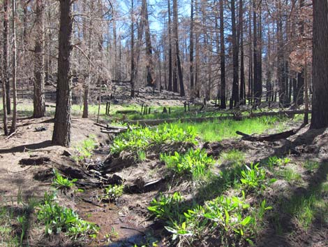
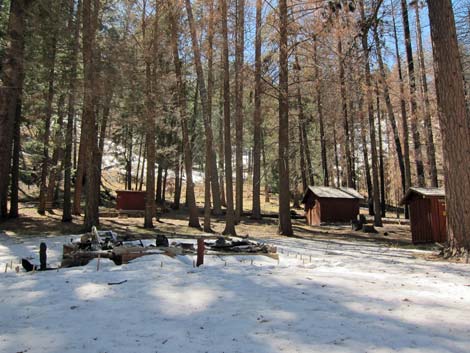
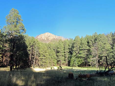
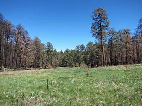 Rustler Park meadow |
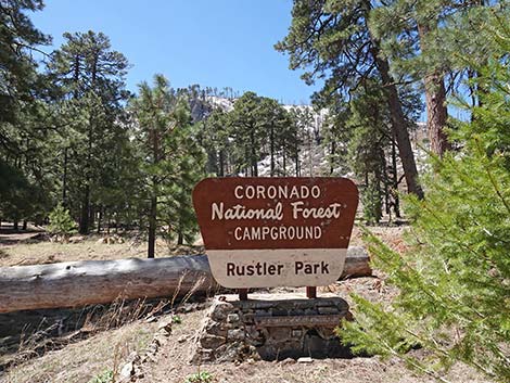
Overview Rustler Park and Barfoot Park are high-elevation sites in the Chiricahua Mountains, accessible seasonally by graded dirt roads. Note that in this area "park" means "meadow;" the areas could have been named Rustler Meadow and Barfoot Meadow. The adventure starts with the drive, not with the arrival, as the roads are long, winding, and steep, and birding along the access roads can be very productive. The highest-elevation areas are now a fire-altered landscape, and time will tell how the mountain birds respond, but look for Mexican Chickadee, Yellow-eyed Junco, Red-faced Warbler, Olive Warbler, Red Crossbill, and Band-tailed Pigeon in the pines at the top of the mountains. Link to Rustler Park Map. |
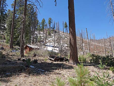
 Rustler Park fire station |
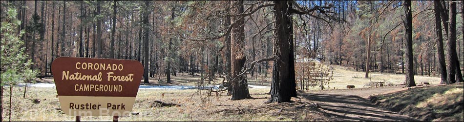
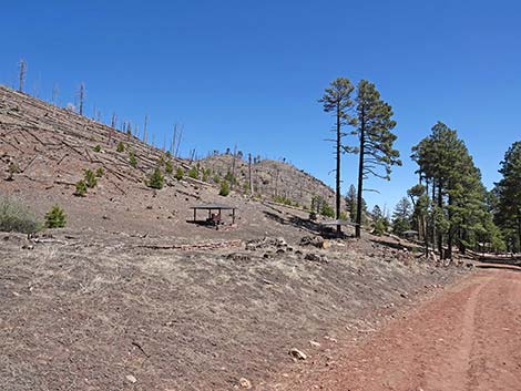
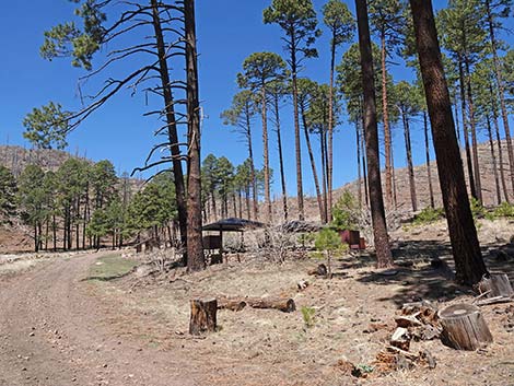
Rustler Park, proper, is a wildland fire station with a campground (closed during winter) in a forest of mixed pines, including Ponderosa Pine, Douglas Fir, and Southwestern White Pine (Pinus strobiformis). The campground is located near the crest of the mountains, and foot trails lead north and south from the campground along the crest of the mountains. Birding around the fire station and houses can be quite productive and less adventuresome than hiking the mountain trails. For birding Rustler Park, park outside the seasonally-closed gate, by the restrooms on the left side of the access road, and walk into the area. The campground, on the right, is open seasonally, but day-birders should be courteous and park outside the campground (and not in the Forest Service work area). During May and June, 2011, the Horseshoe Two Fire burned almost 350 square-miles in the Chiricahua Mountains. Evidence is everywhere, especially at Barfoot Park Campground. Most of the trees in the campground burned, and in the years since, hazard trees have been removed, leaving open, sunny campsite with big views -- far different from the original campsites nestled in the dense forest. |
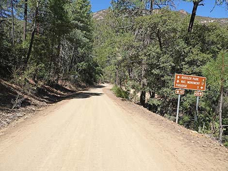
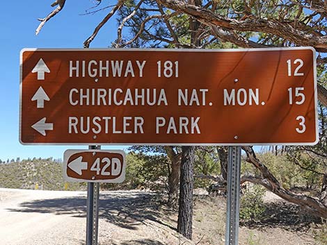
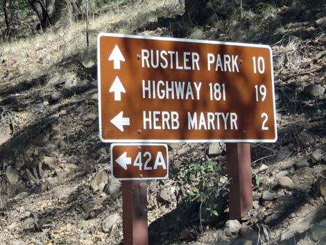 Good road signs |
Getting to Rustler Park Rustler Park is accessible from Portal (via Portal Road) and from Chiricahua National Monument via Pinery Canyon Road. Both roads are steep and winding, not suitable for longer vehicles or trailers, but generally okay for sedans after the snow melts and the roads have been graded. Inquire locally about road conditions. Driving uphill on either road, continue to Onion Saddle at the crest of the mountain range. Don't, however, be in a hurry. Drive slowly and listen for birds singing in the trees. Birding along the roads can be profitable, and especially keep an eye out for Montezuma Quail in the Pine-Oak woodlands. |
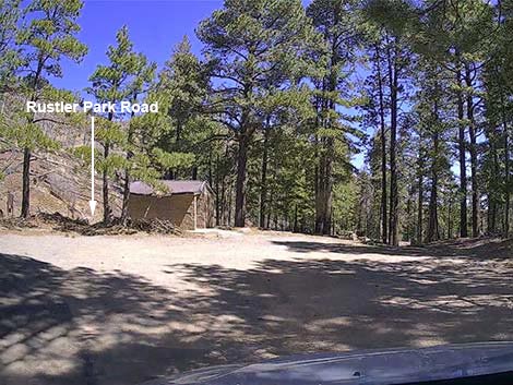
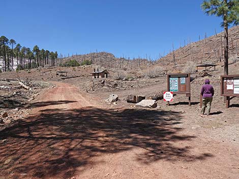 Rustler Park Road at campground information signs and fee box) |
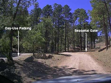
At Onion Saddle, turn south through a gate onto Forest Road 42D following signs towards Rustler Park. Continue 1.6 miles to a fork in the road. Stay left to Rustler Park, or turn right to Barfoot Park. Staying left, continue 0.8 miles to a gate that blocks vehicle entry into the campground and fire station area during winter. Turn left into a large day-use parking area with a vault toilet. Park here; this is the birder's and hiker's trailhead. Walking up the road, pass the gate and check the Lower Rustler Spring area on the left. On the right side of the road, sheltered campsites cling to the hillside in the campground area. Shortly, walkers pass the Rustler Park Meadow on the right (just past the campground). Staying left on the road, birders wander into the still-forested fire station area. Staying south (left-ish) past the fire station, an old road continues south with grand views out across the desert and open-area type birds. |
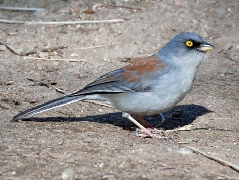 Yellow-eyed Junco |
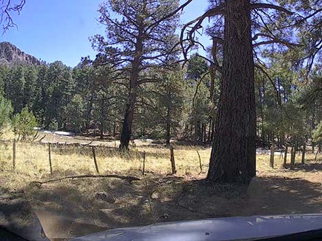
Getting to Barfoot Park Barfoot Park is located north of Rustler Park. The road is rougher, narrower, rockier, muddier, and steeper than the road to Rustler Park. From Onion Saddle, drive south 1.6 miles to a fork in the road. Turn right and drive about 0.6 miles to a saddle. Most drivers will want to stop here, but others might continue down the very steep hill. The road ends in another 0.4 miles at the bottom edge of Barfoot Meadow. Barfoot Meadow is watered by Barfoot Spring. Snow tends to linger on these north-facing slopes, so Barfoot Road can be snowed in or wet and muddy long after other roads are dry. Bird the trees around the meadow and look for open-area birds out in the meadow. Birds might come to the spring for water. |
Rustler Park Road (driving westbound up to Rustler Park and Barfoot Park)
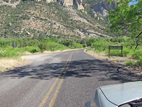 Cave Creek Road above the town of Portal is paved (view S) |
 Paved road lower down |
 Road signs just past SW Research Station (view NW) |
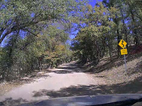 Sign: Windy road next 19 miles |
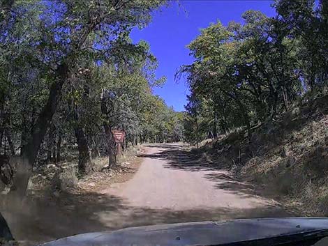 Approaching Coronado National Forest boundary (view NW) |
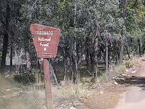 Coronado National Forest boundary sign (view NW) |
 One of several primitive camping areas on the left (view NW) |
 Crossing a cattle guard (view NW) |
 Another primitive camping area on the right (view NW) |
 Approaching the road to Paradise (South Turkey Creek Road) |
 Approaching the road to Paradise (South Turkey Creek Road) |
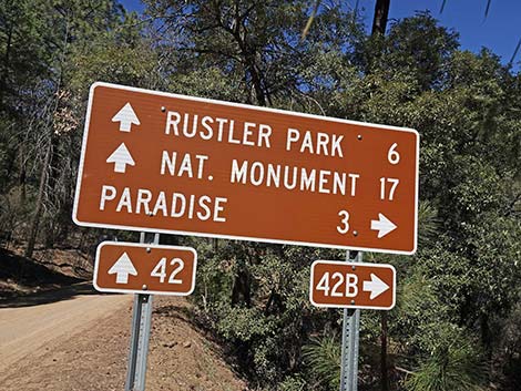 Road sign to Paradise (South Turkey Creek Road) |
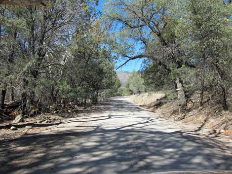
 Road becomes graded dirt at the SW Research Station (view NW) |
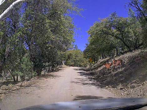
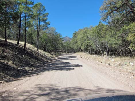
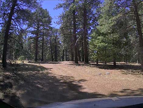
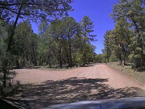
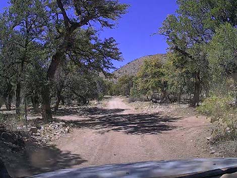
 Dirt road in the Pine-Oak Woodlands |
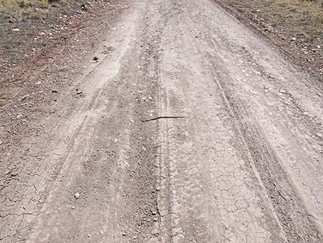
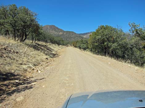 Most of the road is well maintained (view NW) |
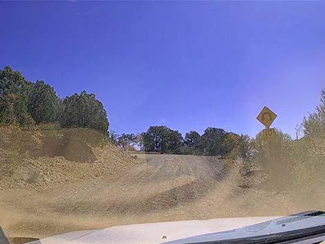 Winding into the switchbacks (view N) |
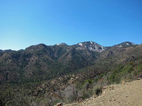
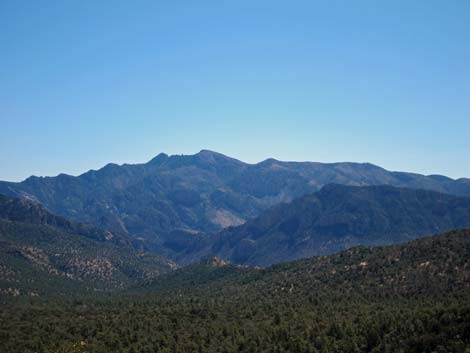 Grand views: looking down into the South Fork area (view SE) |
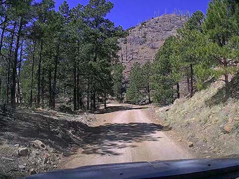
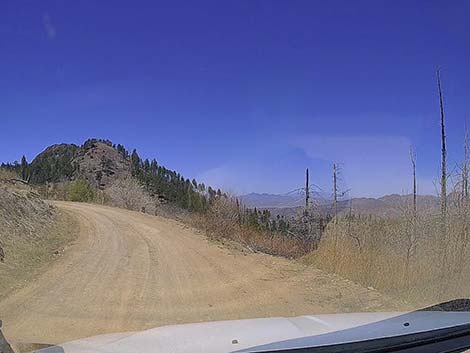
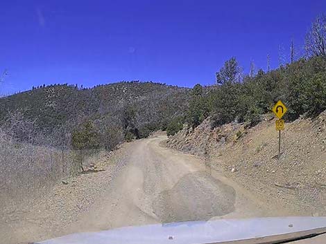
 Winding up towards the high country (view S) |
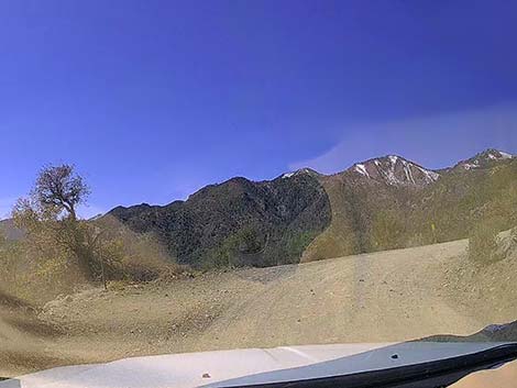
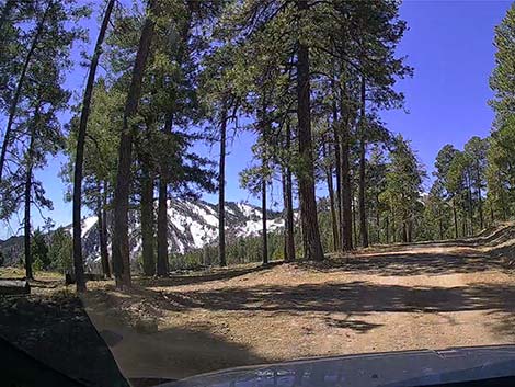
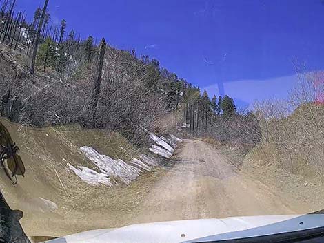
 Spring snows linger on north-facing slopes (view S) |
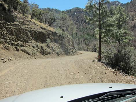
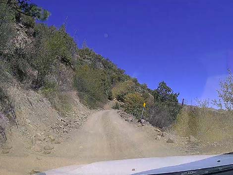 Higher up, the road narrows (view NW) |
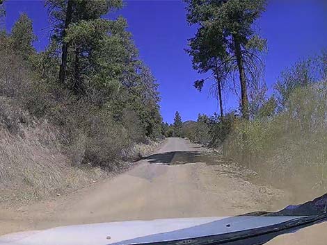 First of the Ponderosa Pine trees (view NW) |
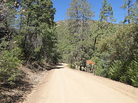
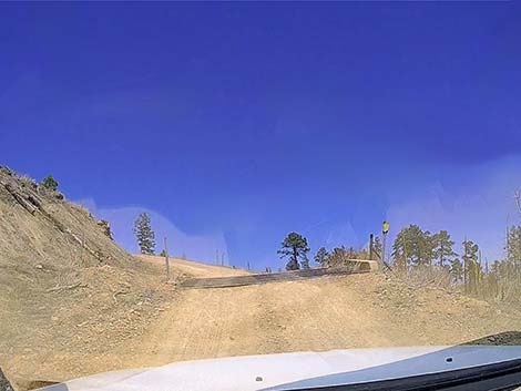
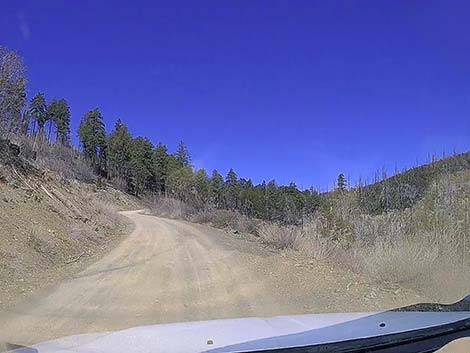 Climbing towards Onion Saddle (view NW) |
 Approaching Onion Saddle |
 Onion Saddle road sign |
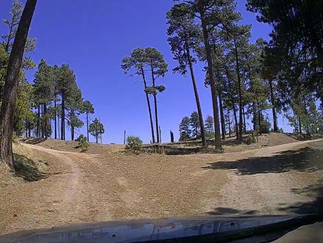
 Onion Saddle: the road forks (view NW) |
 Staying left towards Rustler Park (view SW) |
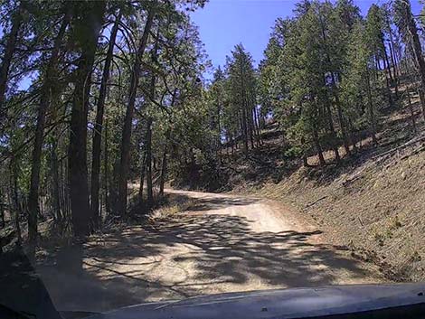
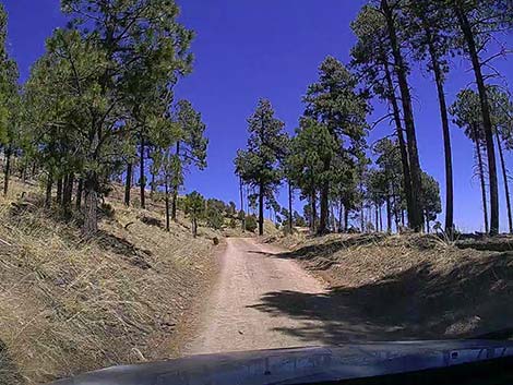
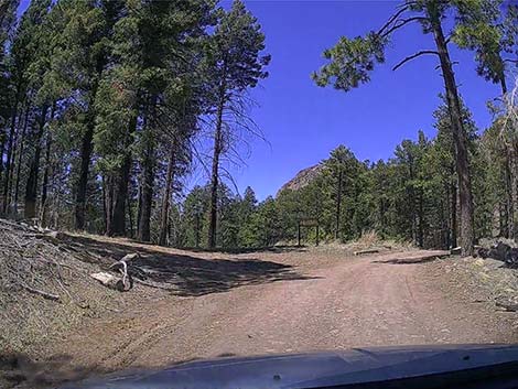
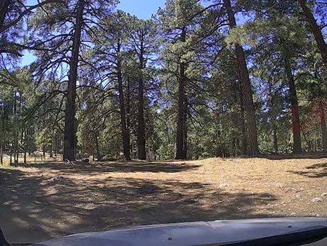
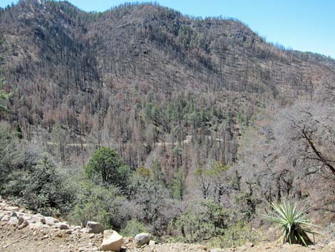
 This part of the mountain survived the fire (view S) |
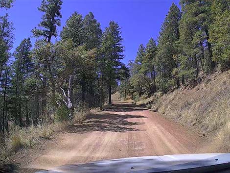
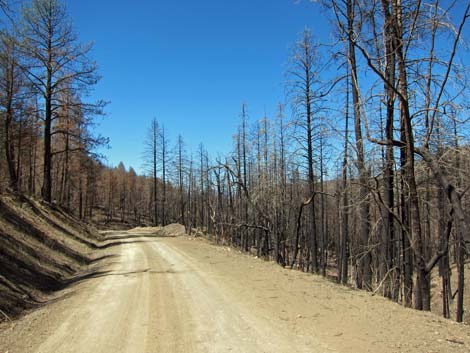
 Winding into the high-elevation forest (view S) |
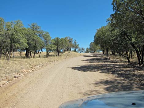
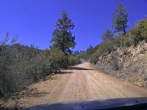 Some parts are open and brushy (view SW) |
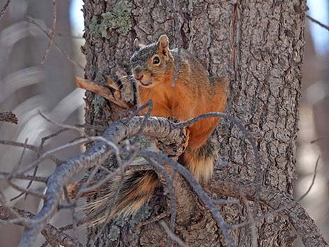 Mexican Fox Squirrel in a pine watching traffic pass by |
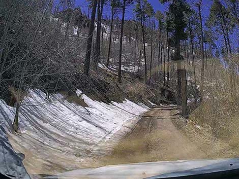
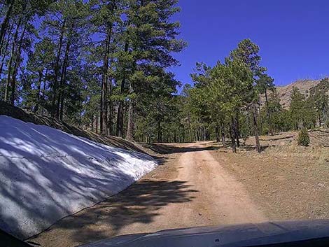 Late-spring lingering snow in the high country (view SW) |
 Drive carefully and watch out for little people playing in the road |
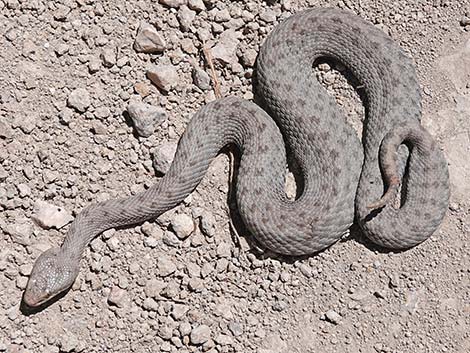 Rare Western Twin-spotted Rattlesnake (Crotalus p. pricei) on road |
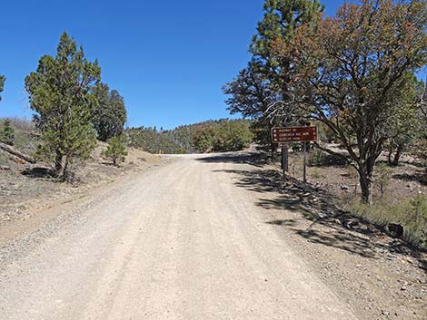
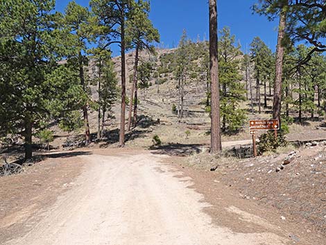 Approaching Rustler Park -- Barfoot Park junction (view W) |
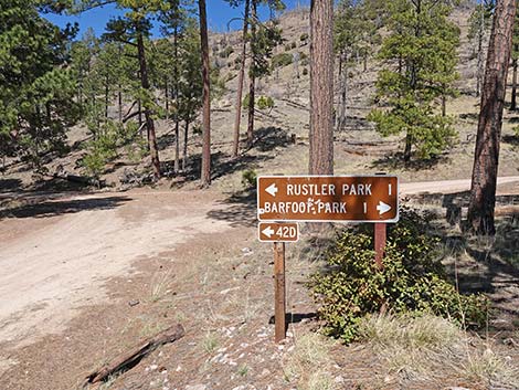 Sign: Rustler Park left, Barfoot Park right (view W) |
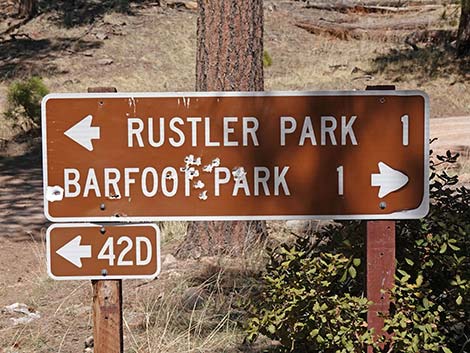 Sign at Rustler Park -- Barfoot Park junction (view W) |
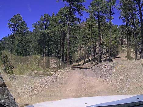
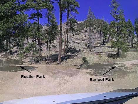 Fork in the road |
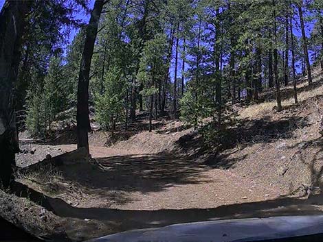
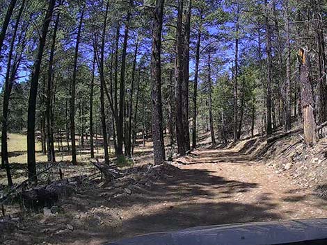
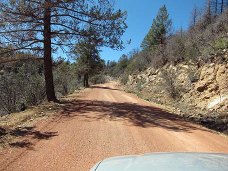 Turning left towards Rustler Park (view S) |
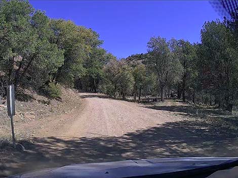
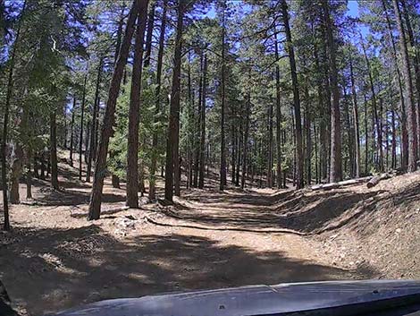
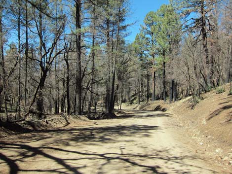
 Continuing towards Rustler Park (view SW) |
 Primitive campsite under the trees with a view (view S) |
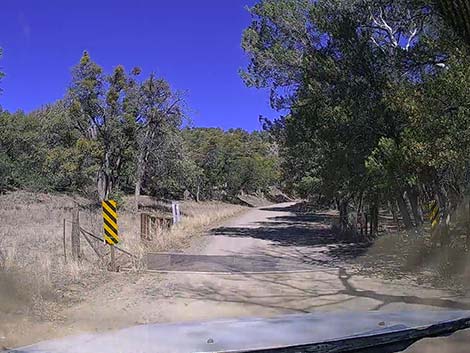
 The road crosses another cattle guard (view S) |
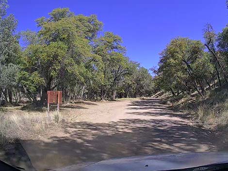
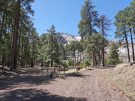
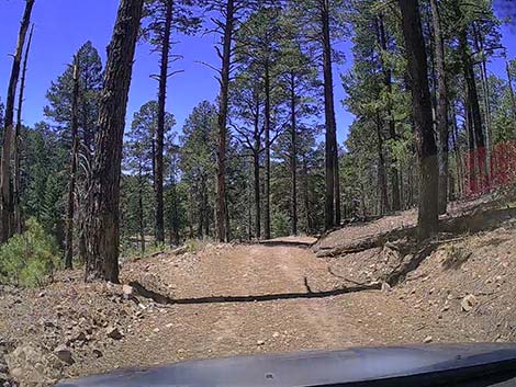
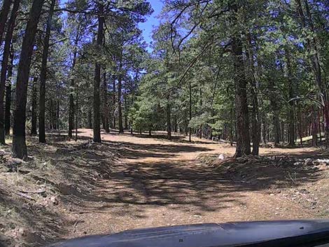
 Approaching Rustler Park (view S) |
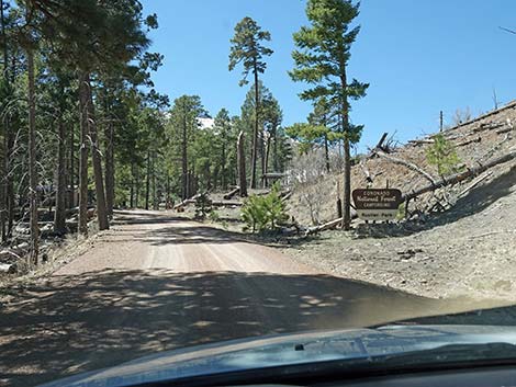
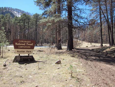
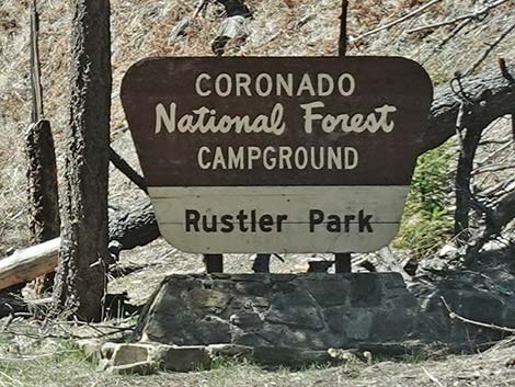 Entrance sign to Rustler Park Campground (view S) |
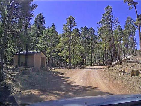 Toilets and parking on the left before campground gate (view S) |
 Parking on the left before the campground gate (view S) |
 Day-use parking area and toilet (view N) |
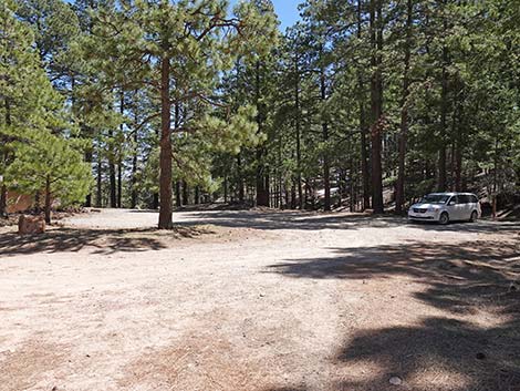 Day-use parking (view NE from Rustler Park Road near the gate) |
 The campground is open only during summer (view S) |
Rustler Park Campground and Rustler Park Fire Station
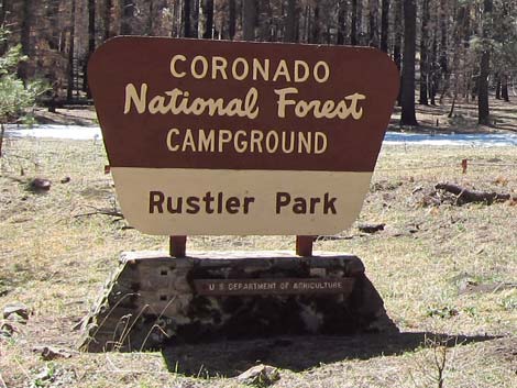 Rustler Park Campground sign |
 Rustler Park Campground sign |
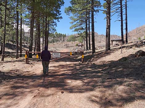
Birder approaching gate at entrance to Rustler Park Campground |
 Lower Rustler Spring near gate and parking area |
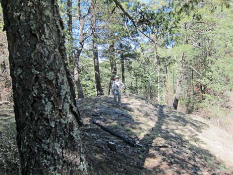 Rocky outcrop north of parking area |
Rustler Park Road at campground information signs and fee box) |
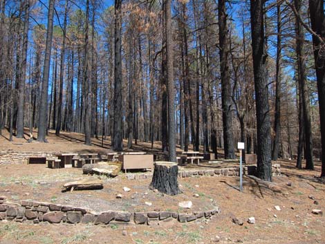
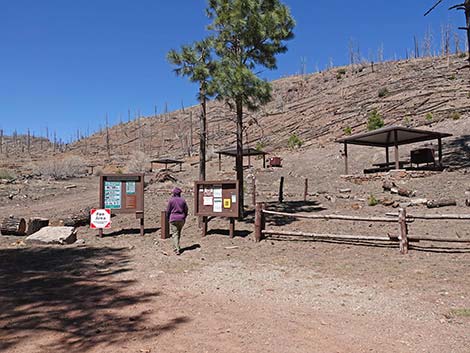 Information signs and some campsites (view SW) |
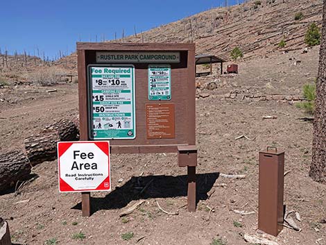 Campground information signs and fee box |
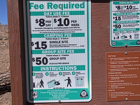 Sign: day-use and camping fee schedule (annual passes accepted) |
 Campsite without trees (view N) |
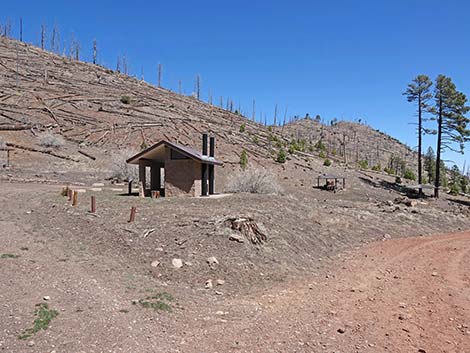 Vault toilet with tree skeletons on the hillside |
 The road forks: left to fire station, right to more campsites (view S) |
 Rustler Park sign, now in reference to the meadow (view S) |
 More campsites along the road (view SW) |
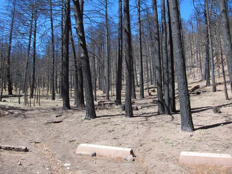 Campground soon after the fire |
 Campground soon after the fire |
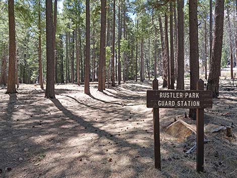 Sign: Rustler Park Guard Station (aka fire station) |
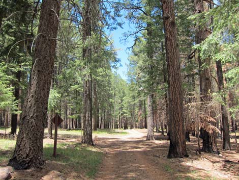 Road towards Rustler Park Fire Station |
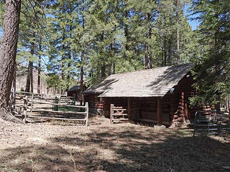 Corral and barn at the Rustler Park Fire Station |
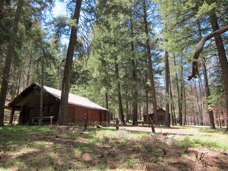
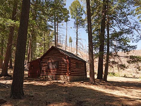 Log cabin at the Rustler Park Fire Station |
 More buildings at the Rustler Park Fire Station |
 Lingering snow in Rustler Park Fire Station area |
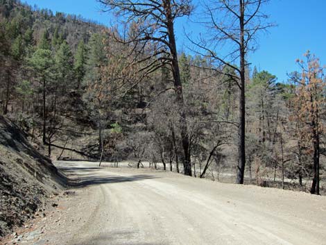
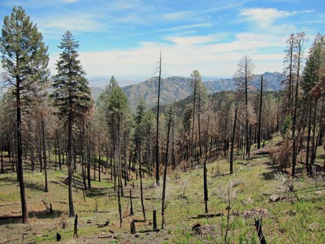 Partially burned area along road past fire station |
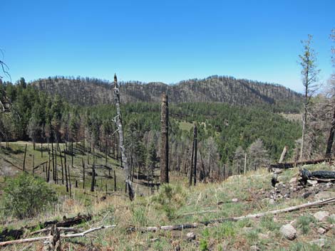 Partially burned area along road past fire station |
Yellow-eyed Junco |
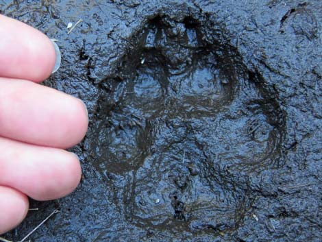 Big coyote track! |
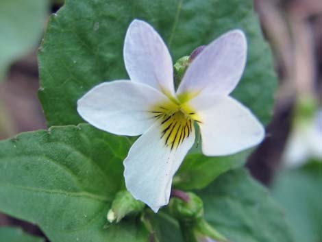 Lots of wildflowers, including this Canada Violet (Viola canadensis) |
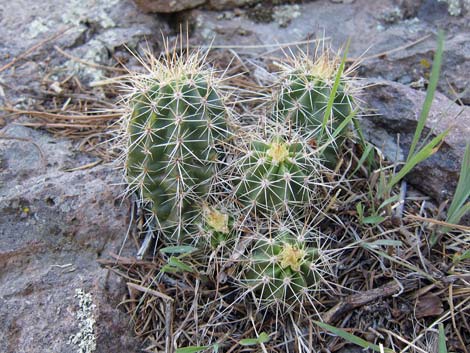 Santa Rita Hedgehog Cactus (Echinocereus santaritensis) |
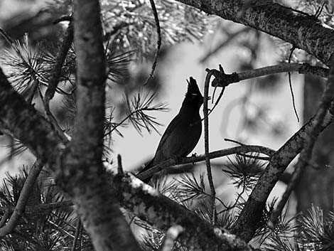 Steller's Jay in the pine trees |
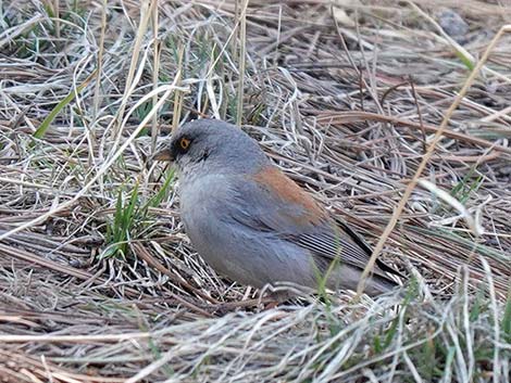 Yellow-eyed Junco foraging in the grass |
Barfoot Park Road (northwest bound from Rustler Park Road)
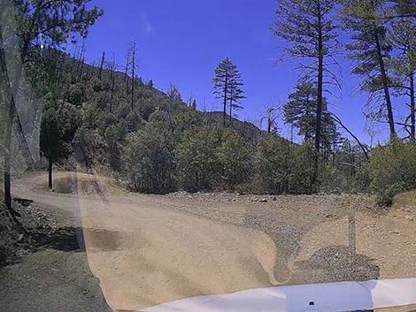
 Coming down from Rustler Park, stay left at the fork (view N) |
 Starting up Barfoot Park Road (view N) |
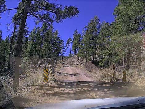
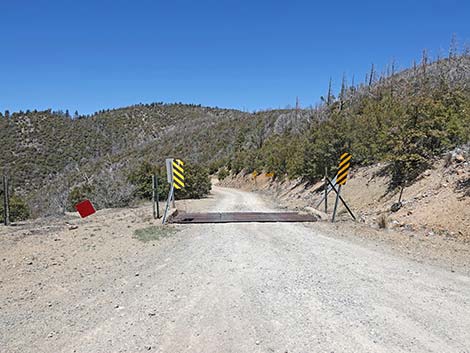
 Very steep road crosses a cattle guard (view N) |
 After the steep uphill run, the road levels out (view N) |
 Snow lingers into the late spring (view NW) |
 Snow creates mud in the late spring (view NW) |
 Arriving at the saddle, a good place to park (view NW) |
 Starting down from the saddle (view NW) |
 Steep downhill (view W) |
 Steep downhill (view W) |
 Steep downhill (view W) |
 Steep downhill approaching Barfoot Park (view SW) |
 Approaching Barfoot Park (view SW) |
 Barfoot Park first parking area (view S) |
 Barfoot Park first parking area (view S) |
 Barfoot Park first parking area (view SE) |
Barfoot Park
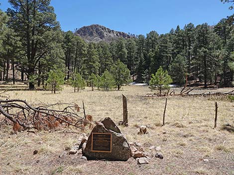 Barfoot Park plaque at edge of Barfoot Meadow (view E) |
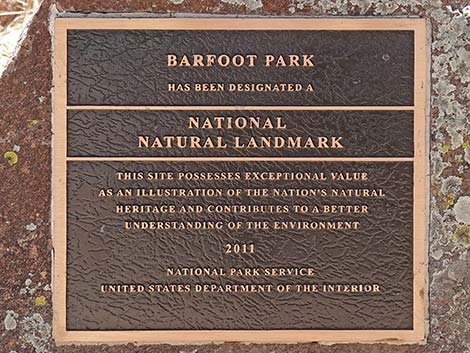 Barfoot Park plaque: National Historic Landmark |
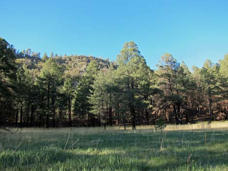 Barfoot Park Meadow |
 Barfoot Park meadow (Buena Vista Peak in background) |
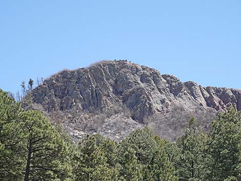 Buena Vista Peak with lookout on top (view E from Barfoot Park) |
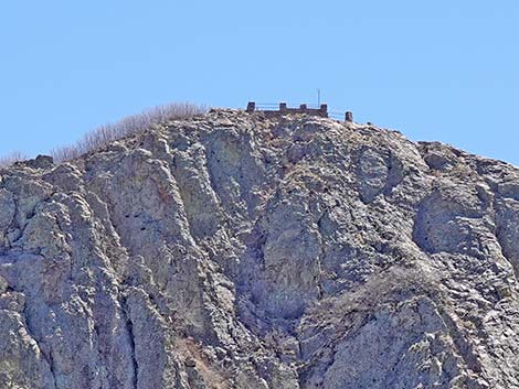 Lookout on Buena Vista Peak (view from Barfoot Park meadow) |
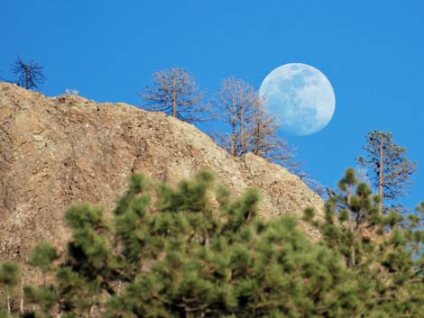 Moonrise over Buena Vista Peak |
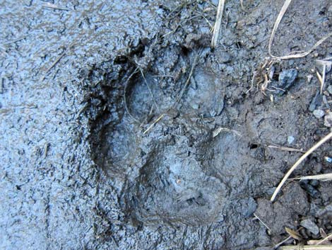 Keep an eye out for the maker of this large cat-track |
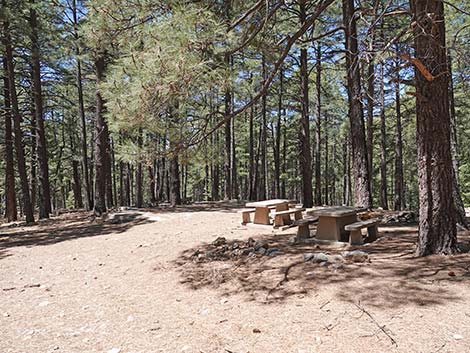 A couple of tables in trees below Barfoot Meadow (view W) |
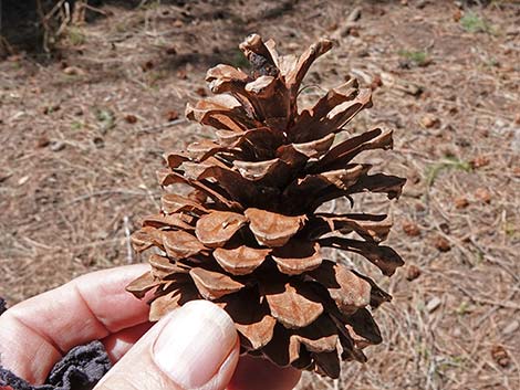 Cone from a Ponderosa Pine tree |
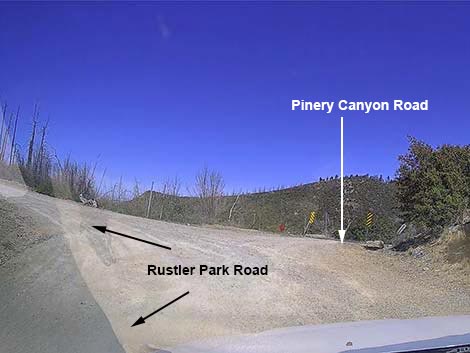
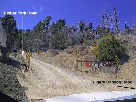
Pinery Canyon Road (departing Rustler Park Road westbound towards Wilcox, AZ)
 Start of Pinery Canyon Road (view N from Rustler Park Road) |
 Pinery Canyon Road -- lots of sharp curves (view N) |
 Descending Pinery Canyon Road |
 Descending Pinery Canyon Road |
 Descending Pinery Canyon Road |
 Descending Pinery Canyon Road |
 Winding down Pinery Canyon Road (view W) |
 Descending Pinery Canyon Road (view NW) |
 Pinery Canyon Road at BLM Boondocking Camp area (view W) |
 Pinery Canyon Road at BLM Boondocking Camp area (view W) |
 Low on Pinery Canyon Road (view NW) |
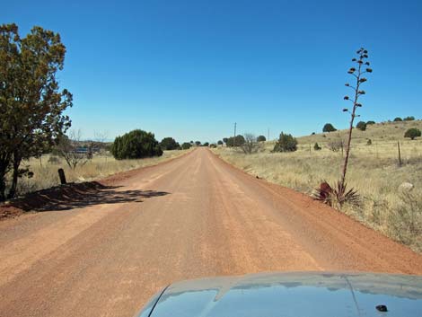
 Pinery Canyon Road traversing desert flats (view NW) |
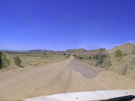
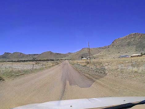 Pinery Canyon Road passing ranches in the desert (view NW) |
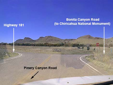 Pinery Canyon Road at Highway 181 (view N) |
Happy birding! All distances, elevations, and other facts are approximate.
![]() ; Last updated 240610
; Last updated 240610
| Portal Area | Favorite Places | Birding Around Las Vegas | Glossary | Copyright, Conditions, Disclaimer | Home |